Hall Plantation

Wood, Forest in Yorkshire Hambleton

England

Hall Plantation

Cleveland Way path heading off the moor This looks like a steep descent, but it's only a short descent before levelling out through the forest on Coate Moor.
Cleveland Way path heading off the moor Credit: Gordon Hatton

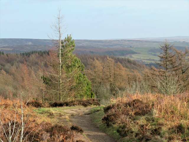
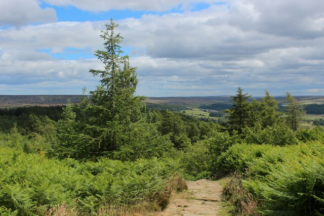
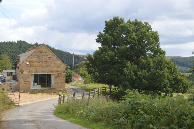
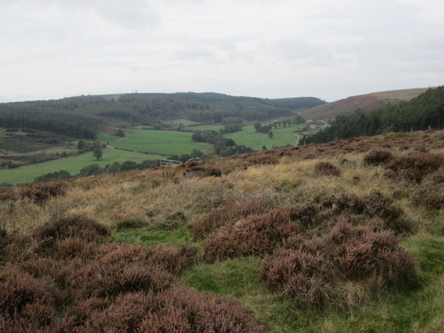
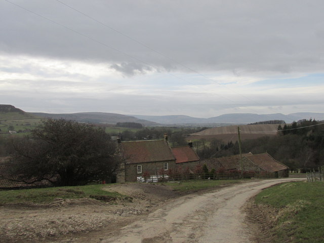
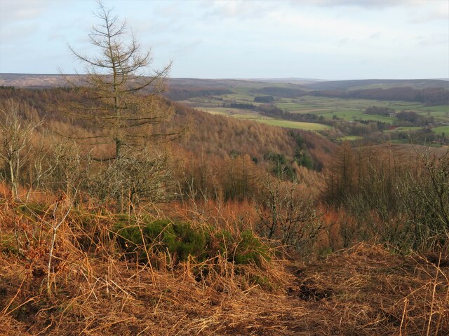
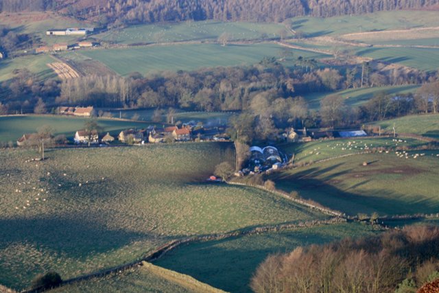
Hall Plantation is a picturesque woodland area located in Yorkshire, England. Covering an expansive area, the plantation is known for its lush greenery, towering trees, and serene atmosphere. The plantation is situated in close proximity to the small village of Wood, making it easily accessible for visitors.

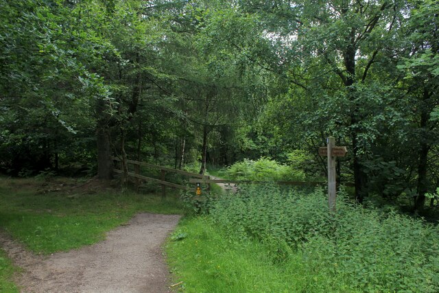
The woodland area is predominantly made up of various species of trees, including oak, beech, and birch, which provide a rich and diverse habitat for a wide range of flora and fauna. The plantation is home to an assortment of woodland birds, small mammals, and insects, making it a popular spot for nature enthusiasts and birdwatchers.

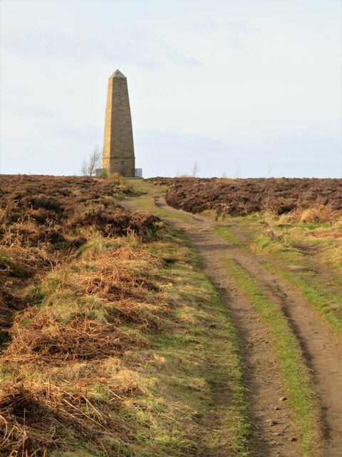
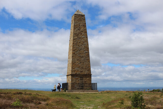
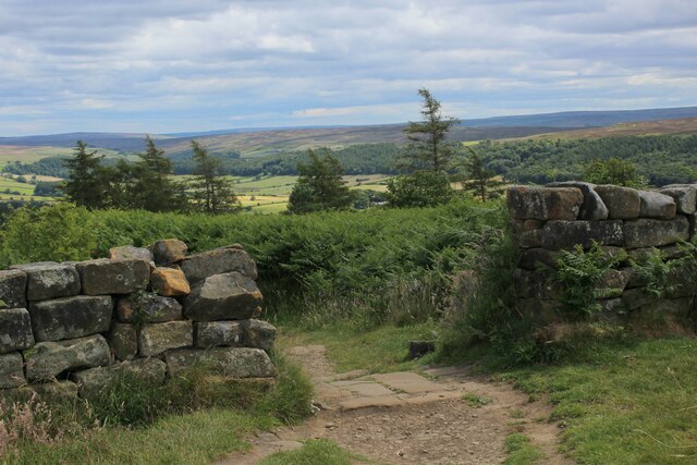
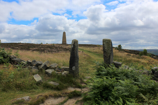
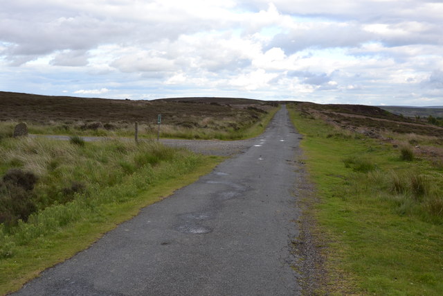
Visitors to Hall Plantation can enjoy a tranquil walk along its well-maintained footpaths, which wind their way through the dense foliage and lead to scenic viewpoints. The plantation also features a network of hidden glades and clearings, where visitors can relax and take in the natural beauty surrounding them.

The management of the plantation ensures the preservation of the natural ecosystem and the conservation of its wildlife. Regular maintenance work is carried out, including tree planting, coppicing, and woodland management, to ensure the long-term sustainability of the area.

Hall Plantation offers a peaceful retreat from the hustle and bustle of everyday life, providing an ideal setting for individuals seeking solace in nature. Whether it is for a leisurely stroll, a picnic, or simply to immerse oneself in the serene ambiance, Hall Plantation offers a truly idyllic experience for visitors of all ages.

If you have any feedback on the listing, please let us know in the comments section below.

Hall Plantation Images

Images are sourced within 2km of 54.479293/-1.0623826 or Grid Reference NZ6009. Thanks to Geograph Open Source API. All images are credited.

Cleveland Way path heading off the moor This looks like a steep descent, but it's only a short descent before levelling out through the forest on Coate Moor.
Cleveland Way path heading off the moor
This looks like a steep descent, but it's only a short descent before levelling out through the forest on Coate Moor.
Cleveland Way towards the Captain Cook Monument An easy stretch across near level moorland, but on this occasion the fierce NW headwind made progress difficult.
Cleveland Way towards the Captain Cook Monument
An easy stretch across near level moorland, but on this occasion the fierce NW headwind made progress difficult.
Path down to the car park A heavily used path that is part of the Cleveland Way and is also the easiest way to the Captain Cook monument from the road.  Much less litter [particularly doggy poo bags slung into trees] than on my last visit. No doubt some clearing up by public spirited people.
Path down to the car park
A heavily used path that is part of the Cleveland Way and is also the easiest way to the Captain Cook monument from the road. Much less litter [particularly doggy poo bags slung into trees] than on my last visit. No doubt some clearing up by public spirited people.
Cleveland Way approaching the Captain Cook Monument Monument erected on Easby Moor in memory of local lad, Captain James Cook - the celebrated 18th Century navigator and explorer.
The Cleveland Way takes an abrupt right turn at the obelisk, to head due north.
Cleveland Way approaching the Captain Cook Monument
Monument erected on Easby Moor in memory of local lad, Captain James Cook - the celebrated 18th Century navigator and explorer. The Cleveland Way takes an abrupt right turn at the obelisk, to head due north.
In the Depths of the Forest on Coate Moor The Cleveland Way takes to dark plantation between Kildale and Roseberry Topping.
In the Depths of the Forest on Coate Moor
The Cleveland Way takes to dark plantation between Kildale and Roseberry Topping.
Cleveland Way descending East off Easby Moor The National Trail heading into the forest on Coate Moor
Cleveland Way descending East off Easby Moor
The National Trail heading into the forest on Coate Moor
Cleveland Way leaving Easby Moor The Cleveland Way runs 110 miles (177 km) between Helmsley and the Brigg at Filey, skirting the North York Moors National Park. Its highest point is at Urra Moor, 1,489 ft (454 m).
Cleveland Way leaving Easby Moor
The Cleveland Way runs 110 miles (177 km) between Helmsley and the Brigg at Filey, skirting the North York Moors National Park. Its highest point is at Urra Moor, 1,489 ft (454 m).
Footpath Crossing Easby Moor Footpath heading for The Captain Cook Monument on Easby Moor
Footpath Crossing Easby Moor
Footpath heading for The Captain Cook Monument on Easby Moor
Rain squall on Brown Hill It was well forecast, but still quite a surprise when about 3pm it became very dark and the moor was lashed with wind and rain for maybe five minutes.
The temperature fell from 12°C to 6°C as a cold front moved through.
A short video can be found here. <span class="nowrap"><a title="http://www.youtube.com/watch?v=ylsmuJd-ALQ" rel="nofollow ugc noopener" href="http://www.youtube.com/watch?v=ylsmuJd-ALQ">Link</a><img style="margin-left:2px;" alt="External link" title="External link - shift click to open in new window" src="https://s1.geograph.org.uk/img/external.png" width="10" height="10"/></span>
Rain squall on Brown Hill
It was well forecast, but still quite a surprise when about 3pm it became very dark and the moor was lashed with wind and rain for maybe five minutes. The temperature fell from 12°C to 6°C as a cold front moved through. A short video can be found here. LinkExternal link
Barn conversion at Oak Tree Farm
View from Percy Cross Rigg Looking west to Lonsdale.
View from Percy Cross Rigg
Looking west to Lonsdale.
Bankside Farm Along the Cleveland Way.
Bankside Farm
Along the Cleveland Way.
Percy Cross Rigg Footpath off Percy Cross Rig near to Kildale, North Yorkshire.
Percy Cross Rigg
Footpath off Percy Cross Rig near to Kildale, North Yorkshire.
Old carving on a gatepost Mick Garratt mentioned this in one of his photographs several years ago, but I think this is the first time it has been recorded for geograph. The date appears to be 1668 [or 3?] and below are the initials TW [or possibly JW]. 350 year old graffiti? The post looks odd to me as it has one of those holes at the top which presumably once held a wooden bar, so has the post been turned through 90 degrees or moved from elsewhere?
Old carving on a gatepost
Mick Garratt mentioned this in one of his photographs several years ago, but I think this is the first time it has been recorded for geograph. The date appears to be 1668 [or 3?] and below are the initials TW [or possibly JW]. 350 year old graffiti? The post looks odd to me as it has one of those holes at the top which presumably once held a wooden bar, so has the post been turned through 90 degrees or moved from elsewhere?
East from Easby Moor Russet shades of late winter on the hill slopes below the southern end of Easby Moor. A day for hiding behind the old stone wall to find shelter for a picnic lunch.
East from Easby Moor
Russet shades of late winter on the hill slopes below the southern end of Easby Moor. A day for hiding behind the old stone wall to find shelter for a picnic lunch.
Arable field near Kildale The field is sown with a cereal crop which is growing a little thinly in a few places.
Arable field near Kildale
The field is sown with a cereal crop which is growing a little thinly in a few places.
The road to Kildale goes under the Esk Valley line
Easby Moor
Easby Moor
Show me another place!

Hall Plantation is located at Grid Ref: NZ6009 (Lat: 54.479293, Lng: -1.0623826)

Division: North Riding

Administrative County: North Yorkshire

District: Hambleton

Police Authority: North Yorkshire

What 3 Words

///label.outings.height. Near Ingleby Greenhow, North Yorkshire

Related Wikis

Kildale railway station

Kildale is a railway station on the Esk Valley Line, which runs between Middlesbrough and Whitby via Nunthorpe. The station, situated 12 miles 65 chains...

Easby Moor

Easby Moor is a hill located in the civil parish of Little Ayton in the North York Moors national park within the Cleveland Hills, North Yorkshire, England...

Warren Moor Mine

The Warren Moor Mine, was a short-lived mining concern south of Kildale, North Yorkshire, England. Activity at the site was limited to drift mining, and...

Kildale

Kildale is a village and civil parish in Hambleton district of North Yorkshire, England. It lies approximately 3 miles (4.8 km) south-east from Great Ayton...

Battersby railway station

Battersby is a railway station on the Esk Valley Line, which runs between Middlesbrough and Whitby via Nunthorpe. The station, situated 11 miles 4 chains...

Basedale Priory

Basedale Priory or Baysdale Priory was a priory in North Yorkshire, England located 8 miles (13 km) East from the parish church of Stokesley. It was a...

Easby, Hambleton

Easby is a village and civil parish in Hambleton District of North Yorkshire, England. It lies approximately 2 miles (3.2 km) south-east of Great Ayton...

Roseberry Mine

Roseberry Mine was an ironstone mine in the North Riding of Yorkshire, England, which operated between 1883 and 1924, with a break of 24 years. Both periods...

Nearby Amenities

Located within 500m of 54.479293,-1.0623826
Kildale
Public Transport: stop_position
Railway: stop
Train: yes
Lat/Long: 54.4777574/-1.0683129
Kildale
Place: village
Wikidata: Q6406698
Wikipedia: en:Kildale
Lat/Long: 54.4763329/-1.063748
Parking
Parking: layby
Lat/Long: 54.4755613/-1.0653654
Telephone
Booth: KX100
Covered: booth
Lat/Long: 54.4755838/-1.065032
Post Office
Kildale Mobile Post Office
Addr City: Whitby
Addr Country: GB
Addr Postcode: YO21 2RG
Addr Suburb: Kildale
Opening Hours: Tu 11:30-12:30
Ref Pol Id: 139877
Lat/Long: 54.4755525/-1.0654958
Cafe
Glebe Cottage
Addr City: Whitby
Addr Postcode: YO21 2RH
Addr Street: Station Road
Addr Suburb: Kildale
Email: glebe.cottage@virgin.net
Opening Hours: Mo-We 11:00-16:30; Fr-Su 11:00-16:30
Phone: +44 1642 724 470
Source: local_knowledge;website
Lat/Long: 54.4765664/-1.0642223
Kildale
Naptan AtcoCode: 9100KLDL
Network: National Rail
Network Website: https://www.nationalrail.co.uk/stations/kld/
Network Wikidata: Q26334
Operator: Northern Rail
Operator Website: https://www.northernrailway.co.uk/stations/kildale
Operator Wikidata: Q85789775
Public Transport: station
Railway: station
Ref Crs: KLD
Source: OS_OpenData_StreetView
Uic Ref: 7001251
Wikidata: Q6406700
Wikipedia: en:Kildale railway station
Lat/Long: 54.4777507/-1.0683268
Post Box
Collection Times: Mo-Fr 16:00; Sa 09:45
Operator: Royal Mail
Post Box Type: lamp
Ref: YO21 76
Royal Cypher: EIIR
Royal Cypher Wikidata: Q33102113
Lat/Long: 54.4755697/-1.065091
Entrance: yes
Wheelchair: no
Lat/Long: 54.4756918/-1.0657894
Defibrillator
Defibrillator Location: outside Kildale Village Hall, YO21 2RG
Emergency: defibrillator
Indoor: no
Lat/Long: 54.4756748/-1.0657754
Hall Farm
Place: farm
Lat/Long: 54.4757176/-1.0632088
Kirkdale Hall
Place: isolated_dwelling
Lat/Long: 54.4770309/-1.0598726
Welcome to Kildale
Information: board
Tourism: information
Lat/Long: 54.4755528/-1.0651326
Information: guidepost
Tourism: information
Lat/Long: 54.4760837/-1.0639162
Information: guidepost
Tourism: information
Lat/Long: 54.4765425/-1.0644187
Barrier: cattle_grid
Lat/Long: 54.4790141/-1.0664374
Barrier: kissing_gate
Lat/Long: 54.4789945/-1.0664519
The data included in this document is from www.openstreetmap.org. The data is made available under ODbL.

Have you been to Hall Plantation?

Leave your review of Hall Plantation below (or comments, questions and feedback).