Lund Rigg Plantation

Wood, Forest in Yorkshire Ryedale

England

Lund Rigg Plantation

Farm and buildings at Newgate Foot This is the last square to be geographed in Hectad SE69. Pockley Moor can be seen in the distance.
Farm and buildings at Newgate Foot Credit: Phil Catterall

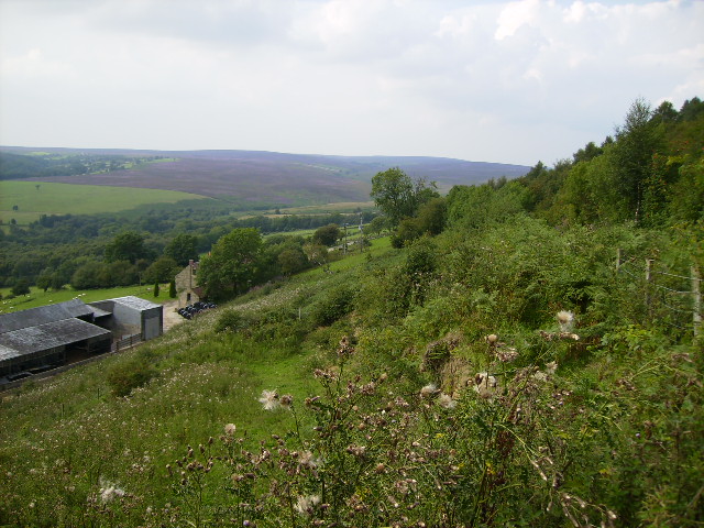
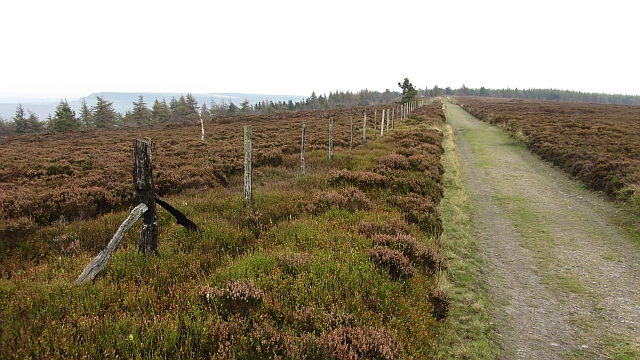
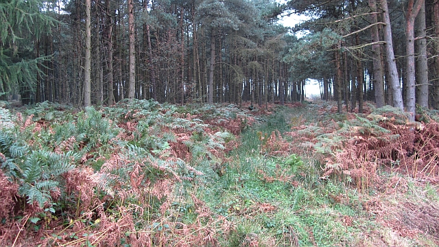
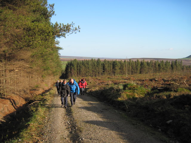
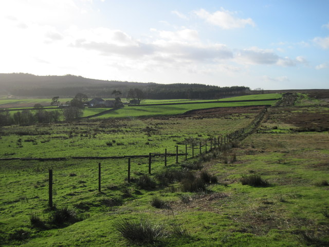
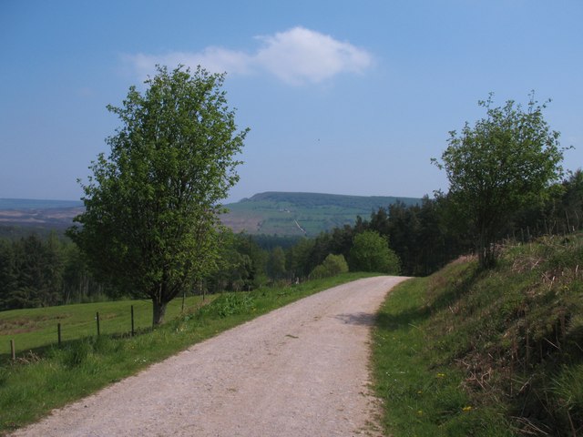
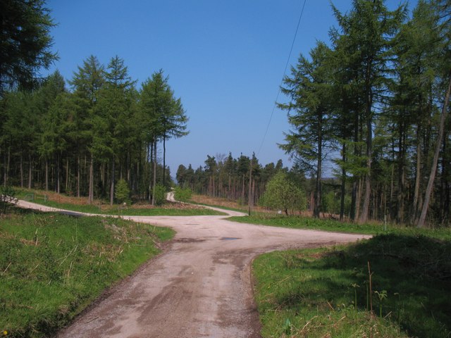
Lund Rigg Plantation is a picturesque woodland located in the county of Yorkshire, England. Situated near the village of Lund, this plantation covers a vast area of land, offering visitors an immersive and tranquil experience surrounded by nature. The woodland is known for its dense population of trees, primarily consisting of native species such as oak, beech, and birch.

The plantation boasts a rich history, dating back several centuries. It was originally established as a hunting ground for the local nobility, who enjoyed the dense cover provided by the trees. Over time, Lund Rigg Plantation evolved into a managed forest, with careful attention given to the maintenance and preservation of the natural ecosystem.

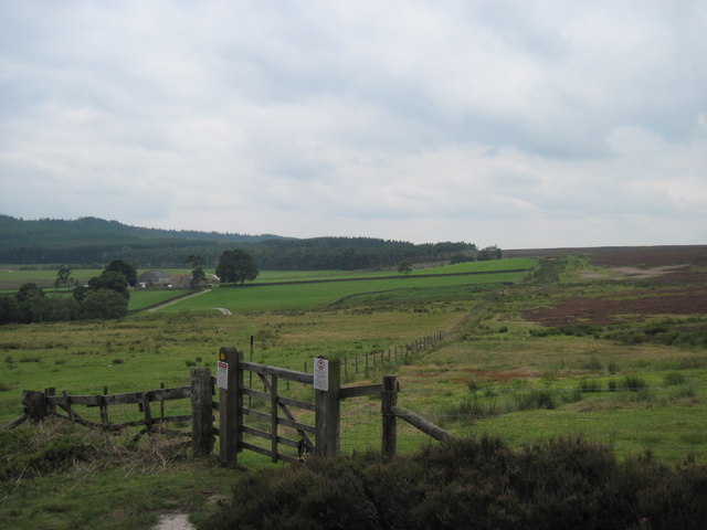
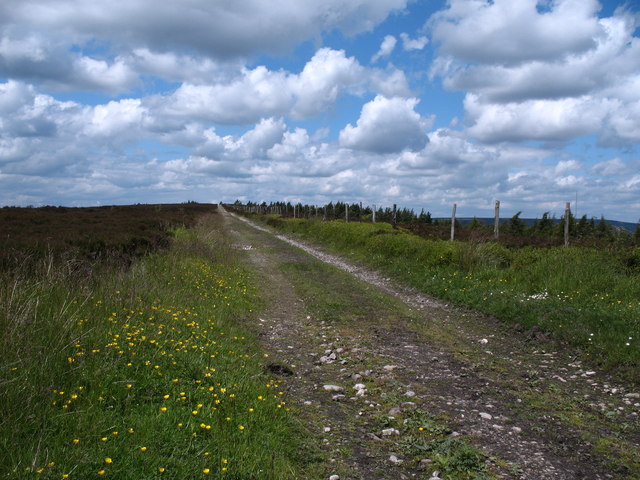
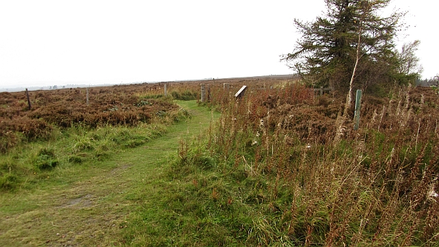
Today, the woodland serves as a popular destination for nature enthusiasts and hikers alike. Its well-maintained trails wind through the forest, allowing visitors to explore the diverse flora and fauna that call Lund Rigg Plantation home. The woodland is particularly enchanting during spring, when a vibrant carpet of wildflowers covers the forest floor.

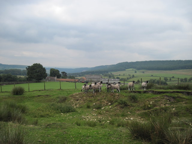
In addition to its natural beauty, Lund Rigg Plantation also offers a range of recreational activities. Visitors can enjoy picnicking in designated areas, birdwatching, or even partake in organized nature walks led by knowledgeable guides. The plantation is also a great spot for wildlife spotting, with various species of birds, deer, and other small mammals frequently sighted.

Lund Rigg Plantation truly offers a serene retreat from the hustle and bustle of everyday life, providing a unique opportunity to reconnect with nature in the heart of Yorkshire.

If you have any feedback on the listing, please let us know in the comments section below.

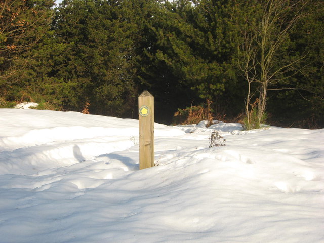
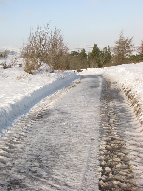
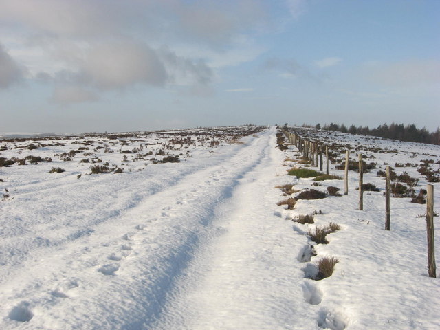
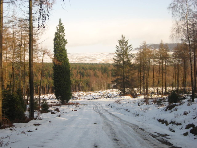
Lund Rigg Plantation Images

Images are sourced within 2km of 54.306406/-1.0663615 or Grid Reference SE6090. Thanks to Geograph Open Source API. All images are credited.

Farm and buildings at Newgate Foot This is the last square to be geographed in Hectad SE69. Pockley Moor can be seen in the distance.
Farm and buildings at Newgate Foot
This is the last square to be geographed in Hectad SE69. Pockley Moor can be seen in the distance.
Moorland  Sheep  and  Potter  House  Farm From footpath to East Moor Wood.
Moorland Sheep and Potter House Farm
From footpath to East Moor Wood.
Moor  Edge  and  Potter  House  Farm From the footpath to East Moor Wood.
Moor Edge and Potter House Farm
From the footpath to East Moor Wood.
Track on Helmsley Bank Track and public footpath heading west along the top of the Tabular Hills scarp.
Track on Helmsley Bank
Track and public footpath heading west along the top of the Tabular Hills scarp.
Rievaulx Moor Track running up to the triangulation pillar from a public road. The fence is reduced to charred posts, the result of muirburn, or maybe something more sinister (the forest on Helmsley Bank is intact).
Rievaulx Moor
Track running up to the triangulation pillar from a public road. The fence is reduced to charred posts, the result of muirburn, or maybe something more sinister (the forest on Helmsley Bank is intact).
Path on Helmsley Bank The path leaves the road at the edge of the scarp on Helmsley Bank and runs over Rievaulx Moor to Newgate Bank as a well surfaced moorland road.
Path on Helmsley Bank
The path leaves the road at the edge of the scarp on Helmsley Bank and runs over Rievaulx Moor to Newgate Bank as a well surfaced moorland road.
Ride, Roppa Wood A flat area of woodland, beneath steep Helmsley Bank.
Ride, Roppa Wood
A flat area of woodland, beneath steep Helmsley Bank.
Baxton's wood in the snow Taken on a snowy January morning from the footpath junction in Baxton's Wood above Clarke Bank.
Baxton's wood in the snow
Taken on a snowy January morning from the footpath junction in Baxton's Wood above Clarke Bank.
The top of Clarke Bank Public footpath sign showing the path that descends through the woods at Clarke Bank.
The top of Clarke Bank
Public footpath sign showing the path that descends through the woods at Clarke Bank.
Helmsley Bank Due to the snow being too soft and deep higher up on the moor near the trig point, a shortcut down the single track road on Helmsley Bank had to be made to rejoin the planned circular route back to Cowhouse Bank.
Helmsley Bank
Due to the snow being too soft and deep higher up on the moor near the trig point, a shortcut down the single track road on Helmsley Bank had to be made to rejoin the planned circular route back to Cowhouse Bank.
Helmsley Moor Due to the rising temperatures, the snow was getting softer and as it was still very deep, it was becoming impossible to climb any higher across the moor.
Helmsley Moor
Due to the rising temperatures, the snow was getting softer and as it was still very deep, it was becoming impossible to climb any higher across the moor.
Roppa Wood Looking down the icy and slippery forest track which is also a public footpath.
Roppa Wood
Looking down the icy and slippery forest track which is also a public footpath.
Forest  Track  in  East  Moor  Wood Also the footpath over Collis Ridge
Forest Track in East Moor Wood
Also the footpath over Collis Ridge
Moorland,  Fields  and  Potter  House  Farm Farm left of centre with Roppa Wood behind.
Moorland, Fields and Potter House Farm
Farm left of centre with Roppa Wood behind.
Forest track below Clark Bank A break in the forestry plantations gives a view towards Birk Nab and the scarp slope of the Tabular Hills.
Forest track below Clark Bank
A break in the forestry plantations gives a view towards Birk Nab and the scarp slope of the Tabular Hills.
An island of farmland An area of improved ground surrounded on three sides by forestry pantations and on the fourth by open moorland. In the distance is Potter House Farm, whilst closer to the camera are the ruins of a dwelling named as Broad Oak on old OS maps.
An island of farmland
An area of improved ground surrounded on three sides by forestry pantations and on the fourth by open moorland. In the distance is Potter House Farm, whilst closer to the camera are the ruins of a dwelling named as Broad Oak on old OS maps.
Line of 18thC watercourse in the woods An unexpected find in the woodland on Clark Bank. The prow is sloping uphill to the right, but to the left is what appears to be a narrow level path through the wood. It is actually a section of the Carlton water race, constructed in 1759 and running 7 miles from reliable water sources above Bilsdale [in SE5895] on the moor and contouring around the scarp slope to eventually reach the village of Carlton on the limestone plateau.  The engineer was Joseph Foord of Kirkbymoorside, and he was responsible for a series of cleverly constructed water channels that brought water from the moors to the limestone villages and farms. At this point the channel is around 260m above sea level, having dropped some 40m from its source.
Line of 18thC watercourse in the woods
An unexpected find in the woodland on Clark Bank. The prow is sloping uphill to the right, but to the left is what appears to be a narrow level path through the wood. It is actually a section of the Carlton water race, constructed in 1759 and running 7 miles from reliable water sources above Bilsdale [in SE5895] on the moor and contouring around the scarp slope to eventually reach the village of Carlton on the limestone plateau. The engineer was Joseph Foord of Kirkbymoorside, and he was responsible for a series of cleverly constructed water channels that brought water from the moors to the limestone villages and farms. At this point the channel is around 260m above sea level, having dropped some 40m from its source.
Five way junction at bottom of Helmsley Bank The point where the tarmac ends at the bottom of Helmsley Bank with forest tracks heading left, right, and ahead towards Roppa Sands. The last track is half right and is hidden by the trees - this leading to Potter House Farm.
Five way junction at bottom of Helmsley Bank
The point where the tarmac ends at the bottom of Helmsley Bank with forest tracks heading left, right, and ahead towards Roppa Sands. The last track is half right and is hidden by the trees - this leading to Potter House Farm.
Show me another place!

Lund Rigg Plantation is located at Grid Ref: SE6090 (Lat: 54.306406, Lng: -1.0663615)

Division: North Riding

Administrative County: North Yorkshire

District: Ryedale

Police Authority: North Yorkshire

What 3 Words

///thin.recitals.stubborn. Near Helmsley, North Yorkshire

Related Wikis

Sleightholme Dale

Sleightholme Dale, sometimes spelt in one word, Sleightholmedale, is a valley in the North York Moors in North Yorkshire, England. The dale is the middle...

Bilsdale

Bilsdale is a dale in the western part of the North York Moors in North Yorkshire, England. The head of the dale is at Hasty Bank, and the dale extends...

Laskill

Laskill is a small hamlet in Bilsdale, 5 miles (8 km) north-west of Helmsley, North Yorkshire, England, on the road from Helmsley to Stokesley and is located...

Pockley

Pockley is a small village and civil parish in North Yorkshire, England. It is about 1 mile north-east of Helmsley turning north from the A170 road. Its...

Rievaulx Terrace

Rievaulx Terrace is a site located in the North York Moors National Park, in North Yorkshire, England, overlooking Rievaulx Abbey and owned by the National...

Swiss Cottage, Rievaulx

Swiss Cottage is a Grade II listed building in the English village of Rievaulx, North Yorkshire. It dates to at least the 17th century, with earlier origins...

Rievaulx

Rievaulx (usually pronounced REE-voh) is a small village and civil parish in Rye Dale within the North York Moors National Park near Helmsley in North...

Rievaulx Abbey

Rievaulx Abbey ( ree-VOH) was a Cistercian abbey in Rievaulx, near Helmsley, in the North York Moors National Park, North Yorkshire, England. It was one...

Nearby Amenities

Located within 500m of 54.306406,-1.0663615
Ford: yes
Intermittent: yes
Lat/Long: 54.301992/-1.06491
Post Box
Collection Times: Mo-Fr 12:00; Sa 09:15
Operator: Royal Mail
Post Box Design: waggon_top
Post Box Type: lamp
Ref: YO62 456
Royal Cypher: GVIR
Royal Cypher Wikidata: Q33102169
Lat/Long: 54.304957/-1.065003
Ford: yes
Source: OS_OpenData_StreetView
Lat/Long: 54.304571/-1.0667955
Telephone
Booth: K6
Check Date: 2021-06-19
Covered: booth
Listed Status: Grade II
Lat/Long: 54.3049757/-1.0650835
Fixme: continue
Lat/Long: 54.3049447/-1.0649102
Lund Farm
Place: farm
Lat/Long: 54.3065509/-1.0589067
Old Fold
Place: farm
Lat/Long: 54.3069508/-1.0719855
Barrier: stile
Lat/Long: 54.3062584/-1.0604111
The data included in this document is from www.openstreetmap.org. The data is made available under ODbL.

Have you been to Lund Rigg Plantation?

Leave your review of Lund Rigg Plantation below (or comments, questions and feedback).