Goathouse Copse
Wood, Forest in Hampshire Winchester
England
Goathouse Copse
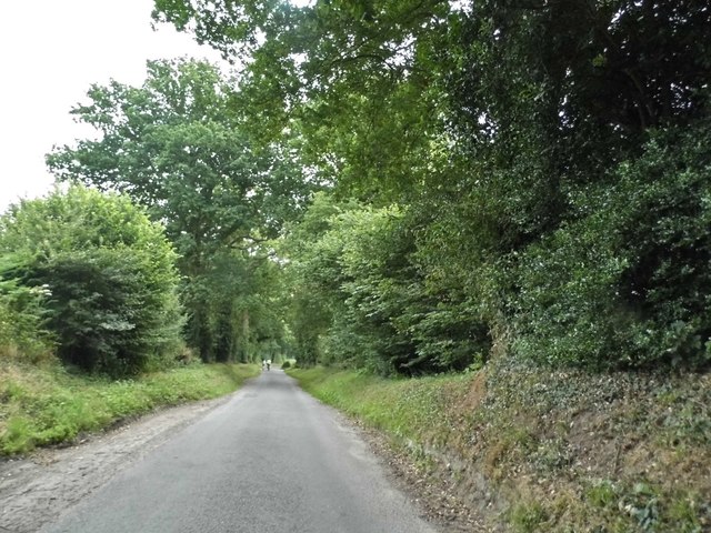
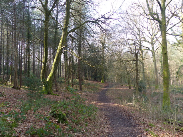
Goathouse Copse is a picturesque woodland located in the county of Hampshire, England. Covering an area of approximately 30 acres, this enchanting copse is nestled in the heart of the Hampshire countryside, offering visitors a tranquil and immersive natural experience.
The copse is characterized by its dense canopy of ancient oak and beech trees, which provide a haven for a diverse range of flora and fauna. Walking through the copse, visitors can marvel at the interplay of light and shadow as it filters through the foliage, creating a mesmerizing and ever-changing landscape.
The forest floor is adorned with a vibrant carpet of bluebells during the spring months, transforming the copse into a sea of purple and adding an ethereal quality to the surroundings. In addition to the bluebells, the copse is home to a variety of wildflowers, including primroses, wood anemones, and foxgloves, which add bursts of color to the woodland.
Wildlife enthusiasts will be delighted by the abundance of animal species that call Goathouse Copse their home. The copse provides habitat for a range of bird species, including woodpeckers, owls, and thrushes. In addition, visitors may encounter small mammals such as squirrels, rabbits, and hedgehogs, while lucky observers may even catch a glimpse of a deer or a fox roaming through the undergrowth.
Goathouse Copse is a sanctuary for nature lovers, offering a peaceful retreat from the hustle and bustle of everyday life. Whether it's a leisurely stroll, wildlife spotting, or simply appreciating the beauty of nature, this enchanting woodland provides an immersive experience that delights all who visit.
If you have any feedback on the listing, please let us know in the comments section below.
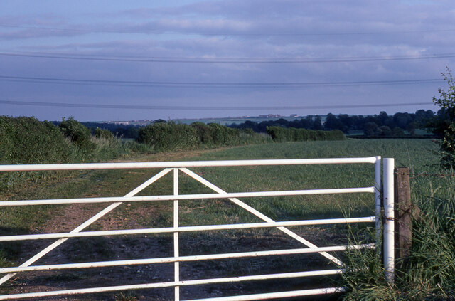
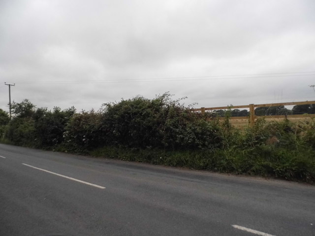
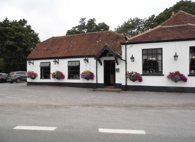
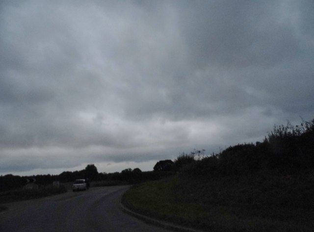
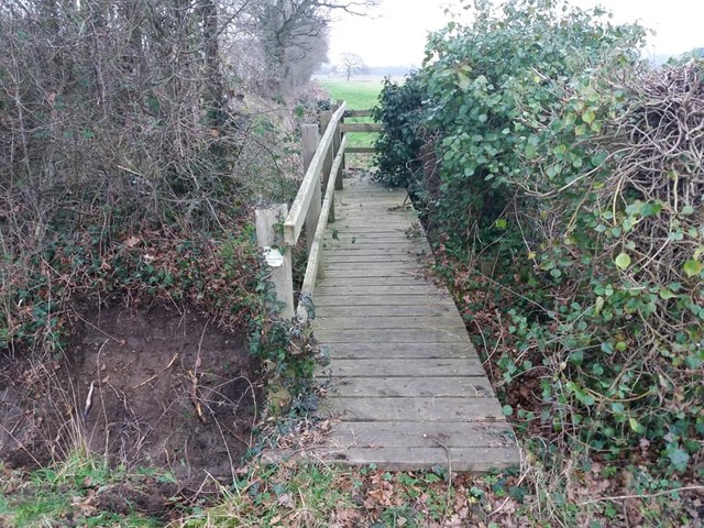
Goathouse Copse Images
Images are sourced within 2km of 50.898224/-1.1361531 or Grid Reference SU6011. Thanks to Geograph Open Source API. All images are credited.


Goathouse Copse is located at Grid Ref: SU6011 (Lat: 50.898224, Lng: -1.1361531)
Administrative County: Hampshire
District: Winchester
Police Authority: Hampshire
What 3 Words
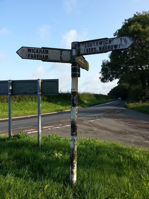
///retailing.examples.national. Near Wickham, Hampshire
Nearby Locations
Related Wikis

North Boarhunt
North Boarhunt is a village in the City of Winchester district of Hampshire, England. It is in the civil parish of Boarhunt. Its nearest town is Fareham...
Boarhunt
Boarhunt () is a village and civil parish in the City of Winchester district of Hampshire, England, about 2 miles (3 kilometres) north-east of Fareham...
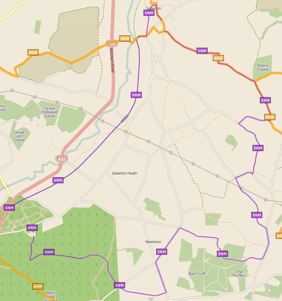
Soberton and Newtown Millennium Walk 2000
The Soberton and Newtown Millennium Walk 2000 is a 10-mile circular footpath through Hampshire, England around villages of Soberton and Newtown. Sections...
Worlds End, Hampshire
Worlds End is a small village in the civil parish of Denmead in the City of Winchester district of Hampshire, England. The village is about 7 miles (11...
Wood End, Hampshire
Wood End is a hamlet in the civil parish of Soberton in the City of Winchester district of Hampshire, England. Its nearest town is Fareham, which lies...

Southwick, Hampshire
Southwick is a village and former civil parish, now in the parish of Southwick and Widley, in the Winchester district, in Hampshire, England. 1 mile...
South Boarhunt
South Boarhunt is a small village in the civil parish of Boarhunt in the City of Winchester district of Hampshire, England. Its nearest town is Fareham...
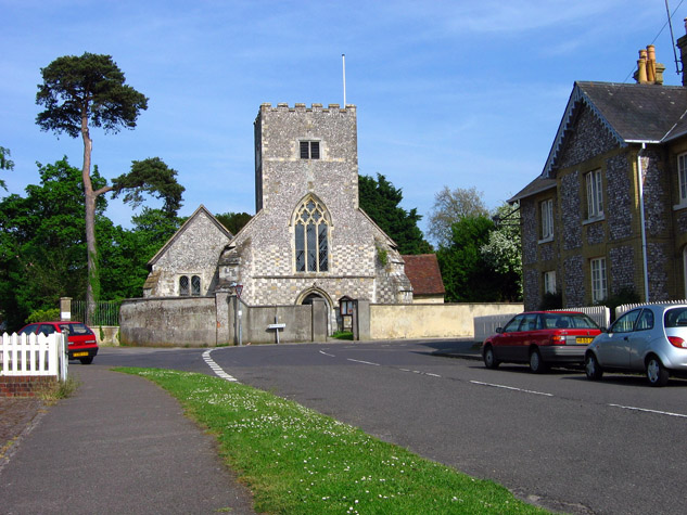
St James Church, Southwick
St James Church, Southwick is the Church of England parish church of Southwick, Hampshire, England. The parish is part of the Diocese of Portsmouth.The...
Related Videos


Arrival at ROOKESBURY PARK Caravan & Motorhome club site
Arrival at Rookesbury Park Caravan & Motorhome club site We were booked for early ferry to Caen (Ouistreham) for 8 day holiday ...

Arriving At Rookesbury Park Caravan And Motorhome Club Site
We continue our Southern Tour and arrive at Rookesbury Park Caravan And Motorhome Club Site, near Fareham and Wickham ...
Nearby Amenities
Located within 500m of 50.898224,-1.1361531Have you been to Goathouse Copse?
Leave your review of Goathouse Copse below (or comments, questions and feedback).