Oxclose Wood

Wood, Forest in Yorkshire Ryedale

England

Oxclose Wood

Oxclose Wood The middle of Oxclose Wood.
Oxclose Wood Credit: T Eyre

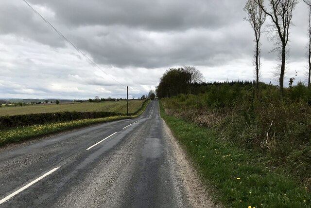
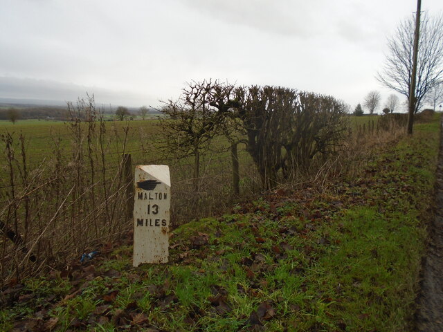
Oxclose Wood, located in the county of Yorkshire, is a picturesque woodland area known for its natural beauty and diverse range of flora and fauna. Covering an area of approximately 100 hectares, the wood is a popular destination for nature enthusiasts, hikers, and wildlife photographers.

The wood is predominantly comprised of deciduous trees such as oak, beech, and birch, which create a vibrant canopy during the spring and summer months. The forest floor is carpeted with a variety of wildflowers, including bluebells and wood anemones, adding bursts of color to the landscape.

Oxclose Wood is home to a rich and diverse wildlife population. Visitors can spot numerous bird species, including woodpeckers, nuthatches, and tawny owls. Small mammals, such as rabbits, squirrels, and foxes, can also be observed scurrying through the undergrowth. The wood is particularly renowned for its population of roe deer, with sightings of these graceful creatures being a common occurrence.

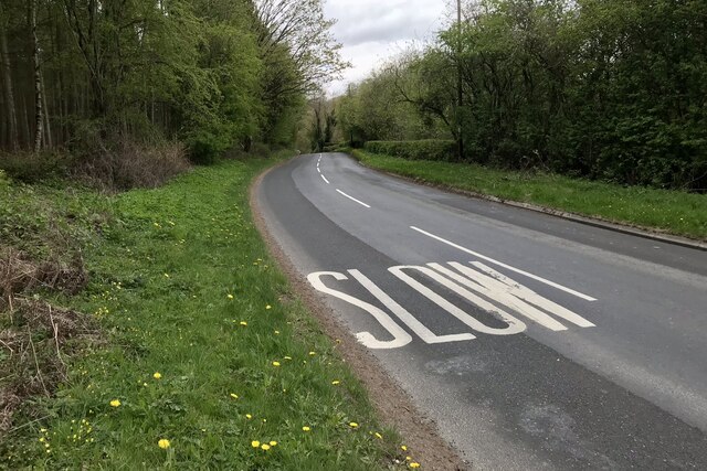
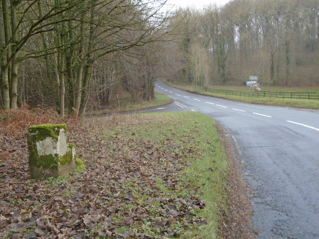
Trails and footpaths meander through the wood, allowing visitors to explore its beauty at their own pace. These paths provide access to various viewpoints, from which panoramic vistas of the surrounding countryside can be admired. Additionally, there are designated picnic areas and benches scattered throughout the wood, providing opportunities for visitors to relax and immerse themselves in the tranquil ambiance.

Overall, Oxclose Wood in Yorkshire offers a serene and enchanting escape into nature, where visitors can reconnect with the natural world and enjoy the breathtaking scenery and wildlife it has to offer.

If you have any feedback on the listing, please let us know in the comments section below.

Oxclose Wood Images

Images are sourced within 2km of 54.216505/-1.0795082 or Grid Reference SE6080. Thanks to Geograph Open Source API. All images are credited.

Oxclose Wood The middle of Oxclose Wood.
Oxclose Wood
The middle of Oxclose Wood.
B1257 near Oswaldkirk
B1257, Low Street
B1257, Low Street
New milepost In 2003 the milepost at this site was recorded as cracked but repaired.   In 2010 it was destroyed by vehicular impact.   It had been cast at the foundry of F Mattison & Co. Bedale.   Ryedale UDC had this identical replacement cast at Cleveland Corrosion and it was set up in 2011.
New milepost
In 2003 the milepost at this site was recorded as cracked but repaired. In 2010 it was destroyed by vehicular impact. It had been cast at the foundry of F Mattison & Co. Bedale. Ryedale UDC had this identical replacement cast at Cleveland Corrosion and it was set up in 2011.
New milepost A winter view of the replacement milepost with Malton and the Derwent Valley below the horizon.
New milepost
A winter view of the replacement milepost with Malton and the Derwent Valley below the horizon.
Old milestone The most northerly of the four remaining stepstone milestones placed by the York to Oswaldkirk Bank Turnpike Trust.  They were set up after 1772 at 3 mile intervals with wooden posts for the miles in between.   It is the only one now set 'correctly'.  There are faint remains of To/Helmsley/2 Miles in a recessed oval on the left face.   To/York/21/Miles is in a recessed oval on the front.  Link 6044978.  The lane to the left leads to Ampleforth.
Old milestone
The most northerly of the four remaining stepstone milestones placed by the York to Oswaldkirk Bank Turnpike Trust. They were set up after 1772 at 3 mile intervals with wooden posts for the miles in between. It is the only one now set 'correctly'. There are faint remains of To/Helmsley/2 Miles in a recessed oval on the left face. To/York/21/Miles is in a recessed oval on the front. Link 6044978. The lane to the left leads to Ampleforth.
Old milestone As the years pass more moss and lichens accumulate on these old, almost 250 year old, stones.   The inscribed legends become less and less legible.  This milestone has a pin and cut bench mark on the top.
Old milestone
As the years pass more moss and lichens accumulate on these old, almost 250 year old, stones. The inscribed legends become less and less legible. This milestone has a pin and cut bench mark on the top.
Old milepost On the A170 from the milepost Thirsk 4, only Thirsk 8, although 'Listed',  has never been recorded for the Milestone Society.   Thirsk 10 was found in 2005 but not seen in 2011 or 2022.   Thirsk 12 is the last/first on this route as within ½ mile this road joins the Malton/Helmsley road.  All the posts are on the southern side of the road.   This post is Grade II listed 1315911.
Old milepost
On the A170 from the milepost Thirsk 4, only Thirsk 8, although 'Listed', has never been recorded for the Milestone Society. Thirsk 10 was found in 2005 but not seen in 2011 or 2022. Thirsk 12 is the last/first on this route as within ½ mile this road joins the Malton/Helmsley road. All the posts are on the southern side of the road. This post is Grade II listed 1315911.
View of Harome View of Harome, the Vale of Pickering and the North York Moors from the B1257
View of Harome
View of Harome, the Vale of Pickering and the North York Moors from the B1257
Grange Moor Plantation Track Track along the western side of Grange Moor Plantation (on your left).
Grange Moor Plantation Track
Track along the western side of Grange Moor Plantation (on your left).
Grange Moor Plantation South of Helmsley.
Grange Moor Plantation
South of Helmsley.
Entry into Ampleforth The road into Ampleforth from Oswaldkirk.
Entry into Ampleforth
The road into Ampleforth from Oswaldkirk.
Ampleforth Telephone Exchange This TE is situated East of Ampleforth Abbey and College on the road to Oswaldkirk. Its postcode is YO62 4HB.
Ampleforth Telephone Exchange
This TE is situated East of Ampleforth Abbey and College on the road to Oswaldkirk. Its postcode is YO62 4HB.
Golden Square Campsite Most of the site is set within a small valley and is hidden to view. The camp admin building, shop and main toilet block are the buildings at centre of picture.
Golden Square Campsite
Most of the site is set within a small valley and is hidden to view. The camp admin building, shop and main toilet block are the buildings at centre of picture.
Woodland track, Grange Moor Plantation There are a number of permissive paths within the plantation.
Woodland track, Grange Moor Plantation
There are a number of permissive paths within the plantation.
Track, Grange Moor Plantation The track towards Ampleforth College runs beside Grange Moor Plantation.
Track, Grange Moor Plantation
The track towards Ampleforth College runs beside Grange Moor Plantation.
Arable field near Oswaldkirk The field is sown with a cereal crop.  The hedge divides the field from the road.
Arable field near Oswaldkirk
The field is sown with a cereal crop. The hedge divides the field from the road.
West towards Ampleforth
Show me another place!

Oxclose Wood is located at Grid Ref: SE6080 (Lat: 54.216505, Lng: -1.0795082)

Division: North Riding

Administrative County: North Yorkshire

District: Ryedale

Police Authority: North Yorkshire

What 3 Words

///victor.scouts.budgeted. Near Helmsley, North Yorkshire

Related Wikis

Ampleforth College

Ampleforth College is a co-educational fee-charging boarding and day school in the English public school tradition. It opened in 1802 as a boys' school...

Ampleforth Abbey

Ampleforth Abbey is a monastery of Benedictine monks a mile to the east of Ampleforth, North Yorkshire, England, part of the English Benedictine Congregation...

Sproxton, North Yorkshire

Sproxton is a village and civil parish in the Ryedale district of North Yorkshire, England. It is 1.2 miles (2 km) south of Helmsley and on the junction...

Ampleforth

Ampleforth is a village and civil parish in North Yorkshire, England, 20 miles (32 km) north of York. The village is situated on the edge of the North...

Church of Saint Oswald, King and Martyr, Oswaldkirk

The Church of Saint Oswald, King and Martyr is an Anglican church serving the village and parish of Oswaldkirk, North Yorkshire, England. It is located...

Duncombe Park

Duncombe Park is the seat of the Duncombe family who previously held the Earldom of Feversham. The title became extinct on the death of the 3rd Earl in...

Oswaldkirk

Oswaldkirk is a small village and civil parish 4 miles (6.4 km) south of Helmsley and 20 miles (32 km) north of York in North Yorkshire, England. It is...

Helmsley Castle

Helmsley Castle (also known anciently as Hamlake) is a medieval castle situated in the market town of Helmsley, within the North York Moors National Park...

Nearby Amenities

Located within 500m of 54.216505,-1.0795082
Barrier: stile
Step Count: 2
Stile: stepover
Lat/Long: 54.2121721/-1.0792083
Barrier: stile
Step Count: 2
Stile: stepover
Lat/Long: 54.2136754/-1.0761163
The data included in this document is from www.openstreetmap.org. The data is made available under ODbL.

Have you been to Oxclose Wood?

Leave your review of Oxclose Wood below (or comments, questions and feedback).