Hermitage Plantation
Wood, Forest in Yorkshire Hambleton
England
Hermitage Plantation
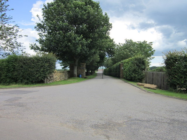
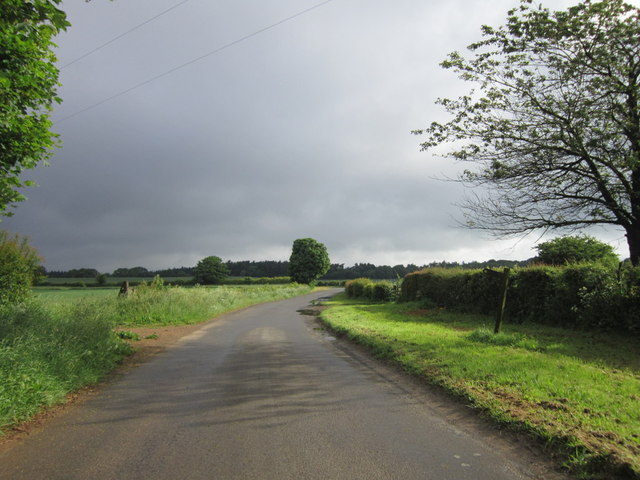
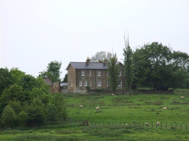
Hermitage Plantation is a picturesque and historic estate located in Yorkshire, England. Nestled amidst lush woodlands and serene forests, it offers a retreat-like environment for those seeking tranquility and natural beauty.
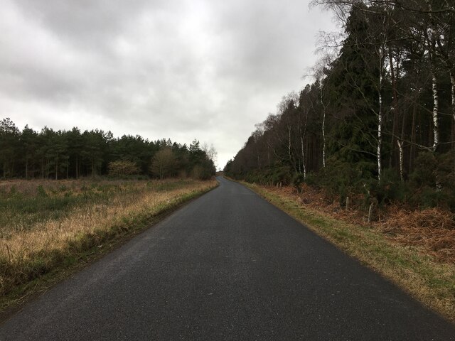
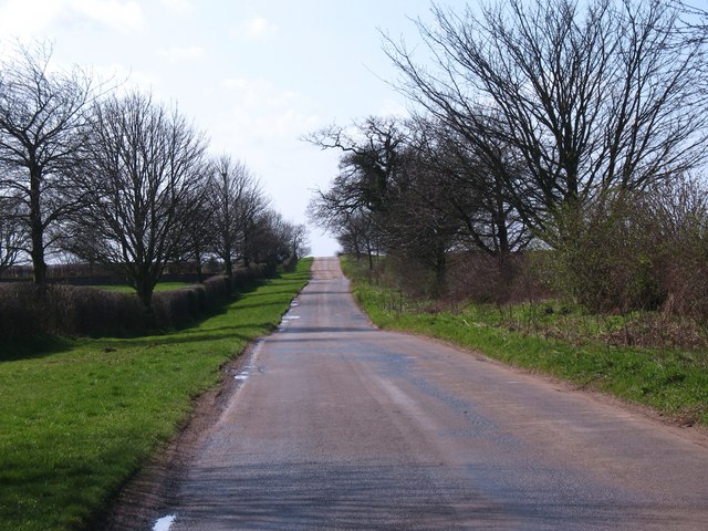
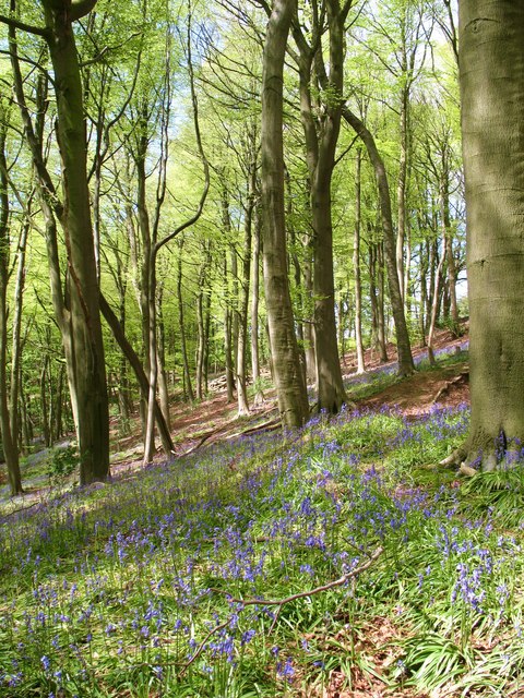
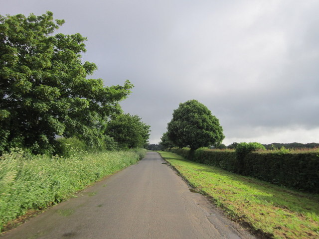
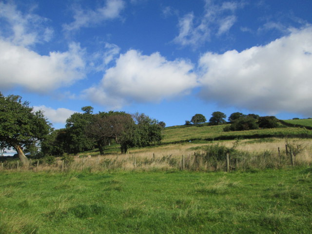
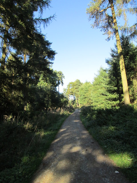
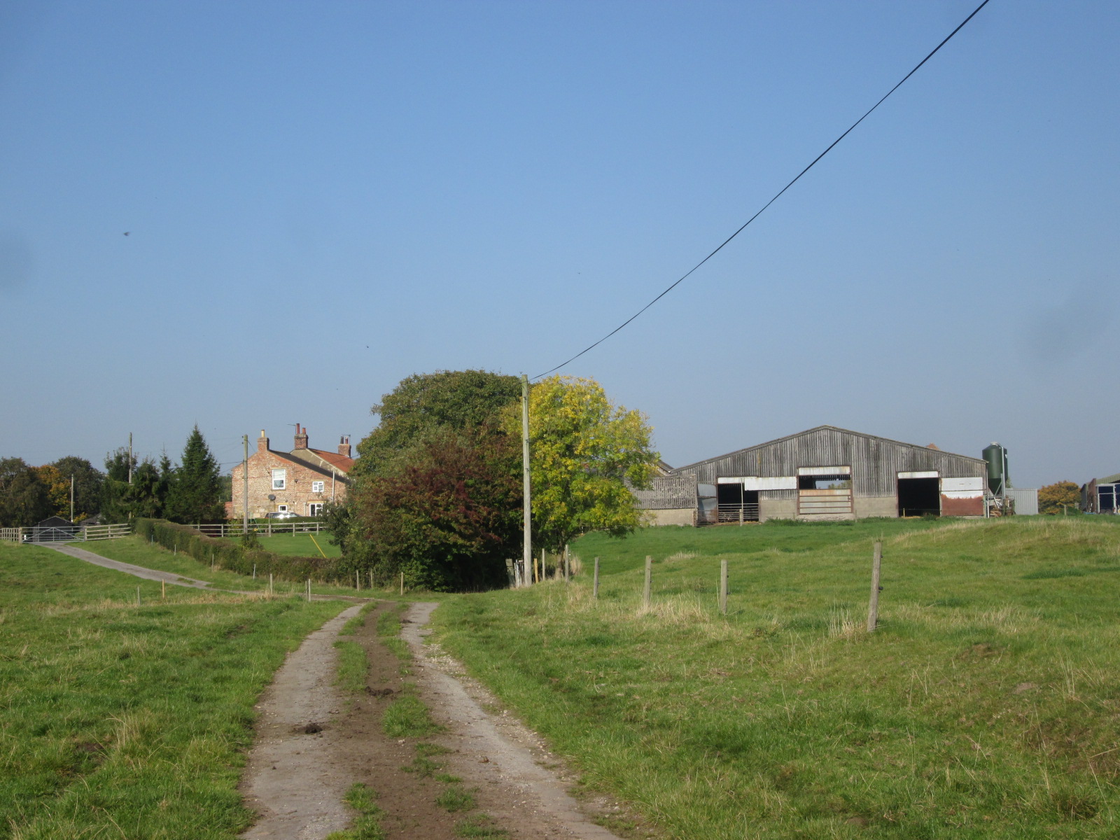
Covering a vast area, Hermitage Plantation is known for its diverse flora and fauna, making it a haven for nature enthusiasts. The woodlands are home to a variety of tree species, including oak, beech, and birch, which create a lush canopy overhead. The forest floor is adorned with wildflowers and ferns, while small streams meander through the landscape, adding to its charm.
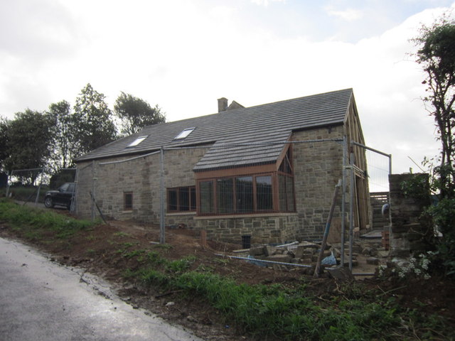
The plantation's rich history dates back to the 18th century when it was originally established as a private hunting ground for local nobility. Over the years, it has been carefully preserved and maintained, with some parts of the estate retaining their original architecture and features. The grand manor house, with its imposing facade and elegant interiors, stands as a testament to the plantation's past glory.
Visitors to Hermitage Plantation can explore its extensive network of walking trails, which wind through the woodlands and offer breathtaking views of the surrounding countryside. The estate also boasts a well-maintained garden, where visitors can relax and enjoy the beauty of carefully manicured flower beds and ornamental shrubs.
For those interested in history, guided tours of the manor house are available, offering a glimpse into the lives of the estate's former inhabitants and showcasing its impressive collection of artwork and antique furniture.
Hermitage Plantation is a truly enchanting destination, where nature and history come together to create a captivating experience for visitors of all ages.
If you have any feedback on the listing, please let us know in the comments section below.
Hermitage Plantation Images
Images are sourced within 2km of 54.147375/-1.0847623 or Grid Reference SE5972. Thanks to Geograph Open Source API. All images are credited.


Hermitage Plantation is located at Grid Ref: SE5972 (Lat: 54.147375, Lng: -1.0847623)
Division: North Riding
Administrative County: North Yorkshire
District: Hambleton
Police Authority: North Yorkshire
What 3 Words
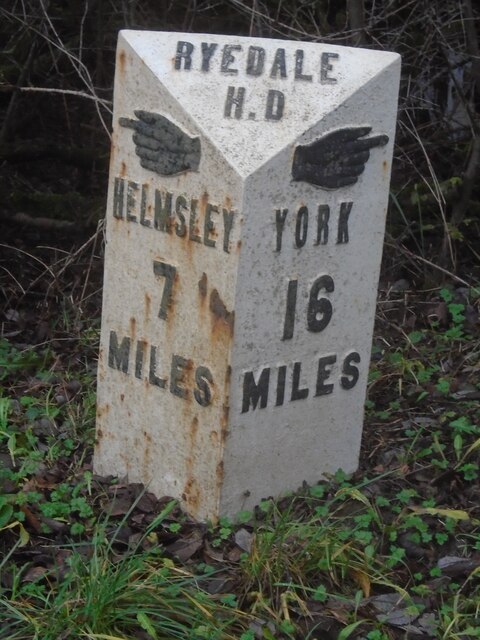
///singing.riverside.valley. Near Easingwold, North Yorkshire
Related Wikis

Brandsby-cum-Stearsby
Brandsby-cum-Stearsby is a civil parish in the Hambleton district of North Yorkshire, England, with a population of 234 (2001 census), increasing to 383...
Brandsby
Brandsby is a village in North Yorkshire, England. The village is the main constituent of the Brandsby-cum-Stearsby Civil Parish in the District of Hambleton...

Yearsley
Yearsley is a small village and civil parish in the district of Hambleton in North Yorkshire, England. The population of the civil parish was less than...
Grimstone, North Yorkshire
Grimstone or Grimston is a hamlet and civil parish in North Yorkshire, England. It lies beside the main B1363 road between York and Helmsley. Grimston...
Marton Priory
Marton Priory was a priory in North Yorkshire, England. It was founded in 1154 and was occupied by Augustinian Monks and Benedictine nuns though the nuns...

St Martin's Ampleforth
St Martin's Ampleforth (SMA) was a private school and the preparatory school for Ampleforth College, which closed in July 2020. Until 2018 it was at Gilling...
Gilling Castle
Gilling Castle is a Grade I listed country house near Gilling East, North Yorkshire, England (grid reference SE611768). == History == The castle was originally...

Crayke
Crayke is a village and civil parish in North Yorkshire, England, about 2 miles (3.2 km) east of Easingwold. == Etymology == The name Crayke is of Brittonic...
Nearby Amenities
Located within 500m of 54.147375,-1.0847623Have you been to Hermitage Plantation?
Leave your review of Hermitage Plantation below (or comments, questions and feedback).