Hewthit Plantation
Wood, Forest in Yorkshire Hambleton
England
Hewthit Plantation
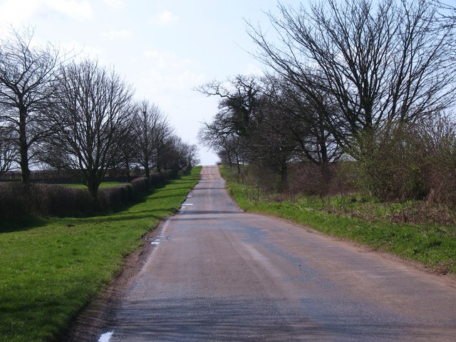
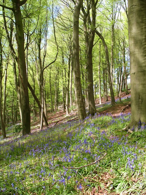
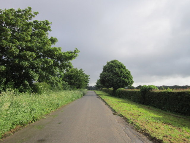
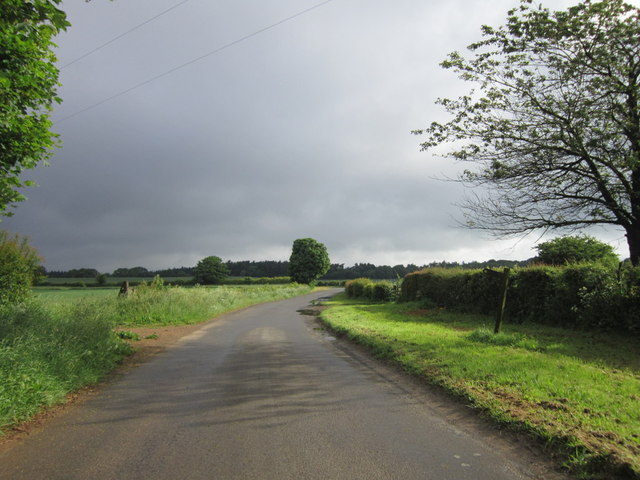
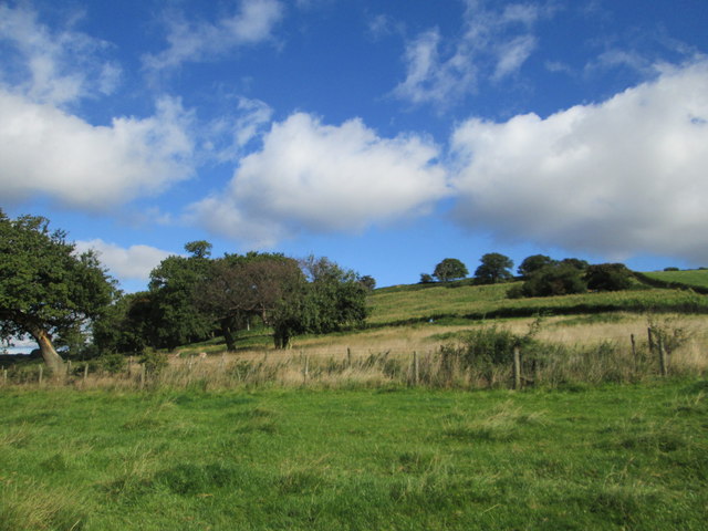
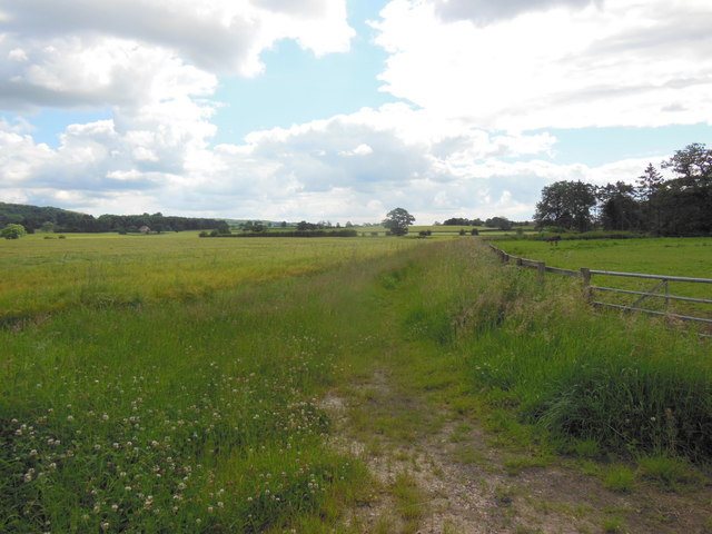
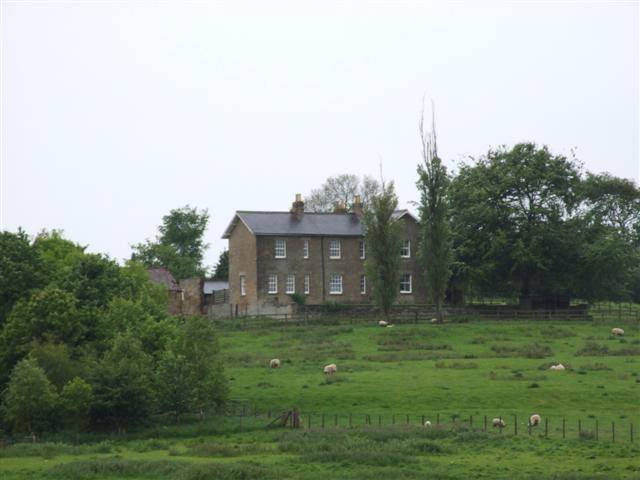
Hewthit Plantation, located in Yorkshire, England, is a picturesque woodland area renowned for its natural beauty and rich history. Nestled within the enchanting landscape of the Yorkshire Dales, this plantation covers a sprawling area of lush greenery and ancient trees, providing a tranquil environment for visitors to immerse themselves in nature.
The plantation boasts a diverse range of tree species, including oak, beech, and birch, which create a dense canopy overhead, offering shade and shelter to a variety of wildlife. The woodland floor is adorned with a vibrant carpet of wildflowers, adding a splash of color to the already captivating scenery.
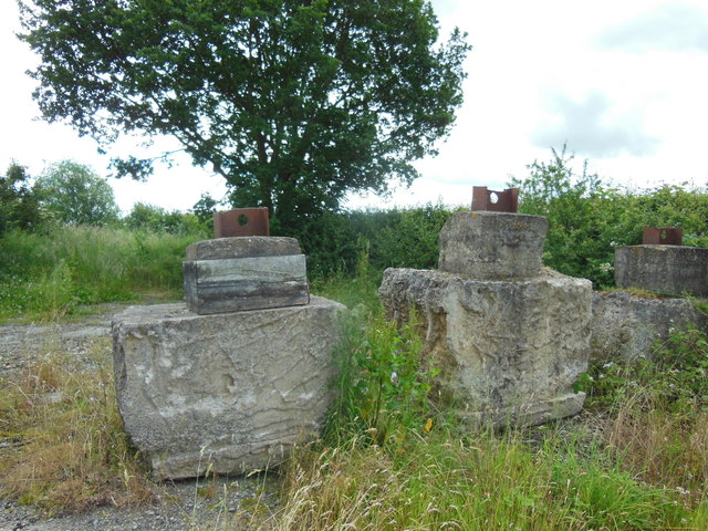
The history of Hewthit Plantation can be traced back several centuries, with evidence of its importance in the timber industry during the Victorian era. Many of the trees within the plantation bear witness to this past, displaying marks from the traditional method of coppicing, a technique used to harvest wood for various purposes.
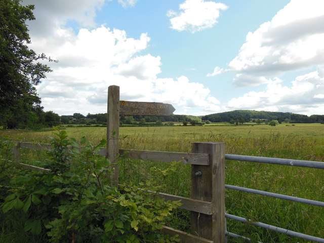
Today, the plantation is managed by the local authorities with a focus on preserving its natural heritage while providing recreational opportunities for the public. It offers a range of walking trails, allowing visitors to explore the woodland at their own pace and discover hidden gems along the way, such as a charming stream or a secluded clearing.
Hewthit Plantation is not only a haven for nature enthusiasts and those seeking solace in the great outdoors but also an important habitat for a wide array of wildlife, including deer, squirrels, and a variety of bird species. It serves as a reminder of the enduring beauty and significance of Yorkshire's woodlands.
If you have any feedback on the listing, please let us know in the comments section below.
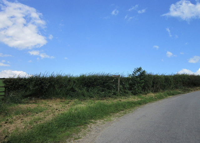
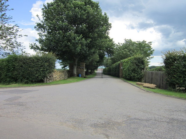
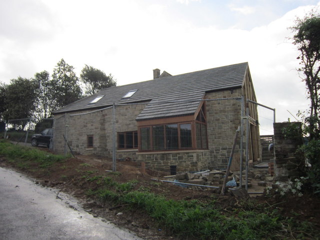
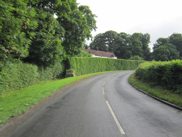
Hewthit Plantation Images
Images are sourced within 2km of 54.143039/-1.0973954 or Grid Reference SE5972. Thanks to Geograph Open Source API. All images are credited.


Hewthit Plantation is located at Grid Ref: SE5972 (Lat: 54.143039, Lng: -1.0973954)
Division: North Riding
Administrative County: North Yorkshire
District: Hambleton
Police Authority: North Yorkshire
What 3 Words
///awoke.tickles.gadgets. Near Easingwold, North Yorkshire
Related Wikis
Brandsby
Brandsby is a village in North Yorkshire, England. The village is the main constituent of the Brandsby-cum-Stearsby Civil Parish in the District of Hambleton...

Brandsby-cum-Stearsby
Brandsby-cum-Stearsby is a civil parish in the Hambleton district of North Yorkshire, England, with a population of 234 (2001 census), increasing to 383...

Yearsley
Yearsley is a small village and civil parish in the district of Hambleton in North Yorkshire, England. The population of the civil parish was less than...
Marton Priory
Marton Priory was a priory in North Yorkshire, England. It was founded in 1154 and was occupied by Augustinian Monks and Benedictine nuns though the nuns...

Crayke
Crayke is a village and civil parish in North Yorkshire, England, about 2 miles (3.2 km) east of Easingwold. == Etymology == The name Crayke is of Brittonic...

St Cuthbert's Church, Crayke
St Cuthbert's Church is in the village of Crayke, North Yorkshire, England. It is an active Anglican parish church in the deanery of Easingwold, the archdeaconry...

Crayke Castle
Crayke Castle is a Grade I listed 15th-century castle in Crayke, North Yorkshire, England. The castle consists of a restored 15th-century four-storey tower...
Grimstone, North Yorkshire
Grimstone or Grimston is a hamlet and civil parish in North Yorkshire, England. It lies beside the main B1363 road between York and Helmsley. Grimston...
Nearby Amenities
Located within 500m of 54.143039,-1.0973954Have you been to Hewthit Plantation?
Leave your review of Hewthit Plantation below (or comments, questions and feedback).