Little Hewthit Plantation
Wood, Forest in Yorkshire Hambleton
England
Little Hewthit Plantation
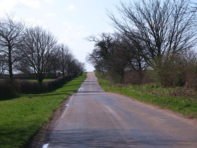
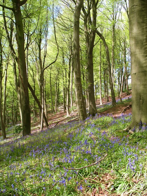
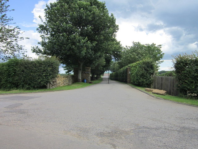
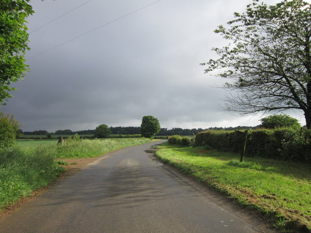
Little Hewthit Plantation is a charming woodland area located in the picturesque region of Yorkshire, England. Situated near the village of Wood, within the renowned Yorkshire Forest, it covers an approximate area of 50 acres. The plantation is known for its diverse variety of trees, flora, and fauna, making it an ideal destination for nature enthusiasts and hikers.
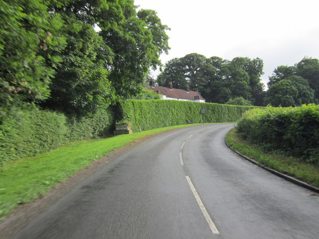
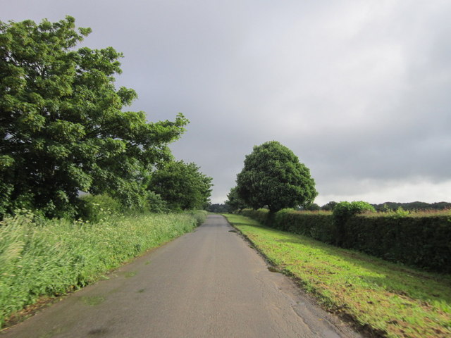
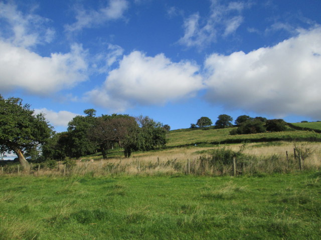
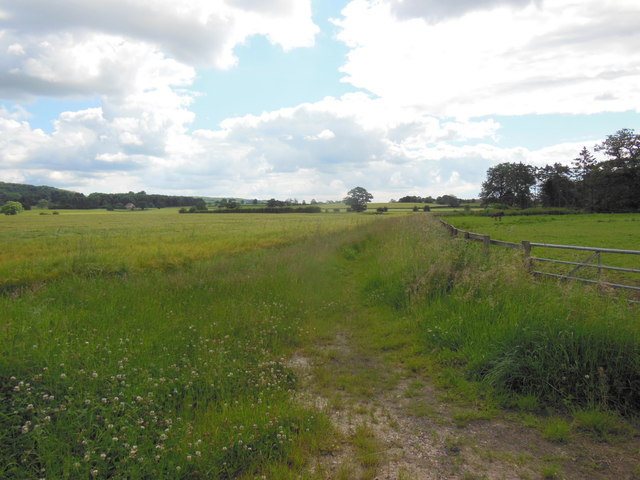
The woodland is primarily composed of deciduous trees, including oak, beech, and birch, which create a dense canopy and provide shade during the summer months. This lush environment offers a tranquil setting, where visitors can immerse themselves in the beauty of nature and enjoy long walks along the well-maintained trails.
Little Hewthit Plantation is home to a rich assortment of wildlife. It is common to spot various bird species, such as woodpeckers, thrushes, and finches, throughout the year. Additionally, the plantation provides a habitat for small mammals like squirrels and rabbits, while the occasional sighting of deer adds to the area's natural charm.
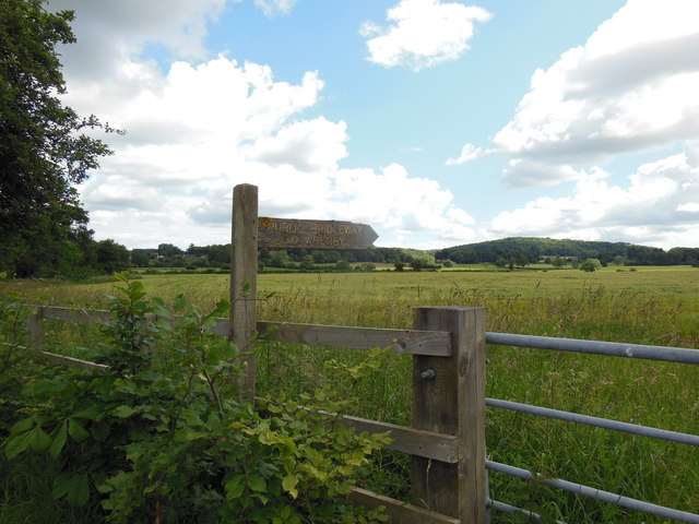
The woodland hosts several events and activities throughout the year, attracting both locals and tourists. These include guided nature walks, birdwatching sessions, and educational programs aimed at promoting environmental awareness and conservation. Moreover, the plantation is equipped with picnic areas and benches, allowing visitors to relax and appreciate the enchanting surroundings.
Overall, Little Hewthit Plantation is a delightful woodland retreat that offers a serene escape from the bustling city life. Its remarkable natural beauty, diverse wildlife, and engaging activities make it a must-visit destination for anyone seeking solace in nature's embrace.
If you have any feedback on the listing, please let us know in the comments section below.
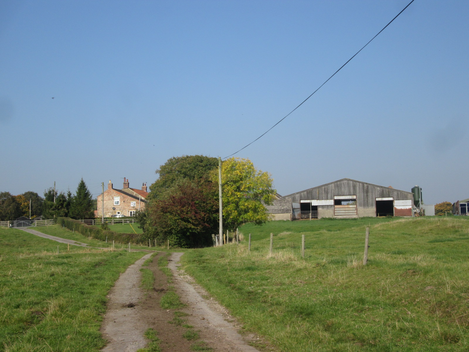
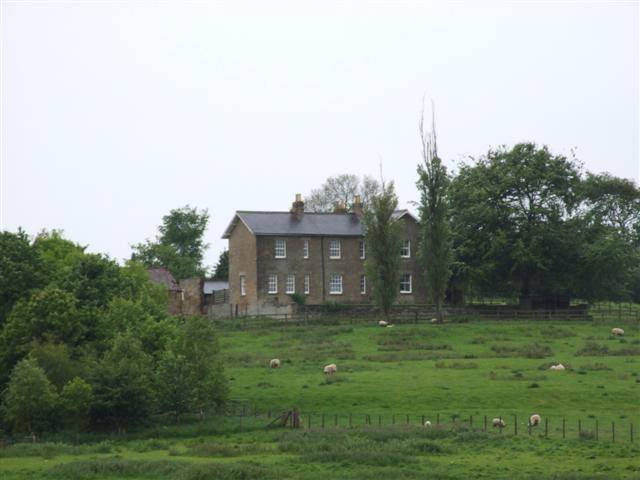
Little Hewthit Plantation Images
Images are sourced within 2km of 54.14217/-1.095363 or Grid Reference SE5972. Thanks to Geograph Open Source API. All images are credited.


Little Hewthit Plantation is located at Grid Ref: SE5972 (Lat: 54.14217, Lng: -1.095363)
Division: North Riding
Administrative County: North Yorkshire
District: Hambleton
Police Authority: North Yorkshire
What 3 Words
///misty.firebird.tigers. Near Easingwold, North Yorkshire
Related Wikis
Brandsby
Brandsby is a village in North Yorkshire, England. The village is the main constituent of the Brandsby-cum-Stearsby Civil Parish in the District of Hambleton...

Brandsby-cum-Stearsby
Brandsby-cum-Stearsby is a civil parish in the Hambleton district of North Yorkshire, England, with a population of 234 (2001 census), increasing to 383...

Yearsley
Yearsley is a small village and civil parish in the district of Hambleton in North Yorkshire, England. The population of the civil parish was less than...
Marton Priory
Marton Priory was a priory in North Yorkshire, England. It was founded in 1154 and was occupied by Augustinian Monks and Benedictine nuns though the nuns...

Crayke
Crayke is a village and civil parish in North Yorkshire, England, about 2 miles (3.2 km) east of Easingwold. == Etymology == The name Crayke is of Brittonic...

St Cuthbert's Church, Crayke
St Cuthbert's Church is in the village of Crayke, North Yorkshire, England. It is an active Anglican parish church in the deanery of Easingwold, the archdeaconry...

Crayke Castle
Crayke Castle is a Grade I listed 15th-century castle in Crayke, North Yorkshire, England. The castle consists of a restored 15th-century four-storey tower...
Grimstone, North Yorkshire
Grimstone or Grimston is a hamlet and civil parish in North Yorkshire, England. It lies beside the main B1363 road between York and Helmsley. Grimston...
Nearby Amenities
Located within 500m of 54.14217,-1.095363Have you been to Little Hewthit Plantation?
Leave your review of Little Hewthit Plantation below (or comments, questions and feedback).