Town Street Plantation
Wood, Forest in Yorkshire Hambleton
England
Town Street Plantation
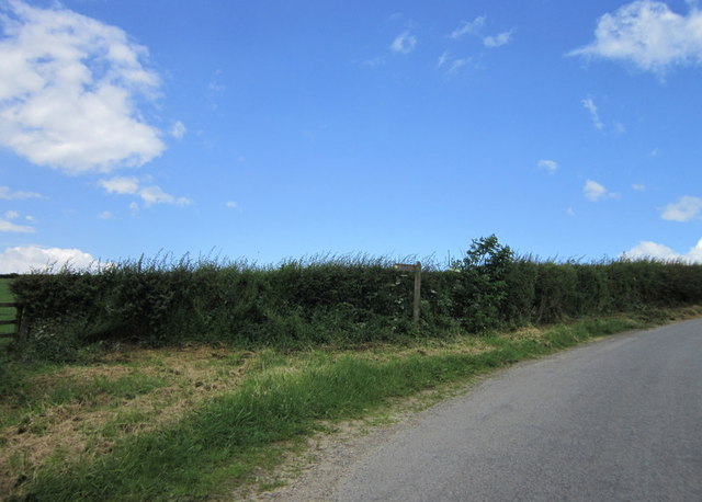
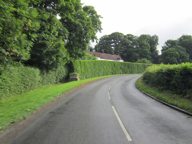
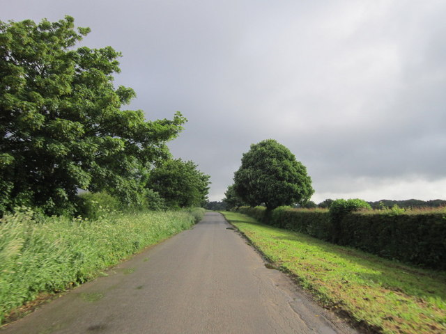
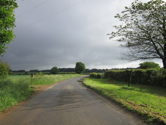
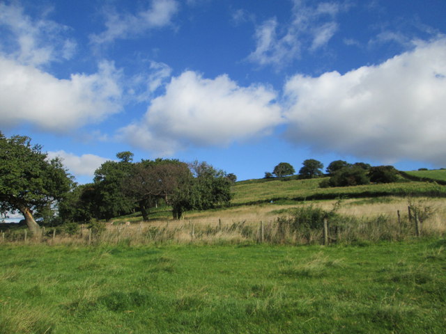
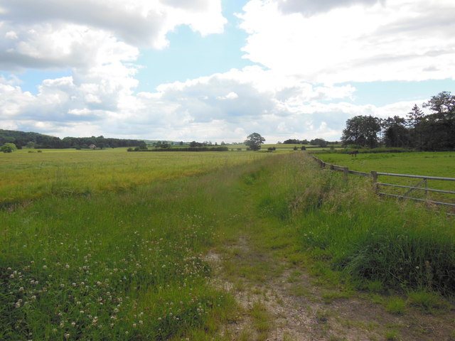
Town Street Plantation is a picturesque woodland located in Yorkshire, England. The plantation is nestled in the heart of the county, surrounded by beautiful countryside and rolling hills. Spanning over a vast area, the woodland is a haven for nature enthusiasts and a popular destination for locals and tourists alike.
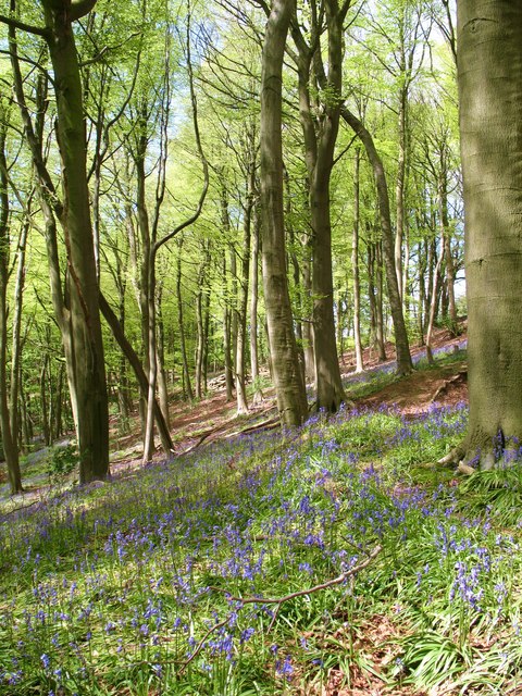
The main feature of Town Street Plantation is its diverse range of trees and plant species. From towering oak and beech trees to delicate wildflowers, the plantation offers a stunning display of natural beauty throughout the year. The woodland also provides a habitat for a wide variety of wildlife, including deer, squirrels, and numerous bird species.
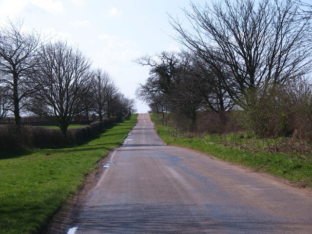
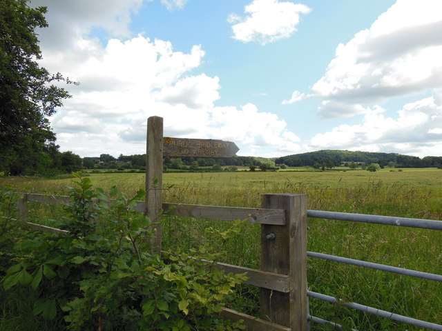
Visitors to Town Street Plantation can enjoy a range of activities. The woodland is crisscrossed by several well-maintained walking trails, allowing visitors to explore the serene surroundings and take in the tranquil atmosphere. There are also designated picnic areas, providing the perfect spot to relax and enjoy a meal amidst the beauty of nature.
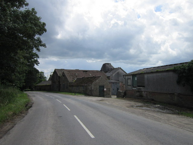
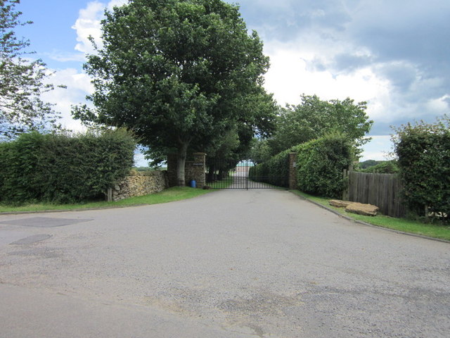
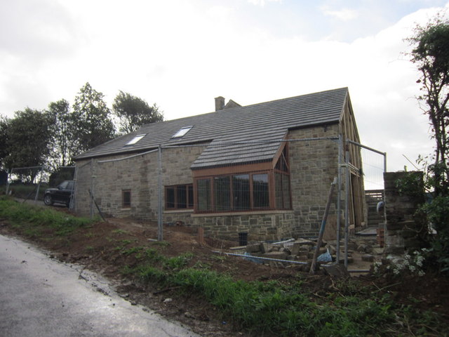
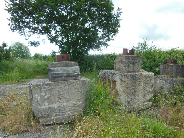
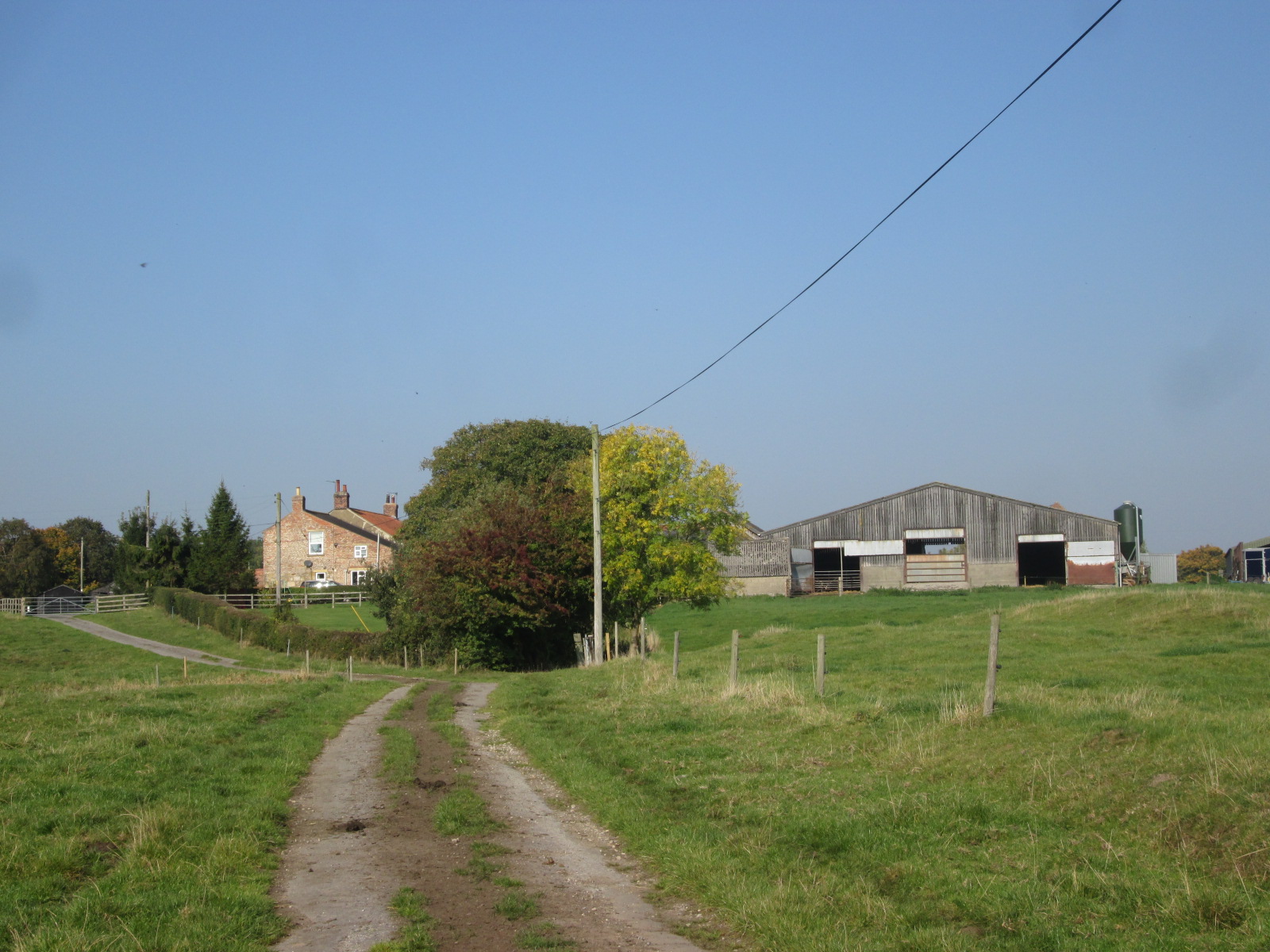
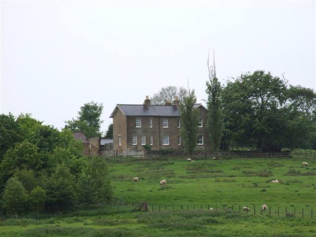
In addition to its natural attractions, Town Street Plantation boasts a rich history. The woodland has been a part of the local community for centuries, and remnants of its past can still be found within its boundaries. Historical landmarks, such as ancient stone walls and abandoned farm buildings, add a touch of intrigue to the woodland, inviting visitors to delve into its fascinating past.
Overall, Town Street Plantation is a cherished natural gem in Yorkshire. With its stunning flora and fauna, picturesque walking trails, and intriguing historical features, it offers a perfect retreat for nature lovers and history enthusiasts alike.
If you have any feedback on the listing, please let us know in the comments section below.
Town Street Plantation Images
Images are sourced within 2km of 54.141587/-1.0919315 or Grid Reference SE5972. Thanks to Geograph Open Source API. All images are credited.


Town Street Plantation is located at Grid Ref: SE5972 (Lat: 54.141587, Lng: -1.0919315)
Division: North Riding
Administrative County: North Yorkshire
District: Hambleton
Police Authority: North Yorkshire
What 3 Words
///hips.twinkling.compacts. Near Easingwold, North Yorkshire
Related Wikis

Brandsby-cum-Stearsby
Brandsby-cum-Stearsby is a civil parish in the Hambleton district of North Yorkshire, England, with a population of 234 (2001 census), increasing to 383...
Brandsby
Brandsby is a village in North Yorkshire, England. The village is the main constituent of the Brandsby-cum-Stearsby Civil Parish in the District of Hambleton...

Yearsley
Yearsley is a small village and civil parish in the district of Hambleton in North Yorkshire, England. The population of the civil parish was less than...
Marton Priory
Marton Priory was a priory in North Yorkshire, England. It was founded in 1154 and was occupied by Augustinian Monks and Benedictine nuns though the nuns...

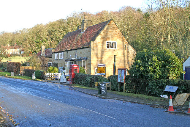
Crayke
Crayke is a village and civil parish in North Yorkshire, England, about 2 miles (3.2 km) east of Easingwold. == Etymology == The name Crayke is of Brittonic...

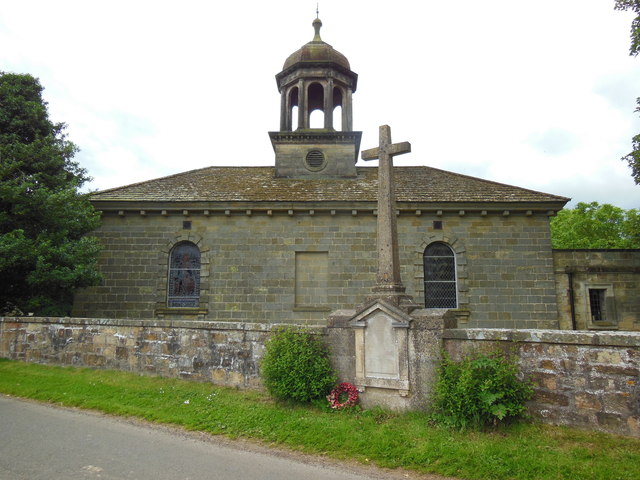
St Cuthbert's Church, Crayke
St Cuthbert's Church is in the village of Crayke, North Yorkshire, England. It is an active Anglican parish church in the deanery of Easingwold, the archdeaconry...

Crayke Castle
Crayke Castle is a Grade I listed 15th-century castle in Crayke, North Yorkshire, England. The castle consists of a restored 15th-century four-storey tower...
Grimstone, North Yorkshire
Grimstone or Grimston is a hamlet and civil parish in North Yorkshire, England. It lies beside the main B1363 road between York and Helmsley. Grimston...
Nearby Amenities
Located within 500m of 54.141587,-1.0919315Have you been to Town Street Plantation?
Leave your review of Town Street Plantation below (or comments, questions and feedback).