Ainsloe Spinney
Wood, Forest in Leicestershire Harborough
England
Ainsloe Spinney
Ainsloe Spinney is a picturesque woodland located in Leicestershire, England. Situated near the village of Ainsloe, the spinney covers an area of approximately 20 acres and is known for its natural beauty and diverse flora and fauna.
The spinney is primarily composed of deciduous trees such as oak, ash, and birch, which create a dense canopy providing shade and shelter for many species of wildlife. The forest floor is covered with a rich carpet of wildflowers, including bluebells, primroses, and wood anemones, which bloom in abundance during the spring months.
Ainsloe Spinney is a haven for birdwatchers, as it is home to a variety of bird species such as great tits, robins, and blackbirds. The woodland's peaceful atmosphere and secluded location make it an ideal spot for bird nesting and breeding.
The spinney is also home to a diverse range of mammals, including foxes, badgers, and rabbits. Visitors may also catch a glimpse of elusive creatures such as stoats and weasels, which are known to inhabit the area.
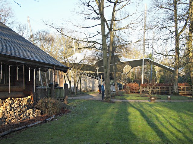
The woodland is crisscrossed by a network of footpaths, allowing visitors to explore its beauty and experience its tranquility. Ainsloe Spinney is a popular destination for nature lovers, walkers, and photographers, who come to enjoy the natural surroundings and capture its beauty.
Overall, Ainsloe Spinney in Leicestershire offers a peaceful retreat from the hustle and bustle of daily life, providing a haven for wildlife and a place for visitors to connect with nature.
If you have any feedback on the listing, please let us know in the comments section below.
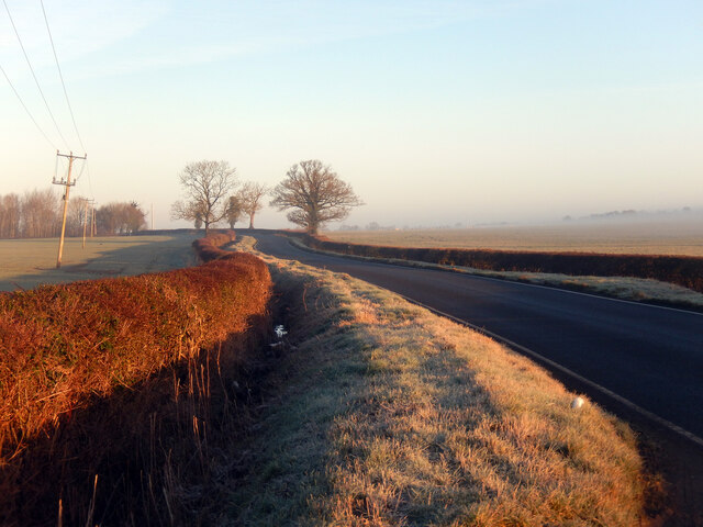
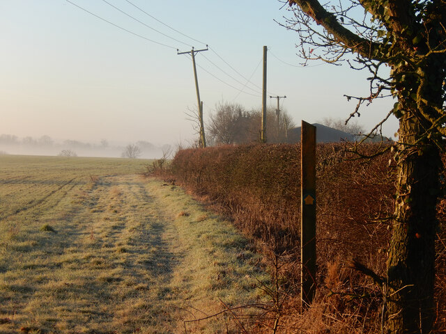
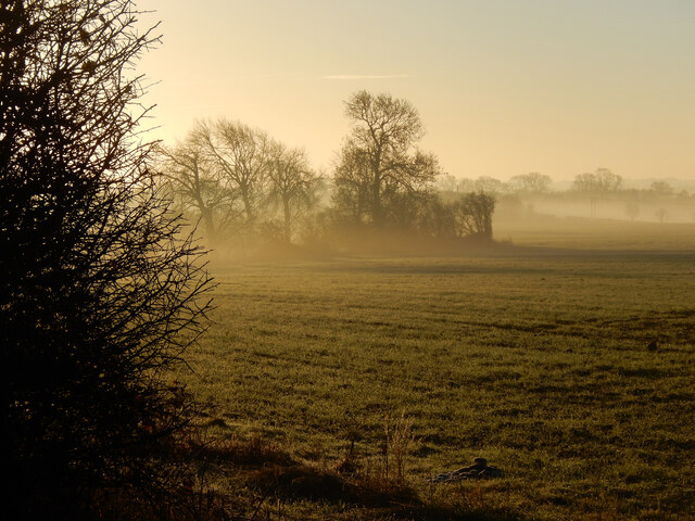
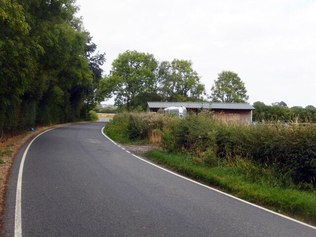
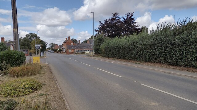
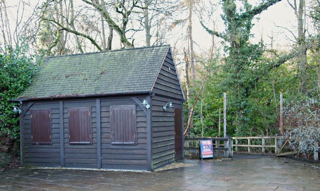
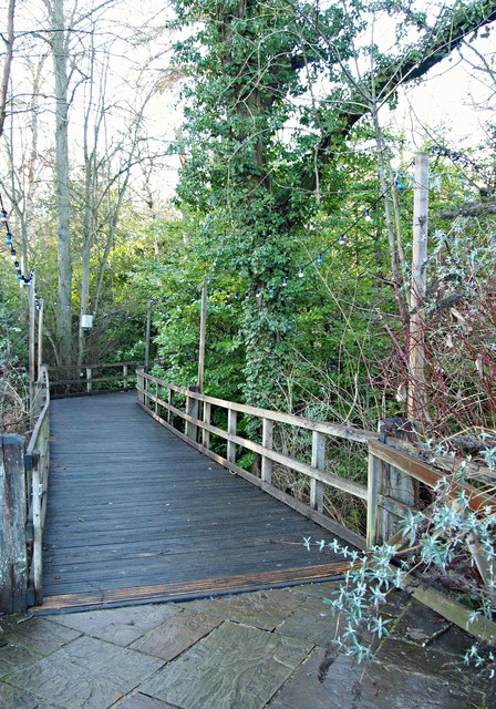
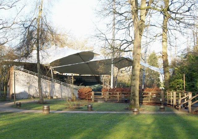
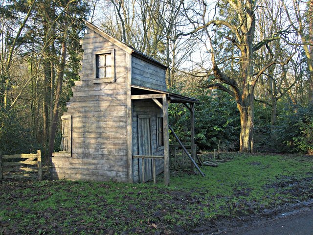
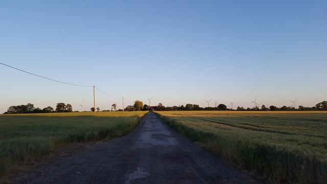
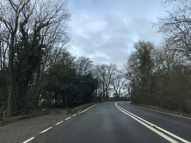
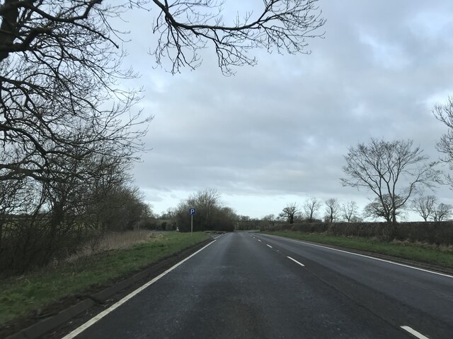
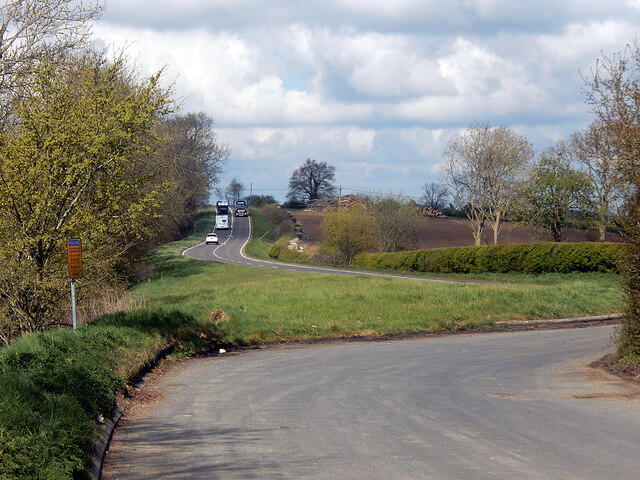
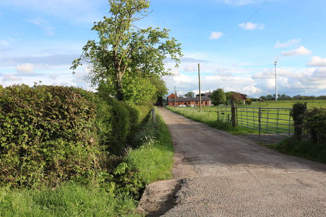
Ainsloe Spinney Images
Images are sourced within 2km of 52.446325/-1.121589 or Grid Reference SP5983. Thanks to Geograph Open Source API. All images are credited.
Ainsloe Spinney is located at Grid Ref: SP5983 (Lat: 52.446325, Lng: -1.121589)
Administrative County: Leicestershire
District: Harborough
Police Authority: Leicestershire
What 3 Words
///apron.shippers.traps. Near Husbands Bosworth, Leicestershire
Nearby Locations
Related Wikis

Kilworth House
Kilworth House is a four star country house hotel, located west of North Kilworth, Leicestershire. == History == This grade II listed Italianate country...

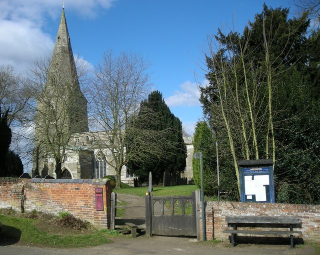
North Kilworth
North Kilworth is a village and civil parish in the Harborough district, in south Leicestershire, England, north of South Kilworth. The population of the...
South Kilworth
South Kilworth is a village and civil parish in the southern part of Leicestershire, England, south of North Kilworth. The parish has a population of 430...

North Kilworth Nature Reserve
North Kilworth Nature Reserve is a 2.0 hectares (4.9 acres) Local Nature Reserve in North Kilworth Leicestershire. It is owned and managed by Harborough...
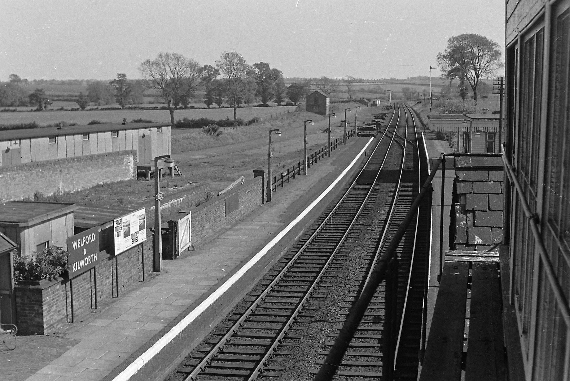
Welford and Kilworth railway station
Welford and Kilworth railway station was a railway station serving Welford and North and South Kilworth in the English county of Leicestershire. It was...

Stanford Reservoir
Stanford Reservoir is a drinking water reservoir on the River Avon, England. It lies on the county boundary between Leicestershire and Northamptonshire...
Misterton with Walcote
Misterton with Walcote, formerly just Misterton is a civil parish in the English county of Leicestershire. The population of the civil parish at the 2011...

Walcote, Leicestershire
Walcote is a village in the English county of Leicestershire. It is on the A4304 road some two miles east of the town of Lutterworth and a mile east of...
Nearby Amenities
Located within 500m of 52.446325,-1.121589Have you been to Ainsloe Spinney?
Leave your review of Ainsloe Spinney below (or comments, questions and feedback).