The Belt
Wood, Forest in Leicestershire Harborough
England
The Belt
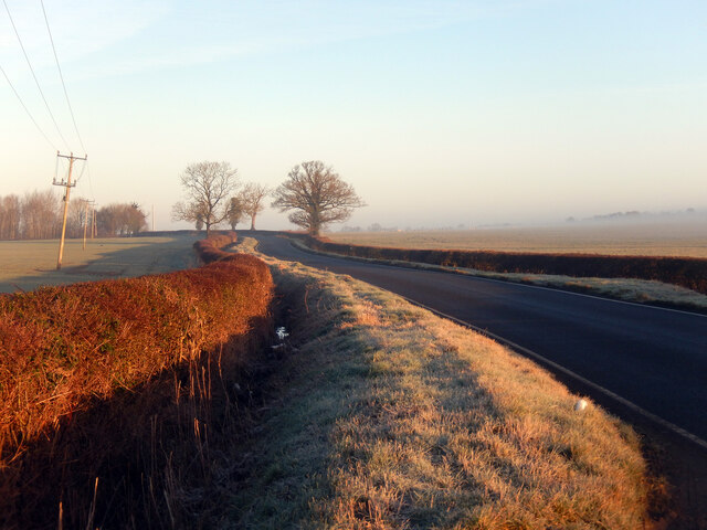
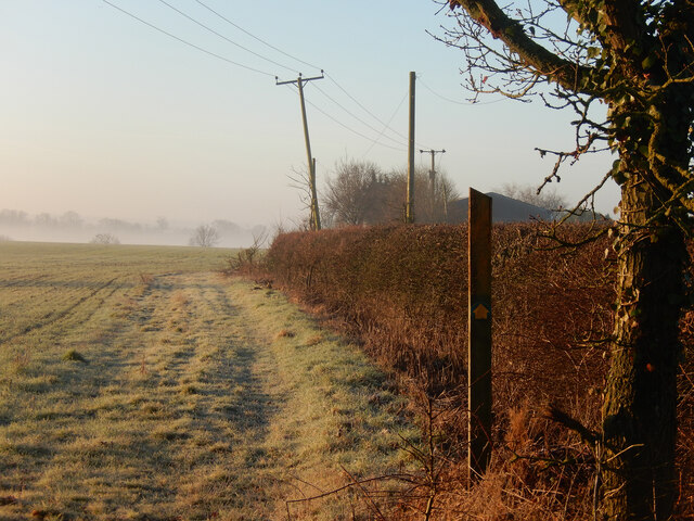
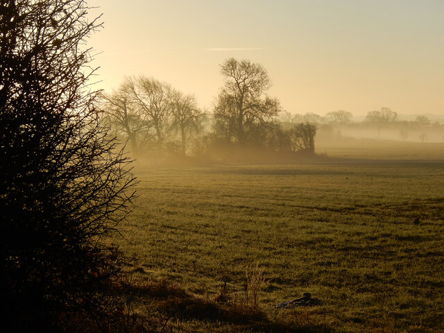
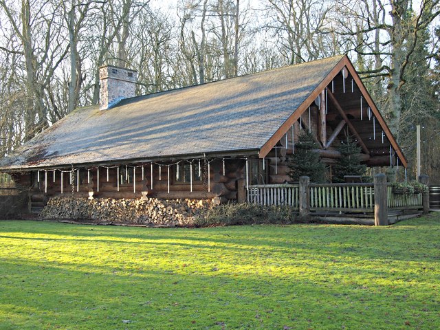
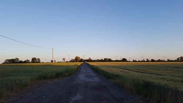
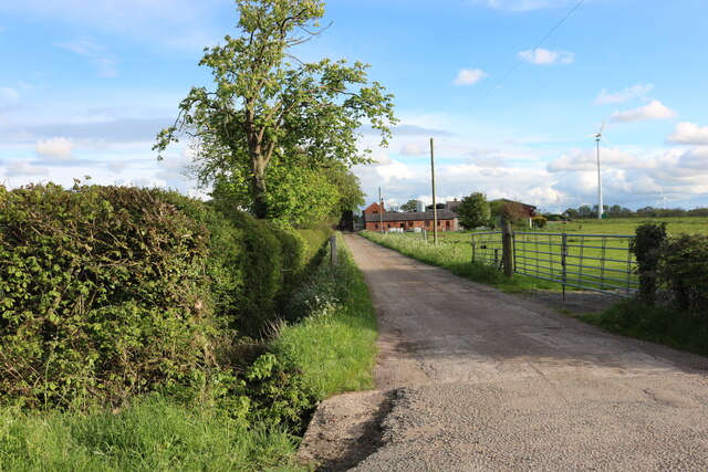
The Belt, located in Leicestershire, is a dense woodland area known for its natural beauty and recreational opportunities. Spanning approximately 400 acres, this forested area is a haven for outdoor enthusiasts and nature lovers alike.
The Belt is characterized by its lush greenery, with a variety of tree species including oak, birch, and beech creating a rich and diverse ecosystem. The forest floor is carpeted with vibrant wildflowers, adding to the picturesque scenery. Walking trails wind through the woods, allowing visitors to explore the area at their own pace.
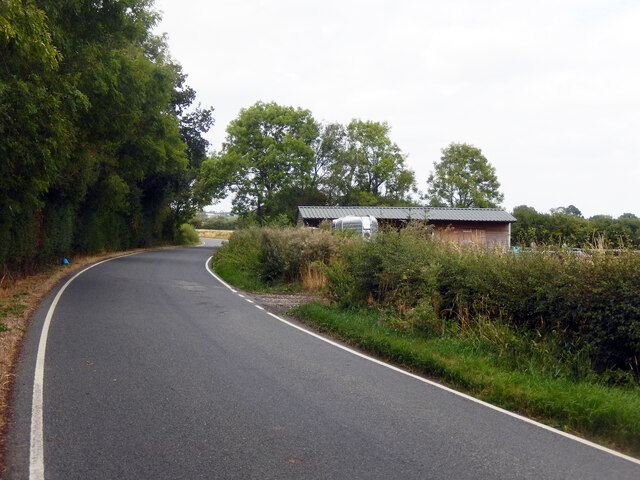
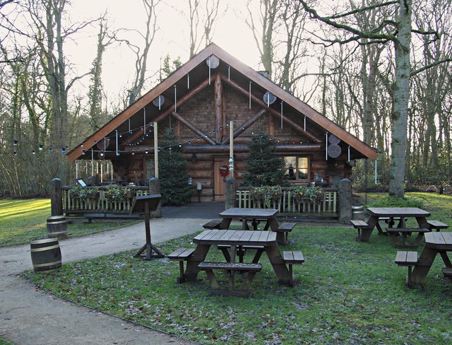
The Belt offers a range of activities for visitors to enjoy. Hiking and walking are popular pastimes, with well-maintained paths providing easy access to different parts of the forest. Wildlife spotting is also a common activity, as the area is home to a variety of animals such as deer, rabbits, and a wide range of bird species.
For those seeking a more adventurous experience, The Belt also boasts mountain biking trails that cater to different skill levels. The undulating terrain and natural obstacles provide an exhilarating ride for enthusiasts. Additionally, the forest offers ample space for picnics and camping, allowing visitors to immerse themselves in the peaceful surroundings.
The Belt is easily accessible and conveniently located near several towns and villages, making it a popular destination for both local residents and tourists. Its natural charm and recreational opportunities make it an ideal place to escape the hustle and bustle of everyday life and reconnect with nature.
If you have any feedback on the listing, please let us know in the comments section below.
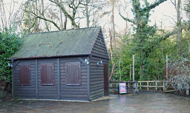
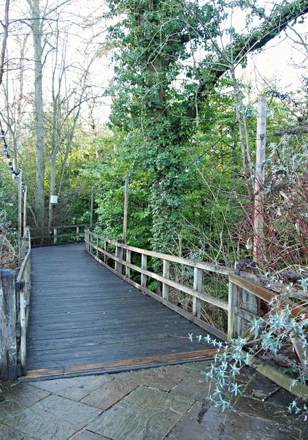
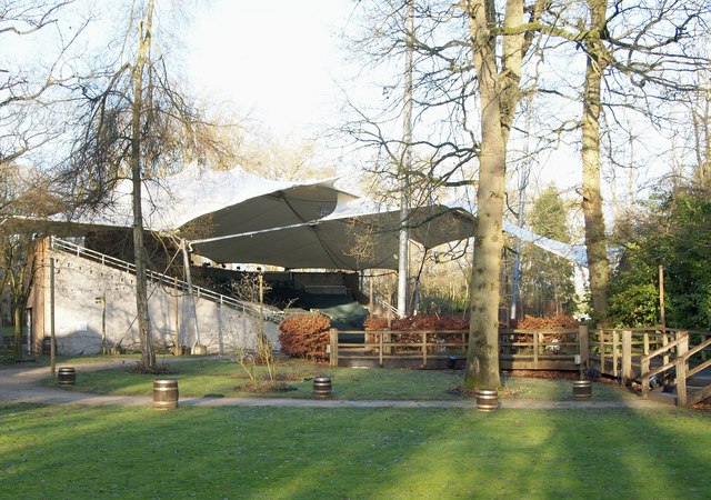
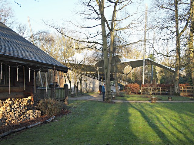
The Belt Images
Images are sourced within 2km of 52.449606/-1.1252024 or Grid Reference SP5983. Thanks to Geograph Open Source API. All images are credited.

The Belt is located at Grid Ref: SP5983 (Lat: 52.449606, Lng: -1.1252024)
Administrative County: Leicestershire
District: Harborough
Police Authority: Leicestershire
What 3 Words
///grabs.sheep.buckling. Near Husbands Bosworth, Leicestershire
Nearby Locations
Related Wikis

Kilworth House
Kilworth House is a four star country house hotel, located west of North Kilworth, Leicestershire. == History == This grade II listed Italianate country...

North Kilworth
North Kilworth is a village and civil parish in the Harborough district, in south Leicestershire, England, north of South Kilworth. The population of the...

North Kilworth Nature Reserve
North Kilworth Nature Reserve is a 2.0 hectares (4.9 acres) Local Nature Reserve in North Kilworth Leicestershire. It is owned and managed by Harborough...
South Kilworth
South Kilworth is a village and civil parish in the southern part of Leicestershire, England, south of North Kilworth. The parish has a population of 430...
Misterton with Walcote
Misterton with Walcote, formerly just Misterton is a civil parish in the English county of Leicestershire. The population of the civil parish at the 2011...

Walcote, Leicestershire
Walcote is a village in the English county of Leicestershire. It is on the A4304 road some two miles east of the town of Lutterworth and a mile east of...

Kimcote and Walton
Kimcote and Walton is a civil parish situated in the Harborough district, in Leicestershire, England, approximately 4 miles north east of Lutterworth....
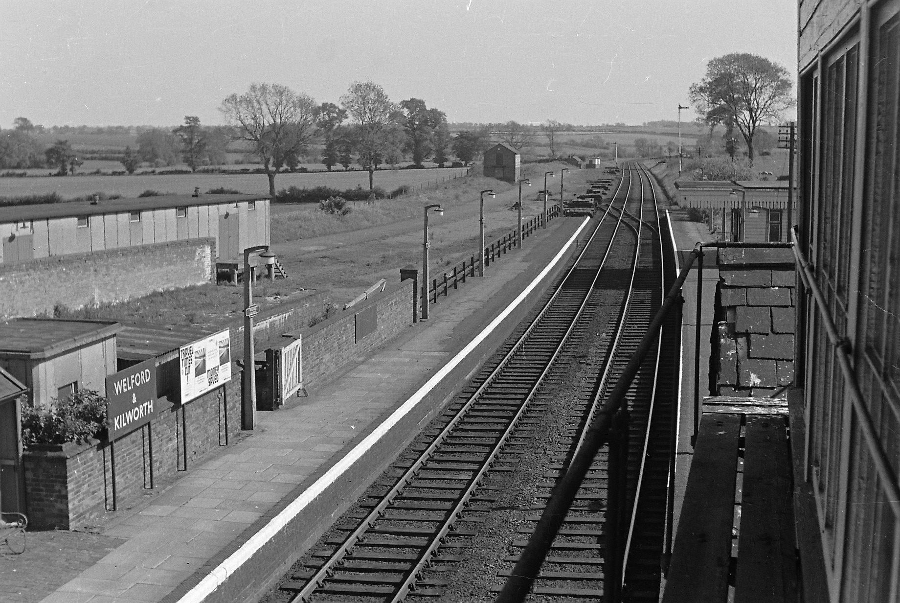
Welford and Kilworth railway station
Welford and Kilworth railway station was a railway station serving Welford and North and South Kilworth in the English county of Leicestershire. It was...
Nearby Amenities
Located within 500m of 52.449606,-1.1252024Have you been to The Belt?
Leave your review of The Belt below (or comments, questions and feedback).