Dummer Clump
Wood, Forest in Hampshire Basingstoke and Deane
England
Dummer Clump

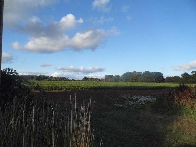
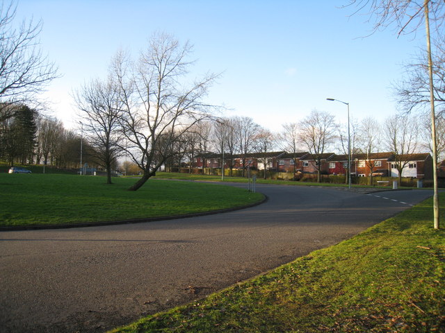
Dummer Clump, located in Hampshire, England, is a picturesque woodland area renowned for its natural beauty and rich biodiversity. Covering an area of approximately 200 acres, this ancient forest is a haven for nature enthusiasts and wildlife lovers alike.
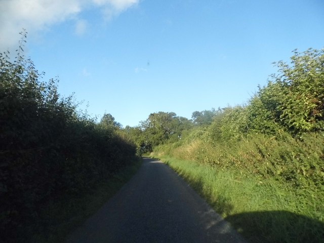
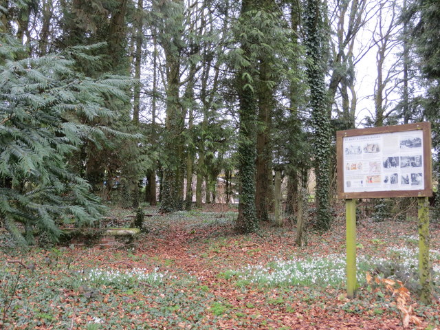
The woodland is characterized by its dense canopy of mature broadleaf trees, predominantly oak and beech, which create a serene and tranquil atmosphere. The forest floor is adorned with a diverse array of plant species, including bluebells, wood sorrel, and wild garlic, forming a stunning carpet of color during the spring months.
Dummer Clump is home to a variety of wildlife, making it a popular spot for birdwatching and nature photography. Visitors can often spot a wide range of bird species, including woodpeckers, owls, and various songbirds. Additionally, the forest provides a habitat for mammals such as deer, foxes, and squirrels, as well as numerous species of insects, amphibians, and reptiles.
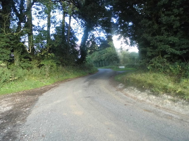
This woodland offers a range of walking trails and paths, allowing visitors to explore its natural wonders at their own pace. The forest is well-maintained and offers amenities such as picnic areas and benches, providing a perfect opportunity for visitors to enjoy a leisurely day surrounded by nature.
Dummer Clump is not only a place of natural beauty but also holds historical significance. The woodland has ancient origins, with evidence of human settlement dating back to the Iron Age. Archaeological remains, including burial mounds and ancient trackways, can still be found within the forest, offering a glimpse into its rich past.
Overall, Dummer Clump in Hampshire is a captivating woodland that showcases the beauty of nature and offers a peaceful escape for all who visit.
If you have any feedback on the listing, please let us know in the comments section below.
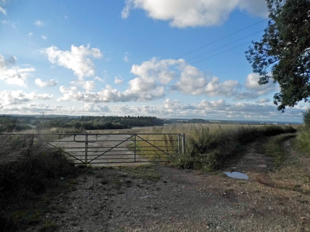
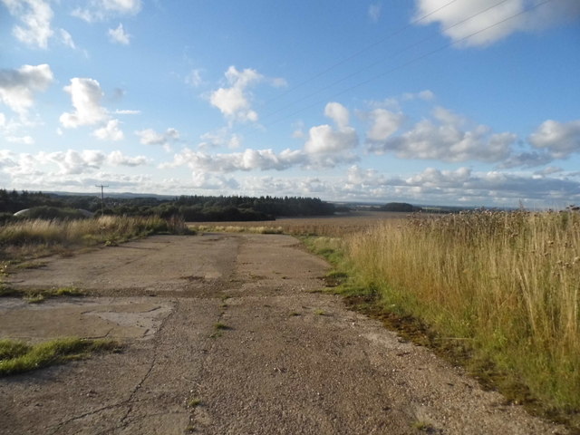
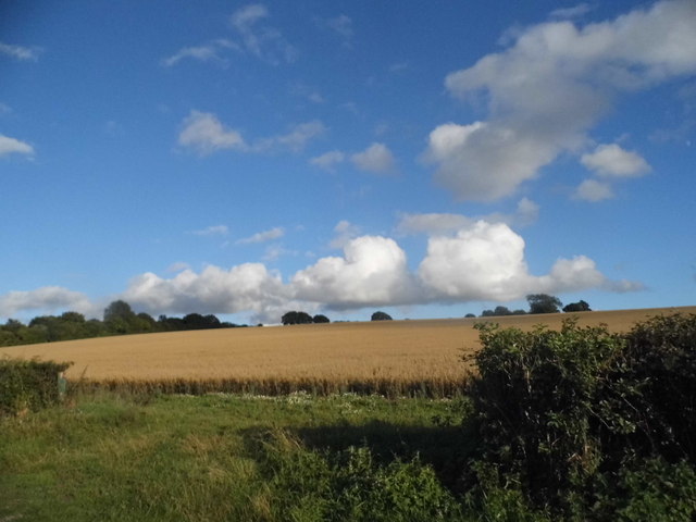
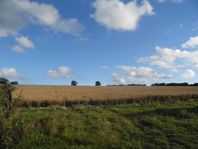
Dummer Clump Images
Images are sourced within 2km of 51.211036/-1.1452037 or Grid Reference SU5946. Thanks to Geograph Open Source API. All images are credited.


Dummer Clump is located at Grid Ref: SU5946 (Lat: 51.211036, Lng: -1.1452037)
Administrative County: Hampshire
District: Basingstoke and Deane
Police Authority: Hampshire
What 3 Words
///agreeable.choirs.timing. Near Basingstoke, Hampshire
Nearby Locations
Related Wikis
Dummer, Hampshire
Dummer is a parish and village in Hampshire, England. It is 6 miles south-west of Basingstoke and near Junction 7 on the M3 motorway. In the 2001 census...
Broadmere
Broadmere is a hamlet in Hampshire, England. The hamlet comes under the parish of Farleigh Wallop and its nearest town is Basingstoke, about 2 miles away...

Farleigh Hill
Farleigh Hill is one of the highest points in the county of Hampshire, England. It is part of the Hampshire Downs and reaches a height of 208 metres (682...

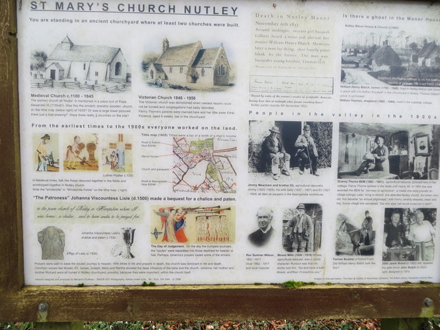
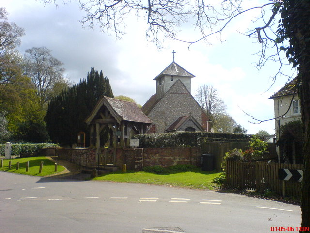
Nutley, Hampshire
Nutley is a small village and civil parish in the Basingstoke and Deane district of Hampshire, England. It is located approximately 5.6 miles (9.0 km)...
Farleigh Wallop
Farleigh Wallop is a small village and civil parish in Hampshire, England, approximately 4.7 miles (7.6 km) south of Basingstoke on the slopes of Farleigh...
Axford, Hampshire
Axford is a hamlet in the Basingstoke and Deane district of Hampshire, England. The settlement is within the civil parish of Nutley, and is located approximately...
Hatch Warren
Hatch Warren is a district and ward of Basingstoke in Hampshire, England. The population of the appropriate ward called Hatch Warren and Beggarwood was...
Beggarwood
Beggarwood is a housing estate of Basingstoke, in the English county of Hampshire. The estate is located approximately 2.5 miles (4.0 km) south-west of...
Nearby Amenities
Located within 500m of 51.211036,-1.1452037Have you been to Dummer Clump?
Leave your review of Dummer Clump below (or comments, questions and feedback).