Ashby Folville
Settlement in Leicestershire Melton
England
Ashby Folville
Ashby Folville is a small village located in the county of Leicestershire, England. Situated approximately 10 miles southeast of Melton Mowbray, it is nestled in the picturesque countryside of the East Midlands.
The village is known for its quaint and peaceful ambiance, making it an ideal destination for those seeking a tranquil retreat. With a population of just over 100 residents, Ashby Folville retains a close-knit community feel and offers a sense of traditional rural living.
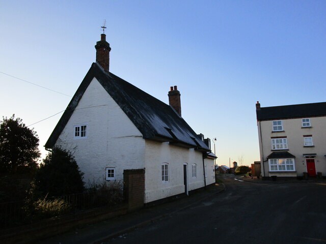
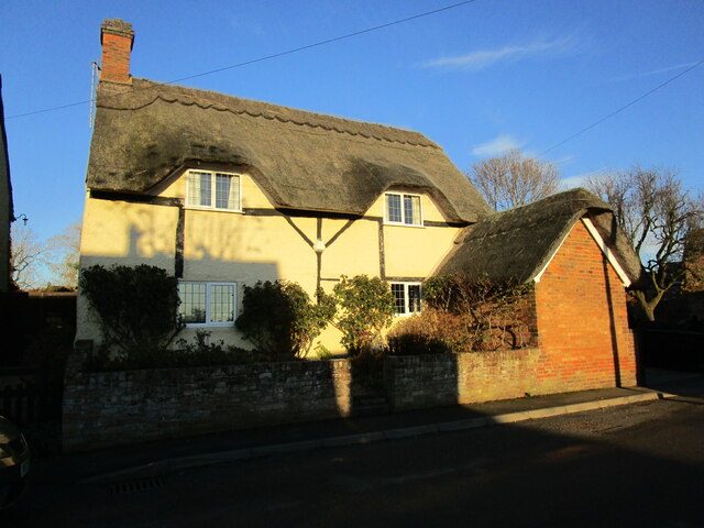
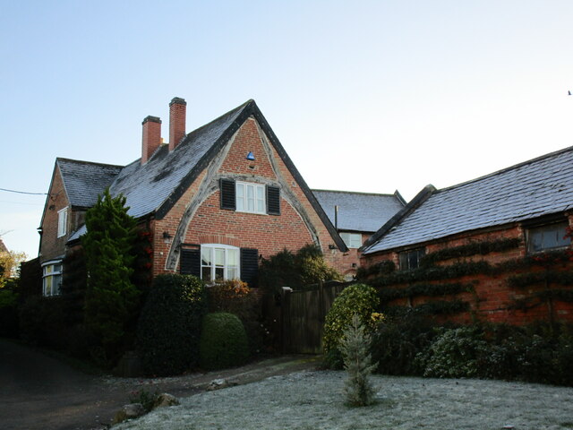
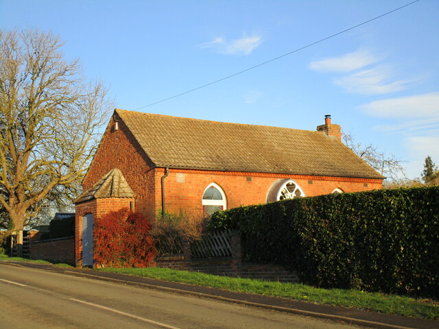
One of the notable features of Ashby Folville is its charming architecture. The village is home to several historic buildings, including a beautiful medieval church dedicated to St. Mary. This ancient place of worship dates back to the 13th century and boasts stunning architectural details, making it a popular attraction for history enthusiasts and architecture buffs.
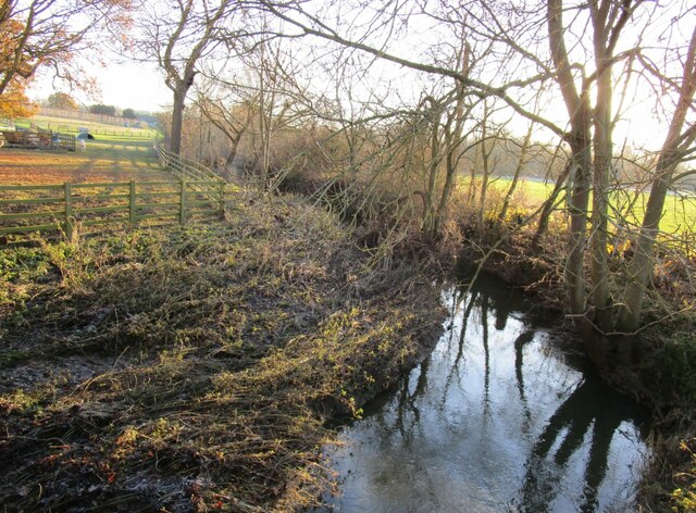
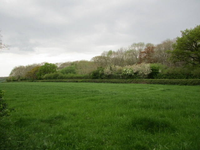
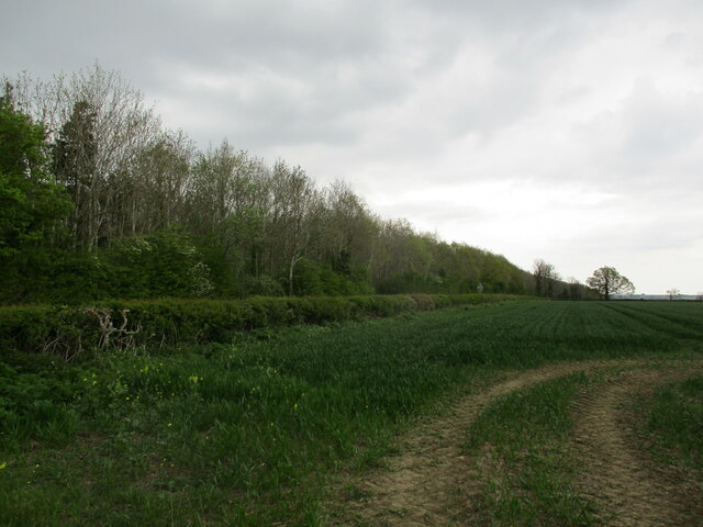
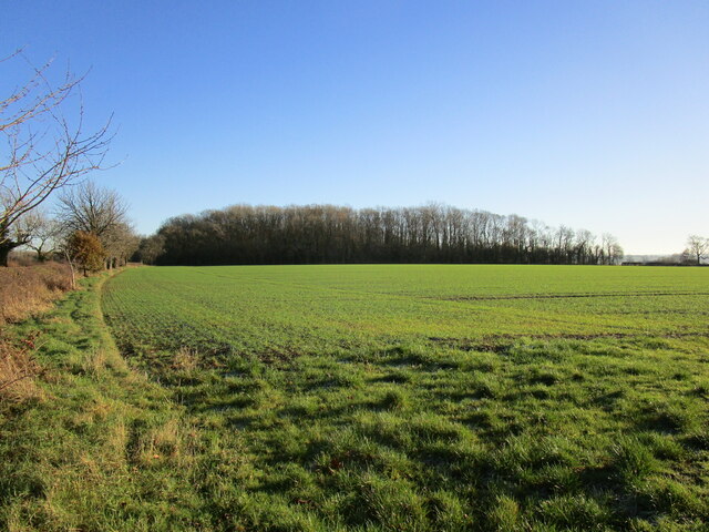
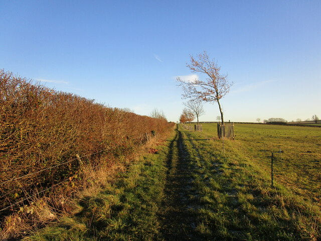
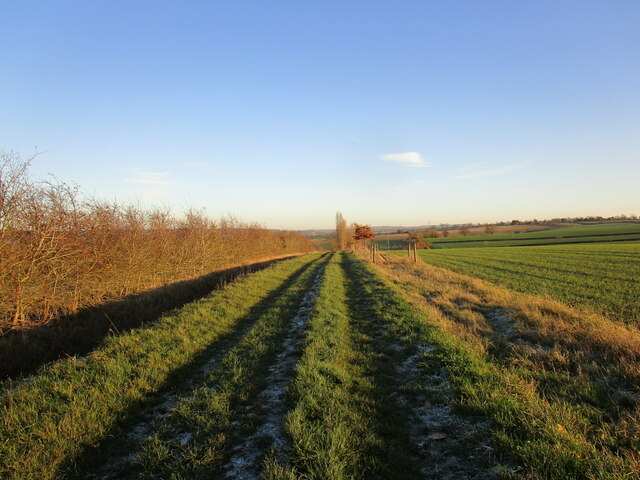
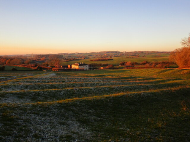
Surrounded by rolling hills and lush green fields, Ashby Folville is also a haven for nature lovers. The village is situated in close proximity to several walking and cycling trails, offering scenic routes for outdoor enthusiasts to explore the stunning Leicestershire countryside.
Although small, Ashby Folville is well-connected to neighboring towns and cities. It is located just a short drive away from Melton Mowbray, known for its famous pork pies and Stilton cheese. Leicester, a vibrant city with a rich history, is also within easy reach.
In summary, Ashby Folville is a tranquil and picturesque village in Leicestershire, offering a peaceful escape from the hustle and bustle of city life. With its historic charm and stunning natural surroundings, it is a place that captures the essence of rural England.
If you have any feedback on the listing, please let us know in the comments section below.
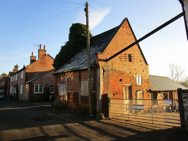
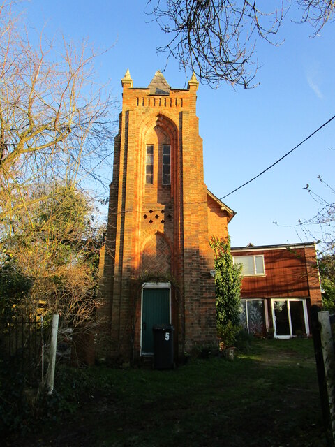
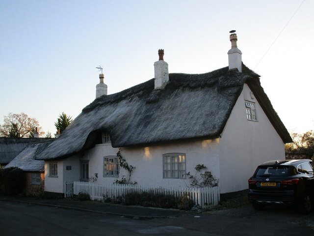
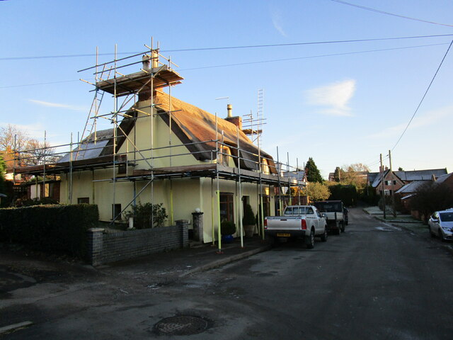
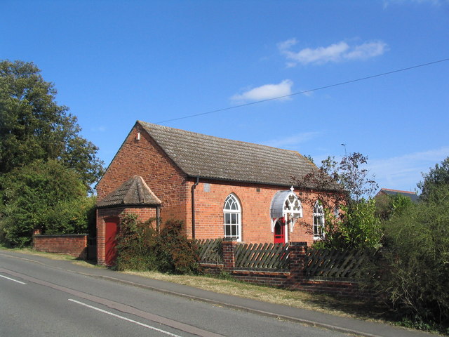
Ashby Folville Images
Images are sourced within 2km of 52.702722/-0.952165 or Grid Reference SK7012. Thanks to Geograph Open Source API. All images are credited.


Ashby Folville is located at Grid Ref: SK7012 (Lat: 52.702722, Lng: -0.952165)
Administrative County: Leicestershire
District: Melton
Police Authority: Leicestershire
What 3 Words
///cracker.ozone.robes. Near Queniborough, Leicestershire
Nearby Locations
Related Wikis

St Mary's Church, Ashby Folville
St Mary's Church is a church in Ashby Folville, Leicestershire. It is a Grade I listed building. == History == The church was founded in 1220 by Maud Bassett...
Ashby Folville
Ashby Folville is a village and former civil parish, now in the parish of Gaddesby, in the Melton district of Leicestershire, England, south west of Melton...

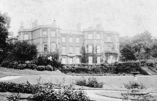
Ashby Folville Manor
Ashby Folville Manor is a late 19th-century house in Neo-Tudor style in the village of Ashby Folville, Leicestershire. The house was substantially rebuilt...
Barsby
Barsby is a village and former civil parish now in the parish of Gaddesby, in the Melton district, in the county of Leicestershire, England. In 1931 the...
Gaddesby Hall
Gaddesby Hall is an 18th-century brick-built house in the village of Gaddesby, Leicestershire. It was built in the late 1740s as a three-storey house with...

Gaddesby
Gaddesby is a village and civil parish in the Melton borough of Leicestershire, England. The population of the civil parish (including Ashby Folville and...

South Croxton
South Croxton (traditionally pronounced "crow-sun" [ˈkroʊsən]) is a village and civil parish in the Charnwood district of Leicestershire, England. It had...

Twyford and Thorpe
Twyford and Thorpe is a civil parish in Leicestershire, England, comprising the villages of Twyford and Thorpe Satchville, and the hamlet of John O'Gaunt...
Nearby Amenities
Located within 500m of 52.702722,-0.952165Have you been to Ashby Folville?
Leave your review of Ashby Folville below (or comments, questions and feedback).