Ashby Hill

Settlement in Lincolnshire

England

Ashby Hill

Ridge and Furrow, Ashby cum Fenby: aerial 2024 (1)
Ridge and Furrow, Ashby cum Fenby: aerial 2024 (1) Credit: Simon Tomson

Ashby Hill is a small village located in the county of Lincolnshire, England. Situated in the North Kesteven district, it is nestled amidst the picturesque landscape of the Lincolnshire Wolds, an Area of Outstanding Natural Beauty. The village is surrounded by rolling hills, lush green fields, and charming countryside views, making it an idyllic destination for nature lovers and outdoor enthusiasts.

Ashby Hill itself is a tranquil and close-knit community, with a population of around 200 residents. The village retains its traditional rural character, with quaint cottages and farmhouses dotting the landscape. It offers a peaceful and serene atmosphere, away from the hustle and bustle of larger towns and cities.

Despite its small size, Ashby Hill is well-served by amenities and facilities. It has a local pub, providing a cozy spot for residents to socialize and unwind. The village also benefits from a village hall, which hosts various community events and activities throughout the year.

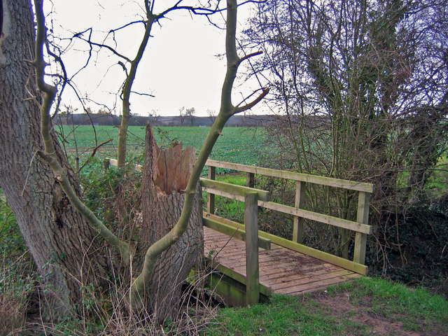
For those seeking recreational opportunities, Ashby Hill is surrounded by numerous footpaths and bridleways, offering ample opportunities for walking, hiking, and horse riding. The nearby Lincolnshire Wolds provide a stunning backdrop for outdoor pursuits, with its rolling hills and breathtaking vistas.

Overall, Ashby Hill is a charming and picturesque village, offering a peaceful retreat in the heart of the Lincolnshire countryside. Its natural beauty, tight-knit community, and proximity to the Lincolnshire Wolds make it a desirable place to live or visit for those seeking a tranquil rural setting.

If you have any feedback on the listing, please let us know in the comments section below.
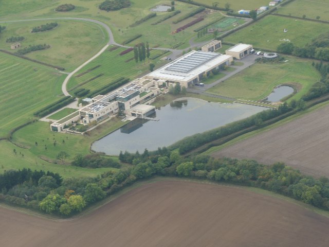
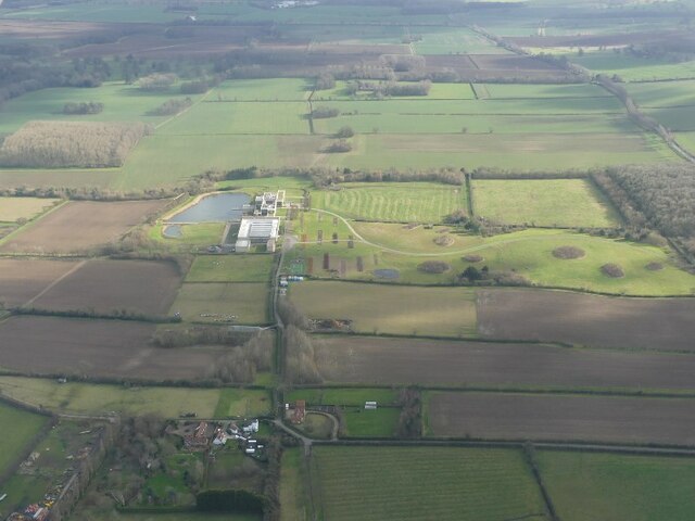
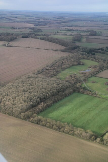
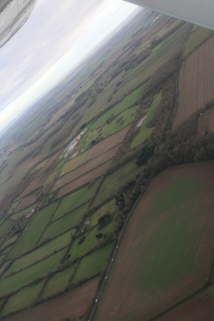
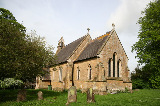
Ashby Hill Images

Images are sourced within 2km of 53.486279/-0.127654 or Grid Reference TA2400. Thanks to Geograph Open Source API. All images are credited.

Ridge and Furrow, Ashby cum Fenby: aerial 2024 (1)
Ridge and Furrow, Ashby cum Fenby: aerial 2024 (2)
Ridge and Furrow, Ashby cum Fenby: aerial 2024 (3)
Ridge and Furrow, Ashby cum Fenby: aerial 2024 (4)
Site of West Ravendale Premonstratensian Priory: aerial 2024 (1) See: <span class="nowrap"><a title="https://www.heritagegateway.org.uk/Gateway/Results_Single.aspx?uid=MNL4304&resourceID=1039" rel="nofollow ugc noopener" href="https://www.heritagegateway.org.uk/Gateway/Results_Single.aspx?uid=MNL4304&resourceID=1039">Link</a><img style="margin-left:2px;" alt="External link" title="External link - shift click to open in new window" src="https://s1.geograph.org.uk/img/external.png" width="10" height="10"/></span>
<span class="nowrap"><a title="https://www.heritagegateway.org.uk/Gateway/Results_Single.aspx?uid=MNL345&resourceID=1039" rel="nofollow ugc noopener" href="https://www.heritagegateway.org.uk/Gateway/Results_Single.aspx?uid=MNL345&resourceID=1039">Link</a><img style="margin-left:2px;" alt="External link" title="External link - shift click to open in new window" src="https://s1.geograph.org.uk/img/external.png" width="10" height="10"/></span> 
<span class="nowrap"><a title="https://www.heritagegateway.org.uk/Gateway/Results_Single.aspx?uid=MNL2134&resourceID=1039" rel="nofollow ugc noopener" href="https://www.heritagegateway.org.uk/Gateway/Results_Single.aspx?uid=MNL2134&resourceID=1039">Link</a><img style="margin-left:2px;" alt="External link" title="External link - shift click to open in new window" src="https://s1.geograph.org.uk/img/external.png" width="10" height="10"/></span> and
<span class="nowrap"><a title="https://www.heritagegateway.org.uk/Gateway/Results_Single.aspx?uid=MNL2132&resourceID=1039" rel="nofollow ugc noopener" href="https://www.heritagegateway.org.uk/Gateway/Results_Single.aspx?uid=MNL2132&resourceID=1039">Link</a><img style="margin-left:2px;" alt="External link" title="External link - shift click to open in new window" src="https://s1.geograph.org.uk/img/external.png" width="10" height="10"/></span>
Site of West Ravendale Premonstratensian Priory: aerial 2024 (1)
See: LinkExternal link LinkExternal link LinkExternal link and LinkExternal link
Site of West Ravendale Premonstratensian Priory: aerial 2024 (2) See: <span class="nowrap"><a title="https://www.heritagegateway.org.uk/Gateway/Results_Single.aspx?uid=MNL4304&resourceID=1039" rel="nofollow ugc noopener" href="https://www.heritagegateway.org.uk/Gateway/Results_Single.aspx?uid=MNL4304&resourceID=1039">Link</a><img style="margin-left:2px;" alt="External link" title="External link - shift click to open in new window" src="https://s1.geograph.org.uk/img/external.png" width="10" height="10"/></span>
<span class="nowrap"><a title="https://www.heritagegateway.org.uk/Gateway/Results_Single.aspx?uid=MNL345&resourceID=1039" rel="nofollow ugc noopener" href="https://www.heritagegateway.org.uk/Gateway/Results_Single.aspx?uid=MNL345&resourceID=1039">Link</a><img style="margin-left:2px;" alt="External link" title="External link - shift click to open in new window" src="https://s1.geograph.org.uk/img/external.png" width="10" height="10"/></span> 
<span class="nowrap"><a title="https://www.heritagegateway.org.uk/Gateway/Results_Single.aspx?uid=MNL2134&resourceID=1039" rel="nofollow ugc noopener" href="https://www.heritagegateway.org.uk/Gateway/Results_Single.aspx?uid=MNL2134&resourceID=1039">Link</a><img style="margin-left:2px;" alt="External link" title="External link - shift click to open in new window" src="https://s1.geograph.org.uk/img/external.png" width="10" height="10"/></span> and
<span class="nowrap"><a title="https://www.heritagegateway.org.uk/Gateway/Results_Single.aspx?uid=MNL2132&resourceID=1039" rel="nofollow ugc noopener" href="https://www.heritagegateway.org.uk/Gateway/Results_Single.aspx?uid=MNL2132&resourceID=1039">Link</a><img style="margin-left:2px;" alt="External link" title="External link - shift click to open in new window" src="https://s1.geograph.org.uk/img/external.png" width="10" height="10"/></span>
Site of West Ravendale Premonstratensian Priory: aerial 2024 (2)
See: LinkExternal link LinkExternal link LinkExternal link and LinkExternal link
Site of West Ravendale Premonstratensian Priory: aerial 2024 (3) See: <span class="nowrap"><a title="https://www.heritagegateway.org.uk/Gateway/Results_Single.aspx?uid=MNL4304&resourceID=1039" rel="nofollow ugc noopener" href="https://www.heritagegateway.org.uk/Gateway/Results_Single.aspx?uid=MNL4304&resourceID=1039">Link</a><img style="margin-left:2px;" alt="External link" title="External link - shift click to open in new window" src="https://s1.geograph.org.uk/img/external.png" width="10" height="10"/></span>
<span class="nowrap"><a title="https://www.heritagegateway.org.uk/Gateway/Results_Single.aspx?uid=MNL345&resourceID=1039" rel="nofollow ugc noopener" href="https://www.heritagegateway.org.uk/Gateway/Results_Single.aspx?uid=MNL345&resourceID=1039">Link</a><img style="margin-left:2px;" alt="External link" title="External link - shift click to open in new window" src="https://s1.geograph.org.uk/img/external.png" width="10" height="10"/></span> 
<span class="nowrap"><a title="https://www.heritagegateway.org.uk/Gateway/Results_Single.aspx?uid=MNL2134&resourceID=1039" rel="nofollow ugc noopener" href="https://www.heritagegateway.org.uk/Gateway/Results_Single.aspx?uid=MNL2134&resourceID=1039">Link</a><img style="margin-left:2px;" alt="External link" title="External link - shift click to open in new window" src="https://s1.geograph.org.uk/img/external.png" width="10" height="10"/></span> and
<span class="nowrap"><a title="https://www.heritagegateway.org.uk/Gateway/Results_Single.aspx?uid=MNL2132&resourceID=1039" rel="nofollow ugc noopener" href="https://www.heritagegateway.org.uk/Gateway/Results_Single.aspx?uid=MNL2132&resourceID=1039">Link</a><img style="margin-left:2px;" alt="External link" title="External link - shift click to open in new window" src="https://s1.geograph.org.uk/img/external.png" width="10" height="10"/></span>
Site of West Ravendale Premonstratensian Priory: aerial 2024 (3)
See: LinkExternal link LinkExternal link LinkExternal link and LinkExternal link
Equestrian facility near Ashby-cum-Fenby: aerial 2021
Across Ashby cum Fenby to the equestrian facility at South Farm: aerial 2022
Equestrian facility at South Farm, Ashby cum Fenby: aerial 2022 See also <a href="https://www.geograph.org.uk/photo/7144747">TF2599 : Across Ashby cum Fenby to the equestrian facility at South Farm: aerial 2022</a>.
Equestrian facility at South Farm, Ashby cum Fenby: aerial 2022
Fenby Top Wood: aerial 2024
Farmland by the A18, Ashby cum Fenby: aerial 2024
St.Martin's church, East Ravendale, Lincs. By James Fowler in 1857 in the Early English style
St.Martin's church, East Ravendale, Lincs.
By James Fowler in 1857 in the Early English style
Footbridge  Looking SW from the top NE corner of the grid square which is all farmland.
Footbridge
Looking SW from the top NE corner of the grid square which is all farmland.
Track To East Revendale The track heads east from the road adjacent to a small disused quarry.
Track To East Revendale
The track heads east from the road adjacent to a small disused quarry.
East Ravendale village A lovely thatched cottage beyond the church, where the road turns into tracks.
East Ravendale village
A lovely thatched cottage beyond the church, where the road turns into tracks.
East Ravendale School A lovely little village school, built in 1856 when the population was around 100.
East Ravendale School
A lovely little village school, built in 1856 when the population was around 100.
Valley road to the east With the woods at East Ravendale in the distance, the lane curves almost continuously on its journey east.
Valley road to the east
With the woods at East Ravendale in the distance, the lane curves almost continuously on its journey east.
Show me another place!

Ashby Hill is located at Grid Ref: TA2400 (Lat: 53.486279, Lng: -0.127654)

Division: Parts of Lindsey

Unitary Authority: North East Lincolnshire

Police Authority: Humberside

What 3 Words

///tigers.installs.vipers. Near Waltham, Lincolnshire

Nearby Locations

Ashby Hill

Related Wikis

Ashby cum Fenby

Ashby cum Fenby is a village and civil parish in North East Lincolnshire, England, approximately 5 miles (8 km) south from Grimsby, and just east of the...

East Ravendale

East Ravendale is a small village and civil parish in North East Lincolnshire, England. It is situated 6 miles (9.7 km) south-south-west from Grimsby,...

West Ravendale

West Ravendale is a hamlet in the civil parish of East Ravendale , in North East Lincolnshire, England, and approximately 8 miles (13 km) south-west from...

West Ravendale Priory

West Ravendale Priory was a Premonstratensian priory in North East Lincolnshire, England and one of nine within the historical county. The site of the...

Nearby Amenities

Located within 500m of 53.486279,-0.127654
Ashby Hill
Naptan AtcoCode: 228000312459
Naptan Bearing: NE
Naptan BusStopType: CUS
Naptan CommonName: Ashby Hill
Naptan Crossing: Barton Street
Naptan Indicator: NE-bound
Naptan NaptanCode: gritmgd
Naptan Notes: CUS
Naptan Street: Ashby Hill
Naptan Verified: no
Source: naptan_import
Lat/Long: 53.4879341/-0.1292727
Ashby Hill
Naptan AtcoCode: 228000312460
Naptan Bearing: SW
Naptan BusStopType: CUS
Naptan CommonName: Ashby Hill
Naptan Crossing: Barton Street
Naptan Indicator: SW-bound
Naptan NaptanCode: gritpgd
Naptan Notes: CUS
Naptan Street: Ashby Hill
Naptan Verified: no
Source: naptan_import
Lat/Long: 53.4878606/-0.1291704
Power: pole
Lat/Long: 53.4822449/-0.1251789
Power: pole
Lat/Long: 53.4825857/-0.1275881
Power: pole
Lat/Long: 53.4828809/-0.1299982
Ravendale Top
Natural: peak
Source: Bing
Lat/Long: 53.4849352/-0.1346837
The data included in this document is from www.openstreetmap.org. The data is made available under ODbL.

Have you been to Ashby Hill?

Leave your review of Ashby Hill below (or comments, questions and feedback).