The Reservoir
Lake, Pool, Pond, Freshwater Marsh in Leicestershire Melton
England
The Reservoir

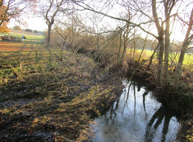
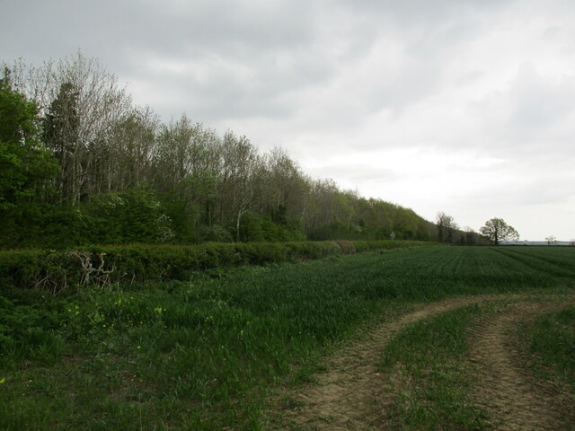
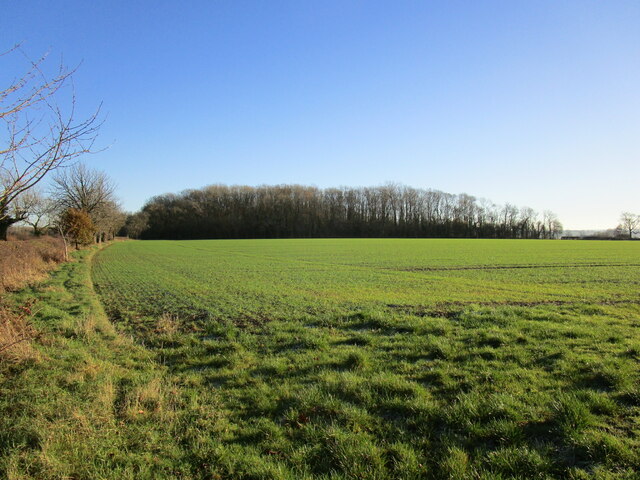
The Reservoir is a picturesque freshwater lake located in Leicestershire, England. Spanning across a vast area, it serves as a popular recreational spot for locals and tourists alike. The reservoir is nestled amidst lush greenery and offers breathtaking views of the surrounding countryside.
This man-made body of water was created in the late 19th century to meet the growing demand for freshwater in the region. It is fed by a network of streams and rivers, ensuring a constant supply of clean water. The reservoir is also home to a diverse range of aquatic flora and fauna, making it an ideal habitat for various species of fish and birds.
The Reservoir features several amenities for visitors to enjoy. There are designated fishing spots along the banks, attracting anglers of all skill levels. Boating and sailing are also popular activities, with boat rentals available for those who wish to explore the tranquil waters.
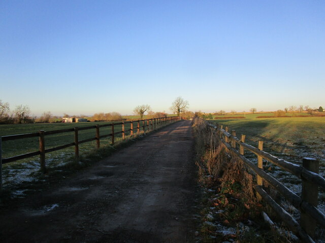
Hiking and walking trails surround the reservoir, providing opportunities for nature enthusiasts to immerse themselves in the peaceful ambiance. The pathways are well-maintained, making it easy for visitors to navigate the area and enjoy the scenic beauty.
The Reservoir is not only a recreational site but also serves as an important water source for the local community. Its well-preserved ecosystem and serene atmosphere make it a cherished destination for both relaxation and exploration. Whether one seeks a tranquil getaway or an outdoor adventure, The Reservoir offers an idyllic setting to unwind and connect with nature.
If you have any feedback on the listing, please let us know in the comments section below.
The Reservoir Images
Images are sourced within 2km of 52.704815/-0.9540508 or Grid Reference SK7012. Thanks to Geograph Open Source API. All images are credited.


The Reservoir is located at Grid Ref: SK7012 (Lat: 52.704815, Lng: -0.9540508)
Administrative County: Leicestershire
District: Melton
Police Authority: Leicestershire
What 3 Words
///sapping.fewest.fillings. Near Queniborough, Leicestershire
Nearby Locations
Related Wikis

Ashby Folville
Ashby Folville is a village and former civil parish, now in the parish of Gaddesby, in the Melton district of Leicestershire, England, south west of Melton...
St Mary's Church, Ashby Folville
St Mary's Church is a church in Ashby Folville, Leicestershire. It is a Grade I listed building. == History == The church was founded in 1220 by Maud Bassett...

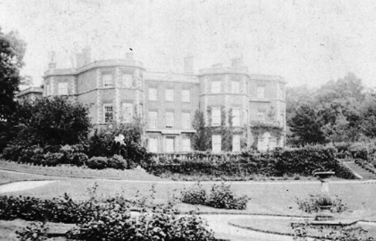
Ashby Folville Manor
Ashby Folville Manor is a late 19th-century house in Neo-Tudor style in the village of Ashby Folville, Leicestershire. The house was substantially rebuilt...
Barsby
Barsby is a village and former civil parish now in the parish of Gaddesby, in the Melton district, in the county of Leicestershire, England. In 1931 the...
Gaddesby Hall
Gaddesby Hall is an 18th-century brick-built house in the village of Gaddesby, Leicestershire. It was built in the late 1740s as a three-storey house with...

Gaddesby
Gaddesby is a village and civil parish in the Melton borough of Leicestershire, England. The population of the civil parish (including Ashby Folville and...

South Croxton
South Croxton (traditionally pronounced "crow-sun" [ˈkroʊsən]) is a village and civil parish in the Charnwood district of Leicestershire, England. It had...

Twyford and Thorpe
Twyford and Thorpe is a civil parish in Leicestershire, England, comprising the villages of Twyford and Thorpe Satchville, and the hamlet of John O'Gaunt...
Nearby Amenities
Located within 500m of 52.704815,-0.9540508Have you been to The Reservoir?
Leave your review of The Reservoir below (or comments, questions and feedback).