Round Covert
Wood, Forest in Oxfordshire Cherwell
England
Round Covert
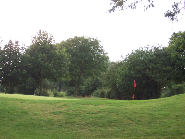
Round Covert is a wood located in Oxfordshire, England. Situated in the heart of the county, it is specifically positioned in the Forest region. This woodland area covers a vast expanse and boasts a rich natural environment.
Round Covert is known for its dense and diverse collection of trees, creating a serene and picturesque landscape. The wood is predominantly made up of deciduous trees such as oak, beech, and birch, providing a stunning display of colors throughout the changing seasons. The forest floor is adorned with a variety of wildflowers and ferns, adding to the overall beauty of the area.
The wood is home to a wide range of wildlife, making it a popular spot for nature enthusiasts and birdwatchers. Species such as deer, foxes, badgers, and squirrels can often be spotted roaming the forest. A plethora of bird species including woodpeckers, owls, and various songbirds inhabit the trees, filling the air with their melodic calls.
Round Covert offers several scenic walking trails, allowing visitors to immerse themselves in the tranquil surroundings and explore the wood at their own pace. The paths wind their way through the trees, offering glimpses of open clearings and hidden ponds. The wood also features picnic areas, providing a perfect opportunity for visitors to relax and enjoy the peaceful atmosphere.
Overall, Round Covert, Oxfordshire is a haven for those seeking refuge in nature. With its abundance of flora and fauna, it offers a unique and captivating experience for all who venture into its enchanting woodland.
If you have any feedback on the listing, please let us know in the comments section below.
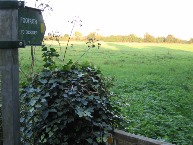
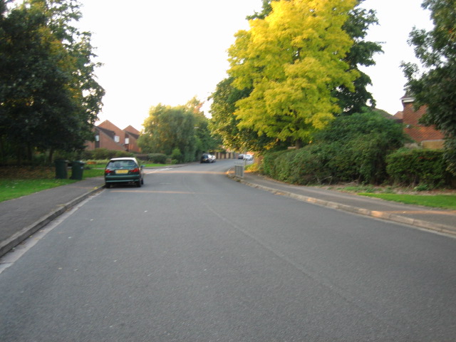
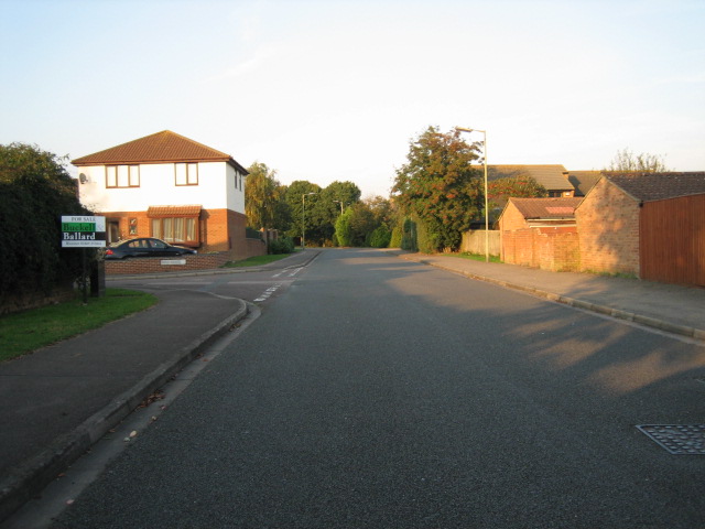
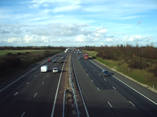
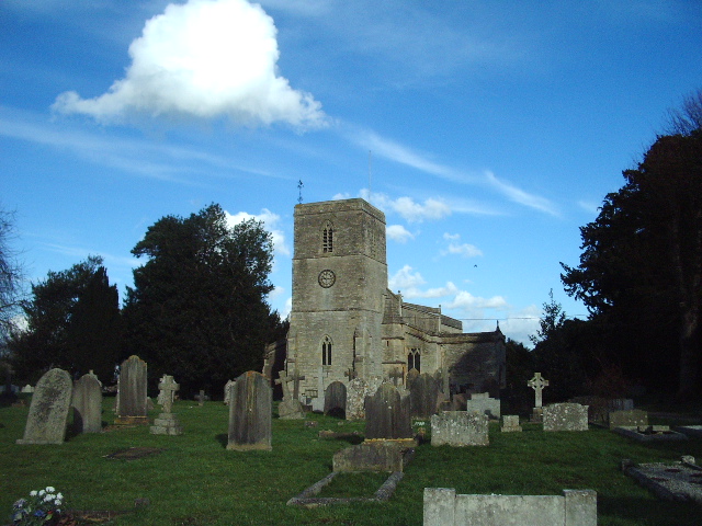
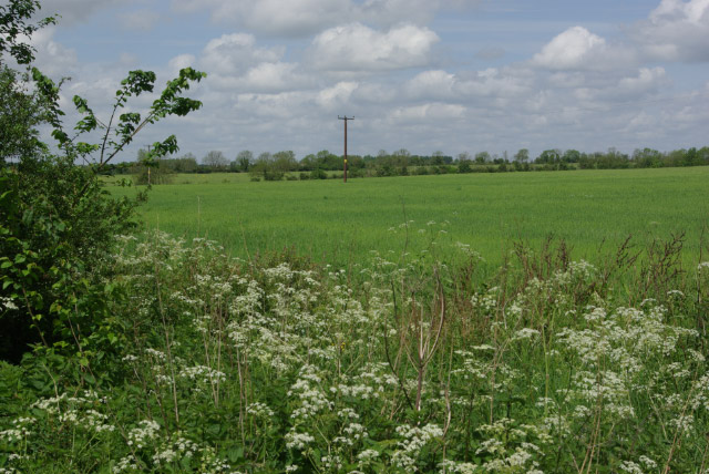
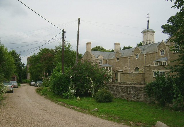
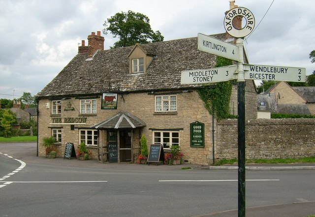
Round Covert Images
Images are sourced within 2km of 51.898048/-1.1922115 or Grid Reference SP5522. Thanks to Geograph Open Source API. All images are credited.


Round Covert is located at Grid Ref: SP5522 (Lat: 51.898048, Lng: -1.1922115)
Administrative County: Oxfordshire
District: Cherwell
Police Authority: Thames Valley
What 3 Words
///cherish.profiled.sand. Near Bicester, Oxfordshire
Nearby Locations
Related Wikis
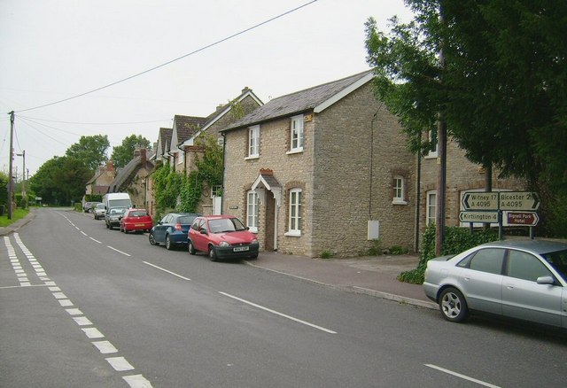
Chesterton, Oxfordshire
Chesterton is a village and civil parish on Gagle Brook, a tributary of the Langford Brook in north Oxfordshire. The village is about 1+1⁄2 miles (2.4...
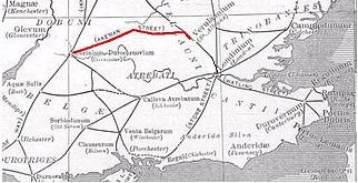
Akeman Street
Akeman Street is a Roman road in southern England between the modern counties of Hertfordshire and Gloucestershire. It is approximately 117 kilometres...

Bicester Avenue
Bicester Avenue Home and Garden Centre is a shopping centre in Bicester, Oxfordshire, England, that opened in May 2007. Some of the stores at Bicester...

The Bicester School
The Bicester School (previously Bicester Community College) is a mixed, multi-heritage, secondary school, with 963 students (including a sixth form). It...

Bure Park
Bure Park is a 8.4-hectare (21-acre) Local Nature Reserve in Bicester in Oxfordshire. It is owned by Bicester Town Council and managed by Cherwell District...

Middleton Stoney
Middleton Stoney is a village and civil parish about 2+1⁄2 miles (4 km) west of Bicester, Oxfordshire. The 2011 Census recorded the parish's population...
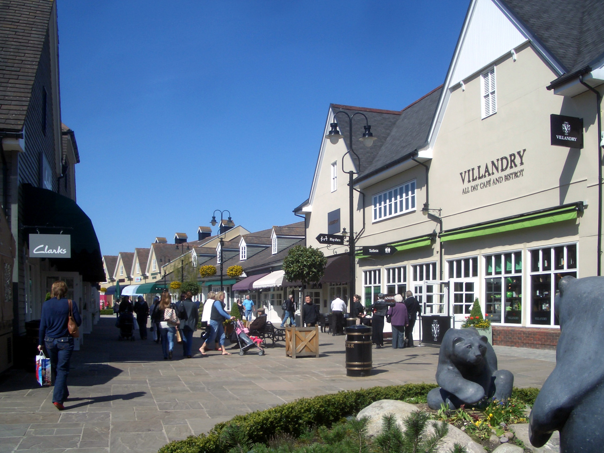
Bicester Village
Bicester Village is a designer outlet shopping centre on the outskirts of Bicester, a town in Oxfordshire, England. It is owned by Value Retail plc. The...
Alchester (Roman town)
Alchester is the site of an ancient Roman town. The site is not included in any ancient references; hence, the Roman name is not known. However, Eilert...
Nearby Amenities
Located within 500m of 51.898048,-1.1922115Have you been to Round Covert?
Leave your review of Round Covert below (or comments, questions and feedback).