Little Island
Downs, Moorland in Oxfordshire Cherwell
England
Little Island

Little Island is a picturesque village located in the county of Oxfordshire, England. Situated amidst the idyllic landscape of the Downs and Moorland, it offers a unique blend of rural charm and natural beauty. The village is nestled between rolling hills and expansive meadows, providing a stunning backdrop for residents and visitors alike.
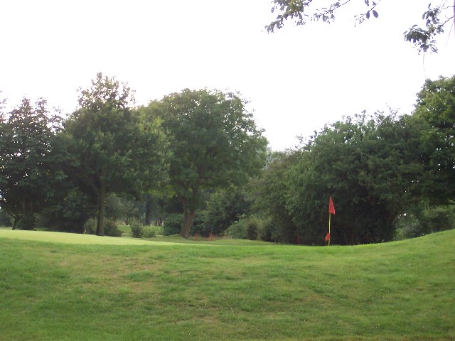
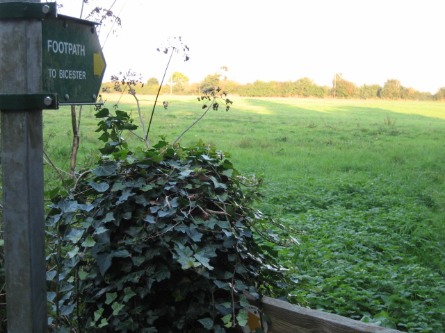
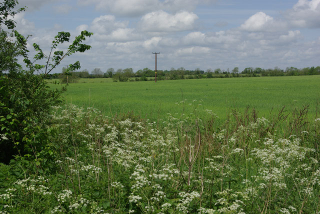
The Downs in Little Island are characterized by their gently sloping hills and lush greenery. They are a haven for outdoor enthusiasts, offering numerous walking and hiking trails that showcase the area's stunning vistas. The open fields and meadows of the Moorland are home to a diverse range of flora and fauna, making it a popular spot for nature lovers and birdwatchers.
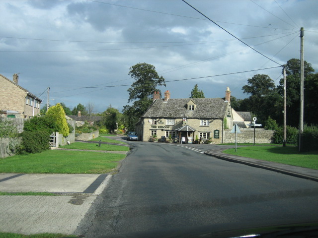
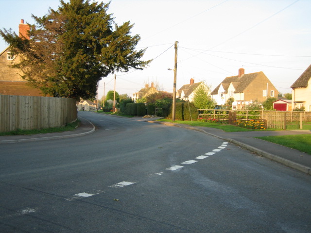
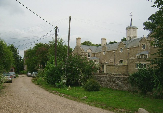
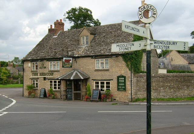
The village itself is a quaint and tight-knit community, with a small population that values its rural heritage. It boasts a picturesque village green, surrounded by charming cottages and a few local businesses. The village pub is a popular gathering spot for residents, offering a warm and inviting atmosphere.
Despite its rural setting, Little Island is conveniently located within close proximity to larger towns and cities. Oxford, with its rich history and world-renowned university, is just a short drive away, providing residents with access to a wide range of amenities and cultural attractions.
Overall, Little Island in Oxfordshire is a hidden gem, offering a peaceful and scenic escape from the hustle and bustle of city life. Its Downs and Moorland provide ample opportunities for outdoor activities, while its close proximity to Oxford ensures that residents can enjoy the best of both worlds.
If you have any feedback on the listing, please let us know in the comments section below.
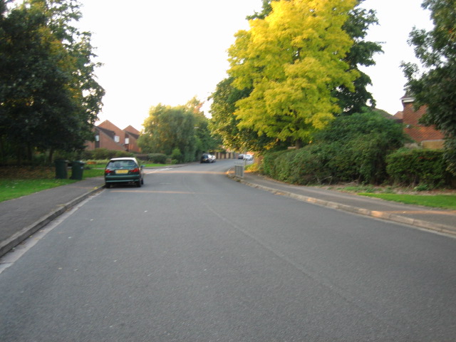
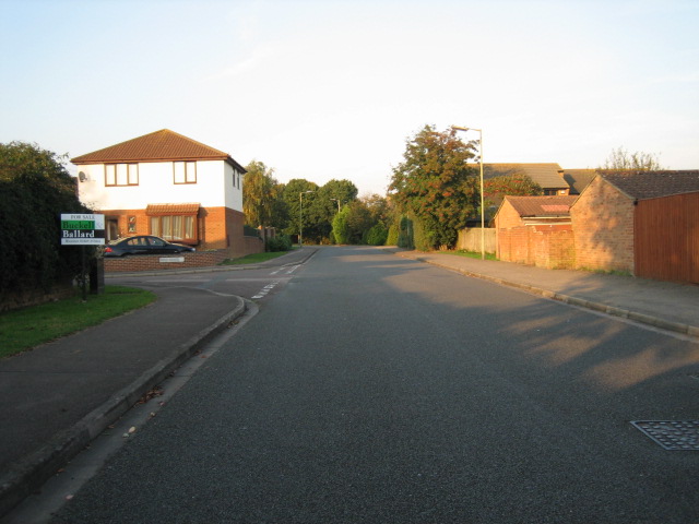
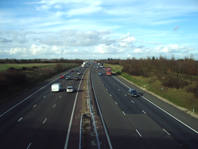
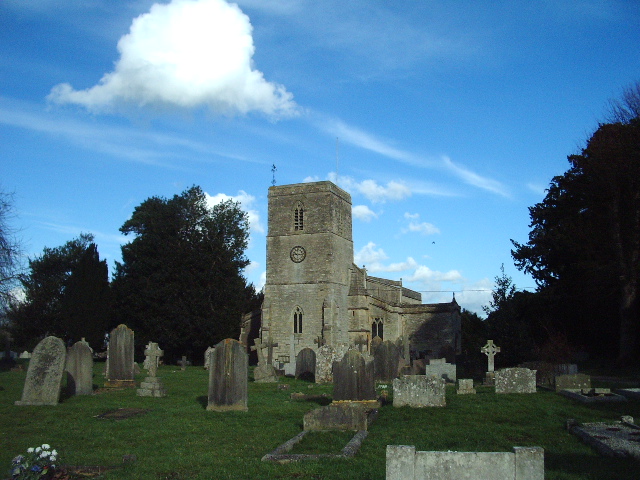
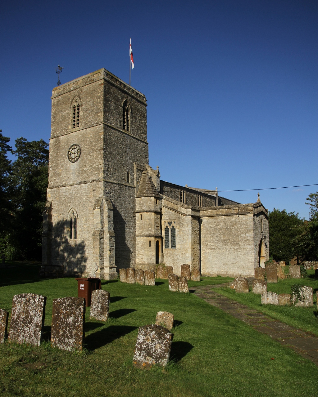
Little Island Images
Images are sourced within 2km of 51.893959/-1.1976907 or Grid Reference SP5522. Thanks to Geograph Open Source API. All images are credited.


Little Island is located at Grid Ref: SP5522 (Lat: 51.893959, Lng: -1.1976907)
Administrative County: Oxfordshire
District: Cherwell
Police Authority: Thames Valley
What 3 Words
///cake.fluctuate.downward. Near Bicester, Oxfordshire
Nearby Locations
Related Wikis
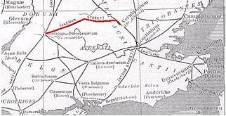
Akeman Street
Akeman Street is a Roman road in southern England between the modern counties of Hertfordshire and Gloucestershire. It is approximately 117 kilometres...
Chesterton, Oxfordshire
Chesterton is a village and civil parish on Gagle Brook, a tributary of the Langford Brook in north Oxfordshire. The village is about 1+1⁄2 miles (2.4...

Bicester Avenue
Bicester Avenue Home and Garden Centre is a shopping centre in Bicester, Oxfordshire, England, that opened in May 2007. Some of the stores at Bicester...

Middleton Stoney
Middleton Stoney is a village and civil parish about 2+1⁄2 miles (4 km) west of Bicester, Oxfordshire. The 2011 Census recorded the parish's population...
Nearby Amenities
Located within 500m of 51.893959,-1.1976907Have you been to Little Island?
Leave your review of Little Island below (or comments, questions and feedback).