Big Covert

Wood, Forest in Oxfordshire Cherwell

England

Big Covert

The 18th Green This is the 18th Green at Bicester Golf an Country Club, Bicester, Oxfordshire
The 18th Green Credit: Maureen Shepherd

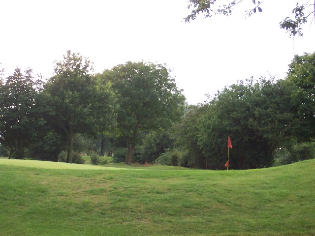
Big Covert is a picturesque woodland located in Oxfordshire, England. Spread across a sprawling area, this forest is renowned for its natural beauty and diverse ecosystem. It is situated in close proximity to the village of Wood, making it easily accessible for locals and tourists alike.

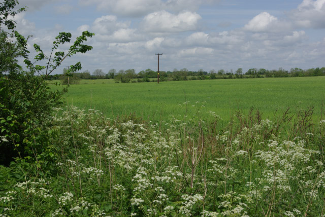
The woodland is predominantly composed of a mix of deciduous and coniferous trees, providing a lush green canopy throughout the year. Ancient oak and beech trees dominate the landscape, their towering trunks covered in moss and lichen, creating a mystical atmosphere. The forest floor is carpeted with a rich variety of wildflowers, ferns, and bracken, adding to the enchanting ambiance.

Big Covert is a haven for wildlife, providing a sanctuary for numerous species. Visitors can spot an array of birdlife, including woodpeckers, owls, and migratory birds. The forest is also home to mammals such as deer, foxes, and badgers, which can often be seen foraging for food or patrolling their territories.

Nature enthusiasts can explore the woodland through its network of well-maintained trails, offering a chance to immerse oneself in the tranquil surroundings. The forest also boasts several picnic areas and designated camping sites for those wishing to extend their stay and fully experience the serene environment.

Big Covert is not only a popular recreational destination but also plays an important role in the local ecosystem. It contributes to the conservation of biodiversity and acts as a natural carbon sink, helping to mitigate the effects of climate change.

Overall, Big Covert in Oxfordshire is a captivating woodland that offers a serene escape from the hustle and bustle of everyday life. Its natural wonders and rich biodiversity make it an ideal destination for nature lovers and outdoor enthusiasts.

If you have any feedback on the listing, please let us know in the comments section below.
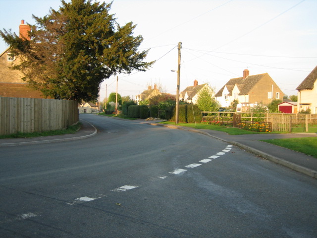
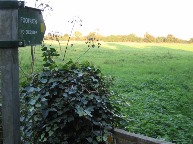
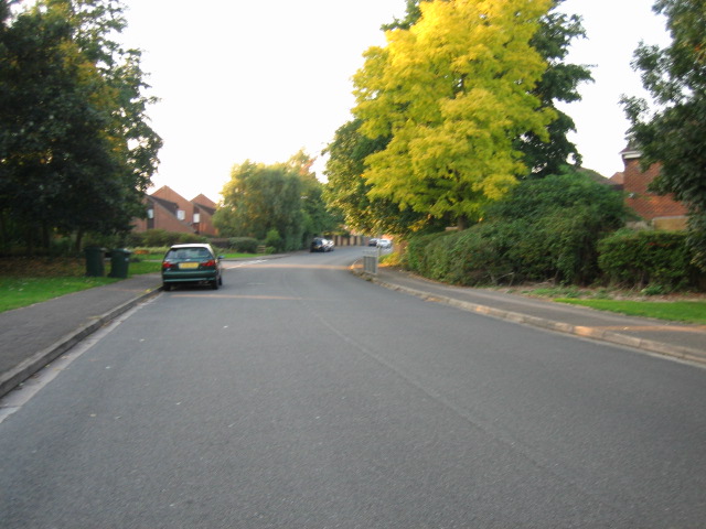
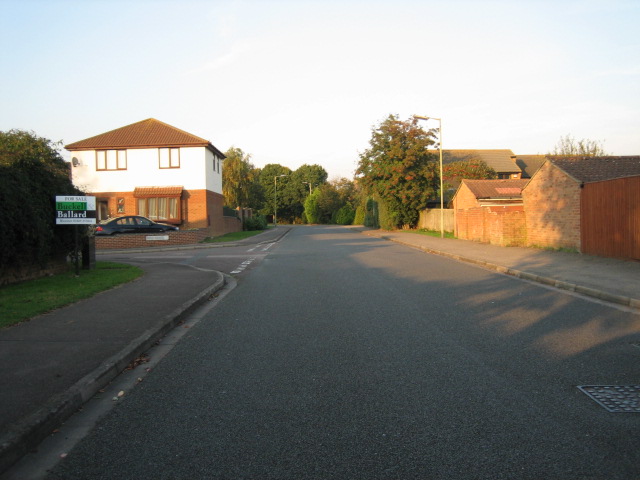
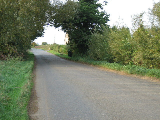
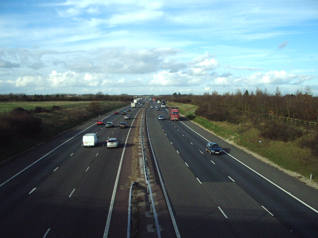
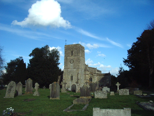
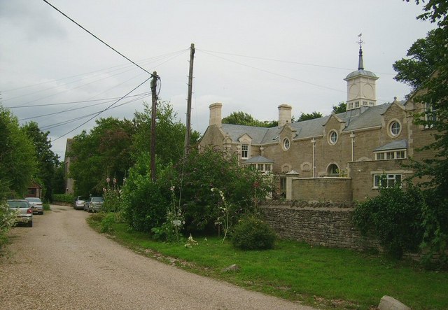
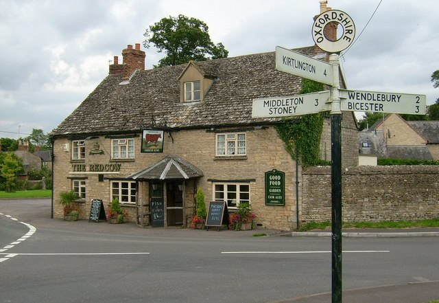
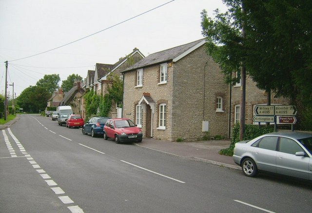
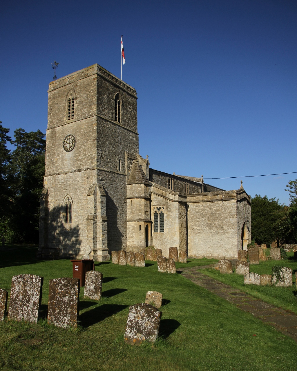
Big Covert Images

Images are sourced within 2km of 51.901847/-1.1929137 or Grid Reference SP5522. Thanks to Geograph Open Source API. All images are credited.

The 18th Green This is the 18th Green at Bicester Golf an Country Club, Bicester, Oxfordshire
The 18th Green
This is the 18th Green at Bicester Golf an Country Club, Bicester, Oxfordshire
The Red Cow pub, Chesterton
King's End looking north-east
Railway bridge over Bucknell Road, Bicester
A4095 in Chesterton looking north
Footpath to Bicester from Bignell House
Wansbeck Drive looking west
Dryden Avenue looking north
Road near Hawkwell Farm looking north-west
The Road to Bucknell
Trow Pool Water tower
M40 Looking N from the bridge of the A4095
M40
Looking N from the bridge of the A4095
St Mary's Church, Chesterton
Farmland east of Middleton Stoney Farmland north of the B4030 Bicester - Enstone road.
Farmland east of Middleton Stoney
Farmland north of the B4030 Bicester - Enstone road.
Bridleway to Bicester The bridleway skirts the edge of this field to the south of Bucknell. The roar of the nearby M40 shatters the peace here.
Bridleway to Bicester
The bridleway skirts the edge of this field to the south of Bucknell. The roar of the nearby M40 shatters the peace here.
Chesterton Lodge, Chesterton A striking and superb building located near The Red Cow pub, in Chesterton ( near Bicester). I believe this building to be 'Chesterton Lodge', though I am not certain of this. The round windows and domed details to the roof add to the striking appearance of this overlooked building.
Chesterton Lodge, Chesterton
A striking and superb building located near The Red Cow pub, in Chesterton ( near Bicester). I believe this building to be 'Chesterton Lodge', though I am not certain of this. The round windows and domed details to the roof add to the striking appearance of this overlooked building.
The Red Cow pub, Chesterton One of my best pictures in this area, and of a superb example of a traditional village pub. The Red Cow has stood proudly for many many years on the junction of the minor link road to the A41, and the minor through road that leads to Weston On The Green some 2 miles away. A lovely example of an old signpost is located here, though such signposts are sadly an increasing rarity.
The Red Cow pub, Chesterton
One of my best pictures in this area, and of a superb example of a traditional village pub. The Red Cow has stood proudly for many many years on the junction of the minor link road to the A41, and the minor through road that leads to Weston On The Green some 2 miles away. A lovely example of an old signpost is located here, though such signposts are sadly an increasing rarity.
A4095 Junction at Chesterton A view of the main junction in the village of Chesterton, on the A4095. To the right, the road leads past Bignell Park to Bicester, while to the left it winds and leads to the B430 and also Kirtlington. Shot was taken stood on an original and interesting 'village green'.
A4095 Junction at Chesterton
A view of the main junction in the village of Chesterton, on the A4095. To the right, the road leads past Bignell Park to Bicester, while to the left it winds and leads to the B430 and also Kirtlington. Shot was taken stood on an original and interesting 'village green'.
Show me another place!

Big Covert is located at Grid Ref: SP5522 (Lat: 51.901847, Lng: -1.1929137)

Administrative County: Oxfordshire

District: Cherwell

Police Authority: Thames Valley

What 3 Words

///discloses.domain.mountain. Near Bicester, Oxfordshire

Related Wikis

Chesterton, Oxfordshire

Chesterton is a village and civil parish on Gagle Brook, a tributary of the Langford Brook in north Oxfordshire. The village is about 1+1⁄2 miles (2.4...
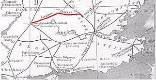
Akeman Street

Akeman Street is a Roman road in southern England between the modern counties of Hertfordshire and Gloucestershire. It is approximately 117 kilometres...

The Bicester School

The Bicester School (previously Bicester Community College) is a mixed, multi-heritage, secondary school, with 963 students (including a sixth form). It...

Middleton Stoney

Middleton Stoney is a village and civil parish about 2+1⁄2 miles (4 km) west of Bicester, Oxfordshire. The 2011 Census recorded the parish's population...
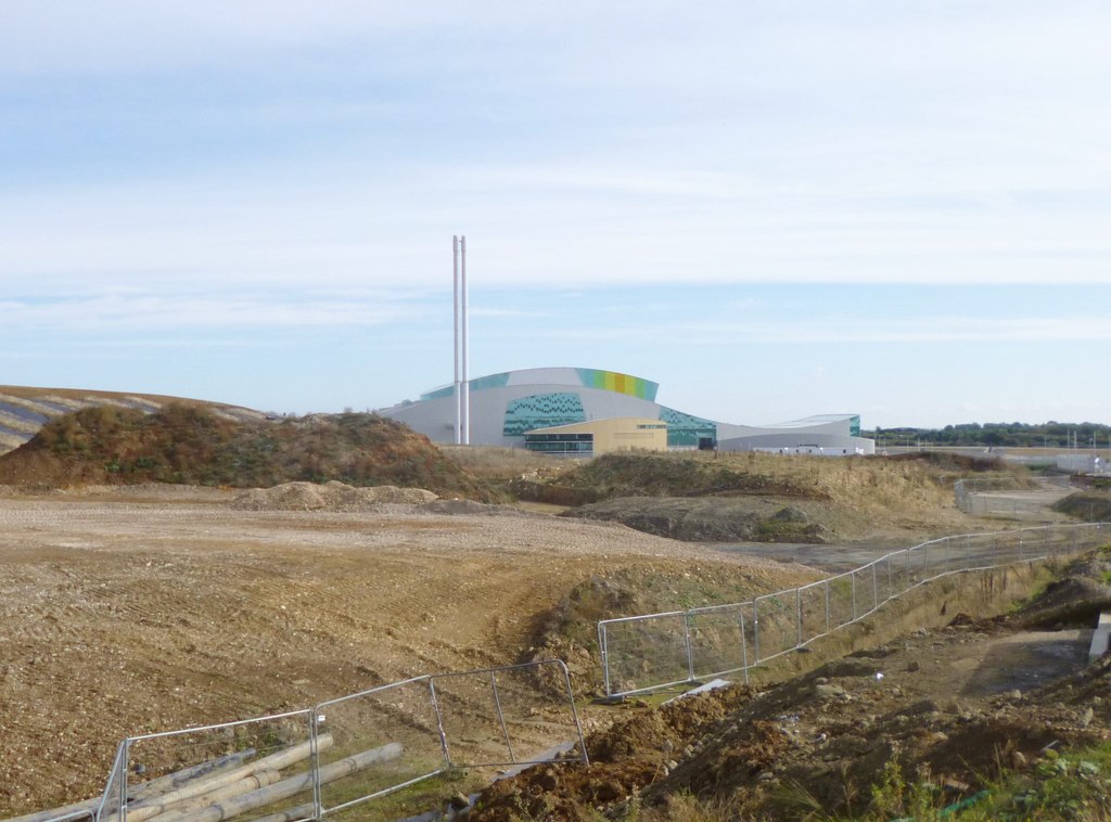
Bure Park

Bure Park is a 8.4-hectare (21-acre) Local Nature Reserve in Bicester in Oxfordshire. It is owned by Bicester Town Council and managed by Cherwell District...

Bicester Avenue

Bicester Avenue Home and Garden Centre is a shopping centre in Bicester, Oxfordshire, England, that opened in May 2007. Some of the stores at Bicester...

Ardley Trackways

Ardley Trackways is a 63.6-hectare (157-acre) geological Site of Special Scientific Interest north-west of Bicester in Oxfordshire. It is a Geological...
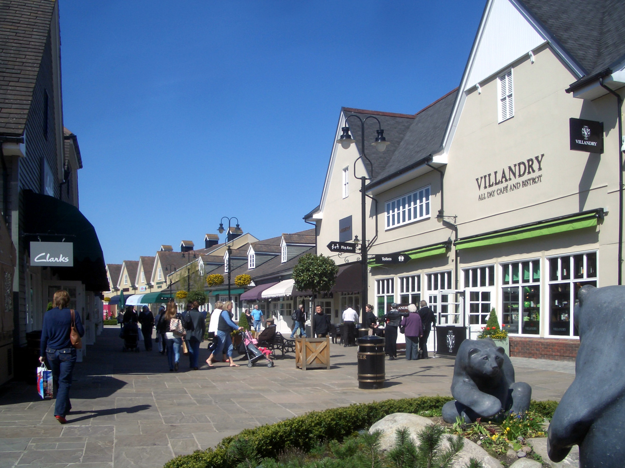
Bicester Village

Bicester Village is a designer outlet shopping centre on the outskirts of Bicester, a town in Oxfordshire, England. It is owned by Value Retail plc. The...

Nearby Amenities

Located within 500m of 51.901847,-1.1929137
Power: pole
Source: Bing
Lat/Long: 51.9048838/-1.1981961
Power: pole
Source: Bing
Lat/Long: 51.9046397/-1.1947847
Power: pole
Source: Bing
Lat/Long: 51.9045807/-1.1970156
Power: pole
Source: Bing
Lat/Long: 51.9041727/-1.1950952
Power: pole
Source: Bing
Lat/Long: 51.9053239/-1.1929336
Power: pole
Source: Bing
Lat/Long: 51.9056749/-1.1920002
Power: pole
Source: Bing
Lat/Long: 51.9039506/-1.1937597
Power: pole
Source: Bing
Lat/Long: 51.9052492/-1.1885601
Power: pole
Source: Bing
Lat/Long: 51.90401/-1.1870867
Power: pole
Source: Bing
Lat/Long: 51.9035069/-1.1912599
Power: pole
Source: Bing
Lat/Long: 51.9036163/-1.1919036
Power: pole
Source: Bing
Lat/Long: 51.9033778/-1.1906376
Power: pole
Source: Bing
Lat/Long: 51.9038381/-1.1931536
Power: pole
Source: Bing
Lat/Long: 51.9037288/-1.1925366
Power: pole
Source: Bing
Lat/Long: 51.905986/-1.1911043
Power: pole
Source: Bing
Lat/Long: 51.9050095/-1.1937705
Power: pole
Source: Bing
Lat/Long: 51.9040569/-1.194449
Power: pole
Lat/Long: 51.9042857/-1.1957218
Power: pole
Lat/Long: 51.9032751/-1.1900746
The data included in this document is from www.openstreetmap.org. The data is made available under ODbL.

Have you been to Big Covert?

Leave your review of Big Covert below (or comments, questions and feedback).