Sheeplane Copse
Wood, Forest in Hampshire Basingstoke and Deane
England
Sheeplane Copse
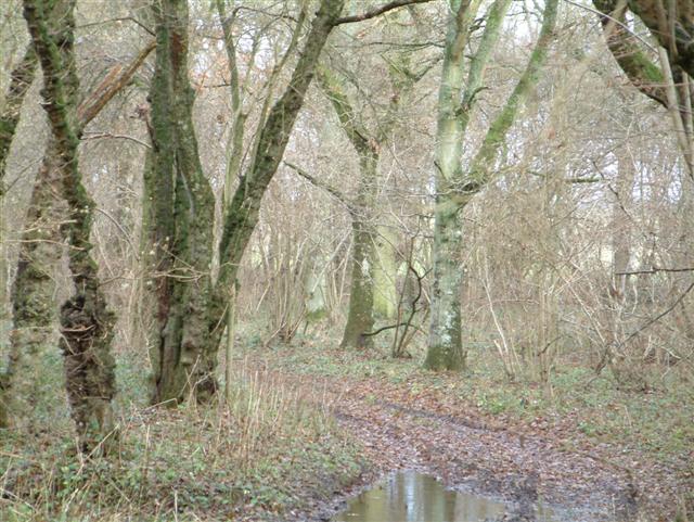
Sheeplane Copse, located in Hampshire, England, is a picturesque woodlands that covers an area of approximately 50 acres. Nestled in the heart of the county, this forested area offers a tranquil escape from the bustling city life. The copse is situated near the village of Sheeplane, hence its name, providing a haven for both locals and tourists alike.
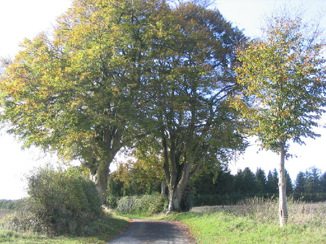
The woodland is predominantly composed of native deciduous trees, such as oak, beech, and ash, which create a rich and diverse ecosystem. The canopy of these tall trees provides shade and shelter for a variety of flora and fauna that call Sheeplane Copse their home. Visitors can expect to encounter an array of wildflowers, including bluebells and primroses, carpeting the forest floor during the spring season.
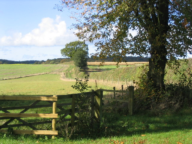
Sheeplane Copse is crisscrossed by numerous walking trails, allowing visitors to explore the forest at their own pace. These paths wind their way through the woodland, providing opportunities to observe wildlife, listen to the songs of birds, and breathe in the fresh, earthy scent of the forest. The copse is also intersected by a small stream, adding to its serenity and enhancing the overall natural beauty of the area.
The forest is known for its peaceful ambiance, making it an ideal spot for nature enthusiasts, birdwatchers, and those seeking solitude in nature's embrace. It offers a chance to disconnect from the modern world and reconnect with the tranquility of the natural environment. Whether it's a leisurely stroll or a more adventurous hike, Sheeplane Copse offers a charming destination for those seeking solace in the heart of Hampshire's woodlands.
If you have any feedback on the listing, please let us know in the comments section below.
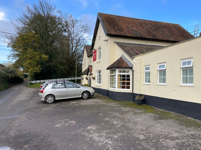
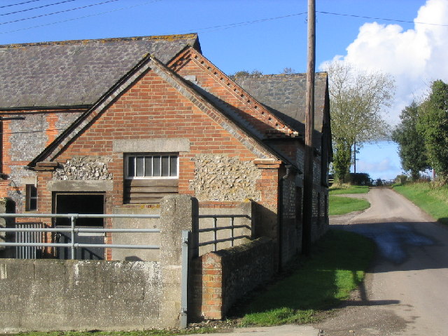
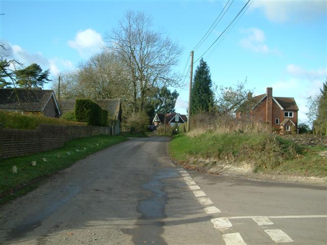
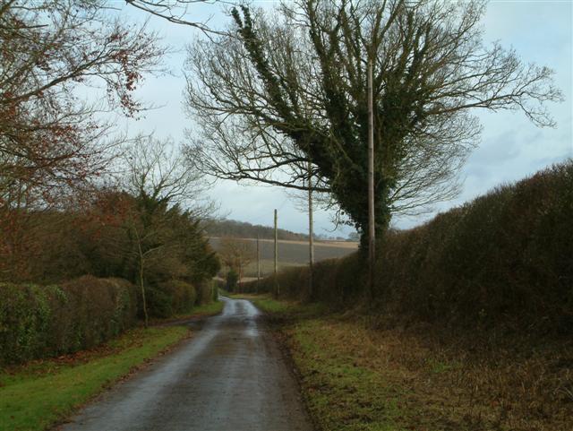
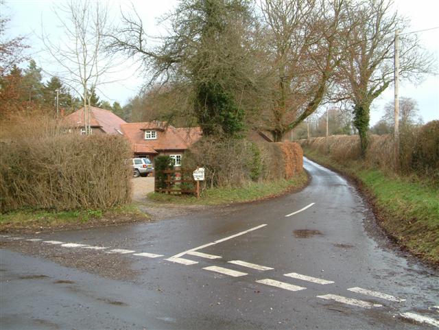
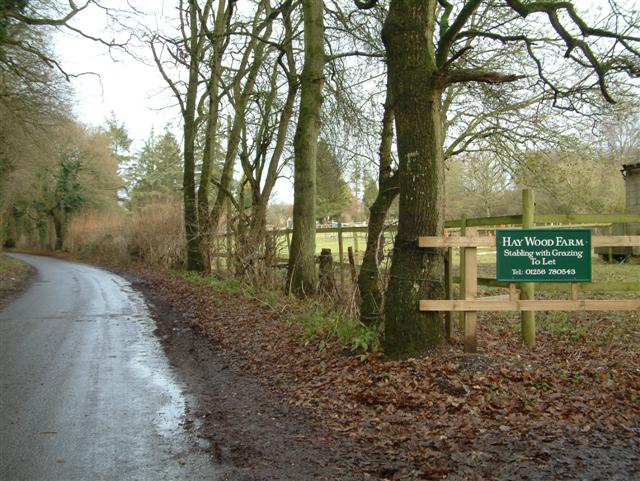
Sheeplane Copse Images
Images are sourced within 2km of 51.286823/-1.2028486 or Grid Reference SU5554. Thanks to Geograph Open Source API. All images are credited.


Sheeplane Copse is located at Grid Ref: SU5554 (Lat: 51.286823, Lng: -1.2028486)
Administrative County: Hampshire
District: Basingstoke and Deane
Police Authority: Hampshire
What 3 Words
///jobs.flinches.hatter. Near Kingsclere, Hampshire
Nearby Locations
Related Wikis

Ibworth
Ibworth is a hamlet in Hampshire, England. It is in the civil parish of Hannington. Interesting features include a community notice board and a wall post...

Hannington, Hampshire
Hannington is a civil parish in the English county of Hampshire. It is situated between Basingstoke and Newbury, on the North Hampshire Downs in the North...
North Oakley
North Oakley is a hamlet in the civil parish of Hannington in the Basingstoke and Deane district of Hampshire, England. Its nearest town is Tadley, which...

Malshanger
Malshanger is a small village in the Basingstoke and Deane district of Hampshire, England. Its nearest town is Basingstoke, which lies approximately 4...

Upper Wootton
Upper Wootton is a small village in the civil parish of Wootton St Lawrence with Ramsdell in the Basingstoke and Deane district of Hampshire, England....
Ewhurst, Hampshire
Ewhurst is a village in Hampshire, England, and 6.2 miles (10.0 km) northwest of Basingstoke. Its parish church dates from 1682. The village itself is...

Ashe Warren
Ashe Warren is a village in the Basingstoke and Deane district of Hampshire, England. The settlement is within the civil parish of Overton, and is located...

Wootton St Lawrence
Wootton St Lawrence is a small village in the civil parish of Wootton St Lawrence with Ramsdell, in Hampshire, England, 2.5 miles (4.0 km) west of Basingstoke...
Have you been to Sheeplane Copse?
Leave your review of Sheeplane Copse below (or comments, questions and feedback).