Paradise Wood
Wood, Forest in Berkshire South Oxfordshire
England
Paradise Wood
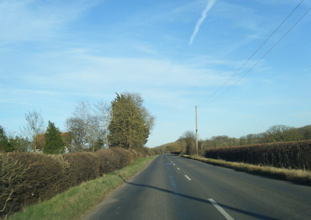
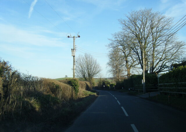
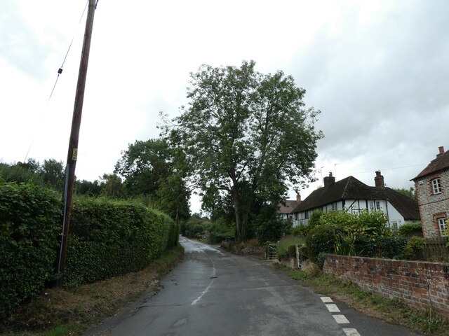
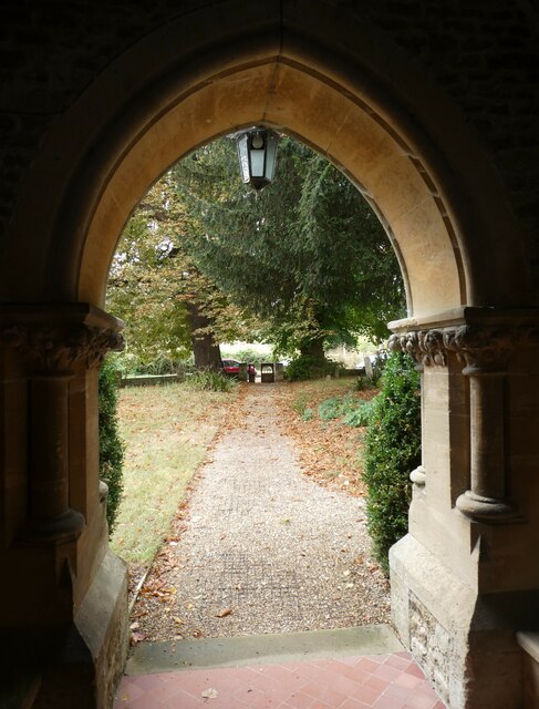
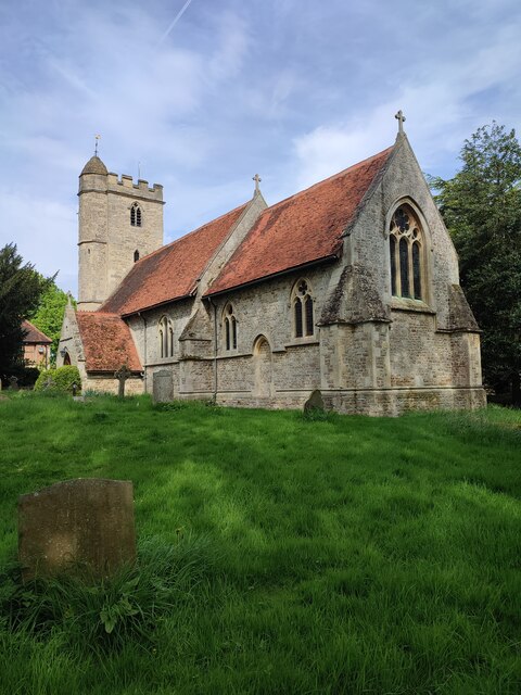
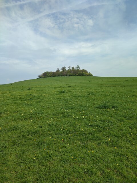
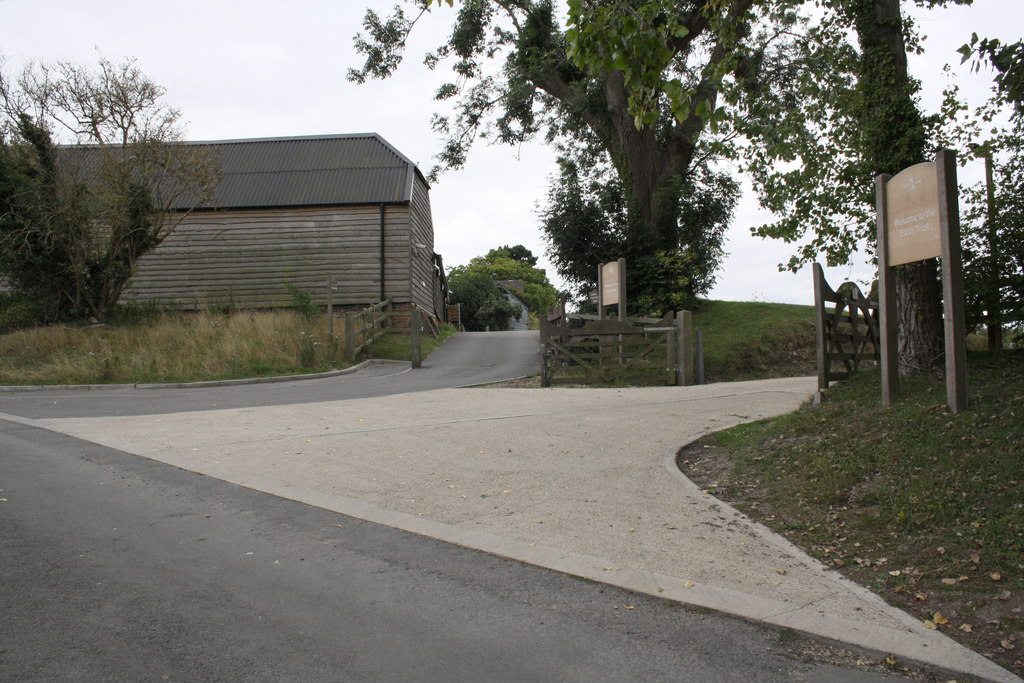
Paradise Wood, located in Berkshire, England, is a picturesque forest that boasts a rich biodiversity and provides a serene escape from the bustling city life. Spanning over a vast area, this wood is a popular destination for nature enthusiasts, hikers, and those seeking tranquility in the heart of the countryside.
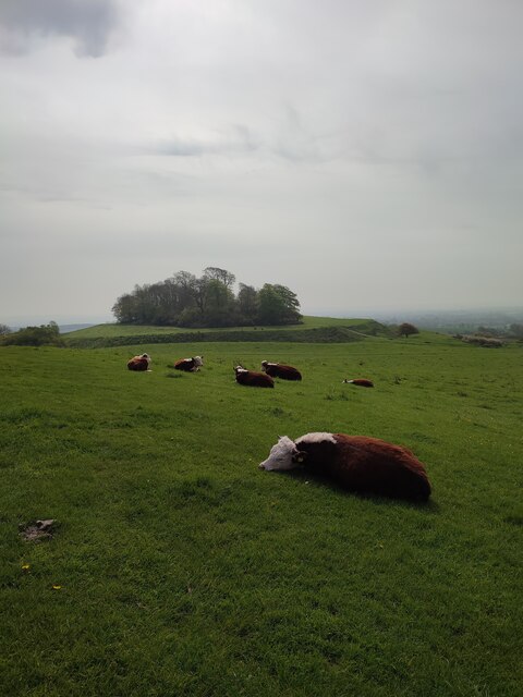
The wood is characterized by its dense canopy of trees, predominantly composed of oak, beech, and birch, which creates a cool and shaded environment even during the hottest summer months. This lush vegetation provides a sanctuary for a wide variety of wildlife, including deer, foxes, badgers, and numerous bird species. The enchanting melodies of songbirds can often be heard echoing through the trees, enhancing the ethereal ambiance of the wood.
Tranquil walking trails meander through the forest, allowing visitors to immerse themselves in its natural beauty. These paths wind around ancient trees and alongside babbling streams, offering glimpses of enchanting wildflowers and ferns that flourish in the woodland's damp undergrowth. The wood is also home to several secluded picnic areas, inviting visitors to rest and appreciate the idyllic surroundings.
Paradise Wood is a haven for those seeking respite from the modern world. Its untouched natural beauty and peaceful atmosphere make it a perfect destination for those looking to reconnect with nature. Whether it's a leisurely stroll, a birdwatching expedition, or simply a moment of solitude, Paradise Wood offers an escape to a world of tranquility and natural wonder.
If you have any feedback on the listing, please let us know in the comments section below.
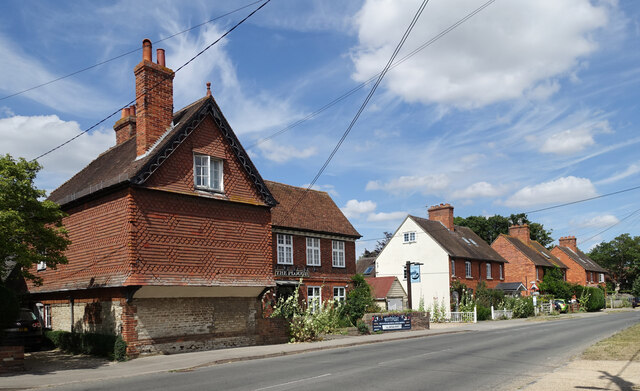
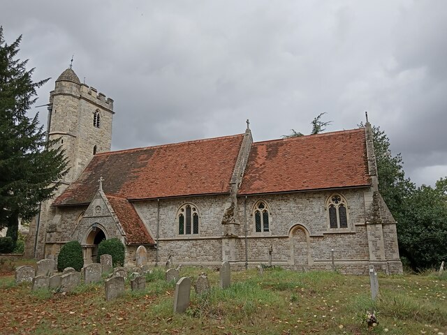
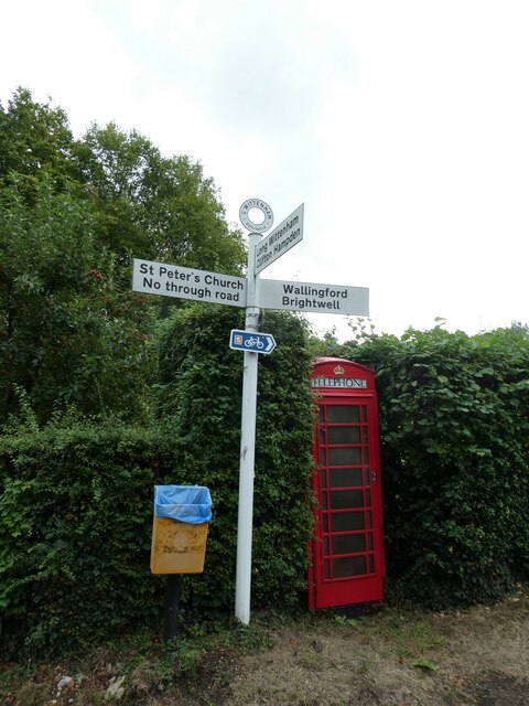
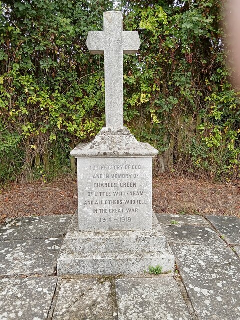
Paradise Wood Images
Images are sourced within 2km of 51.636937/-1.196684 or Grid Reference SU5593. Thanks to Geograph Open Source API. All images are credited.


Paradise Wood is located at Grid Ref: SU5593 (Lat: 51.636937, Lng: -1.196684)
Administrative County: Oxfordshire
District: South Oxfordshire
Police Authority: Thames Valley
What 3 Words
///outnumber.removes.chops. Near Didcot, Oxfordshire
Nearby Locations
Related Wikis

Paradise Wood
Paradise Wood is a research woodland established by the Earth Trust (formerly Northmoor Trust) between the villages of Little Wittenham and Long Wittenham...

Little Wittenham
Little Wittenham is a village and civil parish on the south bank of the River Thames, northeast of Didcot in South Oxfordshire. In 1974 it was transferred...
Sylva Foundation
The Sylva Foundation is an environmental organisation focusing on trees and forestry established in 2006, and registered as a charity in England and Wales...

Long Wittenham
Long Wittenham is a village and small civil parish about 3 miles (5 km) north of Didcot, and 3.5 miles (5.6 km) southeast of Abingdon. It was part of Berkshire...
Earth Trust Centre
Earth Trust Centre is the hub of the Earth Trust Farm at Little Wittenham, at the foot of Wittenham Clumps and includes: the main office; Earth Lab, where...

Little Wittenham Bridge
Little Wittenham Bridge is a footbridge across the River Thames in England near Dorchester-on-Thames, Oxfordshire. It is just downstream of Day's Lock...

Day's Lock
Day's Lock is a lock on the River Thames near Dorchester-on-Thames, Oxfordshire, England on the Dorchester side of the river. The pound lock was built...
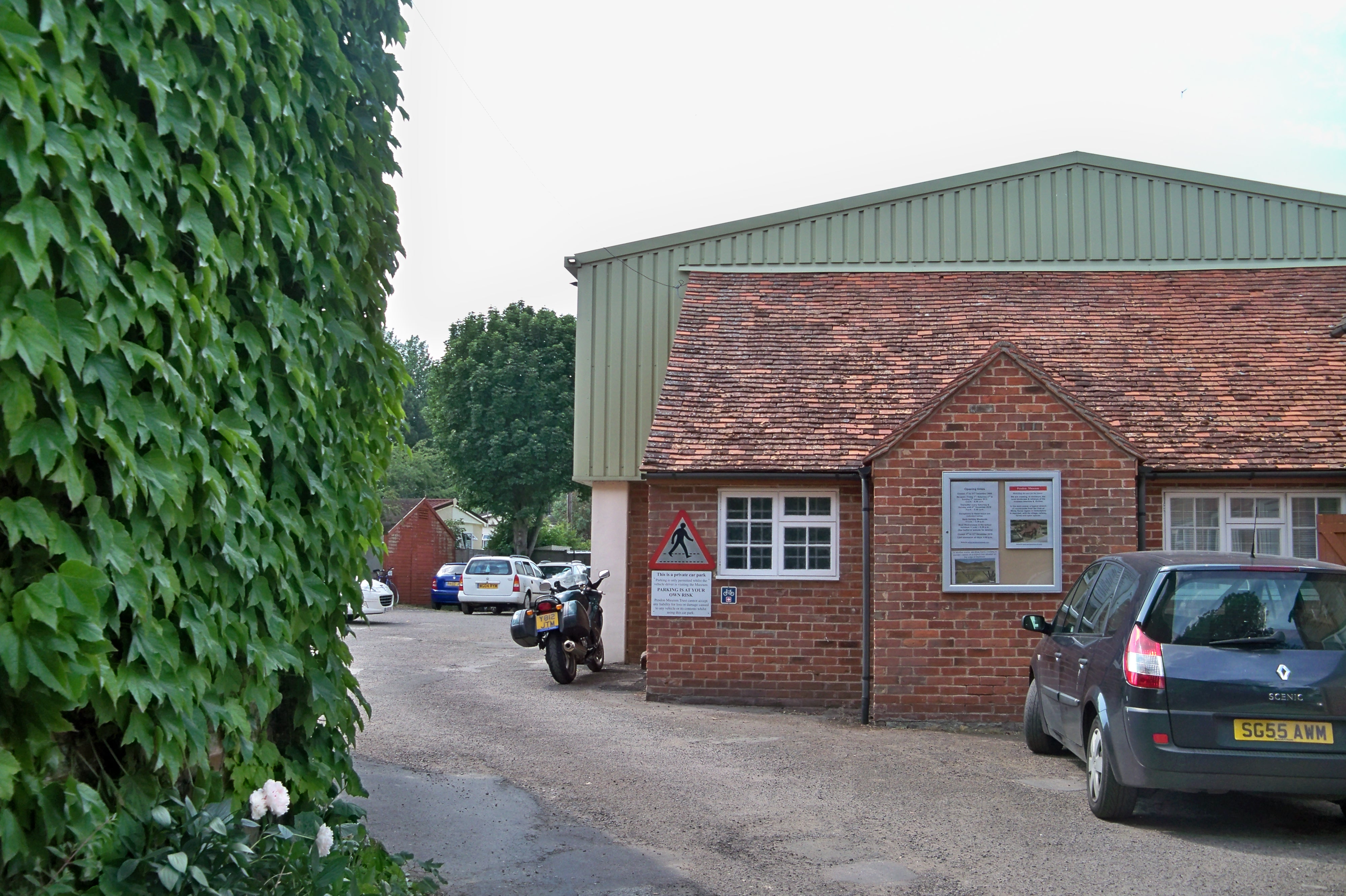
Pendon Museum
Pendon Museum, located in Long Wittenham near Didcot, Oxfordshire, England, is a museum that displays scale models, in particular a large scene representing...
Nearby Amenities
Located within 500m of 51.636937,-1.196684Have you been to Paradise Wood?
Leave your review of Paradise Wood below (or comments, questions and feedback).