Fox Covert
Wood, Forest in Nottinghamshire Gedling
England
Fox Covert
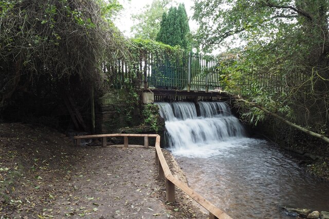
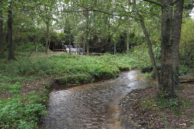
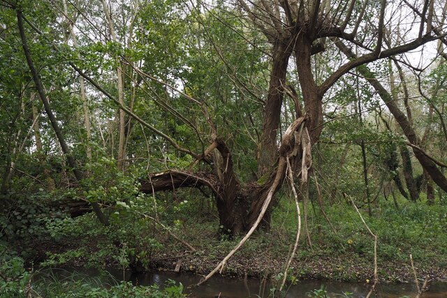
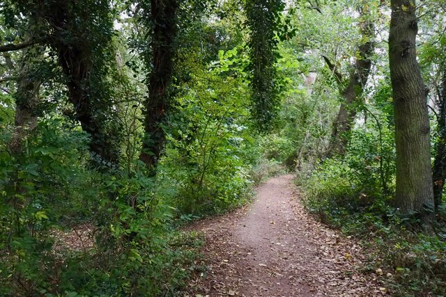
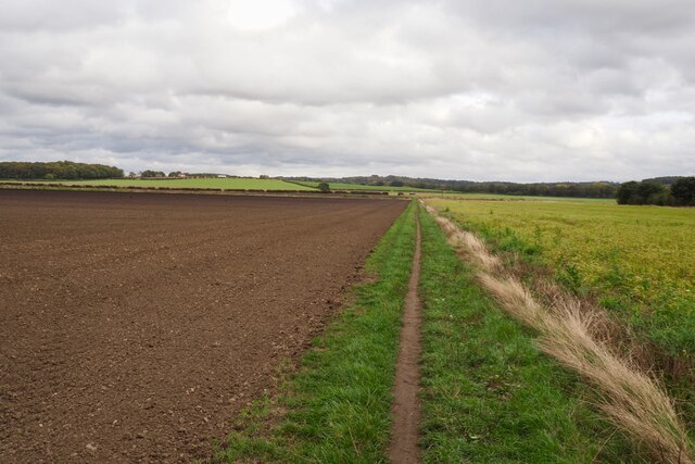
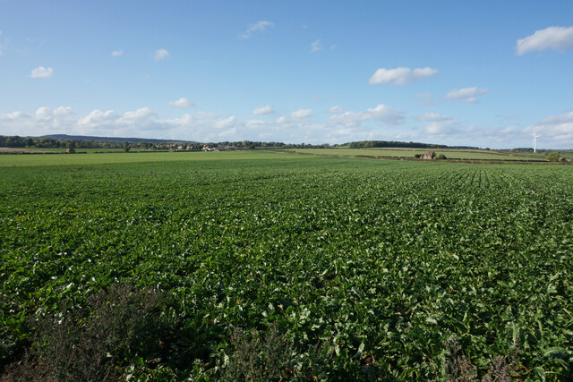
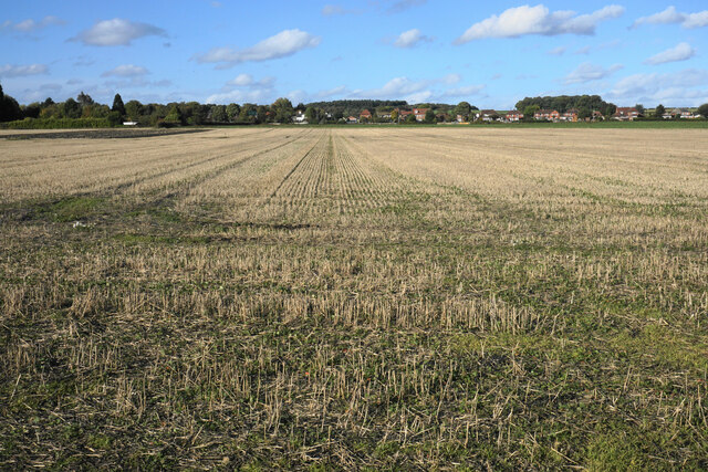
Fox Covert is a small woodland area located in Nottinghamshire, England. Situated within the larger Sherwood Forest, it covers an approximate area of 5 acres. The woodland is known for its dense vegetation, consisting primarily of a variety of deciduous trees such as oak, birch, and beech, which create a vibrant and picturesque landscape.
The name "Fox Covert" is derived from the presence of foxes in the area, which are occasionally spotted by visitors. The woodland is also home to a diverse range of wildlife, including squirrels, rabbits, and various bird species, making it a popular destination for nature enthusiasts and photographers.
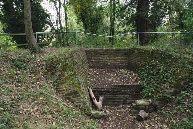
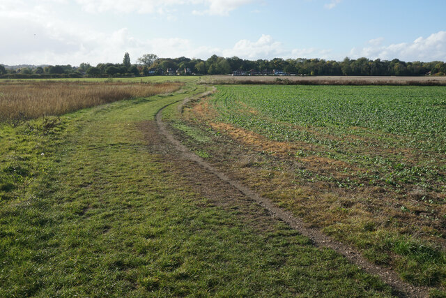
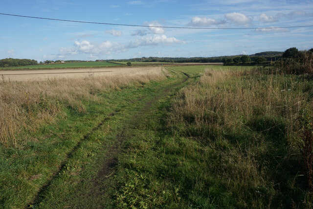
The forest floor is covered with a thick layer of moss, ferns, and wildflowers, providing a serene and peaceful environment for visitors to explore. Several well-maintained walking trails wind their way through the woodland, allowing visitors to immerse themselves in nature and enjoy the beauty of the surrounding landscape.
Fox Covert is open to the public year-round, offering a tranquil retreat from the hustle and bustle of everyday life. It is a popular spot for picnics, leisurely walks, and family outings. The woodland also hosts educational programs and guided tours, providing an opportunity for visitors to learn about the local flora and fauna.
Overall, Fox Covert in Nottinghamshire is a charming woodland area that offers a serene and picturesque setting for visitors to enjoy and connect with nature.
If you have any feedback on the listing, please let us know in the comments section below.
Fox Covert Images
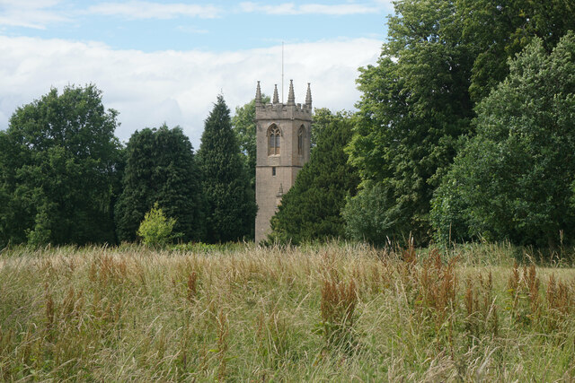
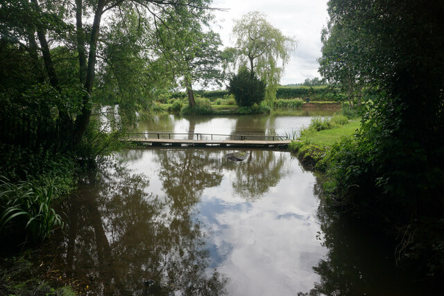
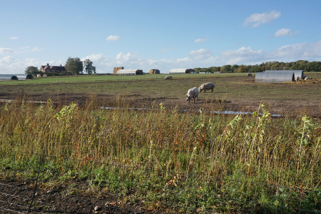
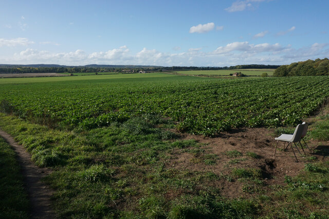
Images are sourced within 2km of 53.042849/-1.1748 or Grid Reference SK5549. Thanks to Geograph Open Source API. All images are credited.


Fox Covert is located at Grid Ref: SK5549 (Lat: 53.042849, Lng: -1.1748)
Administrative County: Nottinghamshire
District: Gedling
Police Authority: Nottinghamshire
What 3 Words
///lawn.coupler.slung. Near Hucknall, Nottinghamshire
Nearby Locations
Related Wikis

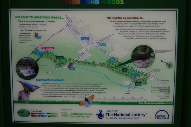
Papplewick
Papplewick is a village and civil parish in Nottinghamshire, England, 7.5 miles (12.1 km) north of Nottingham and 6 miles (9.7 km) south of Mansfield....

Hucknall station
Hucknall station, also formerly known as Hucknall Byron station, is a railway station and tram stop in Hucknall, Nottinghamshire, England. It is located...

Whyburn
The Whyburn (known locally as Town Brook, and by the UK Government as Baker Lane Brook) is the main watercourse flowing through the town of Hucknall in...

Hucknall Town railway station
Hucknall Town railway station was a railway station on the Great Northern Railway's Nottingham to Shirebrook line. It served the market town of Hucknall...
Nearby Amenities
Located within 500m of 53.042849,-1.1748Have you been to Fox Covert?
Leave your review of Fox Covert below (or comments, questions and feedback).