The Duck Ponds
Lake, Pool, Pond, Freshwater Marsh in Nottinghamshire Gedling
England
The Duck Ponds
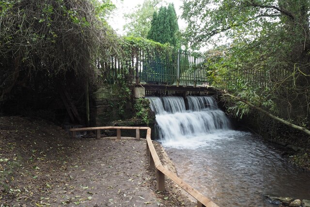
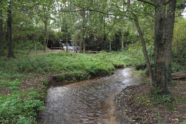
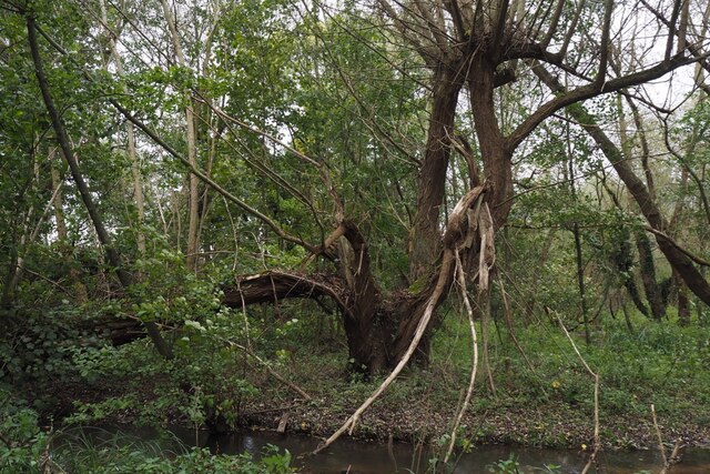
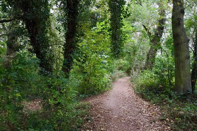
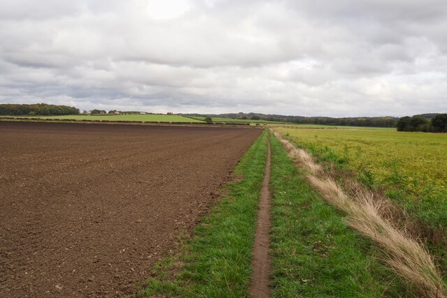
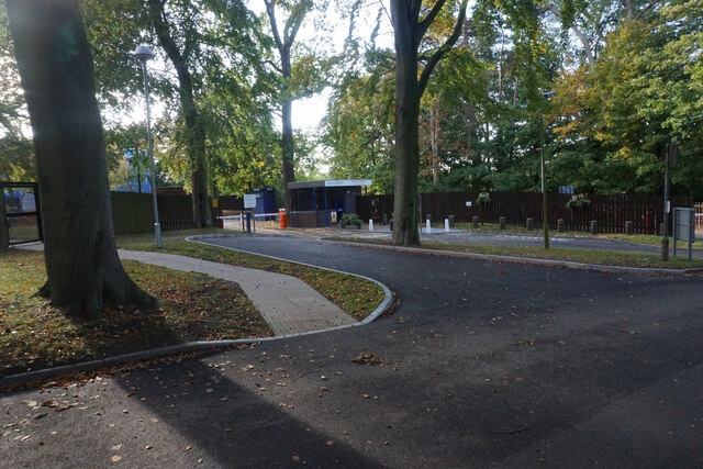
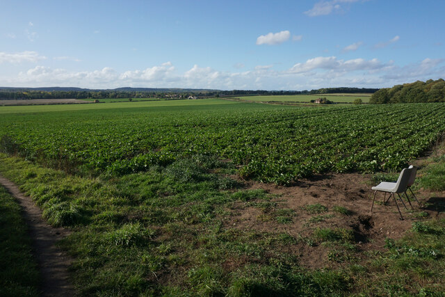
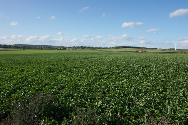
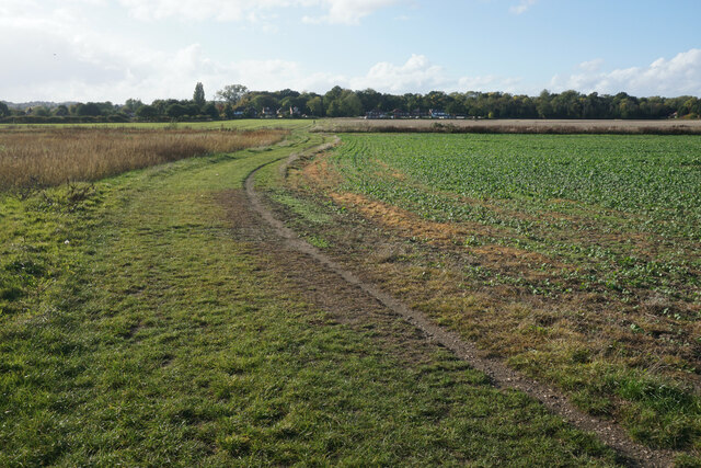
The Duck Ponds, situated in Nottinghamshire, is a picturesque area encompassing a collection of freshwater bodies, including lakes, pools, ponds, and marshes. Spanning over a vast stretch of land, this natural habitat is a haven for various species of ducks, water birds, and other aquatic wildlife.
The main feature of The Duck Ponds is its pristine lakes, which are surrounded by lush greenery and tall trees. These lakes offer a serene and tranquil environment, attracting not only wildlife but also visitors seeking solace in nature. The crystal-clear waters provide a perfect reflection of the surrounding landscape, creating a stunning visual spectacle.
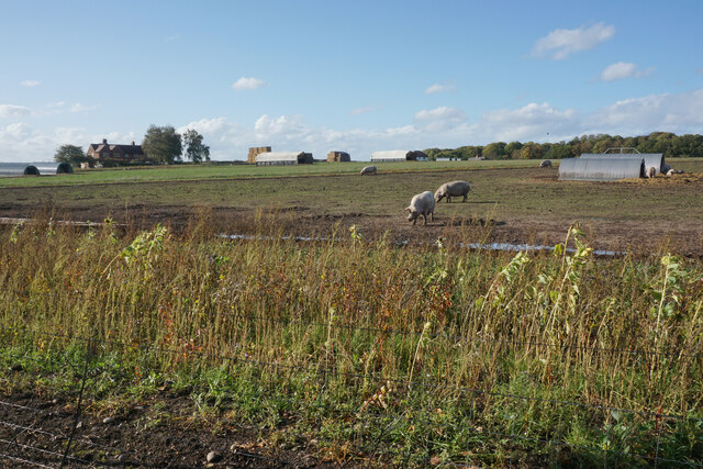
Adjacent to the lakes are several smaller pools and ponds, each with its unique ecosystem. These smaller water bodies host a diverse range of plant life, from water lilies to reeds, providing essential habitats for numerous bird species and aquatic creatures. The interplay of light and shadow on the water's surface adds to the enchanting ambiance of The Duck Ponds.
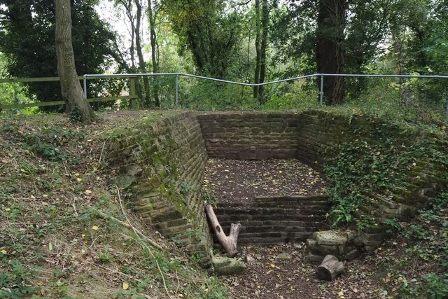
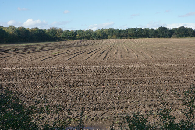
The freshwater marshes found within the area are another integral part of this ecosystem. These marshes, characterized by their waterlogged soil and abundant vegetation, support a variety of wetland species. Visitors can observe and appreciate the unique adaptations of plants and animals that thrive in this specialized environment.
The Duck Ponds in Nottinghamshire offer a captivating experience for nature enthusiasts and photographers alike. The harmonious coexistence of diverse aquatic life, the tranquil setting, and the surrounding natural beauty make it an ideal destination for anyone seeking a peaceful retreat in the heart of nature.
If you have any feedback on the listing, please let us know in the comments section below.
The Duck Ponds Images
Images are sourced within 2km of 53.042969/-1.1700098 or Grid Reference SK5549. Thanks to Geograph Open Source API. All images are credited.


The Duck Ponds is located at Grid Ref: SK5549 (Lat: 53.042969, Lng: -1.1700098)
Administrative County: Nottinghamshire
District: Gedling
Police Authority: Nottinghamshire
What 3 Words
///panther.partly.theory. Near Hucknall, Nottinghamshire
Nearby Locations
Related Wikis

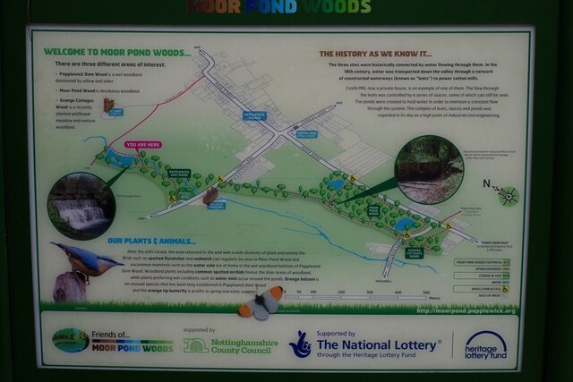
Papplewick
Papplewick is a village and civil parish in Nottinghamshire, England, 7.5 miles (12.1 km) north of Nottingham and 6 miles (9.7 km) south of Mansfield....

Whyburn
The Whyburn (known locally as Town Brook, and by the UK Government as Baker Lane Brook) is the main watercourse flowing through the town of Hucknall in...

Hucknall station
Hucknall station, also formerly known as Hucknall Byron station, is a railway station and tram stop in Hucknall, Nottinghamshire, England. It is located...
Butler's Hill railway station
Butler's Hill railway station was a former station on the Great Northern Railway's Nottingham to Shirebrook line. The station should not be confused with...
Nearby Amenities
Located within 500m of 53.042969,-1.1700098Have you been to The Duck Ponds?
Leave your review of The Duck Ponds below (or comments, questions and feedback).