Digging Copse
Wood, Forest in Oxfordshire Cherwell
England
Digging Copse

Digging Copse is a picturesque woodland located in Oxfordshire, England. Covering an area of approximately 100 acres, it is renowned for its natural beauty and diverse flora and fauna. The copse is situated in a rural area, approximately 10 miles northwest of the city of Oxford.
The woodland is predominantly composed of deciduous trees, including oak, beech, and birch, which create a stunning canopy of foliage during the summer months. The forest floor is carpeted with a variety of wildflowers, such as bluebells and primroses, adding bursts of color to the landscape.
Digging Copse is a haven for wildlife enthusiasts, as it is home to a wide range of animal species. Deer, foxes, badgers, and squirrels are frequently spotted among the trees, while a variety of bird species, including woodpeckers and owls, can be heard and seen throughout the year.
Visitors to Digging Copse can enjoy a network of well-maintained footpaths that meander through the woodland, providing opportunities for peaceful walks and exploration. The copse is also popular among nature photographers and artists, who are drawn to its tranquil atmosphere and natural beauty.
It is important to note that Digging Copse is a protected area, and visitors are encouraged to respect the environment and follow any guidelines or restrictions in place. By doing so, they can help preserve the unique ecosystem and ensure that future generations can continue to enjoy this enchanting woodland.
If you have any feedback on the listing, please let us know in the comments section below.
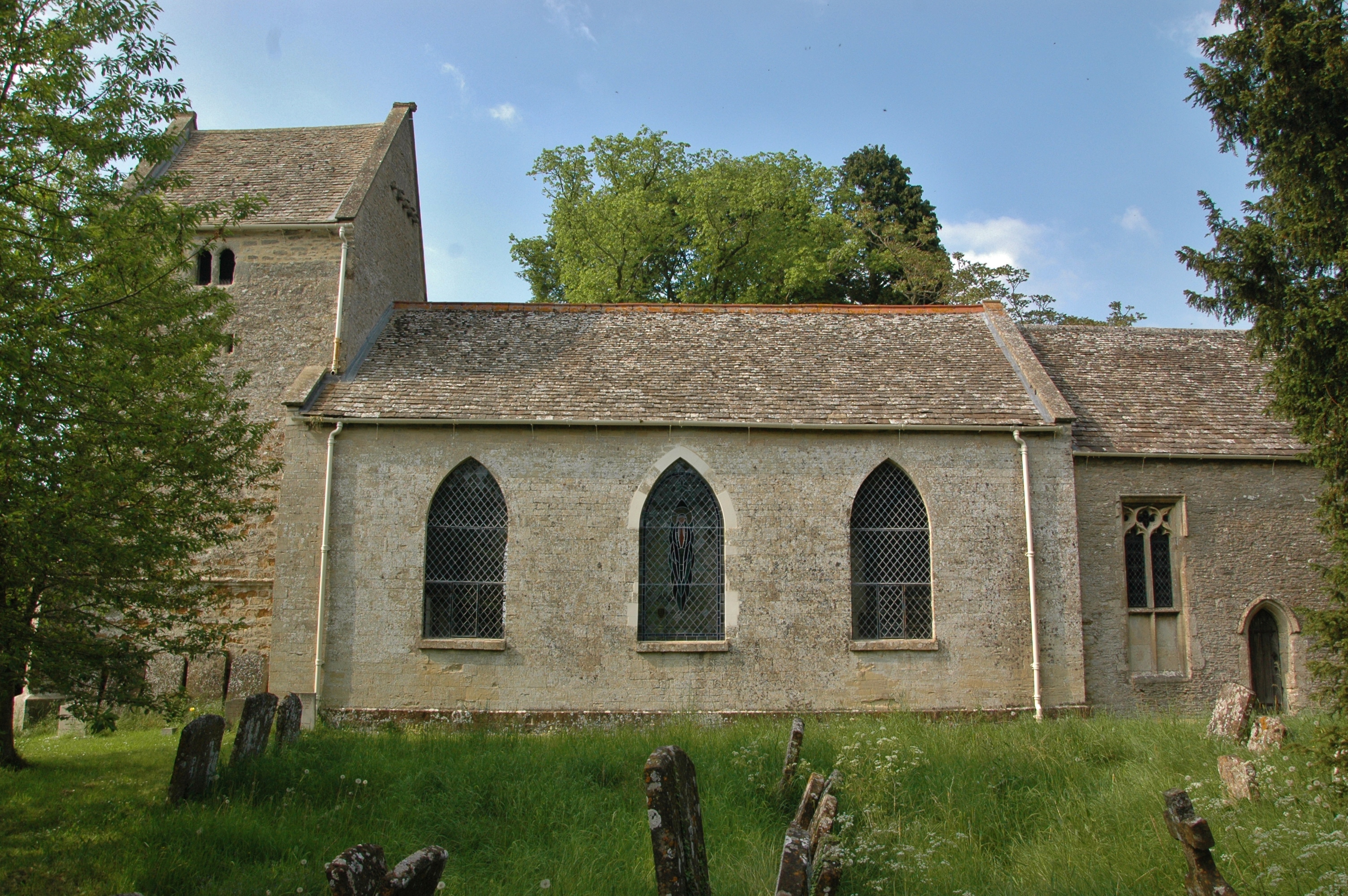
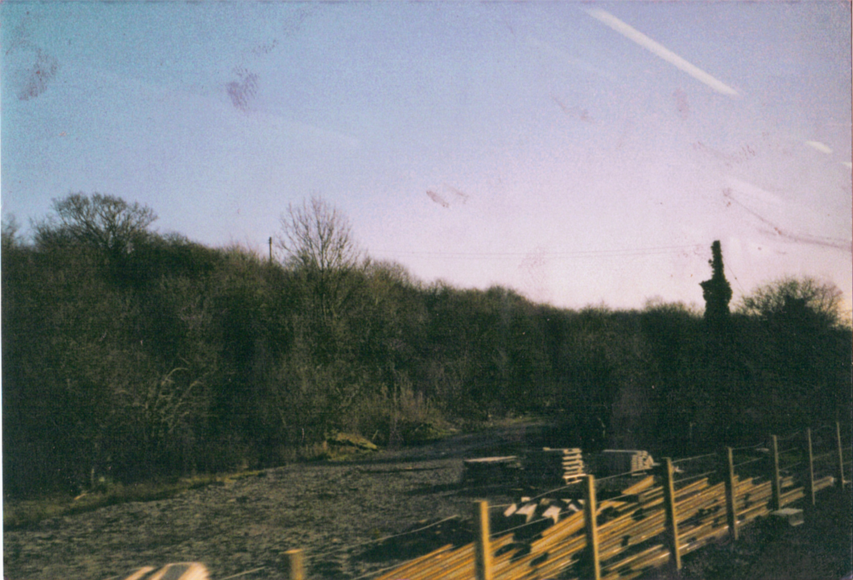
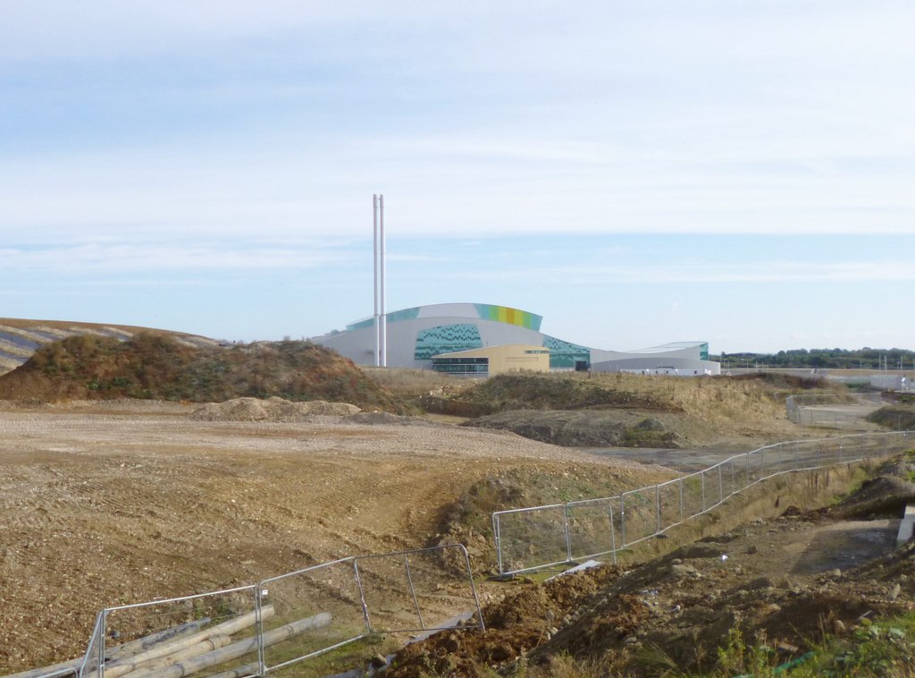
Digging Copse Images
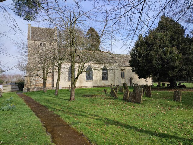
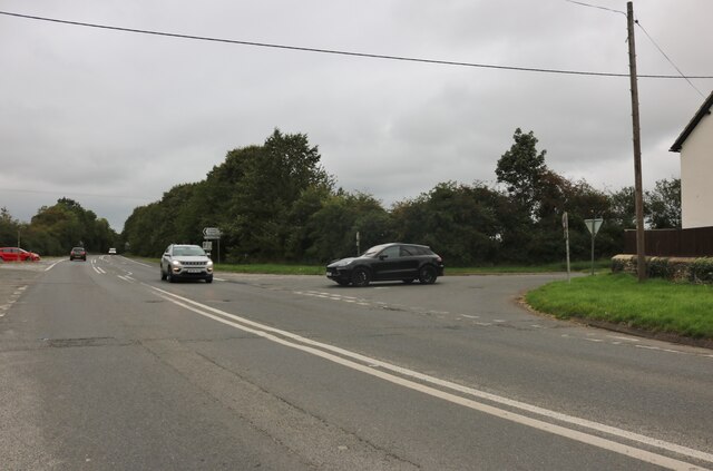
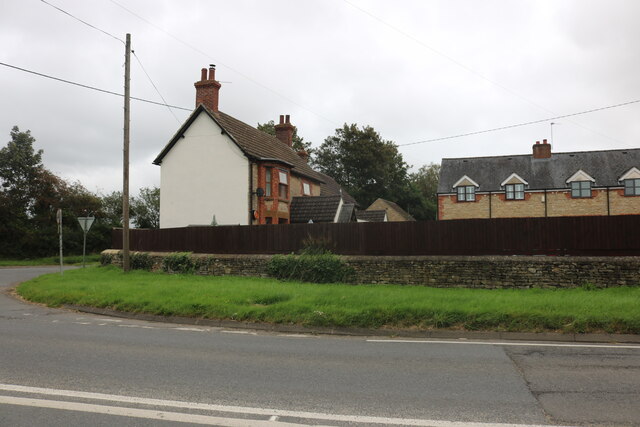
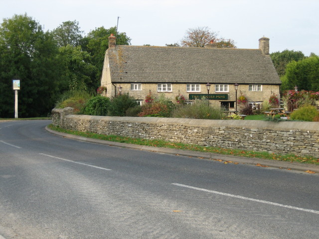
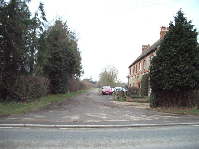
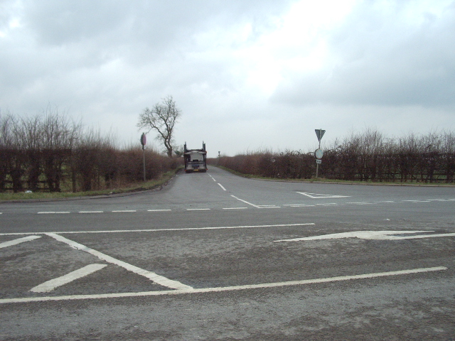
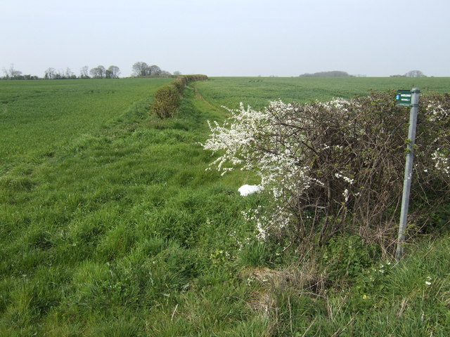
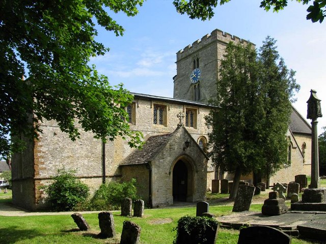
Images are sourced within 2km of 51.931677/-1.1951277 or Grid Reference SP5526. Thanks to Geograph Open Source API. All images are credited.


Digging Copse is located at Grid Ref: SP5526 (Lat: 51.931677, Lng: -1.1951277)
Administrative County: Oxfordshire
District: Cherwell
Police Authority: Thames Valley
What 3 Words
///before.lamp.flop. Near Bicester, Oxfordshire
Nearby Locations
Related Wikis
Bucknell, Oxfordshire
Bucknell is a village and civil parish 2+1⁄2 miles (4 km) northwest of Bicester in Oxfordshire, England. The 2011 Census recorded the parish's population...
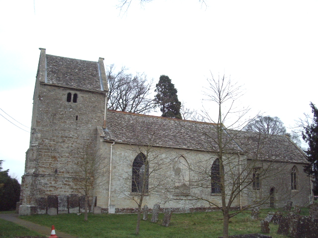
Ardley, Oxfordshire
Ardley is a village and civil parish in Oxfordshire, England, about 4 miles (6.4 km) northwest of Bicester. The parish includes the village of Fewcott...
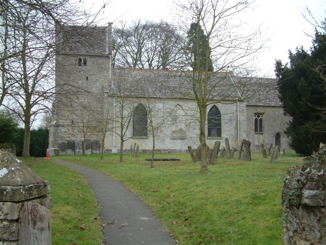
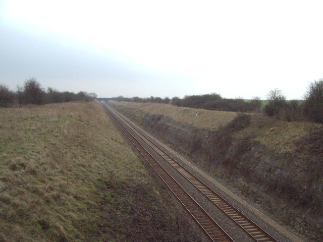
Ardley railway station
Ardley railway station was a railway station serving the village of Ardley in Oxfordshire, England. It was on what is now known as the Chiltern Main Line...
Ardley Trackways
Ardley Trackways is a 63.6-hectare (157-acre) geological Site of Special Scientific Interest north-west of Bicester in Oxfordshire. It is a Geological...

Ardley Castle
Ardley Castle was a castle to the southwest of the village of Ardley, Oxfordshire, England. At present only some of its ruins, most notably an oval enclosure...
Bicester Town F.C.
Bicester Town Football Club is a football club based in Bicester, Oxfordshire, England. == History == The club was established in 1873, a merger of Bicester...
Ardley United F.C.
Ardley United Football Club is a football club based in Ardley, near Bicester in Oxfordshire, England. They are members of the Combined Counties League...

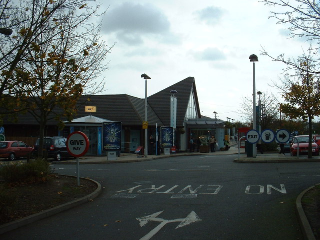
Cherwell Valley services
Cherwell Valley services is a motorway service station on the M40 motorway at Stoke Lyne, near Bicester, in Oxfordshire, England. In August 2011 it was...
Nearby Amenities
Located within 500m of 51.931677,-1.1951277Have you been to Digging Copse?
Leave your review of Digging Copse below (or comments, questions and feedback).