Colonel's Covert

Wood, Forest in Nottinghamshire Rushcliffe

England

Colonel's Covert

A6006 eastbound
A6006 eastbound Credit: Alex McGregor

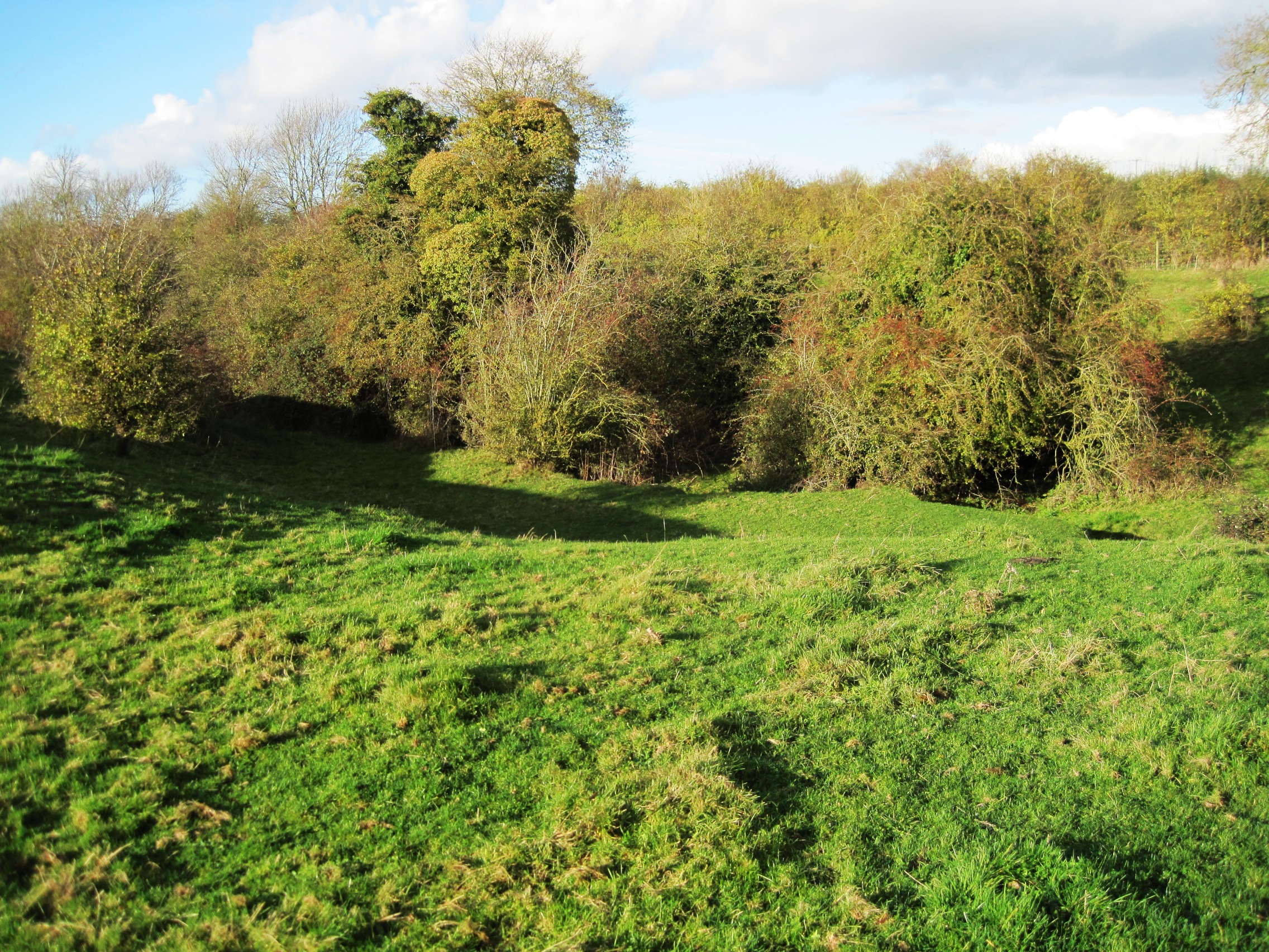
Colonel's Covert is a picturesque woodland area located in Nottinghamshire, England. Situated amidst the rolling hills and lush greenery, this forested paradise offers a serene and peaceful retreat for nature enthusiasts and avid hikers alike.

Covering an area of approximately 100 acres, Colonel's Covert is known for its dense and diverse vegetation, with a vast array of trees including oak, beech, and birch. The forest floor is adorned with a carpet of wildflowers, creating a vibrant and colorful landscape during the spring and summer months.

The woodland is crisscrossed with a network of well-maintained trails, making it an ideal destination for outdoor activities such as walking, jogging, and cycling. These trails cater to individuals of all fitness levels, providing both gentle strolls and more challenging routes for those seeking a more adventurous experience. Along the way, visitors may encounter various species of wildlife, including deer, squirrels, and a wide variety of birds.

For those who prefer a more leisurely visit, Colonel's Covert offers several designated picnic spots and rest areas, allowing visitors to relax and immerse themselves in the tranquil surroundings. The forest also features a small stream that meanders through the woodland, adding to its natural charm.

Colonel's Covert is easily accessible, with ample parking available for visitors. The forest is open year-round, providing a different experience in each season, from the vibrant colors of autumn to the peaceful stillness of winter.

Overall, Colonel's Covert is a hidden gem in Nottinghamshire, offering a haven of natural beauty and tranquility for those seeking solace in nature's embrace.

If you have any feedback on the listing, please let us know in the comments section below.

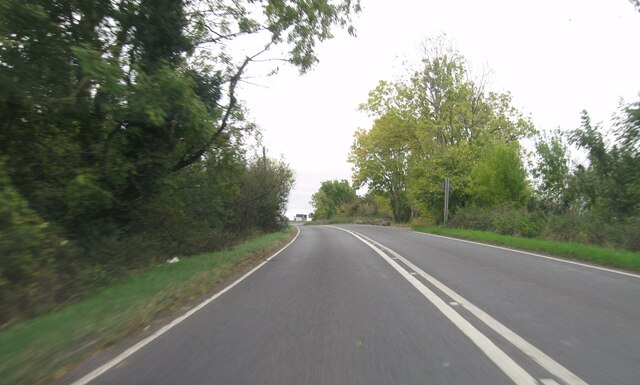
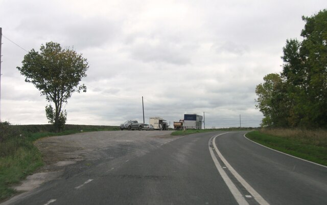
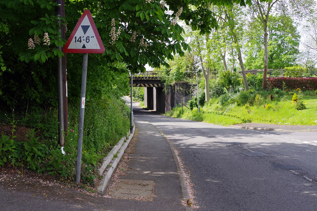
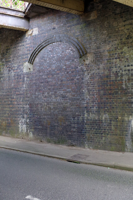
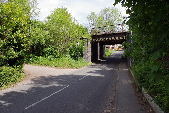
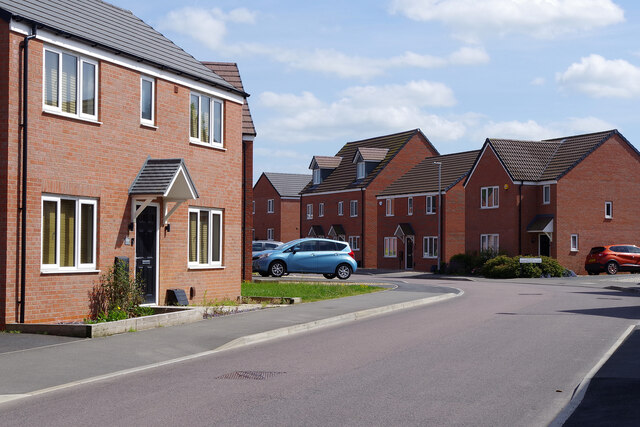
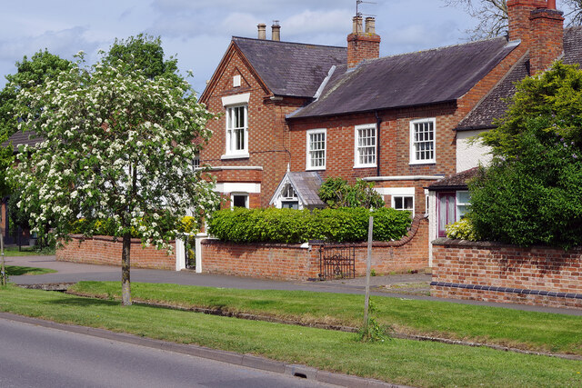
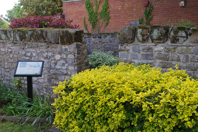
Colonel's Covert Images

Images are sourced within 2km of 52.814719/-1.1809508 or Grid Reference SK5524. Thanks to Geograph Open Source API. All images are credited.

A6006 eastbound
A6006 eastbound
A6006 eastbound
A6006 eastbound
A6006 eastbound
A6006 eastbound
A6006 eastbound
A6006 eastbound
A6006 eastbound
A6006 eastbound
A6006 eastbound
A6006 eastbound
A6006 eastbound
A6006 eastbound
A6006 eastbound
A6006 eastbound
Permanent closure, junction of Rempstone Road/Loughborough Road Original crossroad changed into a T junction for road safety reasons.
Permanent closure, junction of Rempstone Road/Loughborough Road
Original crossroad changed into a T junction for road safety reasons.
Snow on the Wolds – 1979 A South Notts bus heads towards Nottingham after the heavy snowfall in February 1979. Services had been seriously disrupted until roads were ploughed clear. This is one of a series of views featuring buses in the 60s, 70s, and 80s. <a title="https://www.geograph.org.uk/search.php?i=137652761" href="https://www.geograph.org.uk/search.php?i=137652761">Link</a>
Snow on the Wolds – 1979
A South Notts bus heads towards Nottingham after the heavy snowfall in February 1979. Services had been seriously disrupted until roads were ploughed clear. This is one of a series of views featuring buses in the 60s, 70s, and 80s. Link
East Leake Church  St Mary's serves as the parish church in this large south Nottinghamshire village. It is of Norman origin but much of the work dates from the late medieval period. The clerestory and the tower battlements were added in the 15th century. A major restoration was undertaken in 1886 when the chancel was largely rebuilt. It is grade I listed.
East Leake Church
St Mary's serves as the parish church in this large south Nottinghamshire village. It is of Norman origin but much of the work dates from the late medieval period. The clerestory and the tower battlements were added in the 15th century. A major restoration was undertaken in 1886 when the chancel was largely rebuilt. It is grade I listed.
Station Road, East Leake Ahead is the bridge carrying the old Great Central Railway over Station Road. This was the site of East Leake station which closed in 1969.
Station Road, East Leake
Ahead is the bridge carrying the old Great Central Railway over Station Road. This was the site of East Leake station which closed in 1969.
East Leake Station - bricked up entrance A feature of the Great Central Railway's London extension was the use of island platforms at most of its stations. These were accessed from a road bridge - in most cases where the road crossed over the railway, but sometimes, as here at East Leake, where the road passed underneath. The larger stations had a booking office at road level but elsewhere steps gave access to a booking office on the platform. East Leake station closed in 1969 and the entrance has since been bricked up. Proposals to reopen it as a heritage station have been opposed locally, a principal reason being the difficulties of access directly off a busy road.
East Leake Station - bricked up entrance
A feature of the Great Central Railway's London extension was the use of island platforms at most of its stations. These were accessed from a road bridge - in most cases where the road crossed over the railway, but sometimes, as here at East Leake, where the road passed underneath. The larger stations had a booking office at road level but elsewhere steps gave access to a booking office on the platform. East Leake station closed in 1969 and the entrance has since been bricked up. Proposals to reopen it as a heritage station have been opposed locally, a principal reason being the difficulties of access directly off a busy road.
Station Road, East Leake West Leake Road becomes Station Road just before the railway bridge where Birch Lea leads off to the left. The entrance to the station, which closed in 1969, was under the bridge but is now bricked off. The railway above survived, and is still in situ, to give access for freight trains to the British Gypsum works at Hotchley Hill. It will become part of a heritage line running south from Ruddington and connecting with the Great Central Railway at Loughborough.
Station Road, East Leake
West Leake Road becomes Station Road just before the railway bridge where Birch Lea leads off to the left. The entrance to the station, which closed in 1969, was under the bridge but is now bricked off. The railway above survived, and is still in situ, to give access for freight trains to the British Gypsum works at Hotchley Hill. It will become part of a heritage line running south from Ruddington and connecting with the Great Central Railway at Loughborough.
Sycamore Road, East Leake East Leake is a village that grew rapidly in the second half of the 20th century and continues to do so; the population at the 2011 census was 6,337. The houses here, built around 1970, are typical of much of the housing stock to the south-west of the village centre.
Sycamore Road, East Leake
East Leake is a village that grew rapidly in the second half of the 20th century and continues to do so; the population at the 2011 census was 6,337. The houses here, built around 1970, are typical of much of the housing stock to the south-west of the village centre.
Sheepwash Way, East Leake Modern housing development on the edge of East Leake village. There is very much a 'could be anywhere' feel about this street.
Sheepwash Way, East Leake
Modern housing development on the edge of East Leake village. There is very much a 'could be anywhere' feel about this street.
The Old Rectory, East Leake This old house on Brookside is located near the church (as the name implies). It was formerly known as the Vicarage House and has given its modern name to a nearby short cul-de-sac, Old Rectory Close.
The Old Rectory, East Leake
This old house on Brookside is located near the church (as the name implies). It was formerly known as the Vicarage House and has given its modern name to a nearby short cul-de-sac, Old Rectory Close.
The pinfold, East Leake A pinfold was a walled enclosure used for holding stray animals until their owners could reclaim them. Surviving examples are fairly rare but this one in the centre of East Leake village, which is believed to be of 18th century origin, was restored in 1980 and is grade II listed.
The pinfold, East Leake
A pinfold was a walled enclosure used for holding stray animals until their owners could reclaim them. Surviving examples are fairly rare but this one in the centre of East Leake village, which is believed to be of 18th century origin, was restored in 1980 and is grade II listed.
Show me another place!

Colonel's Covert is located at Grid Ref: SK5524 (Lat: 52.814719, Lng: -1.1809508)

Administrative County: Nottinghamshire

District: Rushcliffe

Police Authority: Nottinghamshire

What 3 Words

///ironic.jumps.outnumber. Near East Leake, Nottinghamshire

Related Wikis

Leake Rural District

Leake was a rural district in Nottinghamshire, England from 1894 to 1935. It was formed from the Nottinghamshire part of the Loughborough rural sanitary...

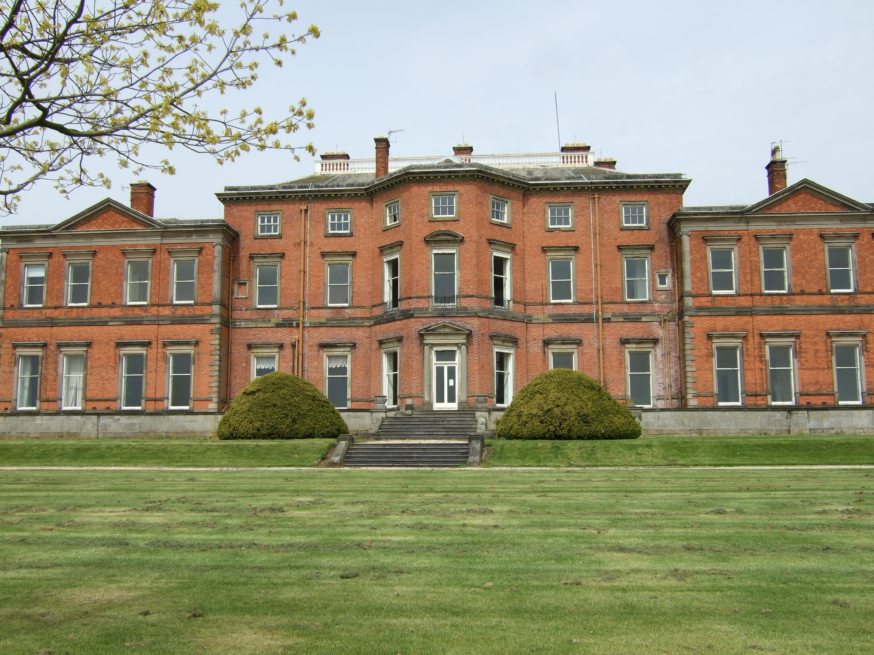
Stanford Hall, Nottinghamshire

Stanford Hall is a grade II* listed 18th-century English country house in Nottinghamshire, England, in Stanford on Soar just north of Loughborough. It...

Wymeswold Meadows

Wymeswold Meadows is a 4.5-hectare (11-acre) nature reserve east of Wymeswold in Leicestershire. It is owned and managed by the Leicestershire and Rutland...

St Mary's Church, East Leake

St Mary's Church is a parish church in the Church of England in East Leake, Nottinghamshire. The church is Grade I listed by the Department for Digital...

Nearby Amenities

Located within 500m of 52.814719,-1.1809508
Bus Stop
Melton Road
Both Ways: yes
Bus: yes
Local Ref: RU0398
Naptan AtcoCode: 3300RU0398
Naptan Bearing: NE
Naptan CommonName: Melton Road
Naptan Crossing: Melton Road
Naptan Indicator: NE-bound
Naptan NaptanCode: ntsajpap
Naptan Notes: BW
Naptan Street: Loughborough Road
Naptan Verified: yes
Public Transport: platform
Shelter: no
Source: naptan_import
Lat/Long: 52.8144977/-1.1800095
Bus Stop
Melton Road
Bus: yes
Naptan AtcoCode: 3300RU0711
Naptan Bearing: SW
Naptan BusStopType: CUS
Naptan CommonName: Melton Road
Naptan Crossing: Melton Road
Naptan Indicator: SW-bound
Naptan NaptanCode: ntsgjtpd
Naptan Notes: 3300RU0398
Naptan Street: Loughborough Road
Naptan Verified: no
Public Transport: platform
Source: naptan_import
Lat/Long: 52.8145416/-1.1798603
Barrier: stile
Lat/Long: 52.8141641/-1.1823672
Source: Bing
Lat/Long: 52.814357/-1.175163
Crossing
Kerb: lowered
Tactile Paving: yes
Lat/Long: 52.8145272/-1.1799259
Crossing
Kerb: lowered
Tactile Paving: yes
Lat/Long: 52.8142365/-1.180089
Crossing
Crossing: unmarked
Kerb: lowered
Tactile Paving: no
Lat/Long: 52.8140777/-1.1818124
The data included in this document is from www.openstreetmap.org. The data is made available under ODbL.

Have you been to Colonel's Covert?

Leave your review of Colonel's Covert below (or comments, questions and feedback).