Brickyard Spinney

Wood, Forest in Nottinghamshire Rushcliffe

England

Brickyard Spinney

East Leake This is the edge of East Leake, which is a much larger village than West Leake.
East Leake Credit: Malcolm Neal

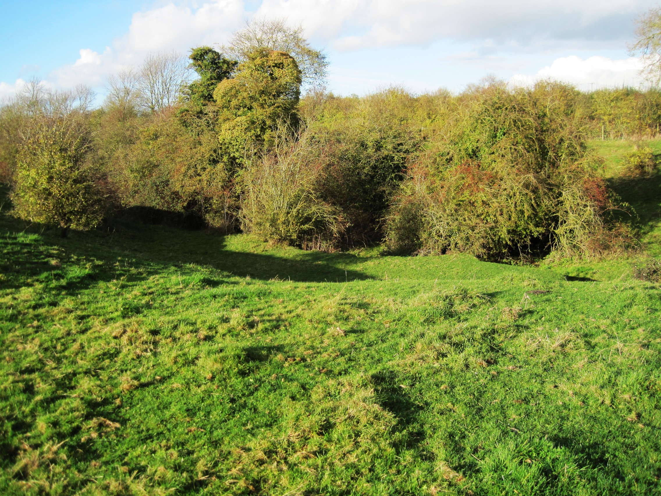
Brickyard Spinney is a charming woodland area located in Nottinghamshire, England. Situated in the heart of the county, this small but picturesque forest is a haven for nature enthusiasts and those seeking a tranquil escape from the bustling city life.

Covering an area of approximately 20 acres, Brickyard Spinney is predominantly composed of various species of broadleaf trees, including oak, ash, and beech, which create a dense and vibrant canopy overhead. The forest floor is carpeted with a rich assortment of flora, such as bluebells, primroses, and wood anemones, adding to the area's natural beauty.

The woodland is crisscrossed by a network of well-maintained footpaths, allowing visitors to explore its nooks and crannies at their own pace. Along these paths, one can encounter a diverse array of wildlife, including foxes, badgers, and an abundance of bird species. Birdwatchers will be particularly delighted by the presence of woodpeckers, nuthatches, and tawny owls, among others.

Brickyard Spinney is not only a haven for wildlife but also offers recreational opportunities. It features a picnic area, where visitors can relax and enjoy a meal surrounded by the serene ambiance of the forest. Additionally, the forest is a popular spot for walking, jogging, and dog walking, providing a peaceful escape for locals and tourists alike.

In conclusion, Brickyard Spinney is a small yet enchanting woodland area in Nottinghamshire. With its diverse flora and fauna, well-maintained paths, and recreational amenities, it offers a delightful experience for nature lovers and those seeking a respite from the urban hustle and bustle.

If you have any feedback on the listing, please let us know in the comments section below.

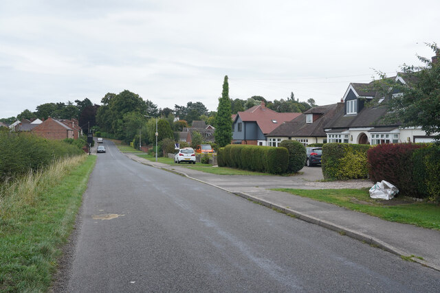
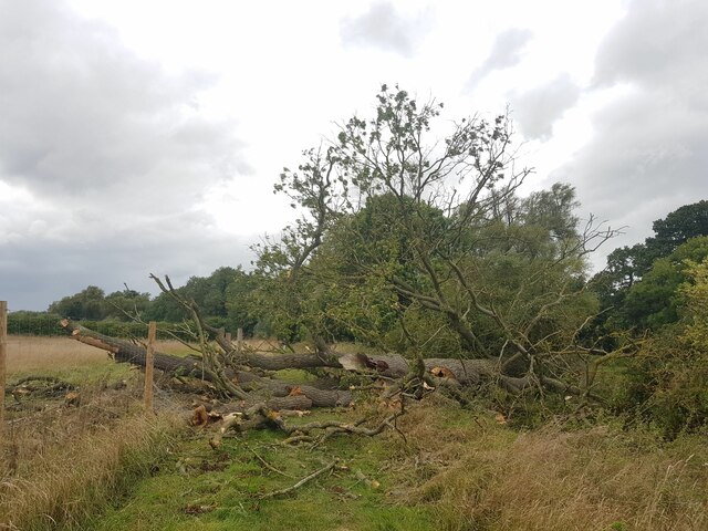
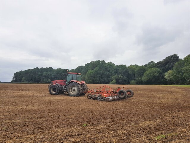
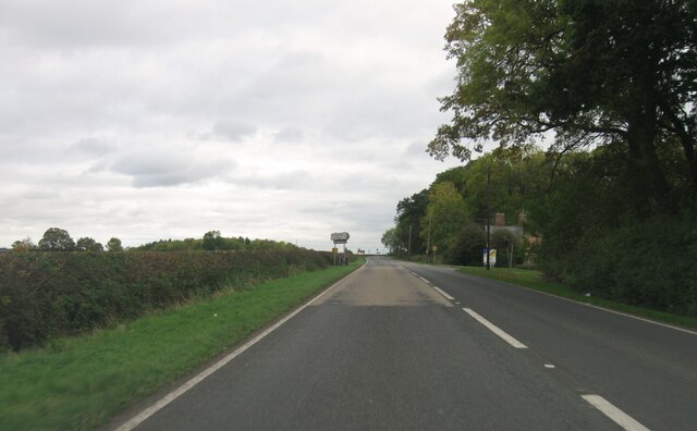
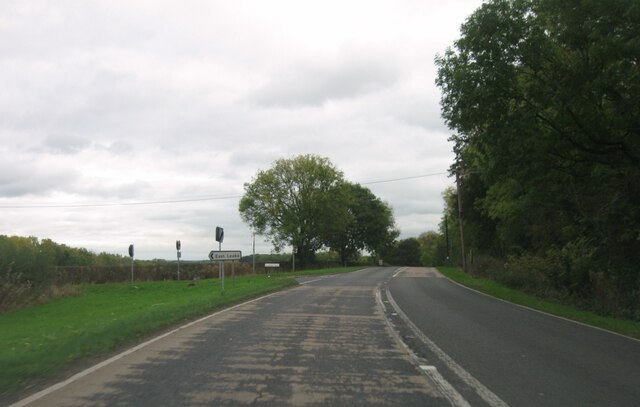
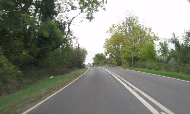
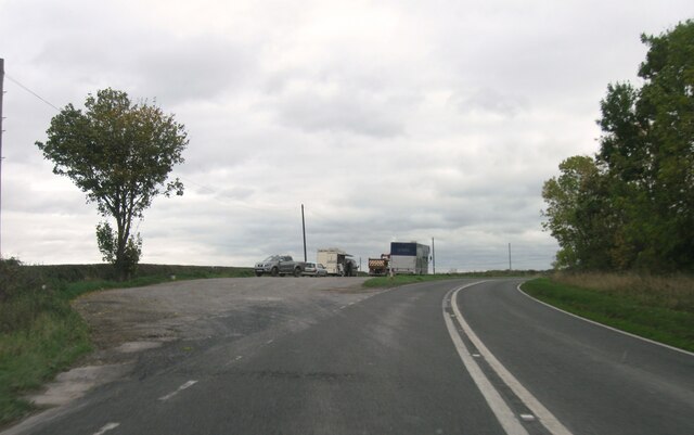
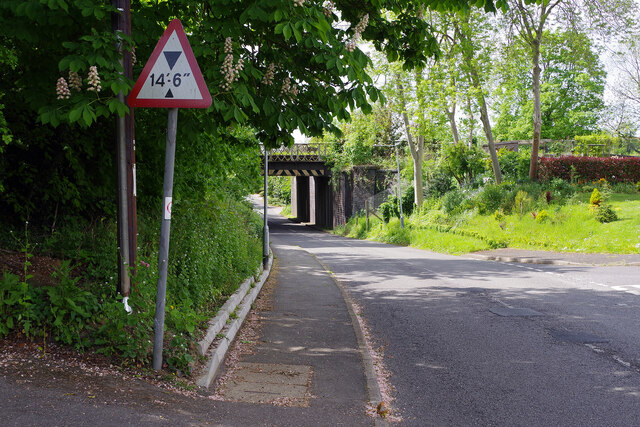
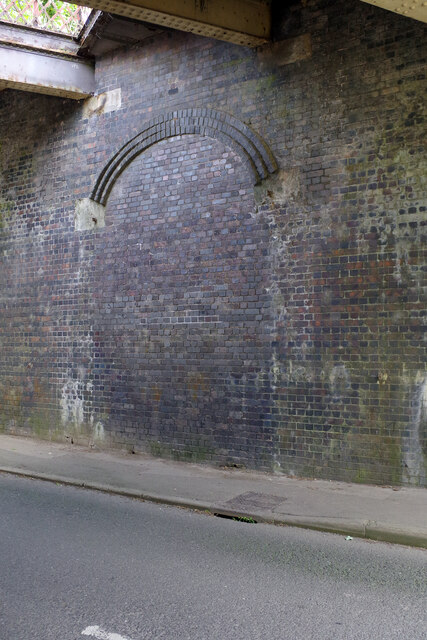
Brickyard Spinney Images

Images are sourced within 2km of 52.816918/-1.1843074 or Grid Reference SK5524. Thanks to Geograph Open Source API. All images are credited.

East Leake This is the edge of East Leake, which is a much larger village than West Leake.
East Leake
This is the edge of East Leake, which is a much larger village than West Leake.
Fallen ash by King's Brook
Harrowing on the flank of the Hoton Hills Seems to be doing a second pass
Harrowing on the flank of the Hoton Hills
Seems to be doing a second pass
A6006 eastbound
A6006 eastbound
A6006 eastbound
A6006 eastbound
A6006 eastbound
A6006 eastbound
A6006 eastbound
A6006 eastbound
A6006 eastbound
A6006 eastbound
A6006 eastbound
A6006 eastbound
A6006 eastbound
A6006 eastbound
A6006 eastbound
A6006 eastbound
A6006 eastbound
A6006 eastbound
A6006 eastbound
A6006 eastbound
Permanent closure, junction of Rempstone Road/Loughborough Road Original crossroad changed into a T junction for road safety reasons.
Permanent closure, junction of Rempstone Road/Loughborough Road
Original crossroad changed into a T junction for road safety reasons.
Snow on the Wolds – 1979 A South Notts bus heads towards Nottingham after the heavy snowfall in February 1979. Services had been seriously disrupted until roads were ploughed clear. This is one of a series of views featuring buses in the 60s, 70s, and 80s. <a title="https://www.geograph.org.uk/search.php?i=137652761" href="https://www.geograph.org.uk/search.php?i=137652761">Link</a>
Snow on the Wolds – 1979
A South Notts bus heads towards Nottingham after the heavy snowfall in February 1979. Services had been seriously disrupted until roads were ploughed clear. This is one of a series of views featuring buses in the 60s, 70s, and 80s. Link
East Leake Church  St Mary's serves as the parish church in this large south Nottinghamshire village. It is of Norman origin but much of the work dates from the late medieval period. The clerestory and the tower battlements were added in the 15th century. A major restoration was undertaken in 1886 when the chancel was largely rebuilt. It is grade I listed.
East Leake Church
St Mary's serves as the parish church in this large south Nottinghamshire village. It is of Norman origin but much of the work dates from the late medieval period. The clerestory and the tower battlements were added in the 15th century. A major restoration was undertaken in 1886 when the chancel was largely rebuilt. It is grade I listed.
Station Road, East Leake Ahead is the bridge carrying the old Great Central Railway over Station Road. This was the site of East Leake station which closed in 1969.
Station Road, East Leake
Ahead is the bridge carrying the old Great Central Railway over Station Road. This was the site of East Leake station which closed in 1969.
East Leake Station - bricked up entrance A feature of the Great Central Railway's London extension was the use of island platforms at most of its stations. These were accessed from a road bridge - in most cases where the road crossed over the railway, but sometimes, as here at East Leake, where the road passed underneath. The larger stations had a booking office at road level but elsewhere steps gave access to a booking office on the platform. East Leake station closed in 1969 and the entrance has since been bricked up. Proposals to reopen it as a heritage station have been opposed locally, a principal reason being the difficulties of access directly off a busy road.
East Leake Station - bricked up entrance
A feature of the Great Central Railway's London extension was the use of island platforms at most of its stations. These were accessed from a road bridge - in most cases where the road crossed over the railway, but sometimes, as here at East Leake, where the road passed underneath. The larger stations had a booking office at road level but elsewhere steps gave access to a booking office on the platform. East Leake station closed in 1969 and the entrance has since been bricked up. Proposals to reopen it as a heritage station have been opposed locally, a principal reason being the difficulties of access directly off a busy road.
Show me another place!

Brickyard Spinney is located at Grid Ref: SK5524 (Lat: 52.816918, Lng: -1.1843074)

Administrative County: Nottinghamshire

District: Rushcliffe

Police Authority: Nottinghamshire

What 3 Words

///everybody.these.occurs. Near East Leake, Nottinghamshire

Related Wikis

Leake Rural District

Leake was a rural district in Nottinghamshire, England from 1894 to 1935. It was formed from the Nottinghamshire part of the Loughborough rural sanitary...

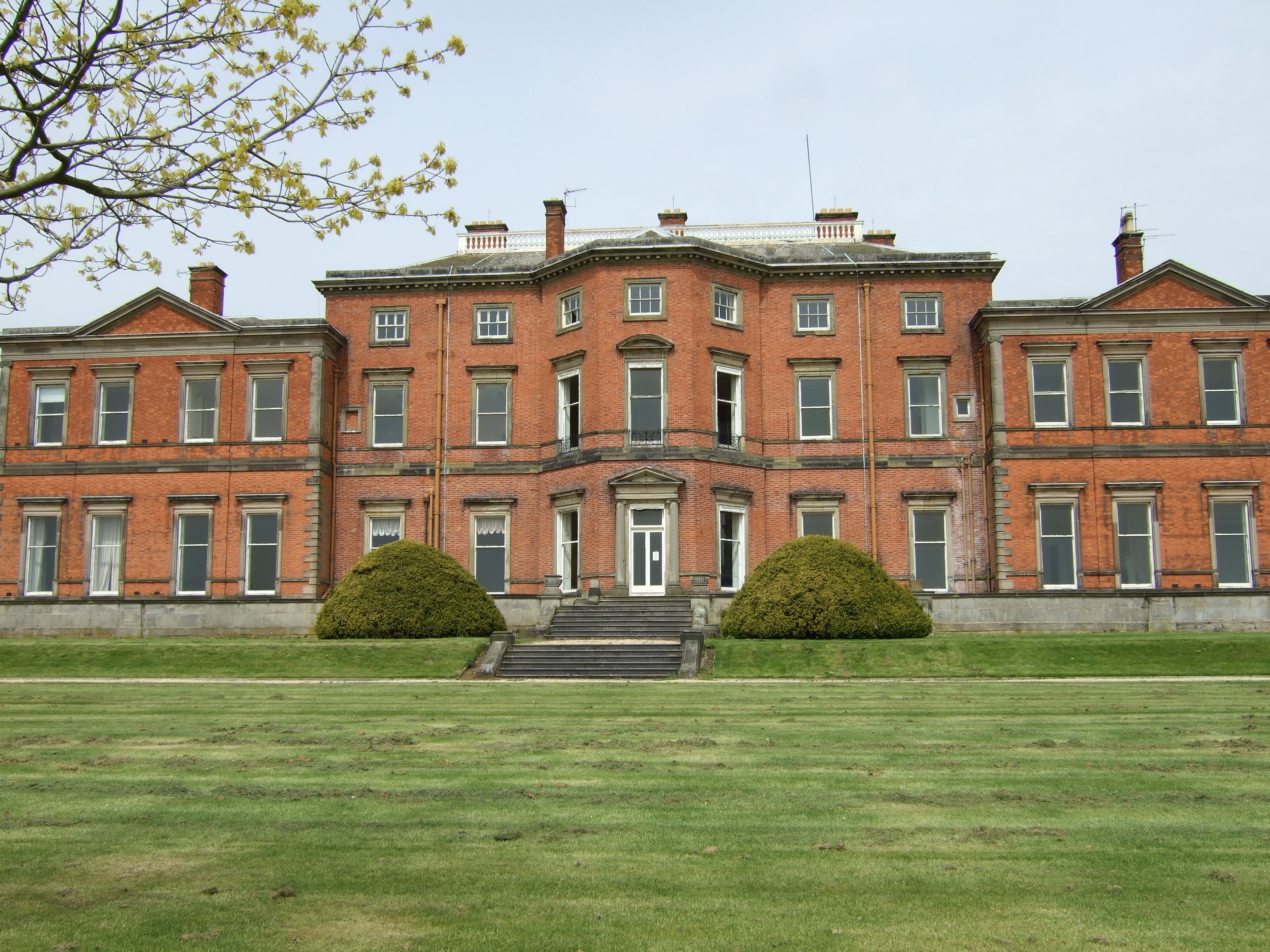
Stanford Hall, Nottinghamshire

Stanford Hall is a grade II* listed 18th-century English country house in Nottinghamshire, England, in Stanford on Soar just north of Loughborough. It...

St Mary's Church, East Leake

St Mary's Church is a parish church in the Church of England in East Leake, Nottinghamshire. The church is Grade I listed by the Department for Digital...

East Leake railway station

East Leake railway station is a former railway station serving East Leake, Nottinghamshire and is the only surviving Great Central Railway station accessed...

Wymeswold Meadows

Wymeswold Meadows is a 4.5-hectare (11-acre) nature reserve east of Wymeswold in Leicestershire. It is owned and managed by the Leicestershire and Rutland...

East Leake

East Leake () is a large village and civil parish in the Rushcliffe district of Nottinghamshire, England, although its closest town and postal address...
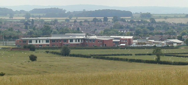
East Leake Academy

East Leake Academy is an academy located in East Leake in the Rushcliffe area of Nottinghamshire, England. The school describes itself as specialising...

All Saints' Church, Rempstone

All Saints' Church, Rempstone is a parish church in the Church of England in Rempstone, Nottinghamshire. The church is Grade II listed by the Department...

Nearby Amenities

Located within 500m of 52.816918,-1.1843074
Bus Stop
Melton Road
Both Ways: yes
Bus: yes
Local Ref: RU0398
Naptan AtcoCode: 3300RU0398
Naptan Bearing: NE
Naptan CommonName: Melton Road
Naptan Crossing: Melton Road
Naptan Indicator: NE-bound
Naptan NaptanCode: ntsajpap
Naptan Notes: BW
Naptan Street: Loughborough Road
Naptan Verified: yes
Public Transport: platform
Shelter: no
Source: naptan_import
Lat/Long: 52.8144977/-1.1800095
Bus Stop
Melton Road
Bus: yes
Naptan AtcoCode: 3300RU0711
Naptan Bearing: SW
Naptan BusStopType: CUS
Naptan CommonName: Melton Road
Naptan Crossing: Melton Road
Naptan Indicator: SW-bound
Naptan NaptanCode: ntsgjtpd
Naptan Notes: 3300RU0398
Naptan Street: Loughborough Road
Naptan Verified: no
Public Transport: platform
Source: naptan_import
Lat/Long: 52.8145416/-1.1798603
Barrier: stile
Lat/Long: 52.8141641/-1.1823672
Crossing
Kerb: lowered
Tactile Paving: yes
Lat/Long: 52.8145272/-1.1799259
Crossing
Kerb: lowered
Tactile Paving: yes
Lat/Long: 52.8142365/-1.180089
Crossing
Crossing: unmarked
Kerb: lowered
Tactile Paving: no
Lat/Long: 52.8140777/-1.1818124
The data included in this document is from www.openstreetmap.org. The data is made available under ODbL.

Have you been to Brickyard Spinney?

Leave your review of Brickyard Spinney below (or comments, questions and feedback).