Hazely Copse
Wood, Forest in Hampshire Basingstoke and Deane
England
Hazely Copse
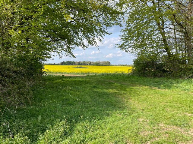
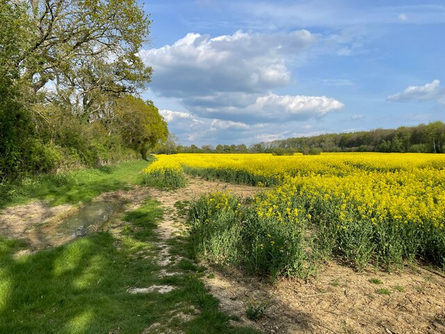
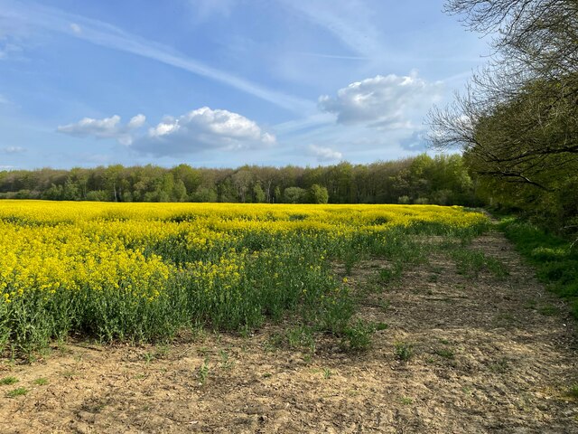
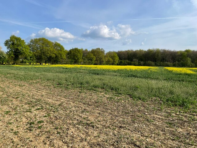
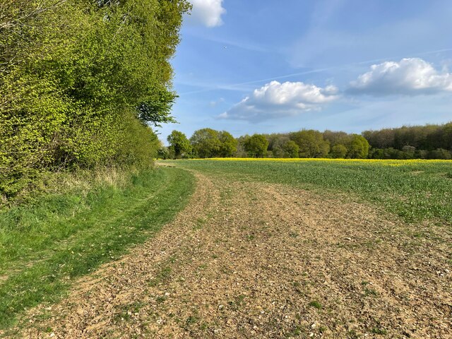
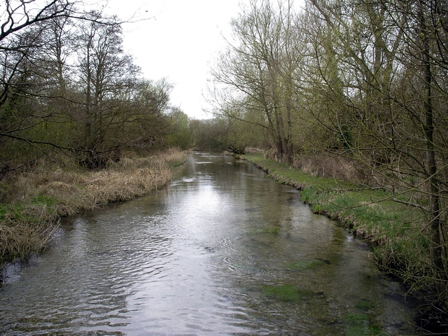
Hazely Copse is a stunning woodland located in Hampshire, England. Spanning over an area of approximately 60 acres, it is a popular destination for nature enthusiasts and locals alike. The copse is situated near the village of Kingsclere, offering a tranquil retreat from the bustling city life.
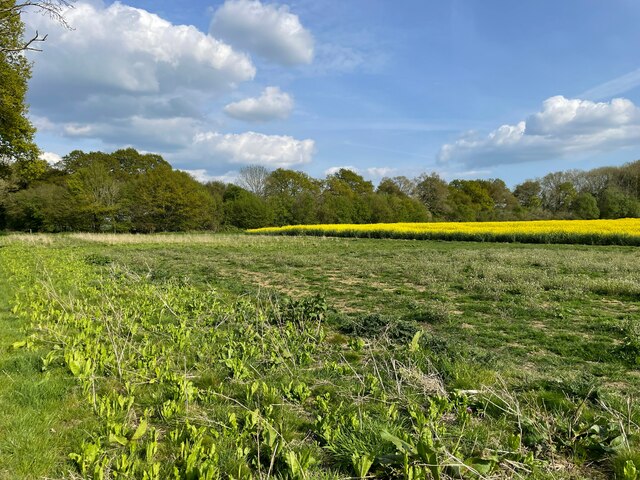
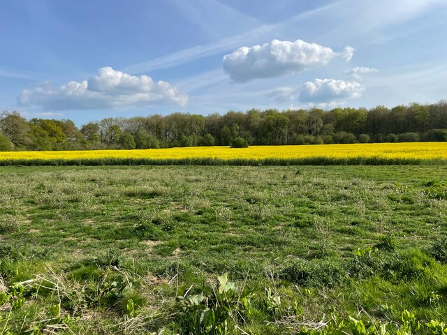
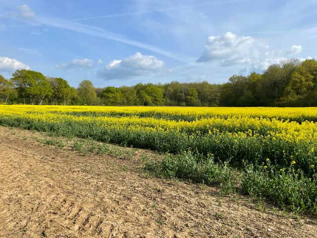
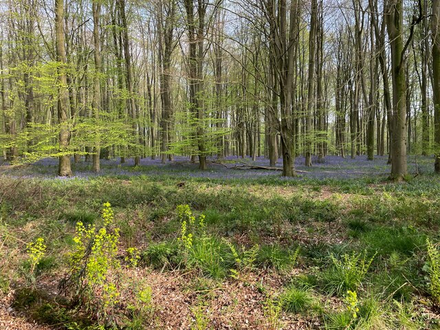
The woodland is characterized by its diverse range of tree species, including oak, beech, and birch. These towering trees create a dense canopy, providing shade and shelter for an array of wildlife. Various bird species such as woodpeckers, nuthatches, and jays can be spotted flitting between the branches, while small mammals like rabbits and squirrels scurry through the undergrowth.
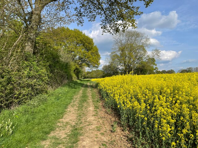
Hazely Copse is also home to a variety of plant species, which carpet the forest floor with vibrant colors during the spring and summer months. Bluebells, primroses, and wild garlic are just a few examples of the beautiful flowers that bloom in this woodland.
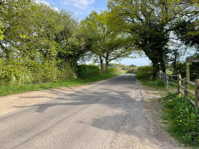
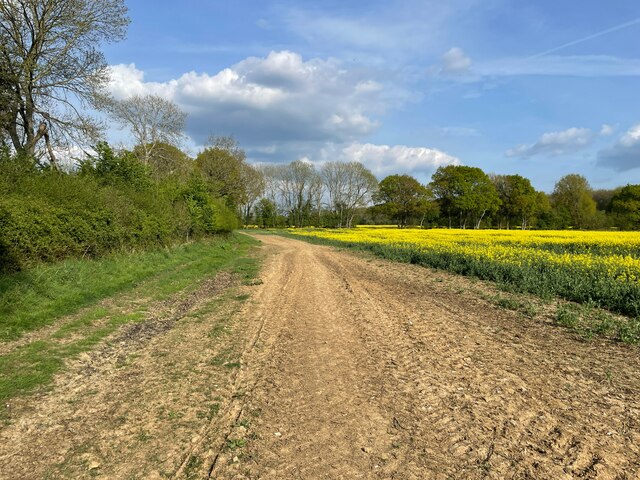
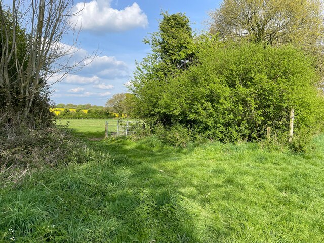
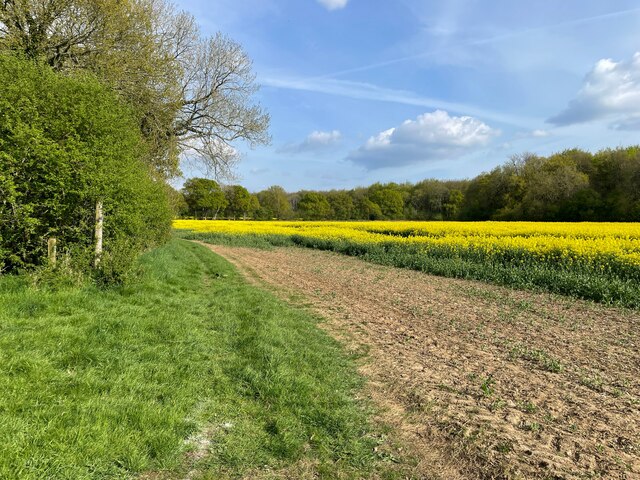
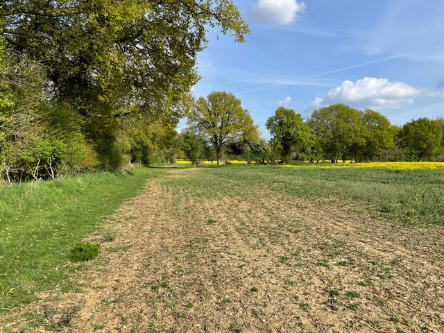
The copse is crisscrossed by several footpaths and trails, allowing visitors to explore its natural beauty at their own pace. These pathways wind through the trees, offering glimpses of picturesque vistas and hidden clearings along the way. The tranquility of the woodland, coupled with the soothing sounds of birdsong and rustling leaves, creates a peaceful ambiance that attracts walkers, joggers, and photographers.
Overall, Hazely Copse is a captivating woodland that offers a wonderful escape into nature. Its rich biodiversity, picturesque scenery, and peaceful atmosphere make it a must-visit destination for anyone seeking solace in the heart of Hampshire.
If you have any feedback on the listing, please let us know in the comments section below.
Hazely Copse Images
Images are sourced within 2km of 51.15579/-1.2106846 or Grid Reference SU5539. Thanks to Geograph Open Source API. All images are credited.


Hazely Copse is located at Grid Ref: SU5539 (Lat: 51.15579, Lng: -1.2106846)
Administrative County: Hampshire
District: Basingstoke and Deane
Police Authority: Hampshire
What 3 Words
///grownup.flexibly.cherished. Near New Alresford, Hampshire
Nearby Locations
Related Wikis
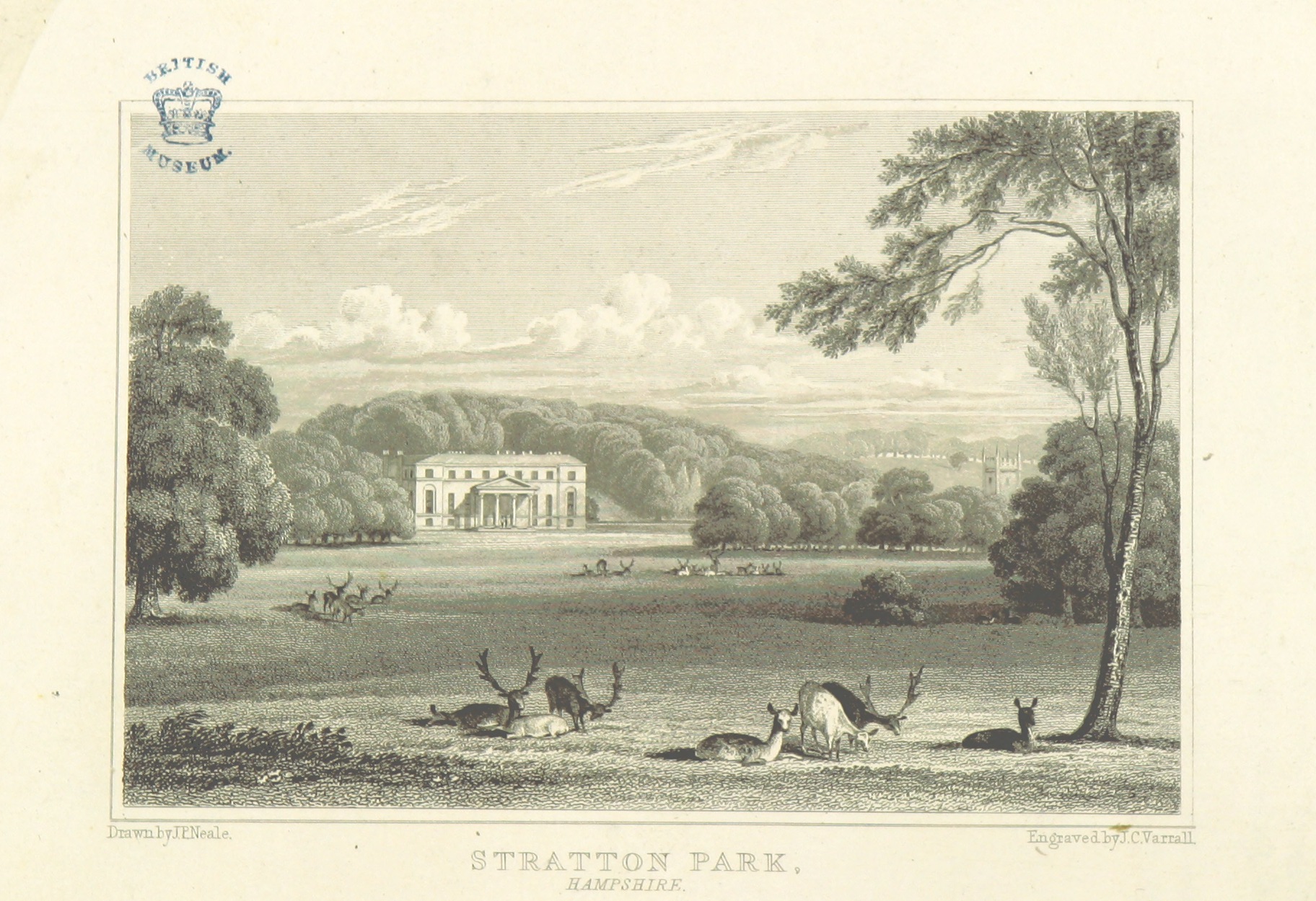
Stratton Park
Stratton Park, in East Stratton, Hampshire, was an English country house, built on the site of a grange of Hyde Abbey after the dissolution of the monasteries...

East Stratton
East Stratton is an estate village and former civil parish, now in the parish of Micheldever, in the Winchester district, in the county of Hampshire, England...
River Dever
The River Dever is a chalk stream in Hampshire in the south of England. It rises at West Stratton near Micheldever and flows westwards for 11 mi (18 km...

West Stratton
West Stratton is a village in the civil parish of Micheldever in the City of Winchester district of Hampshire, England. The village lies close to the M3...
Nearby Amenities
Located within 500m of 51.15579,-1.2106846Have you been to Hazely Copse?
Leave your review of Hazely Copse below (or comments, questions and feedback).