Staverton Wood
Wood, Forest in Northamptonshire
England
Staverton Wood

Staverton Wood is a picturesque forest located in Northamptonshire, England. Spanning over an area of approximately 50 acres, this woodland is a haven for nature lovers and outdoor enthusiasts. The wood boasts a diverse range of trees, including oak, beech, and birch, creating a vibrant and lush environment.
The forest is easily accessible, with well-marked trails that guide visitors through the serene landscape. These paths lead visitors on a journey of discovery, allowing them to explore the woodland's hidden gems. Along the way, one can find an abundance of wildlife, including various species of birds, squirrels, and deer.
Staverton Wood is not only renowned for its natural beauty but also for its historical significance. It was once part of the medieval royal hunting forest, and remnants of ancient woodland can still be seen today. The wood has a rich cultural heritage, with archaeological remains dating back to the Iron Age.
The wood is a popular destination for outdoor activities such as walking, hiking, and birdwatching. It offers a peaceful retreat from the hustle and bustle of everyday life, providing visitors with an opportunity to reconnect with nature. Additionally, the forest is a great spot for family picnics and gatherings, with designated areas for relaxation and recreation.
Staverton Wood is a true gem in Northamptonshire, offering a tranquil and enchanting experience for all who visit. Whether it's immersing oneself in the natural surroundings or exploring the history of the wood, this forest provides a memorable and enjoyable outing for individuals of all ages.
If you have any feedback on the listing, please let us know in the comments section below.
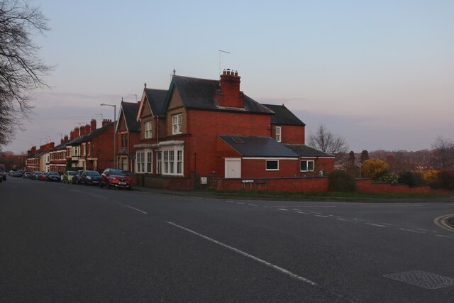
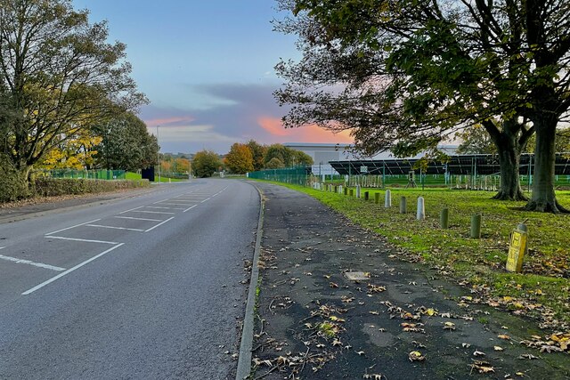
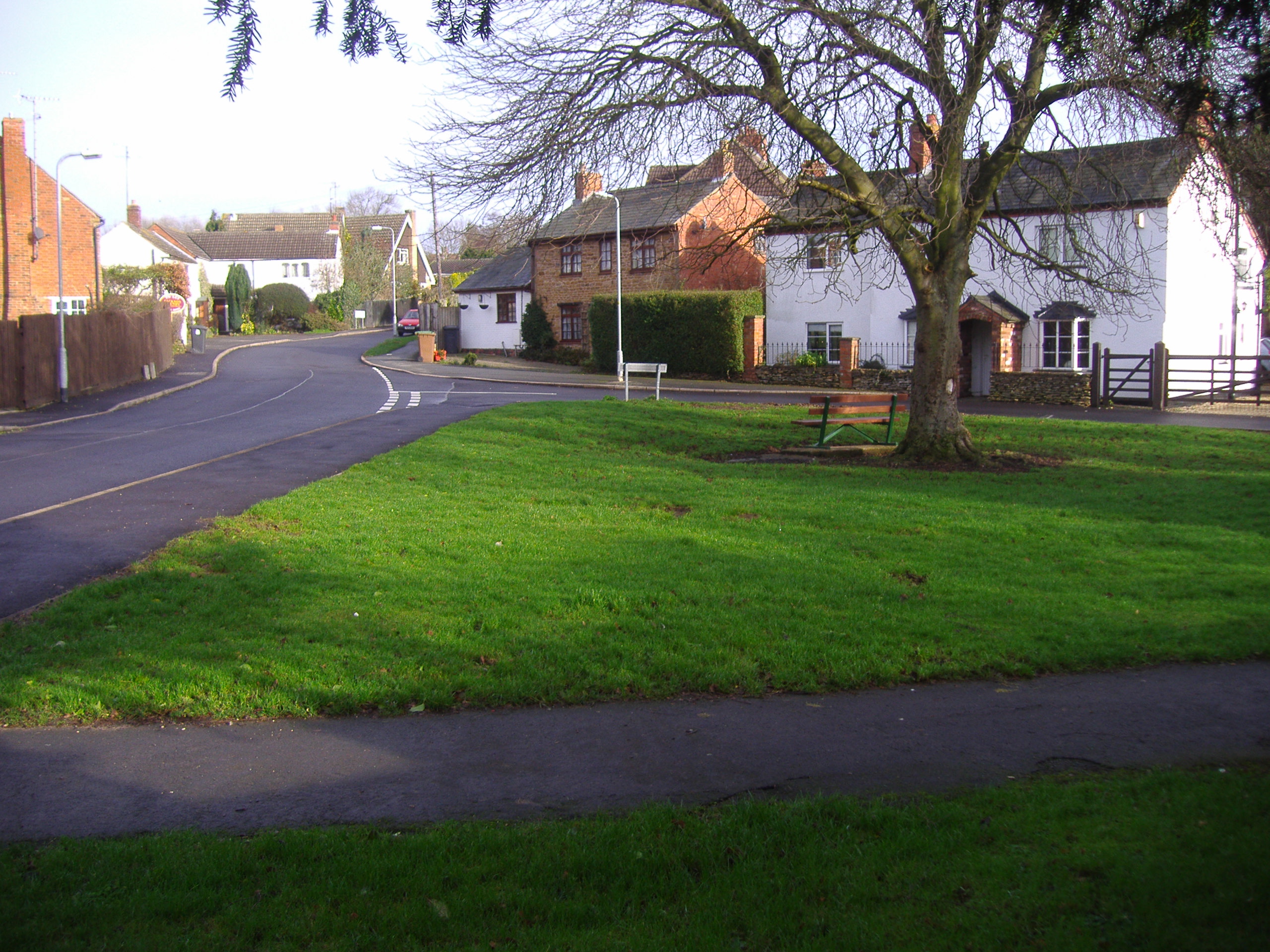
Staverton Wood Images
Images are sourced within 2km of 52.246103/-1.1913415 or Grid Reference SP5561. Thanks to Geograph Open Source API. All images are credited.


Staverton Wood is located at Grid Ref: SP5561 (Lat: 52.246103, Lng: -1.1913415)
Unitary Authority: West Northamptonshire
Police Authority: Northamptonshire
What 3 Words
///branched.wing.graph. Near Daventry, Northamptonshire
Nearby Locations
Related Wikis

Staverton, Northamptonshire
Staverton is a village and civil parish in the south-west of Northamptonshire, England. It is 2.3 miles west of Daventry, 7.9 miles east of Southam and...
Drayton, Northamptonshire
Drayton is a hamlet in England, in the county of Northamptonshire, in the parish of Daventry, 3⁄4 mile (1.2 km) from the centre, occupying mainly with...

Daventry United F.C.
Daventry United Football Club was an association football club based in Daventry, England. The club played in the United Counties League Premier Division...

Newnham Hill
Newnham Hill is a prominent hill south of the town of Daventry in the English county of Northamptonshire . == The Summit == Newnham Hill is 201 meters...
Nearby Amenities
Located within 500m of 52.246103,-1.1913415Have you been to Staverton Wood?
Leave your review of Staverton Wood below (or comments, questions and feedback).