Shortlands Copse
Wood, Forest in Hampshire Winchester
England
Shortlands Copse

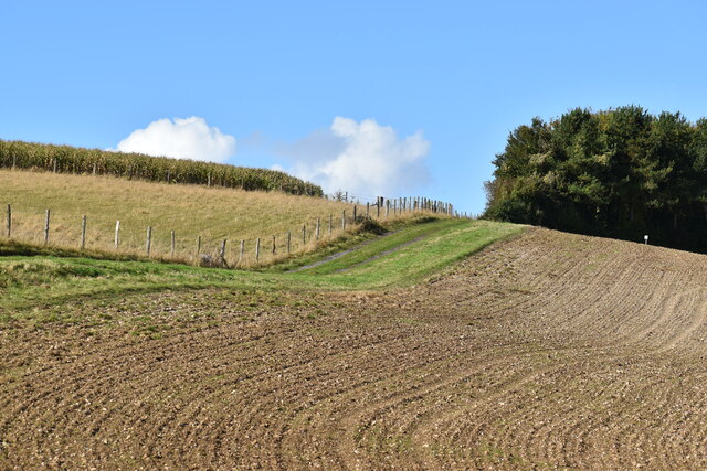
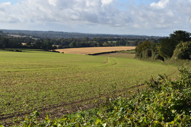
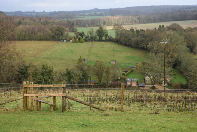
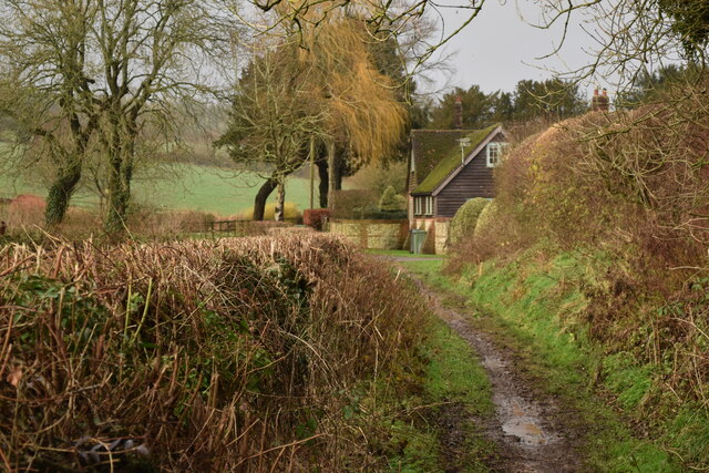
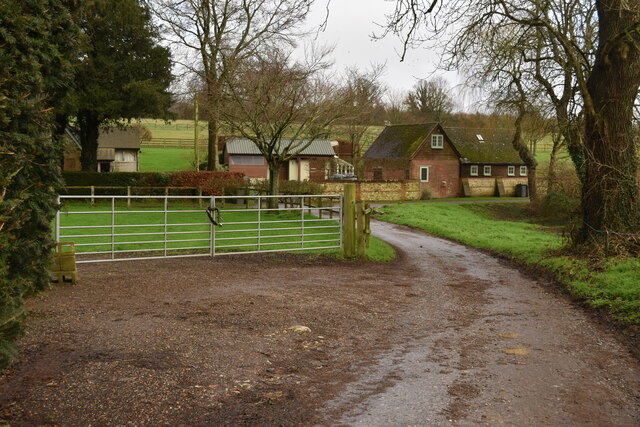
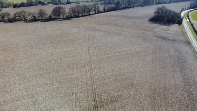
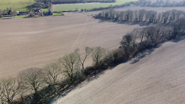
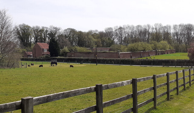
Shortlands Copse is a picturesque woodland located in Hampshire, England. Covering an area of approximately 50 acres, this ancient forest is a popular destination for nature lovers and outdoor enthusiasts. The copse is situated near the village of Shortlands, surrounded by rolling hills and offering a tranquil escape from the bustling city life.
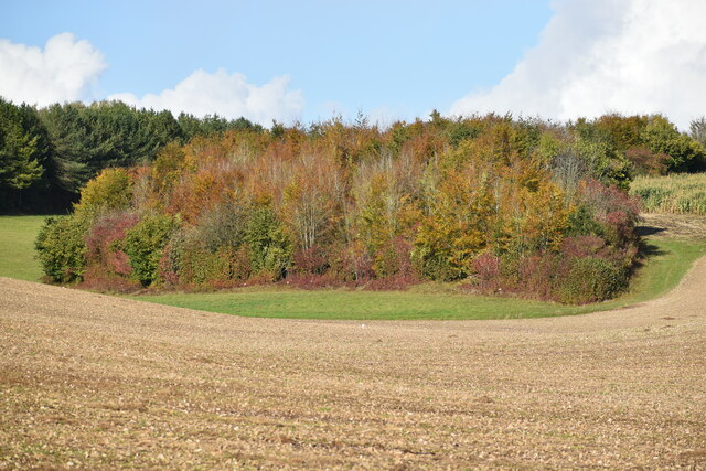
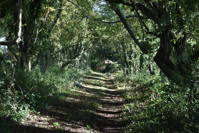
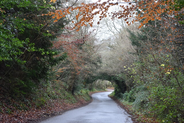
The forest is predominantly composed of native broadleaf trees, including oak, beech, ash, and birch. These trees create a dense canopy, providing a shaded and cool environment beneath. The forest floor is covered with a rich carpet of ferns, mosses, and wildflowers, creating a vibrant and diverse ecosystem.
Shortlands Copse is home to a variety of wildlife species. Visitors may encounter deer, foxes, badgers, and a wide array of bird species, including woodpeckers, owls, and thrushes. The copse also hosts a number of rare and protected species, such as the lesser spotted woodpecker and the dormouse.
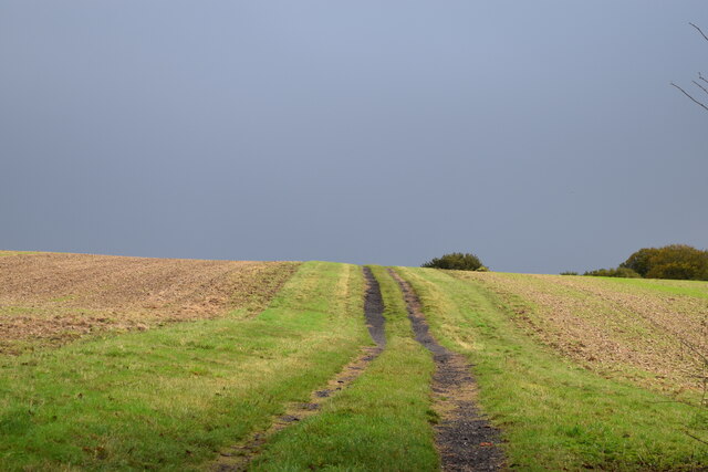
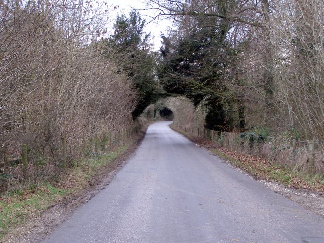
For outdoor enthusiasts, Shortlands Copse offers a network of well-maintained walking trails, allowing visitors to explore the forest and enjoy its natural beauty. The trails wind through the woodland, offering breathtaking views of the surrounding countryside and opportunities for wildlife spotting.
Due to its natural beauty and ecological importance, Shortlands Copse has been designated as a Site of Special Scientific Interest (SSSI) and is protected under conservation laws. This ensures that the copse's unique flora and fauna are preserved for future generations to enjoy and admire.
If you have any feedback on the listing, please let us know in the comments section below.
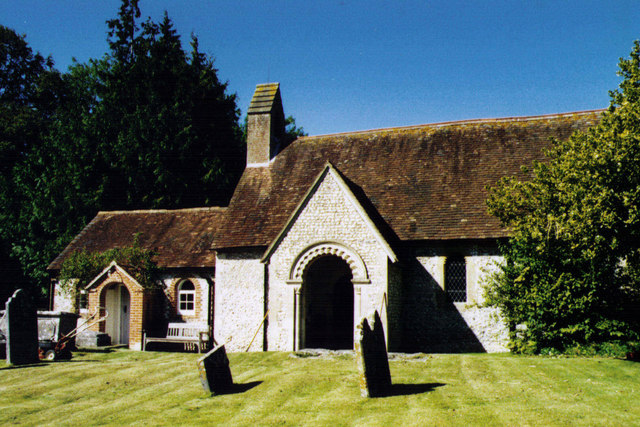
Shortlands Copse Images
Images are sourced within 2km of 51.018988/-1.2387568 or Grid Reference SU5324. Thanks to Geograph Open Source API. All images are credited.


Shortlands Copse is located at Grid Ref: SU5324 (Lat: 51.018988, Lng: -1.2387568)
Administrative County: Hampshire
District: Winchester
Police Authority: Hampshire
What 3 Words
///underway.marathons.elsewhere. Near Colden Common, Hampshire
Nearby Locations
Related Wikis

Owslebury Bottom
Owslebury Bottom is a hamlet in the civil parish of Owslebury in the City of Winchester district of Hampshire, England. Its nearest town is Winchester...
Baybridge, Hampshire
Baybridge is a small village in Hampshire, in England. It is situated to the east of Owslebury, south of Winchester. == References == == External links... ==
Owslebury
Owslebury is a village and civil parish in the county of Hampshire, in the south of England approximately 5 miles (8.0 km) southeast of Winchester. It...
Morestead
Morestead is a village and former civil parish, now in the parish of Owslebury, in the Winchester district, in Hampshire, England. It is in the South Downs...
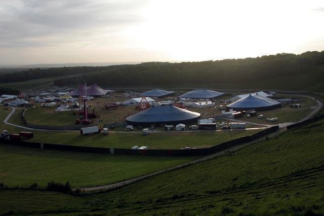
Homelands (festival)
Homelands was a music festival run by Mean Fiddler Music Group (now known as Festival Republic) which consisted mainly of dance music, both live acts and...
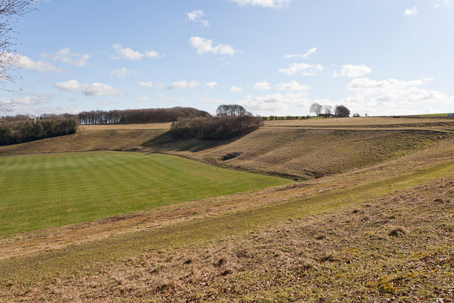
Cheesefoot Head
Cheesefoot Head () is a large natural amphitheatre (also known as Matterley Bowl) and beauty spot just outside Winchester, England. It is situated on the...

Boomtown (festival)
Boomtown (also known as Boomtown Fair) is a British music festival held annually on the Matterley Estate in South Downs National Park, near Winchester...
Marwell Zoo
Marwell Zoo is a 140-acre (57 ha) zoo situated in Colden Common near Winchester, in the English county of Hampshire. It is owned and run by the registered...
Nearby Amenities
Located within 500m of 51.018988,-1.2387568Have you been to Shortlands Copse?
Leave your review of Shortlands Copse below (or comments, questions and feedback).