Hill Barn Copse

Wood, Forest in Hampshire Winchester

England

Hill Barn Copse

Small copse in valley near Oakclose Plantation
Small copse in valley near Oakclose Plantation Credit: David Martin

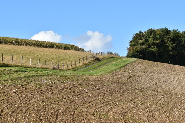
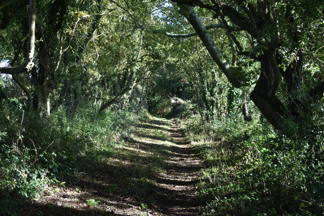
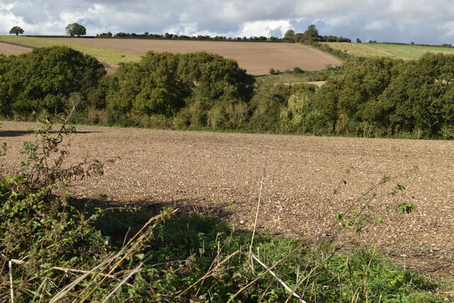
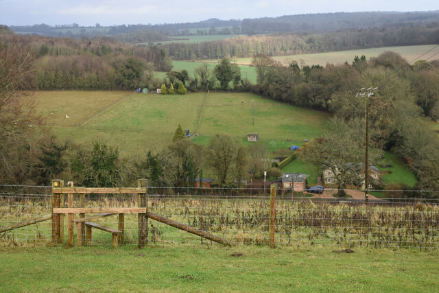
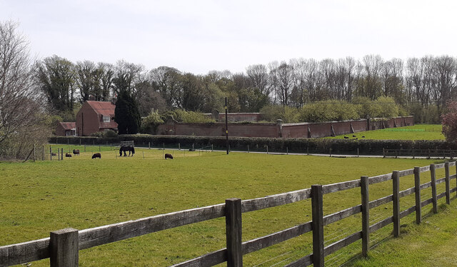
Hill Barn Copse, located in Hampshire, is a picturesque wood that covers an area of approximately 10 acres. Situated on the outskirts of the village of Hill Barn, the copse is known for its diverse range of flora and fauna, making it a popular destination for nature enthusiasts and walkers alike.

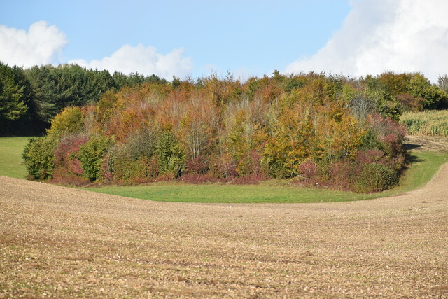
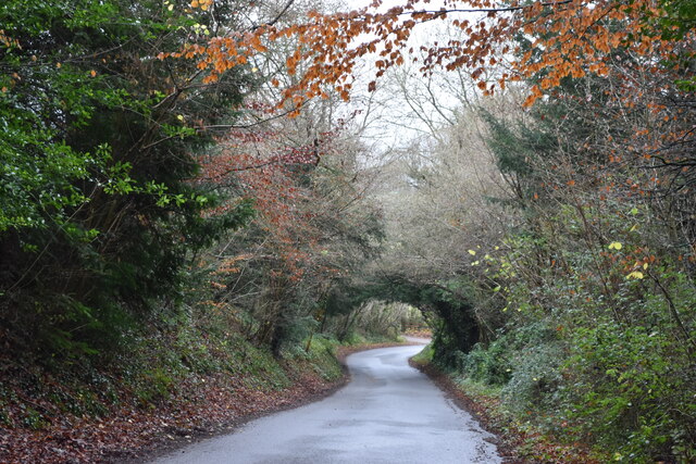
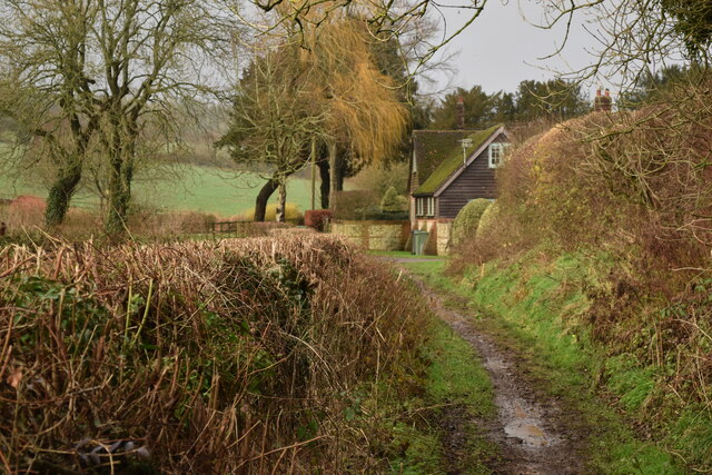
The wood is predominantly made up of deciduous trees, including oak, beech, and ash, which provide a stunning display of colors throughout the year. In spring, the copse is adorned with a carpet of bluebells, creating a magical atmosphere for visitors. Additionally, the wood is home to a variety of wildflowers, such as primroses and wood anemones, adding to its natural beauty.

Hill Barn Copse is also a haven for wildlife, with numerous bird species nesting in its trees, including the great spotted woodpecker and tawny owl. The wood is also frequented by mammals such as deer, foxes, and badgers, which can often be spotted by observant visitors.

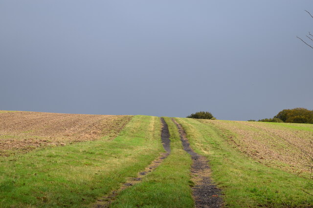
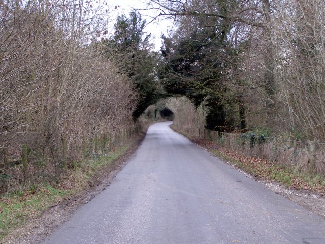
The copse is crisscrossed with well-maintained footpaths, allowing visitors to explore its tranquil surroundings. There is a designated picnic area where visitors can enjoy a packed lunch while taking in the peaceful ambiance of the wood.

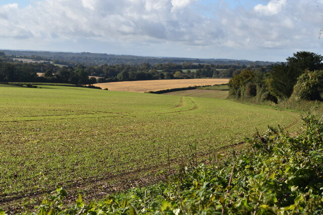
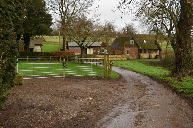
Hill Barn Copse is easily accessible by car, with a small parking area available for visitors. It is open to the public throughout the year, providing a serene escape from the hustle and bustle of daily life.

If you have any feedback on the listing, please let us know in the comments section below.

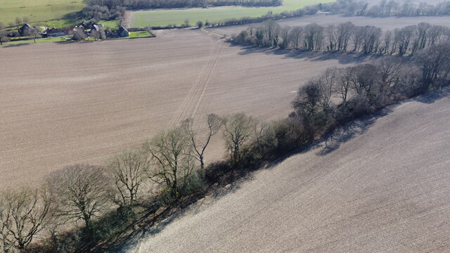
Hill Barn Copse Images

Images are sourced within 2km of 51.019484/-1.2403454 or Grid Reference SU5324. Thanks to Geograph Open Source API. All images are credited.

Small copse in valley near Oakclose Plantation
Allan King Way ascending Longwood Warren
Field path under a stormy sky This clear path passes to the north of a small copse, while the right of way shown on the map diverges to the south, where there appears to be no access.
Field path under a stormy sky
This clear path passes to the north of a small copse, while the right of way shown on the map diverges to the south, where there appears to be no access.
Copse with autumn colours, seen across field
Farmland south of Ox Drove
Sunlight filtering into Ox Drove
Muddy track from Warren Farm A convoy of 4x4 vehicles had just passed with a shooting party, slithering around in the soft mud as if on an icy road.
Muddy track from Warren Farm
A convoy of 4x4 vehicles had just passed with a shooting party, slithering around in the soft mud as if on an icy road.
Farmland north of Ox Drove
Decaying pavilion Former pavilion by the recreation ground, labelled "Danger - unsafe structure".
Decaying pavilion
Former pavilion by the recreation ground, labelled "Danger - unsafe structure".
Descending Owslebury Bottom
View downhill to Green Lane Cottage
Approaching Lower Whiteflood Farm on the Allan King Way
Buildings at Lower Whiteflood Farm
End of the lane at Lower Whiteflood Farm
New water pipe from Lane End reservoir Aerial.
New water pipe from Lane End reservoir
Aerial.
New water pipe from Lane End reservoir Aerial.
New water pipe from Lane End reservoir
Aerial.
Walled kitchen garden of former Longwood House The gardener's cottage to be seen at left. The house itself was situated at SU 540 248 and demolished in the 1960s. Woodland has since grown up to its south. See <span class="nowrap"><a title="http://www.lostheritage.org.uk/houses/lh_hampshire_longwoodhouse.html" rel="nofollow ugc noopener" href="http://www.lostheritage.org.uk/houses/lh_hampshire_longwoodhouse.html">Link</a><img style="margin-left:2px;" alt="External link" title="External link - shift click to open in new window" src="https://s1.geograph.org.uk/img/external.png" width="10" height="10"/></span>
Walled kitchen garden of former Longwood House
The gardener's cottage to be seen at left. The house itself was situated at SU 540 248 and demolished in the 1960s. Woodland has since grown up to its south. See LinkExternal link
Cricket Pavilion destroyed by fire On the night of 14/15th May 2022. The Parish Council had been limbering up to obtain a grant to build a new one anyway. Earlier <a href="https://www.geograph.org.uk/photo/1437252">SU5223 : Pavilion at Owslebury Recreation Ground from the rear</a>
Cricket Pavilion destroyed by fire
On the night of 14/15th May 2022. The Parish Council had been limbering up to obtain a grant to build a new one anyway. Earlier SU5223 : Pavilion at Owslebury Recreation Ground from the rear
Show me another place!

Hill Barn Copse is located at Grid Ref: SU5324 (Lat: 51.019484, Lng: -1.2403454)

Administrative County: Hampshire

District: Winchester

Police Authority: Hampshire

What 3 Words

///bearable.playroom.uniforms. Near Colden Common, Hampshire

Related Wikis

Owslebury Bottom

Owslebury Bottom is a hamlet in the civil parish of Owslebury in the City of Winchester district of Hampshire, England. Its nearest town is Winchester...

Owslebury

Owslebury is a village and civil parish in the county of Hampshire, in the south of England approximately 5 miles (8.0 km) southeast of Winchester. It...

Baybridge, Hampshire

Baybridge is a small village in Hampshire, in England. It is situated to the east of Owslebury, south of Winchester. == References == == External links... ==

Morestead

Morestead is a village and former civil parish, now in the parish of Owslebury, in the Winchester district, in Hampshire, England. It is in the South Downs...

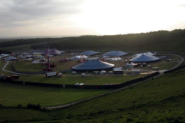
Homelands (festival)

Homelands was a music festival run by Mean Fiddler Music Group (now known as Festival Republic) which consisted mainly of dance music, both live acts and...
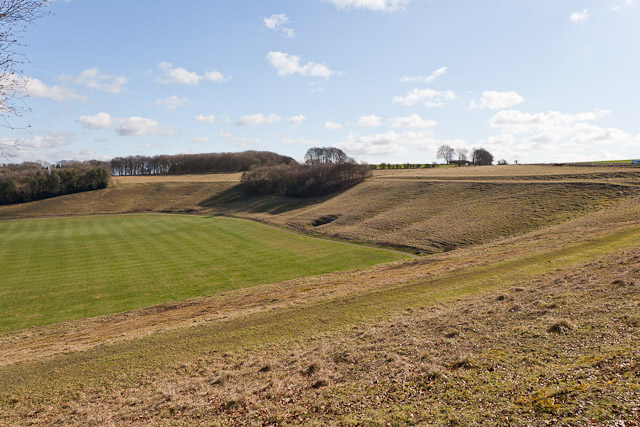
Cheesefoot Head

Cheesefoot Head () is a large natural amphitheatre (also known as Matterley Bowl) and beauty spot just outside Winchester, England. It is situated on the...

Boomtown (festival)

Boomtown (also known as Boomtown Fair) is a British music festival held annually on the Matterley Estate in South Downs National Park, near Winchester...
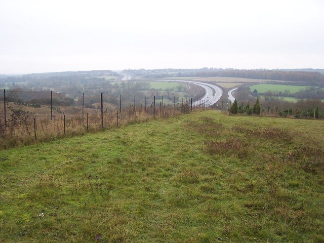
Twyford Down

Twyford Down is an area of chalk downland lying directly to the southeast of Winchester, Hampshire, England next to St. Catherine's Hill and close to the...

Nearby Amenities

Located within 500m of 51.019484,-1.2403454
Barrier: stile
Lat/Long: 51.0185775/-1.2339236
Barrier: stile
Lat/Long: 51.021147/-1.2354675
Man Made: marker_post
Ref: 10641
Lat/Long: 51.0170242/-1.2450938
The data included in this document is from www.openstreetmap.org. The data is made available under ODbL.

Have you been to Hill Barn Copse?

Leave your review of Hill Barn Copse below (or comments, questions and feedback).