Middle Plantation

Wood, Forest in Yorkshire

England

Middle Plantation

Woodlands, All saints Church.
Woodlands, All saints Church. Credit: Bill Henderson

Middle Plantation, Yorkshire (Wood, Forest) is a small village located in the county of Yorkshire, England. Situated amidst lush woodlands and picturesque surroundings, Middle Plantation is known for its serene and idyllic setting.

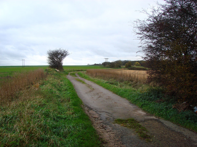
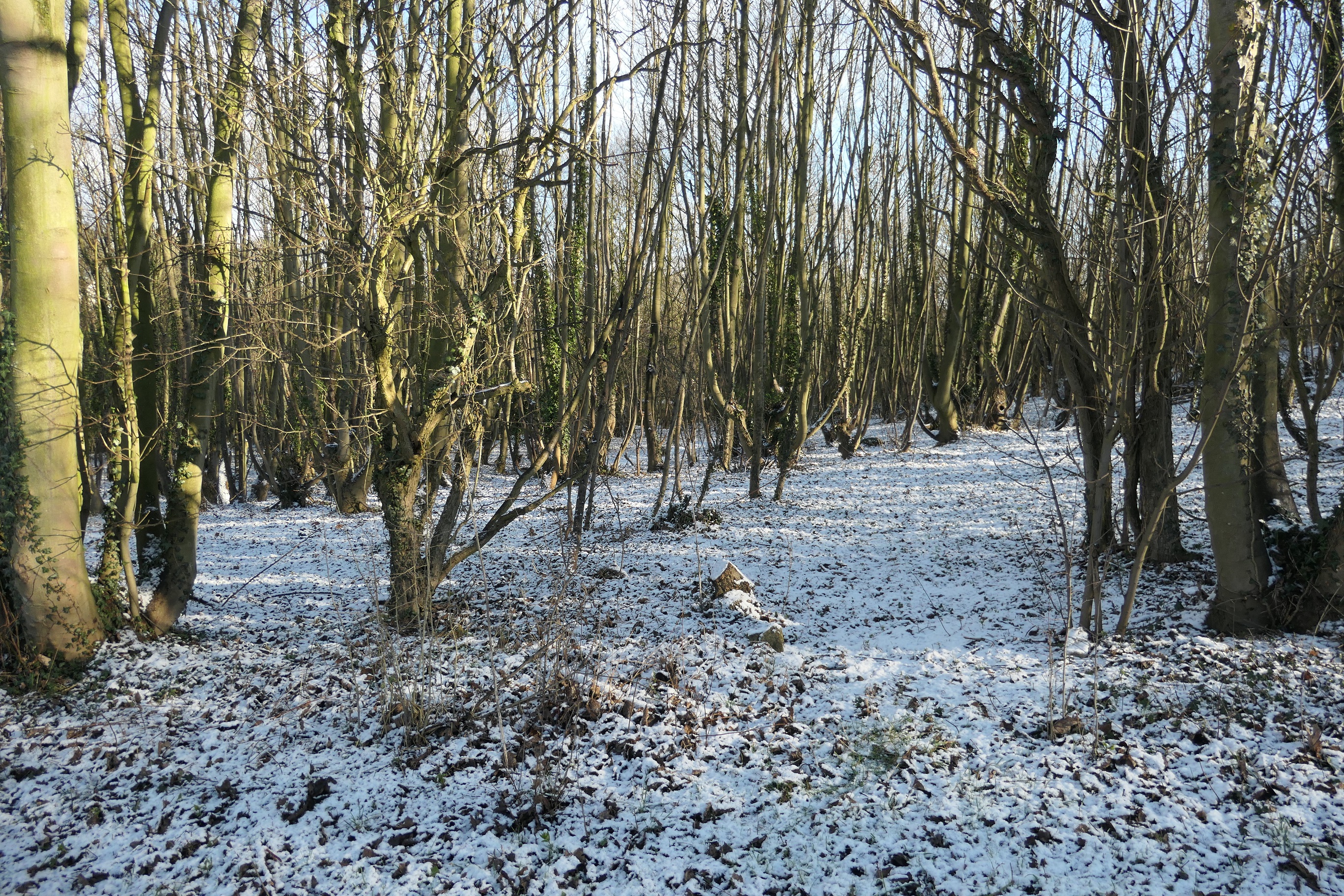
The village is characterized by its dense forest cover, which contributes to a rich biodiversity in the area. The woodland is home to various species of flora and fauna, including oak trees, beech trees, and a variety of wildflowers. The forest serves as a habitat for a diverse range of wildlife, such as deer, foxes, and numerous bird species.

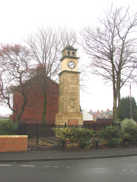
The village itself is quaint and charming, with traditional stone houses and cottages lining its streets. The local community is close-knit and friendly, fostering a warm and welcoming atmosphere for both residents and visitors alike.

Middle Plantation offers a range of recreational activities for nature enthusiasts and outdoor lovers. The surrounding forest provides ample opportunities for hiking, walking, and birdwatching. The village also has several well-maintained trails and pathways that allow visitors to explore the woodlands and enjoy the natural beauty of the area.

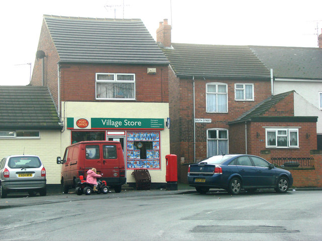
In terms of amenities, Middle Plantation boasts a small village shop that caters to the basic needs of its residents. For more extensive shopping and amenities, the nearby town of Woodford is easily accessible.

Overall, Middle Plantation, Yorkshire (Wood, Forest) is a charming village that offers residents and visitors a peaceful and nature-filled experience. Its beautiful woodland setting and close-knit community make it an ideal destination for those seeking a tranquil retreat in the heart of Yorkshire.

If you have any feedback on the listing, please let us know in the comments section below.

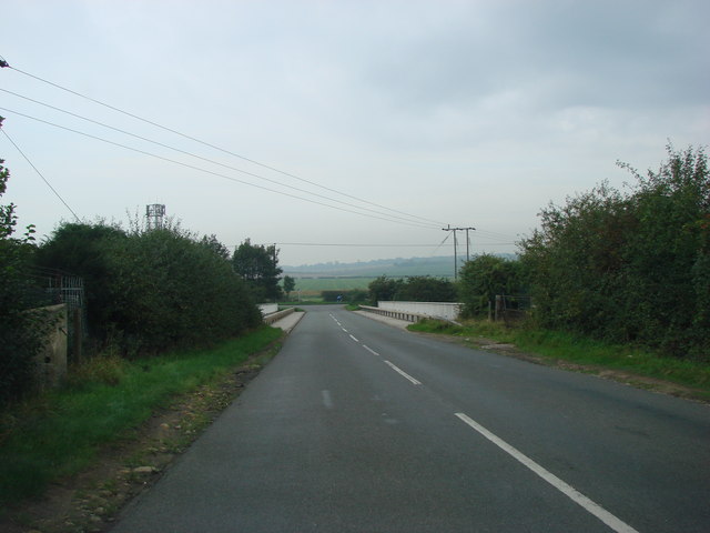
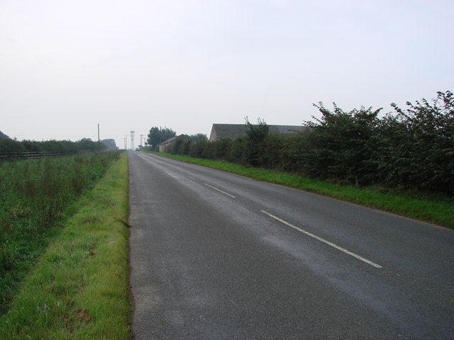
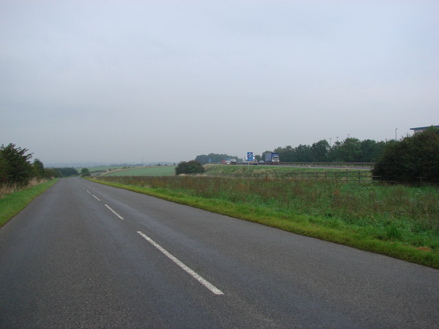
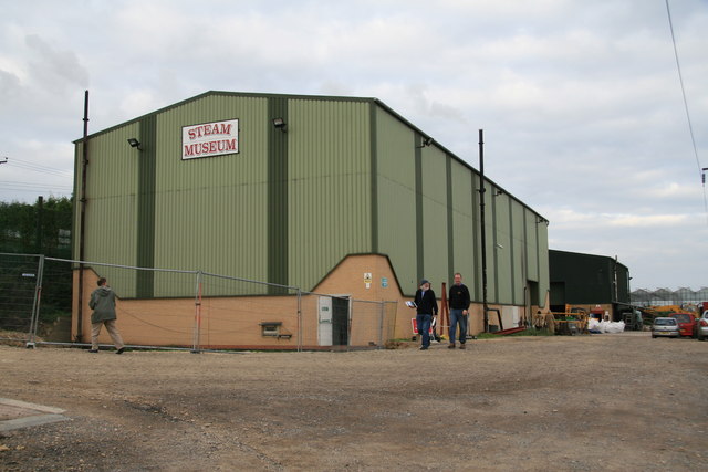
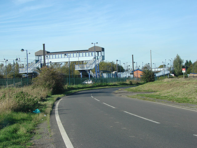
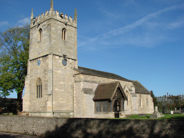
Middle Plantation Images

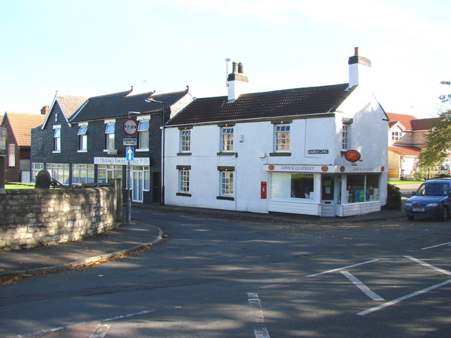
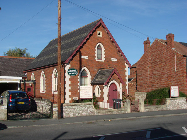
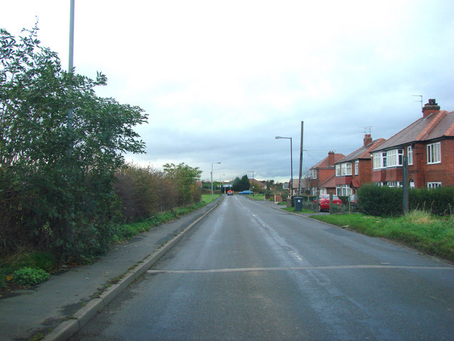
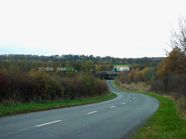
Images are sourced within 2km of 53.559515/-1.1955947 or Grid Reference SE5307. Thanks to Geograph Open Source API. All images are credited.

Woodlands, All saints Church.
Longlands Lane Bridge, crossing the A1(M)
Looking south down Redhouse Lane, with Windy Mount Farm on the right.
Markham Grange Garden Centre. Markham Grange Garden Centre is built on the site of the former Markham Grange Colliery. This hige garden centre also houses a shopping mall and a cafe.
Markham Grange Garden Centre.
Markham Grange Garden Centre is built on the site of the former Markham Grange Colliery. This hige garden centre also houses a shopping mall and a cafe.
Markham Grange Garden Centre and Shopping Mall exit.
Redhouse Lane, looking north, with the A1(M), Doncaster Bypass, running  alongside to the right of picture.
Redhouse Lane, looking north, with the A1(M), Doncaster Bypass, running alongside to the right of picture.
Markham Grange Steam Museum This is next door to the Markham Grange Nursery and is a veritable temple of reciprocating stationary and marine steam engines. A visit is recommended strongly.
Markham Grange Steam Museum
This is next door to the Markham Grange Nursery and is a veritable temple of reciprocating stationary and marine steam engines. A visit is recommended strongly.
Adwick le Street Station, approaching on Adwick Lane from the direction of Toll Bar.
St Laurence's Church, Adwick le Street.
The Post Office, Church Street, Adwick le Street.
Adwick le Street Methodist Church, Fernbank Mill Lane, Adwick le Street.
Scawsby Lane, junction with the B6422
Leys Hill Bridge This is where the A1(M) crosses Green Lane, the B6422.
Leys Hill Bridge
This is where the A1(M) crosses Green Lane, the B6422.
Freestone Quarry Lane
New factory Site, north side of Longlands Lane.
Water Tower off  B6422
Water Tower off B6422
Highfields Village Store and Post Office, South Street, Highfields.
Highfields War Memorial This was built to commemorate those who fell in the Great War 1914-1918, but names from World War 2 were added later.
Highfields War Memorial
This was built to commemorate those who fell in the Great War 1914-1918, but names from World War 2 were added later.
Show me another place!

Middle Plantation is located at Grid Ref: SE5307 (Lat: 53.559515, Lng: -1.1955947)

Division: West Riding

Unitary Authority: Doncaster

Police Authority: South Yorkshire

What 3 Words

///remaking.earphones.rarely. Near Adwick le Street, South Yorkshire

Related Wikis

Hanging Wood, South Yorkshire

Hanging Wood (or Highfields Wood) is an area of woodland situated between the old Great North Road and the Roman Road, and between the mining villages...

Outwood Academy Adwick

Outwood Academy Adwick is a mixed secondary school and sixth form with academy status located in Woodlands, South Yorkshire, England. It has a comprehensive...

Woodlands, South Yorkshire

Woodlands is a model village 4 miles (6 km) north-west of Doncaster in South Yorkshire, England. The village lies adjacent to Highfields and Adwick le...
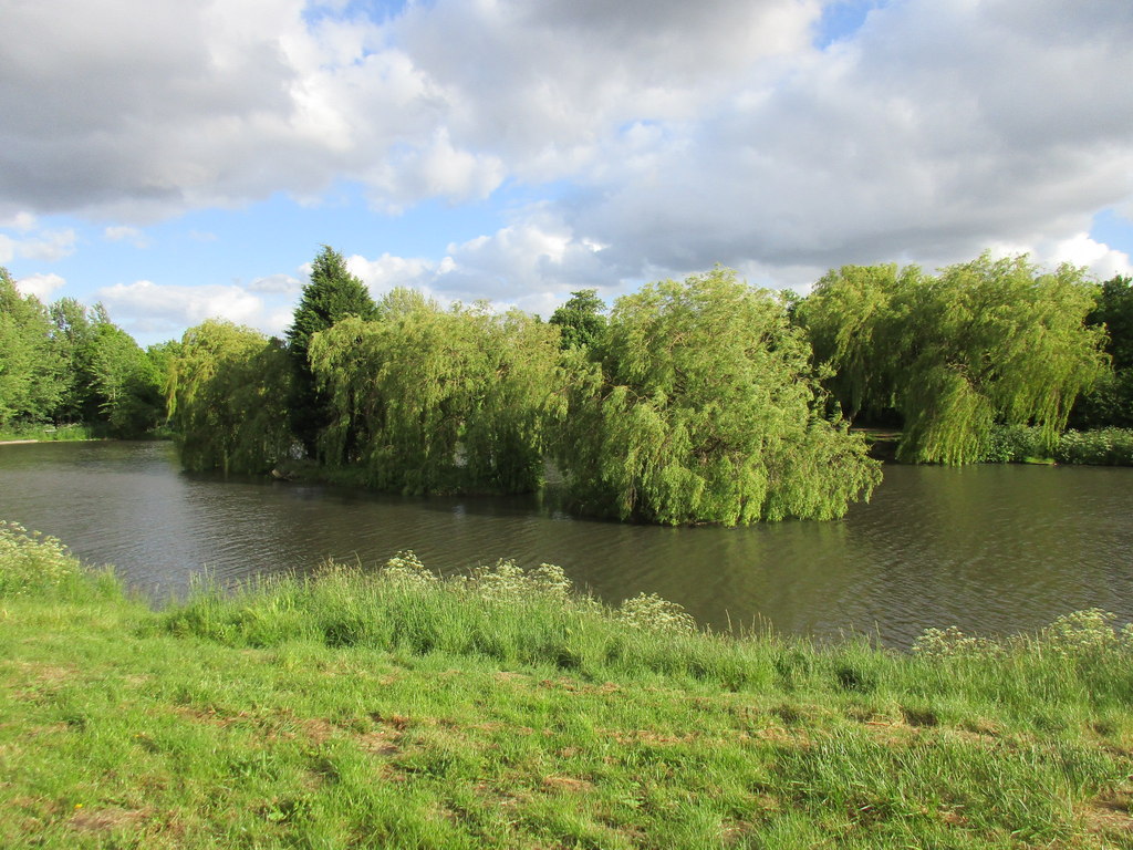
Highfields Lake

Highfields Lake is an ornamental lake in the Woodlands wildlife park at Highfields, north of Doncaster, South Yorkshire, England.It is filled by the Pick...

Nearby Amenities

Located within 500m of 53.559515,-1.1955947
Bus Stop
Welfare Road
Bus: yes
Naptan AtcoCode: 370045859
Naptan Bearing: NE
Naptan BusStopType: CUS
Naptan CommonName: Welfare Road
Naptan Indicator: 45859
Naptan Landmark: 45859
Naptan PlusbusZoneRef: ROTHCEN
Naptan Street: Welfare Road
Naptan Verified: no
Public Transport: platform
Source: naptan_import
Lat/Long: 53.5603584/-1.1881662
Bus Stop
Great North Road/Chadwick Road
Naptan AtcoCode: 370045001
Naptan Bearing: N
Naptan CommonName: Great North Road/Chadwick Road
Naptan Indicator: 45001
Naptan Landmark: Outside House No 9 & 11
Naptan PlusbusZoneRef: ROTHCEN
Naptan Street: Great North Road
Naptan Verified: no
Source: naptan_import
Lat/Long: 53.5634632/-1.1953541
Bus Stop
Great North Road/The Park
Alt Name: Great North Road/The Park
Naptan AltCommonName: Great North Road/The Park
Naptan AtcoCode: 370045532
Naptan Bearing: NW
Naptan CommonName: Great North Road/The Park
Naptan Indicator: 45532
Naptan Landmark: The Park/The Billiard Hall
Naptan PlusbusZoneRef: ROTHCEN
Naptan Street: Great North Road
Naptan Verified: no
Source: naptan_import
Lat/Long: 53.5615165/-1.1932622
Bus Stop
Great North Road/Princess Street
Alt Name: Great North Road/Princess Street
Naptan AltCommonName: Great North Road/Princess Street
Naptan AtcoCode: 370045533
Naptan Bearing: SE
Naptan CommonName: Great North Road/Princess Street
Naptan Indicator: 45533
Naptan Landmark: BRODSWORTH MINERS WELFARE
Naptan PlusbusZoneRef: ROTHCEN
Naptan Street: Great North Road
Naptan Verified: no
Source: naptan_import
Lat/Long: 53.5613748/-1.1922383
Bus Stop
Great North Road/Welfare Road
Naptan AtcoCode: 370045534
Naptan Bearing: NW
Naptan CommonName: Great North Road/Welfare Road
Naptan Indicator: 45534
Naptan Landmark: Telephone Box
Naptan PlusbusZoneRef: ROTHCEN
Naptan Street: Great North Road
Naptan Verified: no
Source: naptan_import
Lat/Long: 53.5598819/-1.1894737
Woodlands
Place: village
Wikidata: Q8032920
Lat/Long: 53.5636933/-1.1977095
Heron Foods
Addr City: Doncaster
Addr Country: GB
Addr Housenumber: 268
Addr Postcode: DN6 7HN
Addr Street: Great North Road
Brand: Heron Foods
Brand Wikidata: Q5743472
Brand Wikipedia: en:Heron Foods
Contact Website: https://heronfoods.com/store/woodlands/
Fhrs Id: 692401
Shop: supermarket
Lat/Long: 53.5637497/-1.1950262
Crossing
Lat/Long: 53.5629017/-1.1947301
Crossing
Lat/Long: 53.5627862/-1.1948098
Pharmacy
Well Pharmacy
Brand: Well Pharmacy
Brand Wikidata: Q7726524
Dispensing: yes
Healthcare: pharmacy
Website: https://finder.well.co.uk/store/woodlands-great-north-road
Lat/Long: 53.5629431/-1.19453
Fulton's Foods
Brand: Fulton's Foods
Brand Wikidata: Q6112633
Shop: frozen_food
Lat/Long: 53.5628267/-1.1943989
Check Date: 2016-05-25
Disused Amenity: pharmacy
Old Name: Lloyds Pharmacy
Lat/Long: 53.5619259/-1.198775
Doctors
Princess Medical Centre
Lat/Long: 53.5620829/-1.1918586
Post Box
Post Box Type: pillar
Lat/Long: 53.5628587/-1.1945649
Cooplands
Addr City: Doncaster
Addr Country: GB
Addr Housenumber: 262
Addr Postcode: DN6 7HP
Addr Street: Great North Road
Brand: Cooplands
Brand Wikidata: Q5167971
Contact Website: https://cooplands.co.uk/
Fhrs Id: 772970
Shop: bakery
Lat/Long: 53.5633779/-1.1948358
A W Motorcycle Parts
Shop: motorcycle_parts
Lat/Long: 53.5631343/-1.1946347
Check Date: 2016-05-25
Disused Amenity: pharmacy
Old Name: Lloyds Pharmacy
Lat/Long: 53.5623552/-1.1919176
Doctors
Woodside Surgery
Lat/Long: 53.5617984/-1.1988099
Man Made: tower
Lat/Long: 53.5628801/-1.1979417
Generator Method: photovoltaic
Generator Output Electricity: yes
Generator Source: solar
Generator Type: solar_photovoltaic_panel
Power: generator
Lat/Long: 53.5592421/-1.1927837
The data included in this document is from www.openstreetmap.org. The data is made available under ODbL.

Have you been to Middle Plantation?

Leave your review of Middle Plantation below (or comments, questions and feedback).