Park Plantation

Wood, Forest in Hampshire Winchester

England

Park Plantation

Decaying pavilion Former pavilion by the recreation ground, labelled "Danger - unsafe structure".
Decaying pavilion Credit: David Martin

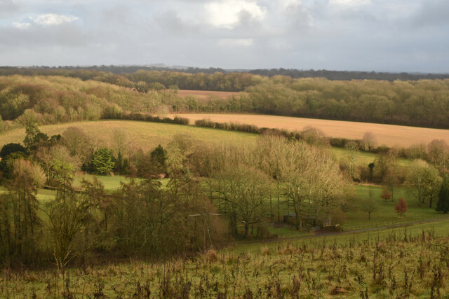
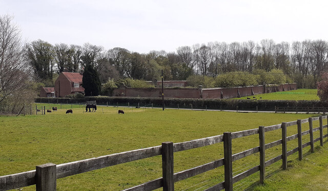
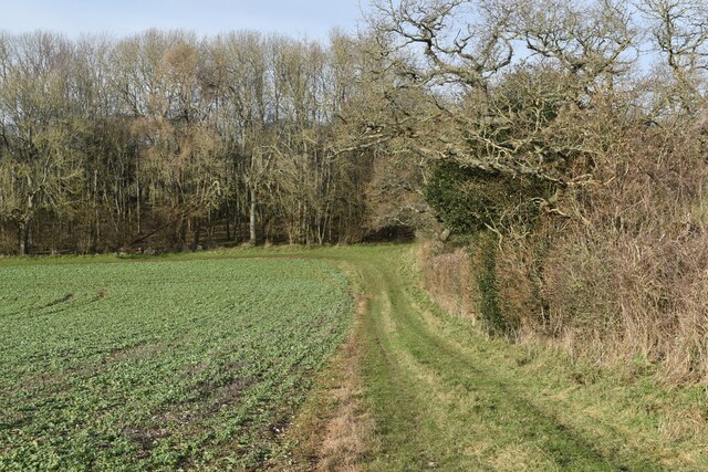
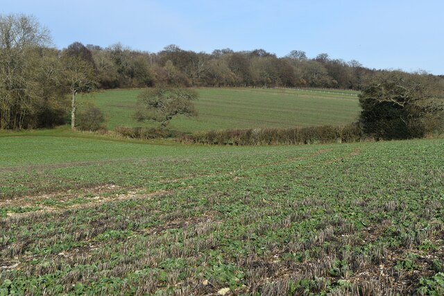
Park Plantation is a picturesque woodland located in Hampshire, England. Stretching over a vast area, it is renowned for its stunning natural beauty and diverse range of plant and animal species. The plantation is primarily composed of a mix of mature trees, including oak, beech, and birch, which create a dense and enchanting forest environment.

The woodland is well-preserved and carefully managed to maintain its ecological balance. The forest floor is covered with a rich carpet of moss, ferns, and wildflowers, creating a vibrant and colorful display during the spring and summer months. The plantation is also home to various wildlife species, such as deer, foxes, and a wide variety of birds, making it a popular spot for nature enthusiasts and birdwatchers.

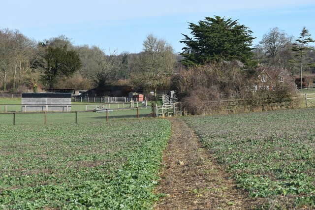
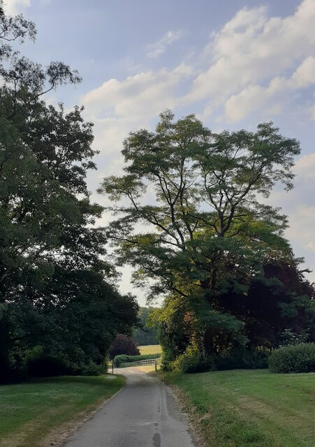
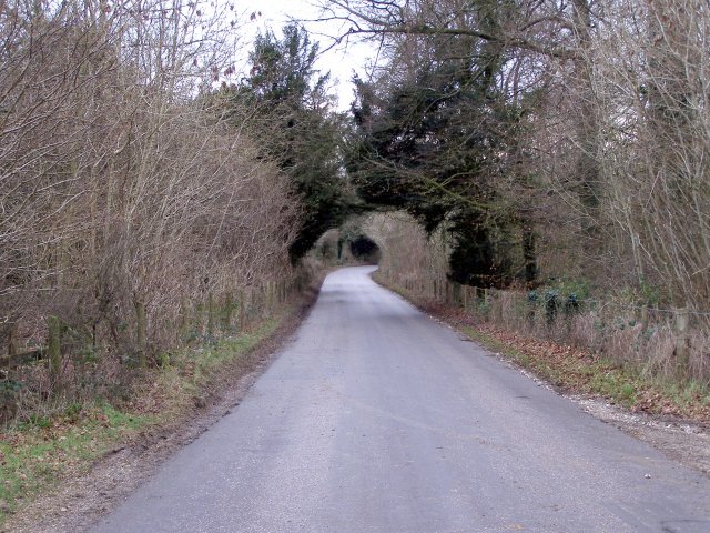
Visitors to Park Plantation can enjoy a range of recreational activities. There are numerous walking trails meandering through the woods, offering opportunities for leisurely strolls and more challenging hikes. The plantation is also a popular destination for picnics, with designated areas equipped with benches and tables. Additionally, the woodland provides a tranquil setting for nature photography and sketching.

The management of Park Plantation is dedicated to preserving the natural integrity of the woodland. Conservation efforts include regular tree maintenance, removal of invasive species, and the creation of habitats for endangered wildlife. The plantation also organizes educational programs and guided tours to increase public awareness of the importance of preserving these natural ecosystems.

Overall, Park Plantation in Hampshire is a true gem for nature enthusiasts and offers a serene and captivating experience for all who visit.

If you have any feedback on the listing, please let us know in the comments section below.

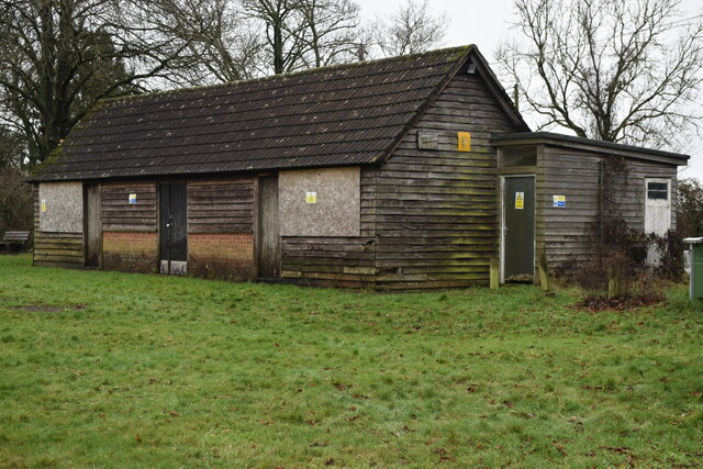
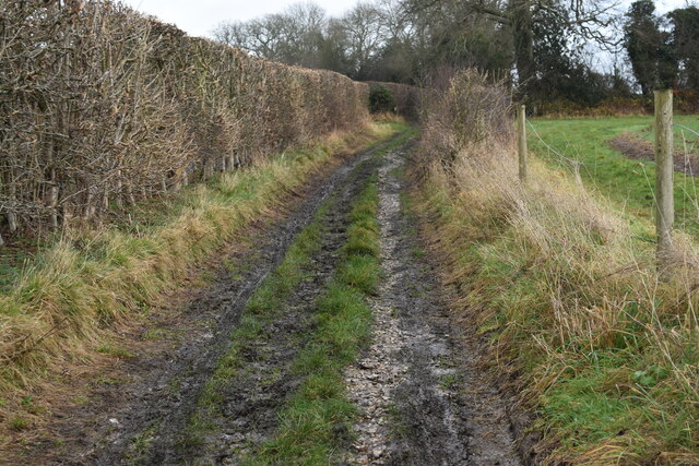
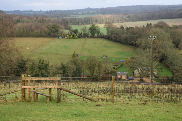
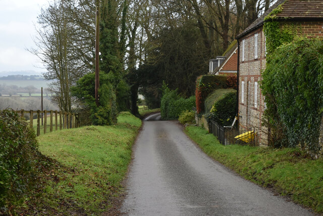
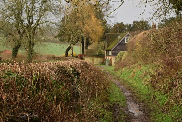
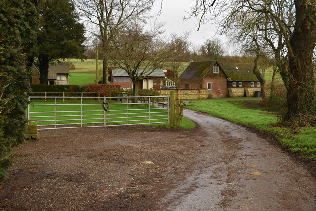
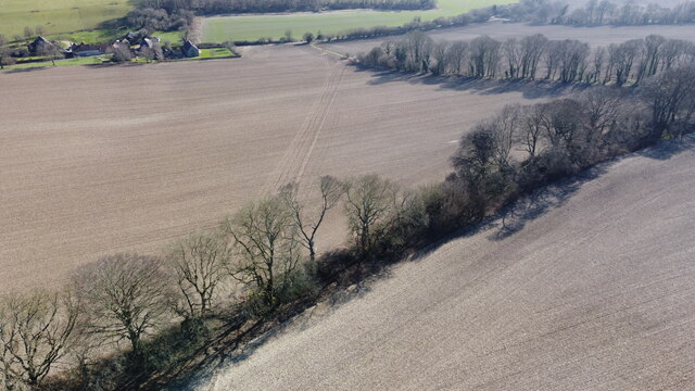
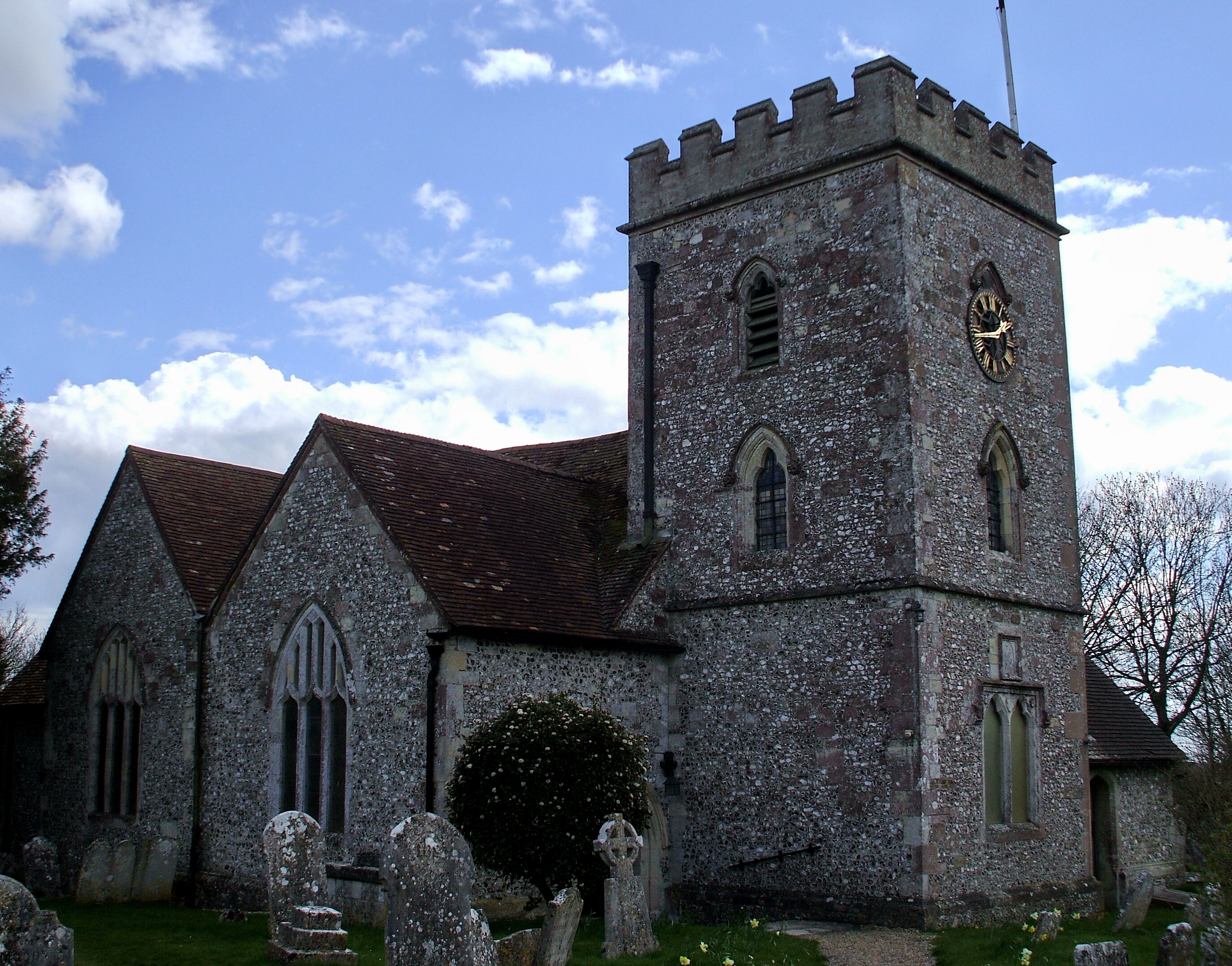
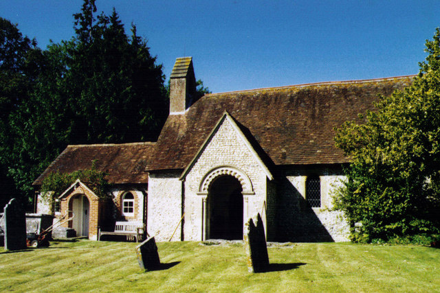
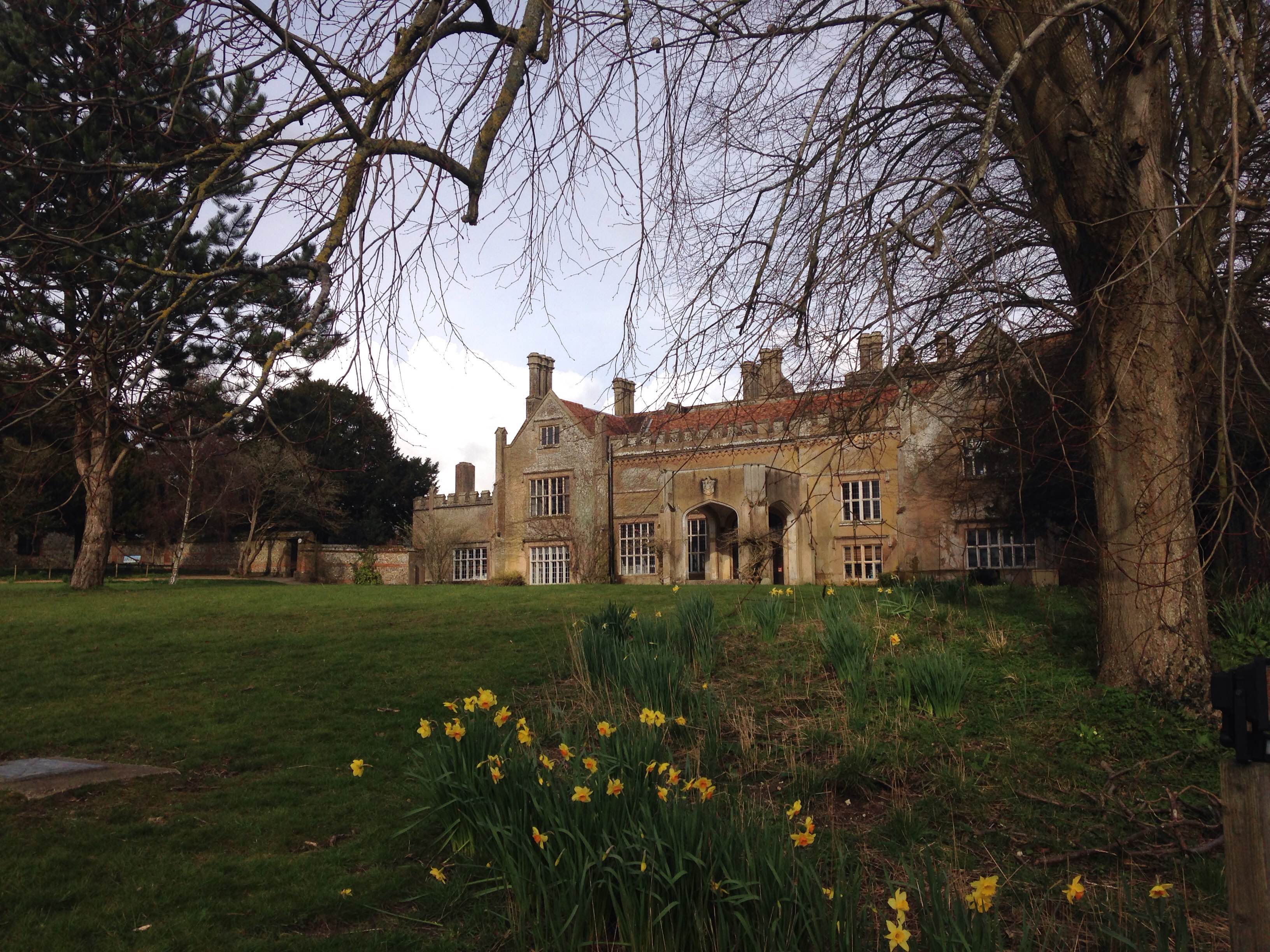
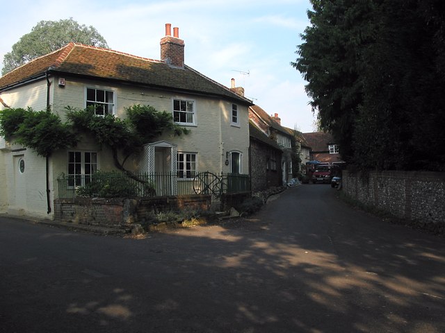
Park Plantation Images

Images are sourced within 2km of 51.013101/-1.2337783 or Grid Reference SU5324. Thanks to Geograph Open Source API. All images are credited.

Decaying pavilion Former pavilion by the recreation ground, labelled "Danger - unsafe structure".
Decaying pavilion
Former pavilion by the recreation ground, labelled "Danger - unsafe structure".
Greenhill Lane Approaching a junction with a footpath which leads along the field edge to the southeast.
Greenhill Lane
Approaching a junction with a footpath which leads along the field edge to the southeast.
View across dry valley towards Well Copse
View downhill to Green Lane Cottage
Baybridge Lane at Greenhill House
Approaching Lower Whiteflood Farm on the Allan King Way
Buildings at Lower Whiteflood Farm
End of the lane at Lower Whiteflood Farm
New water pipe from Lane End reservoir Aerial.
New water pipe from Lane End reservoir
Aerial.
New water pipe from Lane End reservoir Aerial.
New water pipe from Lane End reservoir
Aerial.
Walled kitchen garden of former Longwood House The gardener's cottage to be seen at left. The house itself was situated at SU 540 248 and demolished in the 1960s. Woodland has since grown up to its south. See <span class="nowrap"><a title="http://www.lostheritage.org.uk/houses/lh_hampshire_longwoodhouse.html" rel="nofollow ugc noopener" href="http://www.lostheritage.org.uk/houses/lh_hampshire_longwoodhouse.html">Link</a><img style="margin-left:2px;" alt="External link" title="External link - shift click to open in new window" src="https://s1.geograph.org.uk/img/external.png" width="10" height="10"/></span>
Walled kitchen garden of former Longwood House
The gardener's cottage to be seen at left. The house itself was situated at SU 540 248 and demolished in the 1960s. Woodland has since grown up to its south. See LinkExternal link
Cricket Pavilion destroyed by fire On the night of 14/15th May 2022. The Parish Council had been limbering up to obtain a grant to build a new one anyway. Earlier <a href="https://www.geograph.org.uk/photo/1437252">SU5223 : Pavilion at Owslebury Recreation Ground from the rear</a>
Cricket Pavilion destroyed by fire
On the night of 14/15th May 2022. The Parish Council had been limbering up to obtain a grant to build a new one anyway. Earlier SU5223 : Pavilion at Owslebury Recreation Ground from the rear
Cricket Paviliion destroyed by fire On the night of 14/15th May 2022. The Parish Council had been limbering up to obtain a grant to build a new one anyway. Earlier <a href="https://www.geograph.org.uk/photo/7053548">SU5223 : Decaying pavilion</a>
Cricket Paviliion destroyed by fire
On the night of 14/15th May 2022. The Parish Council had been limbering up to obtain a grant to build a new one anyway. Earlier SU5223 : Decaying pavilion
Cricket Pavilion destroyed by fire On the night of 14/15th May 2022. Looking at the back of it. The Parish Council had been limbering up to obtain a grant to build a new one anyway. Earlier <a href="https://www.geograph.org.uk/photo/7053548">SU5223 : Decaying pavilion</a> and <a href="https://www.geograph.org.uk/photo/1437252">SU5223 : Pavilion at Owslebury Recreation Ground from the rear</a>
Cricket Pavilion destroyed by fire
On the night of 14/15th May 2022. Looking at the back of it. The Parish Council had been limbering up to obtain a grant to build a new one anyway. Earlier SU5223 : Decaying pavilion and SU5223 : Pavilion at Owslebury Recreation Ground from the rear
Corner of field, west of Priest Wood
Farmland and woods north of Little Woodcote
Footpath towards Belmore Cottage
Approaching housing on Longwood estate
Show me another place!

Park Plantation is located at Grid Ref: SU5324 (Lat: 51.013101, Lng: -1.2337783)

Administrative County: Hampshire

District: Winchester

Police Authority: Hampshire

What 3 Words

///dented.socialite.elbowed. Near Colden Common, Hampshire

Related Wikis

Baybridge, Hampshire

Baybridge is a small village in Hampshire, in England. It is situated to the east of Owslebury, south of Winchester. == References == == External links... ==

Owslebury

Owslebury is a village and civil parish in the county of Hampshire, in the south of England approximately 5 miles (8.0 km) southeast of Winchester. It...

Owslebury Bottom

Owslebury Bottom is a hamlet in the civil parish of Owslebury in the City of Winchester district of Hampshire, England. Its nearest town is Winchester...

Morestead

Morestead is a village and former civil parish, now in the parish of Owslebury, in the Winchester district, in Hampshire, England. It is in the South Downs...

Marwell Zoo

Marwell Zoo is a 140-acre (57 ha) zoo situated in Colden Common near Winchester, in the English county of Hampshire. It is owned and run by the registered...

Marwell College

Marwell College was a college of secular priests in Marwell Park, Owslebury, Hampshire, England. Marwell was sometimes spelled Merwell or Merewell. The...

Preshaw

Preshaw (variously named Presshawe, Presthawe, and Preishawe in old documents) is a manor to the north of Corhampton in the United Kingdom. In the 19th...

Upham, Hampshire

Upham is a small village and civil parish in the south of England located in Hampshire approximately 7 miles south-east of Winchester . == The village... ==

Nearby Amenities

Located within 500m of 51.013101,-1.2337783
Power: pole
Lat/Long: 51.0094947/-1.2373632
Power: pole
Lat/Long: 51.0092906/-1.2360605
Power: pole
Lat/Long: 51.0096482/-1.2319159
Power: pole
Lat/Long: 51.0100826/-1.2307401
Power: pole
Lat/Long: 51.0105522/-1.2294985
Power: pole
Lat/Long: 51.0109966/-1.2283129
Power: pole
Lat/Long: 51.011952/-1.2284837
Power: pole
Lat/Long: 51.0130171/-1.2286715
Power: pole
Lat/Long: 51.0140699/-1.2288594
Power: pole
Lat/Long: 51.0092039/-1.2330653
The data included in this document is from www.openstreetmap.org. The data is made available under ODbL.

Have you been to Park Plantation?

Leave your review of Park Plantation below (or comments, questions and feedback).