Maggotty Moor Copse

Wood, Forest in Hampshire Basingstoke and Deane

England

Maggotty Moor Copse

Knowl Hill Farm Buildings This picture was taken from the private road that intersects with the road running diagonally from north to south across the grid square, looking north.
Knowl Hill Farm Buildings Credit: Pam Brophy

Maggotty Moor Copse is a picturesque woodland located in the county of Hampshire, England. Covering an area of approximately 50 acres, the copse is known for its diverse range of flora and fauna, making it a popular destination for nature enthusiasts and hikers.

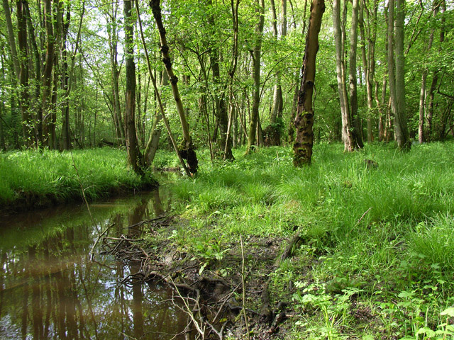
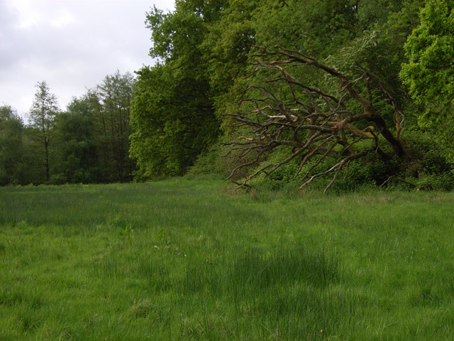
The copse is predominantly comprised of deciduous trees, including oak, beech, and ash, which provide a stunning display of colors during the autumn months. The woodland floor is adorned with a variety of wildflowers, such as bluebells, primroses, and wood anemones, creating a vibrant and enchanting atmosphere.

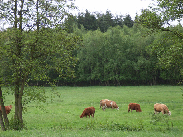
Home to a wide array of wildlife, Maggotty Moor Copse offers visitors the opportunity to spot various species of birds, including woodpeckers, owls, and thrushes. Squirrels can also be seen darting through the trees, while foxes and badgers may occasionally make an appearance.

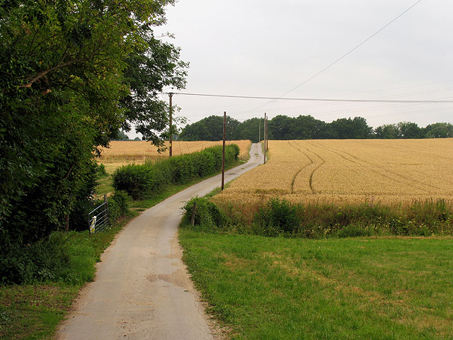
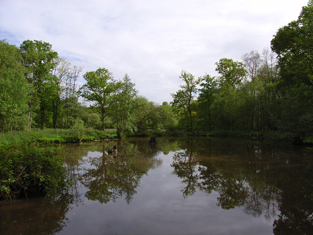
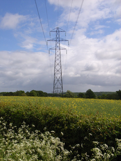
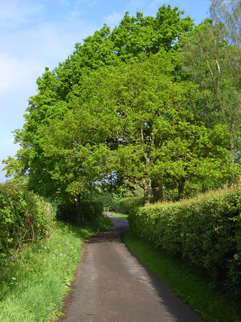
Traversing through the copse, visitors can enjoy a network of well-maintained footpaths, allowing them to explore the woodland at their own pace. The paths wind their way through the trees, offering glimpses of charming clearings and hidden nooks. The copse is also intersected by a small stream, adding to its natural beauty.

Maggotty Moor Copse is a tranquil and serene sanctuary, offering visitors a peaceful escape from the hustle and bustle of everyday life. With its stunning scenery and abundant wildlife, it is a haven for those seeking solace in nature.

If you have any feedback on the listing, please let us know in the comments section below.

Maggotty Moor Copse Images

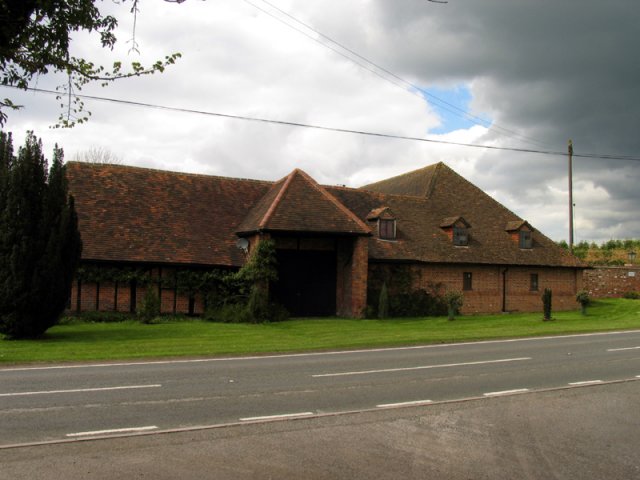
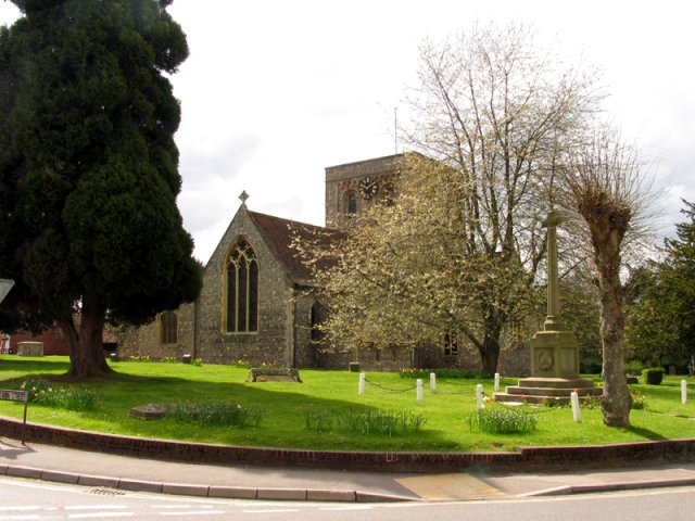
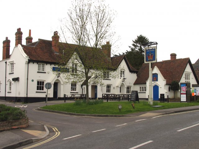
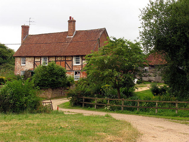
Images are sourced within 2km of 51.333687/-1.2335297 or Grid Reference SU5359. Thanks to Geograph Open Source API. All images are credited.

Knowl Hill Farm Buildings This picture was taken from the private road that intersects with the road running diagonally from north to south across the grid square, looking north.
Knowl Hill Farm Buildings
This picture was taken from the private road that intersects with the road running diagonally from north to south across the grid square, looking north.
Church in Kingsclere The church is situated in the centre of the upper half of the grid square. The picture was taken from the east side of the church looking west (hence problems with the sun!). Kingsclere is an attractive village with many very old buildings.
Church in Kingsclere
The church is situated in the centre of the upper half of the grid square. The picture was taken from the east side of the church looking west (hence problems with the sun!). Kingsclere is an attractive village with many very old buildings.
Kingsclere Village Centre The pub is on the east side of the Church in the lower centre of the upper half of the grid square in the centre of the village.
Kingsclere Village Centre
The pub is on the east side of the Church in the lower centre of the upper half of the grid square in the centre of the village.
Coldridges Farm Situated in the western section near the edge of the grid square, this picture was taken from the A339 to Newbury, looking north east.
Coldridges Farm
Situated in the western section near the edge of the grid square, this picture was taken from the A339 to Newbury, looking north east.
Farm near Ashford Hill At this point, the footpath splits and goes of at right angles to each other. This is the view at the split (Harriden's Farm).
Farm near Ashford Hill
At this point, the footpath splits and goes of at right angles to each other. This is the view at the split (Harriden's Farm).
Farmland near Ashford Hill This section of farmland is south west of Harridens Great Copse in 5360, and the view is in the north east corner of the square between Harridens farm and Halls Farm.
Farmland near Ashford Hill
This section of farmland is south west of Harridens Great Copse in 5360, and the view is in the north east corner of the square between Harridens farm and Halls Farm.
Sandford Springs Golf Club This picture of Sanford Springs golf course was taken from the club entrance, just off the A339, looking over the greens in a north westerly direction
Sandford Springs Golf Club
This picture of Sanford Springs golf course was taken from the club entrance, just off the A339, looking over the greens in a north westerly direction
Country house This picture was taken from approx 545582 and looks due north to a house just across the main A339
Country house
This picture was taken from approx 545582 and looks due north to a house just across the main A339
Shed on Legs! This old grain store was built on stone pillars to prevent rats from getting into the store. It is in the middle of a farm yard at 544576
Shed on Legs!
This old grain store was built on stone pillars to prevent rats from getting into the store. It is in the middle of a farm yard at 544576
St. Catherine's Church, Crabbs Hill, Wolverton
Frith Common Looking across to Sandford Wood.
Frith Common
Looking across to Sandford Wood.
Pond near Frith Common One of two ponds in the vicinity that are not shown by the Ordnance Survey.
Pond near Frith Common
One of two ponds in the vicinity that are not shown by the Ordnance Survey.
Woodland stream, Frith Common The stream emanates from Sandford Springs, which give their name to the nearby golf club.
Woodland stream, Frith Common
The stream emanates from Sandford Springs, which give their name to the nearby golf club.
Pylon near Kingsclere From the southern approach to Porch Farm.
Pylon near Kingsclere
From the southern approach to Porch Farm.
Lane at Frith Common Farm A public footpath on a private road.
Lane at Frith Common Farm
A public footpath on a private road.
Clinker's Copse The fringe of the wood where it meets a rather boggy meadow.
Clinker's Copse
The fringe of the wood where it meets a rather boggy meadow.
Mystery covers Don't know what these cover.  Possibly inspection covers for an underground reservoir (the land is raised slightly) but nothing marked on any map.
Mystery covers
Don't know what these cover. Possibly inspection covers for an underground reservoir (the land is raised slightly) but nothing marked on any map.
Kingsclere Pond The two ducks were on the bank, but obligingly splashed into the water for the photo.  Well actually they were getting away from the photographer.
Kingsclere Pond
The two ducks were on the bank, but obligingly splashed into the water for the photo. Well actually they were getting away from the photographer.
Show me another place!

Maggotty Moor Copse is located at Grid Ref: SU5359 (Lat: 51.333687, Lng: -1.2335297)

Administrative County: Hampshire

District: Basingstoke and Deane

Police Authority: Hampshire

What 3 Words

///bakers.submerge.tropic. Near Kingsclere, Hampshire

Related Wikis

Kingsclere

Kingsclere is a large village and civil parish in Hampshire, England. == Geography == Kingsclere is approximately equidistant 13 kilometres (8.1 mi) from...

Kingsclere and Whitchurch Rural District

Kingsclere and Whitchurch Rural District was a rural district between 1932 and 1974 in Hampshire, England. The district was formed as a merger of the abolished...

Wolverton, Hampshire

Wolverton is a village in north Hampshire, England. It is within the civil parish of Baughurst, and located approximately 7 miles (11 km) from both Newbury...

Plastow Green

Plastow Green is a hamlet in north Hampshire, England. == Governance == The hamlet is part of the civil parish of Ashford Hill with Headley, and is part...

Nearby Amenities

Located within 500m of 51.333687,-1.2335297
Knowl Hill Farm
Landuse: farm
Note Retag: CS #48756035
Lat/Long: 51.3322574/-1.2316008
The data included in this document is from www.openstreetmap.org. The data is made available under ODbL.

Have you been to Maggotty Moor Copse?

Leave your review of Maggotty Moor Copse below (or comments, questions and feedback).