Colonel's Holt
Wood, Forest in Yorkshire
England
Colonel's Holt
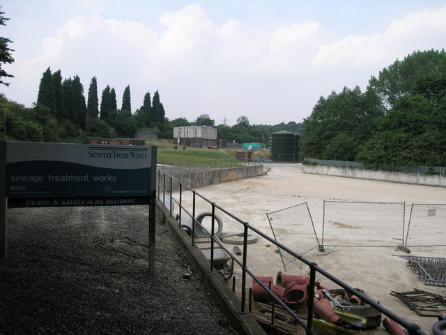
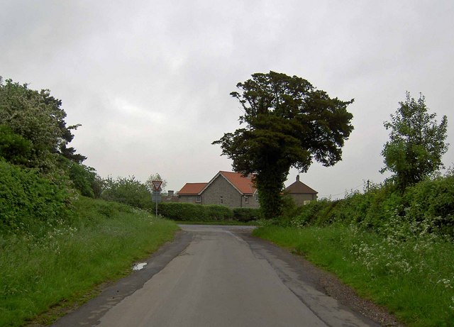
Colonel's Holt is a picturesque woodland area located in Yorkshire, England. With its dense forests and tranquil atmosphere, it offers a serene escape from the bustling city life. The wood is situated near the village of Holtby, just a few miles east of York.
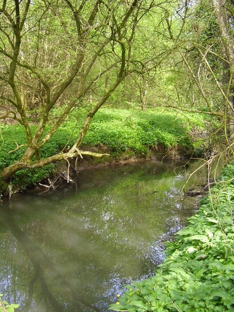
Covering an expansive area, Colonel's Holt is home to a diverse range of flora and fauna. The wood is primarily composed of native broadleaf trees such as oak, beech, and birch, creating a lush green canopy that provides shade and shelter to the woodland creatures. Bluebells carpet the forest floor during the spring months, adding a vibrant burst of color to the landscape.
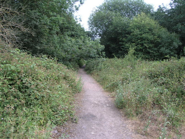
The wood is crisscrossed with numerous walking trails, making it an ideal destination for nature lovers and hikers. These trails wind through the forest, offering visitors the opportunity to explore its hidden corners and discover its natural beauty. Birdwatchers will be delighted to spot a variety of avian species, including woodpeckers, owls, and various songbirds that call Colonel's Holt their home.
Colonel's Holt is also known for its historical significance. The wood takes its name from Colonel Thomas Holt, a local landowner who once owned the estate surrounding the area. The remnants of an old manor house can still be seen within the wood, adding an air of mystery and intrigue to the landscape.
Overall, Colonel's Holt in Yorkshire is a haven for nature enthusiasts, offering a serene and captivating experience amidst its enchanting woodlands and rich history.
If you have any feedback on the listing, please let us know in the comments section below.
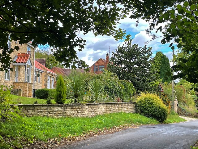
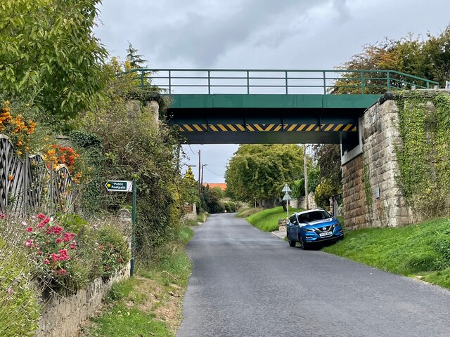
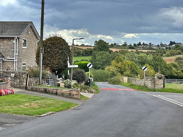
Colonel's Holt Images
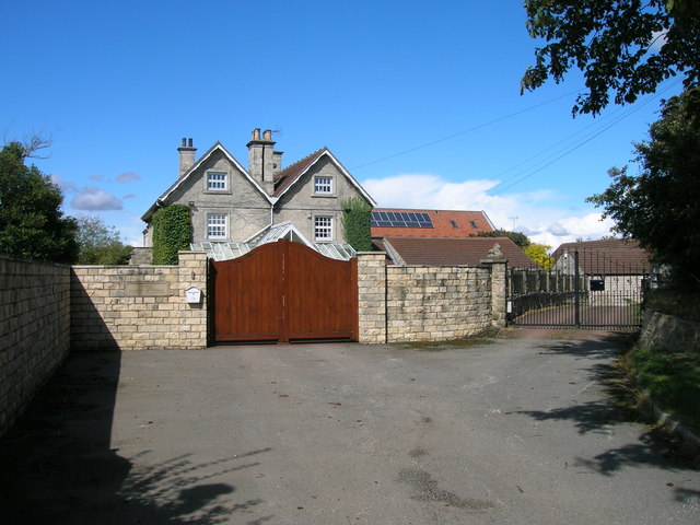
Images are sourced within 2km of 53.397466/-1.1968482 or Grid Reference SK5389. Thanks to Geograph Open Source API. All images are credited.

Colonel's Holt is located at Grid Ref: SK5389 (Lat: 53.397466, Lng: -1.1968482)
Division: West Riding
Unitary Authority: Rotherham
Police Authority: South Yorkshire
What 3 Words
///phantom.unfocused.town. Near Maltby, South Yorkshire
Nearby Locations
Related Wikis

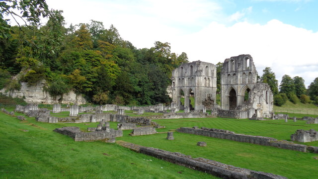
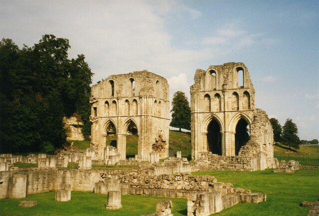
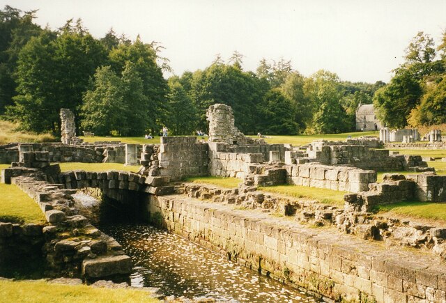
Roche Abbey
Roche Abbey is a now-ruined abbey in the civil parish of Maltby, Rotherham, South Yorkshire, England. It is in the valley of Maltby Dyke, known locally...

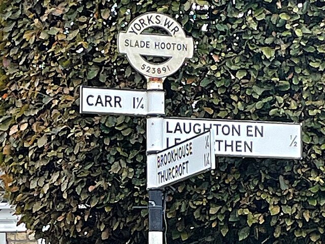
Slade Hooton
Slade Hooton is a hamlet in the Metropolitan Borough of Rotherham, in South Yorkshire, England. Historically in the West Riding of Yorkshire, the hamlet...

Stone, South Yorkshire
Stone is a hamlet in the civil parish of Maltby, in the Rotherham district lying to the south of Rotherham, South Yorkshire, England. Roche Abbey stands...
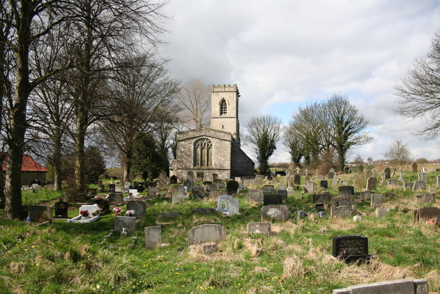
St John's Church, Throapham
St John's Church is a redundant Anglican church near the village of Throapham, on the road between Dinnington and Laughton-en-le-Morthen, South Yorkshire...
Nearby Amenities
Located within 500m of 53.397466,-1.1968482Have you been to Colonel's Holt?
Leave your review of Colonel's Holt below (or comments, questions and feedback).