Slade Hills Plantation
Wood, Forest in Yorkshire
England
Slade Hills Plantation
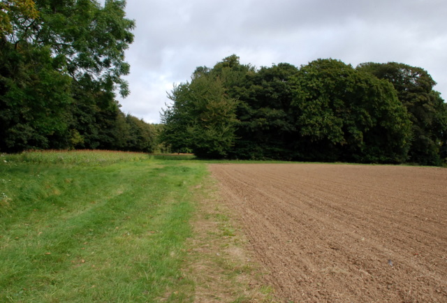
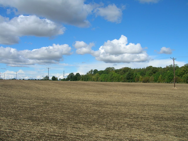
Slade Hills Plantation is a picturesque woodland area located in the scenic region of Yorkshire, England. Nestled amidst the rolling hills, this enchanting forest spans an area of approximately 500 acres, making it a haven for nature enthusiasts and outdoor adventurers alike.
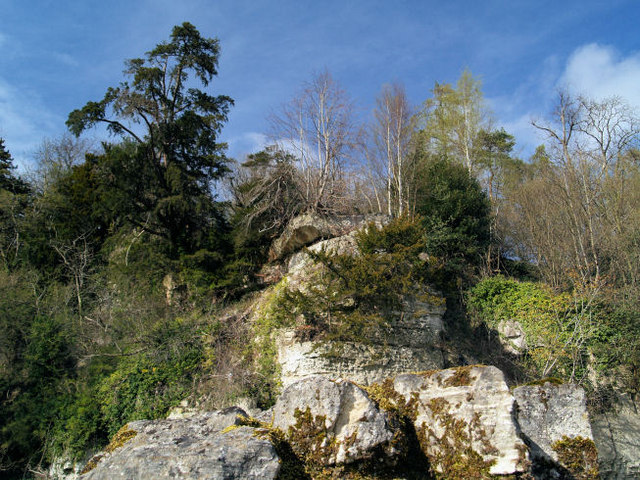
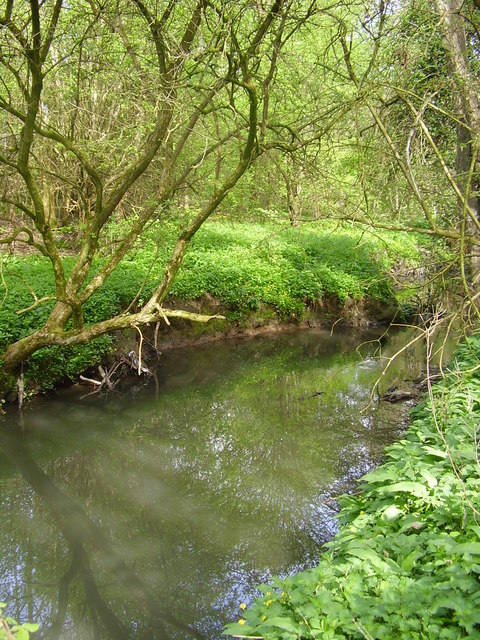
The plantation is characterized by its diverse range of tree species, including ancient oaks, towering beeches, and majestic pines. These trees create a dense canopy that provides a cool and refreshing ambience, especially during the hot summer months. The forest floor is adorned with a rich carpet of ferns, wildflowers, and moss, adding to the area's natural beauty.
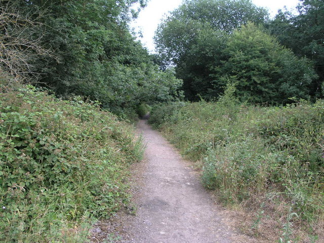
Walking through Slade Hills Plantation, visitors can enjoy a network of well-marked trails that wind through the woodland, offering breathtaking views of the surrounding countryside. These trails cater to all levels of fitness, ranging from easy strolls to more challenging hikes, ensuring there is something for everyone to enjoy.
The plantation is also home to a diverse array of wildlife, making it an ideal spot for birdwatchers and nature photographers. Common sightings include woodland birds, such as woodpeckers and owls, as well as small mammals like squirrels and rabbits. If lucky, visitors may even catch a glimpse of the elusive deer that roam the forest.
In addition to its natural wonders, Slade Hills Plantation offers a range of amenities for visitors. These include picnic areas, well-maintained restrooms, and a visitor center providing information about the flora, fauna, and history of the area.
Overall, Slade Hills Plantation in Yorkshire is a captivating destination that offers a serene and immersive experience in the heart of nature.
If you have any feedback on the listing, please let us know in the comments section below.
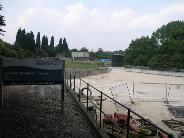
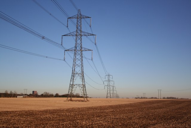
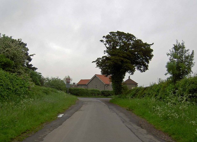
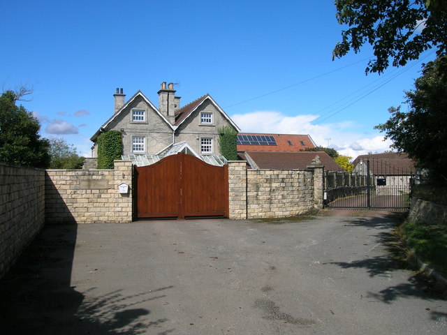
Slade Hills Plantation Images
Images are sourced within 2km of 53.396612/-1.1955108 or Grid Reference SK5389. Thanks to Geograph Open Source API. All images are credited.

Slade Hills Plantation is located at Grid Ref: SK5389 (Lat: 53.396612, Lng: -1.1955108)
Division: West Riding
Unitary Authority: Rotherham
Police Authority: South Yorkshire
What 3 Words
///cure.chucked.upcoming. Near Maltby, South Yorkshire
Nearby Locations
Related Wikis

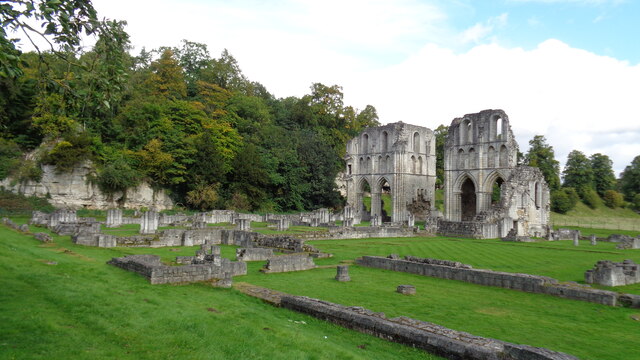
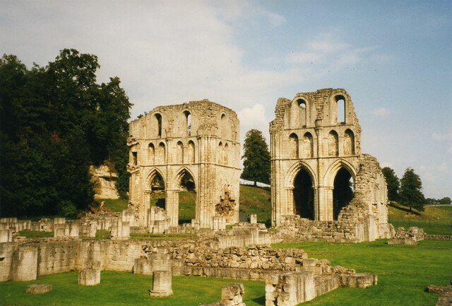
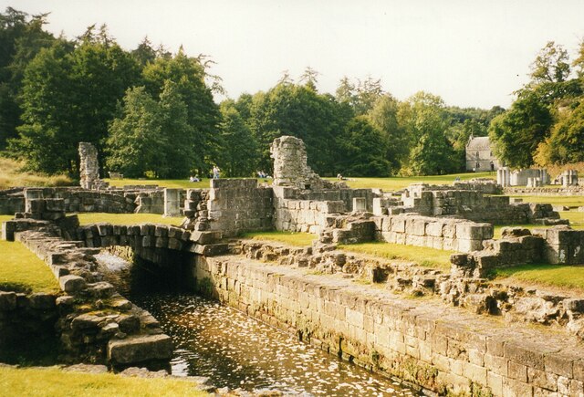
Roche Abbey
Roche Abbey is a now-ruined abbey in the civil parish of Maltby, Rotherham, South Yorkshire, England. It is in the valley of Maltby Dyke, known locally...

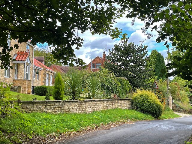
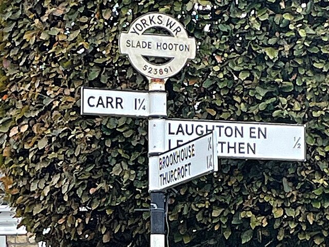
Slade Hooton
Slade Hooton is a hamlet in the Metropolitan Borough of Rotherham, in South Yorkshire, England. Historically in the West Riding of Yorkshire, the hamlet...

Stone, South Yorkshire
Stone is a hamlet in the civil parish of Maltby, in the Rotherham district lying to the south of Rotherham, South Yorkshire, England. Roche Abbey stands...
St John's Church, Throapham
St John's Church is a redundant Anglican church near the village of Throapham, on the road between Dinnington and Laughton-en-le-Morthen, South Yorkshire...
Nearby Amenities
Located within 500m of 53.396612,-1.1955108Have you been to Slade Hills Plantation?
Leave your review of Slade Hills Plantation below (or comments, questions and feedback).