Brewster Hill Wood
Wood, Forest in Yorkshire Ryedale
England
Brewster Hill Wood
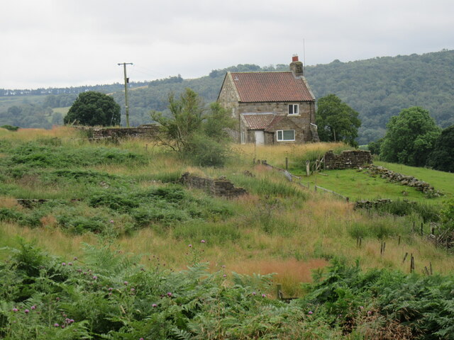
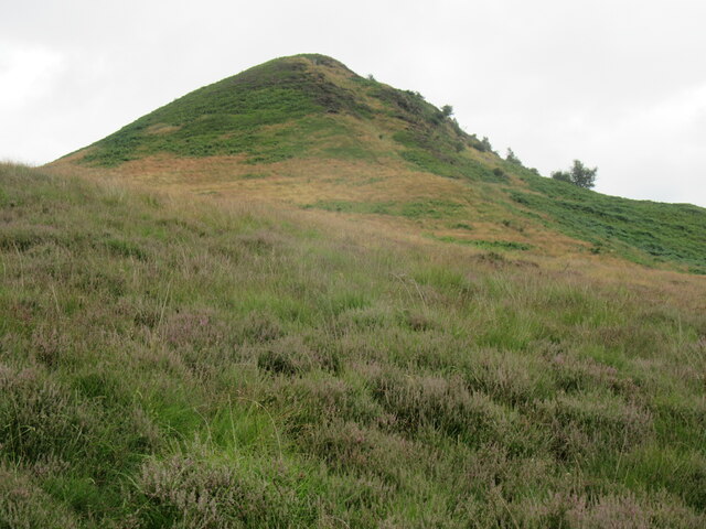
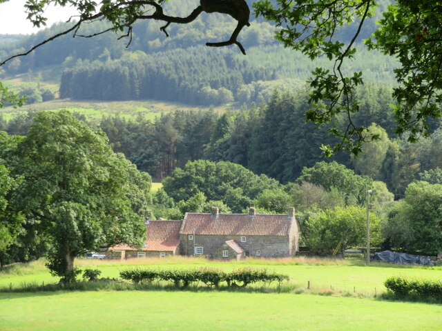
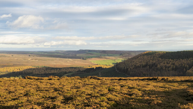
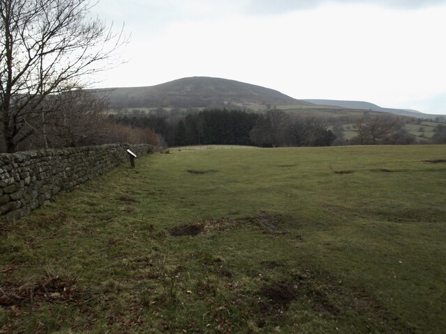
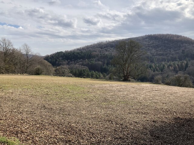
Brewster Hill Wood is a charming woodland located in the picturesque county of Yorkshire, England. Situated on the slopes of Brewster Hill, the wood covers an area of approximately 50 hectares and is a haven for nature enthusiasts and outdoor adventurers alike.
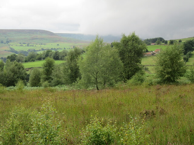
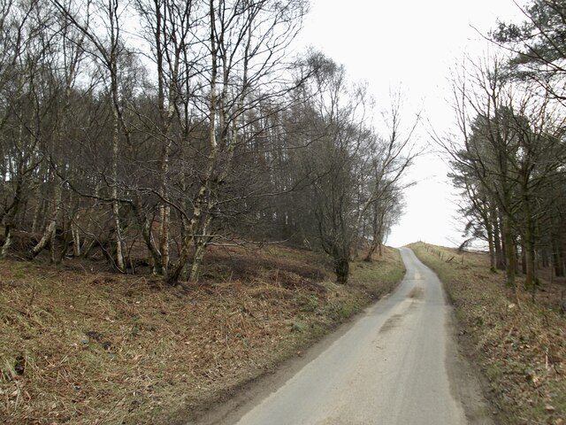
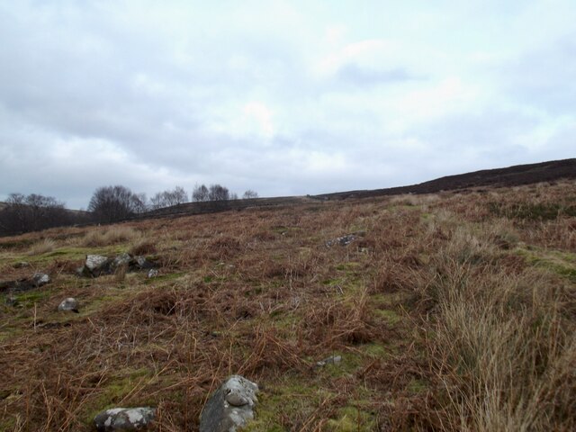
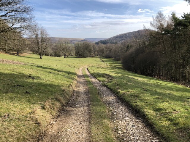
The wood is predominantly composed of mature deciduous trees, including oak, beech, and birch, which create a beautifully diverse and vibrant canopy. The forest floor is carpeted with an array of wildflowers, such as bluebells and primroses, creating a stunning display during the spring months.
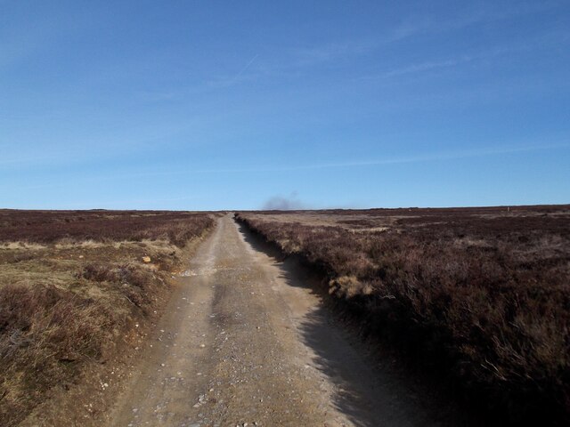
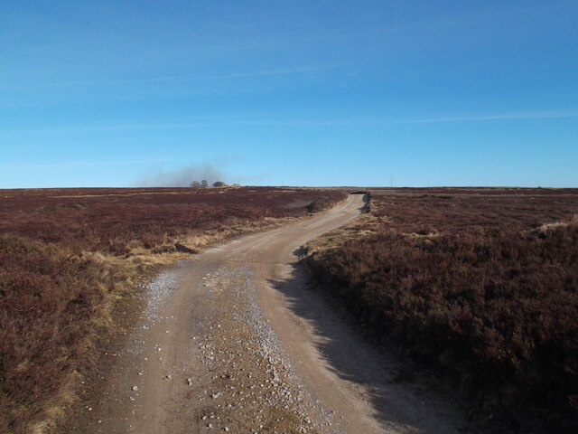
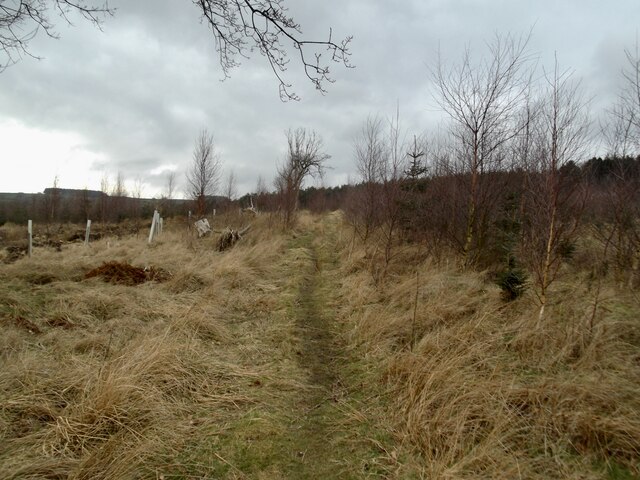
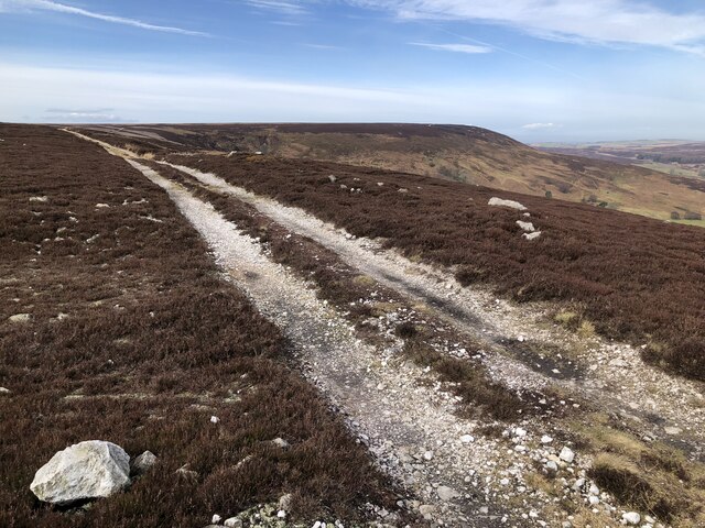
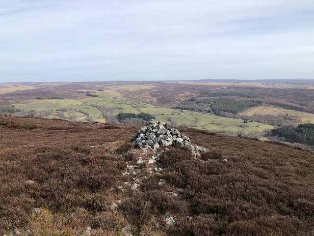
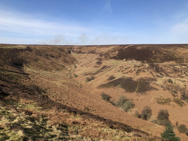
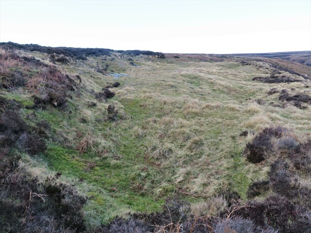
Brewster Hill Wood offers a range of walking trails, allowing visitors to explore its natural wonders at their own pace. The trails wind through the wood, crossing babbling brooks and passing by small ponds, providing ample opportunities for wildlife sightings. The wood is home to a variety of animal species, including deer, badgers, and a plethora of bird species, making it a popular spot for birdwatchers.
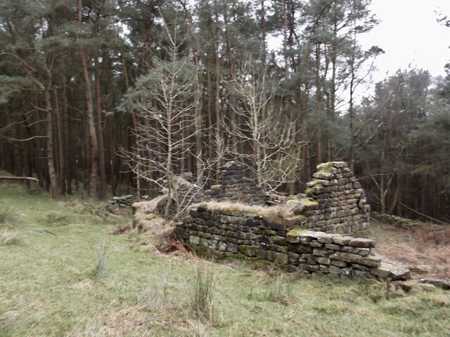
In addition to its natural beauty, Brewster Hill Wood also has historical significance. The remains of an ancient Roman road can be found within the wood, providing a glimpse into the area's rich past.
Whether you are seeking a peaceful stroll amidst nature's tranquility or an opportunity to immerse yourself in the history of the land, Brewster Hill Wood offers a memorable experience for all who visit.
If you have any feedback on the listing, please let us know in the comments section below.
Brewster Hill Wood Images
Images are sourced within 2km of 54.325858/-1.1926354 or Grid Reference SE5292. Thanks to Geograph Open Source API. All images are credited.
Brewster Hill Wood is located at Grid Ref: SE5292 (Lat: 54.325858, Lng: -1.1926354)
Division: North Riding
Administrative County: North Yorkshire
District: Ryedale
Police Authority: North Yorkshire
What 3 Words
///lifeboats.facelift.surfaces. Near Bilsdale, North Yorkshire
Nearby Locations
Related Wikis

Hawnby
Hawnby is a small crossroads village and civil parish in Ryedale in the North York Moors National Park, North Yorkshire, England. The village is about...

Laskill
Laskill is a small hamlet in Bilsdale, 5 miles (8 km) north-west of Helmsley, North Yorkshire, England, on the road from Helmsley to Stokesley and is located...
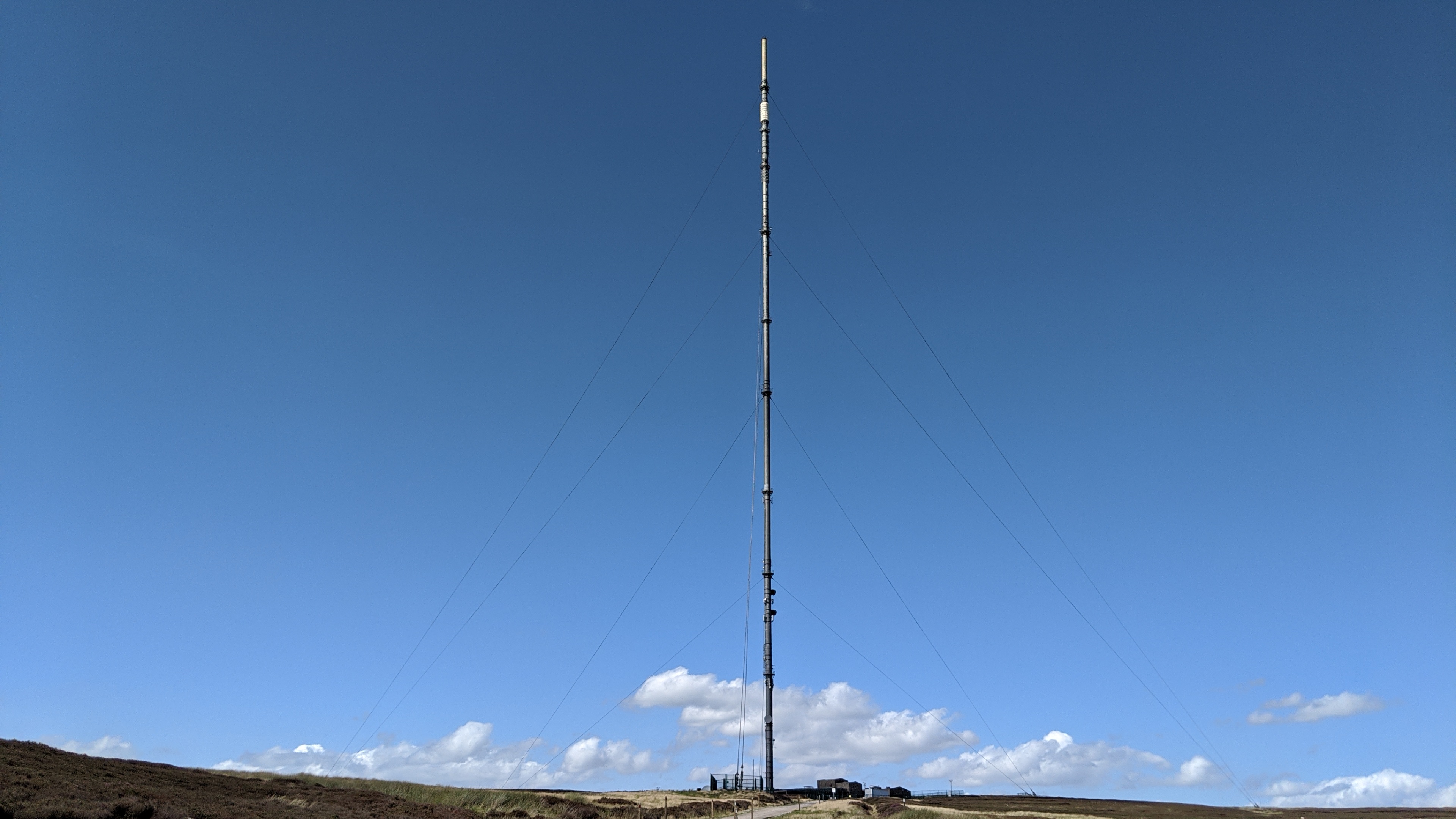
Bilsdale transmitting station
The Bilsdale transmitting station is a broadcasting and telecommunications facility, located at Bilsdale West Moor above Bilsdale, close to Helmsley, North...

Bilsdale
Bilsdale is a dale in the western part of the North York Moors in North Yorkshire, England. The head of the dale is at Hasty Bank, and the dale extends...

Kepwick
Kepwick is a village and civil parish in the Hambleton district of North Yorkshire, England, on the North York Moors and near the A19. The population according...

Cowesby
Cowesby is a village and civil parish in the Hambleton District of North Yorkshire, England. Part of the village including The Cowesby Hall Estate is within...

Holy Trinity Church, Boltby
Holy Trinity Church, Boltby is a parish church in the Church of England: 81 in Boltby. == History == The first chapel was founded in 1409 and was rebuilt...

Boltby
Boltby is a village and civil parish in the Hambleton District of North Yorkshire, England. It is on the edge of the North York Moors National Park at...
Nearby Amenities
Located within 500m of 54.325858,-1.1926354Have you been to Brewster Hill Wood?
Leave your review of Brewster Hill Wood below (or comments, questions and feedback).