Nearcliff Wood

Wood, Forest in Yorkshire

England

Nearcliff Wood

Conisbrough Railway Station Seen from the pedestrian bridge.
Conisbrough Railway Station Credit: Neil Theasby

Nearcliff Wood is a picturesque woodland located in the county of Yorkshire, England. It covers an area of approximately 100 hectares and is nestled between the rolling hills of the Yorkshire Dales and the North York Moors. The wood is situated near the small village of Nearcliff, which gives it its name.

The wood is predominantly made up of native broadleaf trees such as oak, beech, and ash, creating a rich and diverse ecosystem. These trees provide a canopy that offers shade and shelter to a variety of plant and animal species. Bluebells, wild garlic, and wood sorrel thrive in the woodland's damp and fertile soil, creating a stunning display of colors during the spring months.

Nearcliff Wood is a haven for wildlife enthusiasts, as it is home to a wide range of species. Birdwatchers can spot woodpeckers, nuthatches, and tawny owls, among others. The wood is also inhabited by mammals such as roe deer, badgers, and foxes, which can occasionally be glimpsed during early mornings or evenings.

Walking trails wind their way through the wood, allowing visitors to explore its beauty at their own pace. These paths provide access to scenic viewpoints, tranquil ponds, and hidden glades, making it an ideal destination for nature lovers and photographers.

Nearcliff Wood is managed by the local conservation trust, which ensures its preservation and protection for future generations. It offers a serene escape from the bustling city life, providing a peaceful retreat for both locals and tourists seeking solace in nature's embrace.

If you have any feedback on the listing, please let us know in the comments section below.

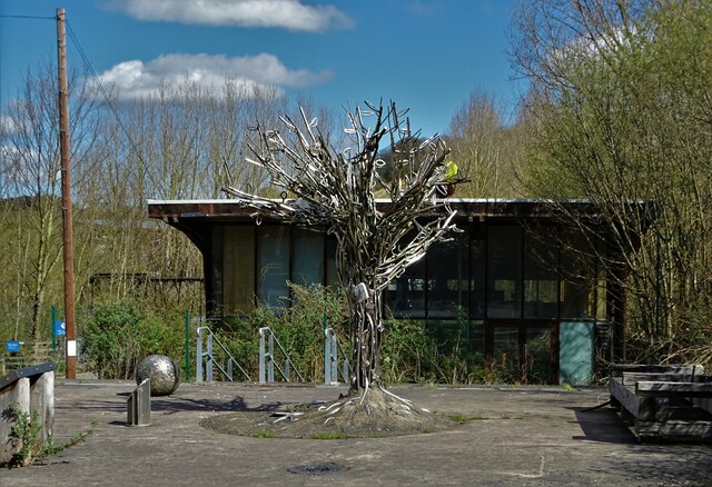
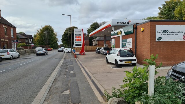
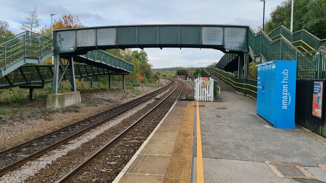
Nearcliff Wood Images

Images are sourced within 2km of 53.487505/-1.2086978 or Grid Reference SK5299. Thanks to Geograph Open Source API. All images are credited.

Conisbrough Railway Station Seen from the pedestrian bridge.
Conisbrough Railway Station
Seen from the pedestrian bridge.
Rainbow Bridge Functioning railway bridge crossing The River Don near Conisbrough
Rainbow Bridge
Functioning railway bridge crossing The River Don near Conisbrough
By The River Don - approaching Conisbrough Viaduct
The River Don seen from Conisbrough Viaduct
Dearne Street, Conisbrough
Legacy of Failure At the disused entrance to "The Earth Centre" which operated between 1999 and 2004. In spite of enormous funding and lofty ambitions it was ultimately a dismal failure. See <span class="nowrap"><a title="https://en.wikipedia.org/wiki/Earth_Centre,_Doncaster" rel="nofollow ugc noopener" href="https://en.wikipedia.org/wiki/Earth_Centre,_Doncaster">Link</a><img style="margin-left:2px;" alt="External link" title="External link - shift click to open in new window" src="https://s1.geograph.org.uk/img/external.png" width="10" height="10"/></span>
Legacy of Failure
At the disused entrance to "The Earth Centre" which operated between 1999 and 2004. In spite of enormous funding and lofty ambitions it was ultimately a dismal failure. See LinkExternal link
Beneath the awesome Conisbrough Railway Viaduct With The River Don flowing by beneath it. 

"The magnificent Conisbrough viaduct is impossible to overlook with its 21 arches, 150 foot lattice iron girder span over the river, and 1,527 feet in length. Opened in 1909, it was part of a connection between the Hull & Barnsley Railway and those of the Great Northern and Great Eastern. It consists of more than 15 million bricks, and features some beautiful decorative brickwork." - copied from the "Railway Paths" website.
Beneath the awesome Conisbrough Railway Viaduct
With The River Don flowing by beneath it. "The magnificent Conisbrough viaduct is impossible to overlook with its 21 arches, 150 foot lattice iron girder span over the river, and 1,527 feet in length. Opened in 1909, it was part of a connection between the Hull & Barnsley Railway and those of the Great Northern and Great Eastern. It consists of more than 15 million bricks, and features some beautiful decorative brickwork." - copied from the "Railway Paths" website.
Conisbrough Castle The barbican and keep
Conisbrough Castle
The barbican and keep
Abandoned roadway On site of former Cadeby Main colliery and railway towards Conisbrough Viaduct
Abandoned roadway
On site of former Cadeby Main colliery and railway towards Conisbrough Viaduct
Constitution Hill road bridge
Conisbrough Viaduct
Conisbrough Viaduct
Don Valley from Conisbrough Viaduct Looking towards Conisbrough Castle
Don Valley from Conisbrough Viaduct
Looking towards Conisbrough Castle
Don Valley from Conisbrough Viaduct Looking west
Don Valley from Conisbrough Viaduct
Looking west
Don Valley from Conisbrough Viaduct Looking east
Don Valley from Conisbrough Viaduct
Looking east
Houses on Doncaster Road
Filling station on A630 Recording what is a low price in these parts in October 2022, with every pump in service
Filling station on A630
Recording what is a low price in these parts in October 2022, with every pump in service
Conisbrough Castle From Coronation Park
Conisbrough Castle
From Coronation Park
Conisbrough Station Looking east. 

The ramps to the footbridge must are so long that almost anyone with disabilities would rather struggle up the steps!
Conisbrough Station
Looking east. The ramps to the footbridge must are so long that almost anyone with disabilities would rather struggle up the steps!
Show me another place!

Nearcliff Wood is located at Grid Ref: SK5299 (Lat: 53.487505, Lng: -1.2086978)

Division: West Riding

Unitary Authority: Doncaster

Police Authority: South Yorkshire

What 3 Words

///pencils.round.processes. Near Conisbrough, South Yorkshire

Related Wikis

Conisbrough Viaduct

Conisbrough Viaduct is a former railway viaduct, near to Cadeby and Conisbrough in South Yorkshire, England. The viaduct consists of two sections of brick...
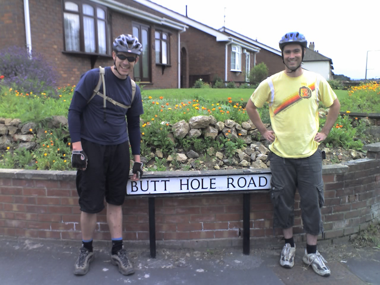
Butt Hole Road

Archers Way, formerly named Butt Hole Road, is a street in Conisbrough, Doncaster, South Yorkshire, England. The short residential street gained fame for...

Cudworth Urban District

Cudworth was an urban district in the West Riding of Yorkshire, England between 1900 and 1974. It encompassed the towns of Cudworth and Upper Cudworth...

Conisbrough Urban District

Conisbrough was an urban district in the West Riding of Yorkshire, England between 1921 and 1974. It encompassed the towns of Conisbrough and Denaby Main...

Nearby Amenities

Located within 500m of 53.487505,-1.2086978
Bus Stop
Doncaster Road/Butt Hole Road
Naptan AtcoCode: 370045582
Naptan Bearing: SW
Naptan CommonName: Doncaster Road/Butt Hole Road
Naptan Indicator: 45582
Naptan Landmark: Conisbrough Viaduct/Opposite
Naptan PlusbusZoneRef: ROTHCEN
Naptan Street: Doncaster Road
Naptan Verified: no
Source: naptan_import
Lat/Long: 53.4852654/-1.2108708
Bus Stop
Doncaster Road/Cliff Fields
Alt Name: Doncaster Road/Cliff Fields
Naptan AltCommonName: Doncaster Road/Cliff Fields
Naptan AtcoCode: 370045586
Naptan Bearing: SW
Naptan CommonName: Doncaster Road/Cliff Fields
Naptan Indicator: 45586
Naptan Landmark: Cliff Fields/Water Tower
Naptan PlusbusZoneRef: ROTHCEN
Naptan Street: Doncaster Road
Naptan Verified: no
Source: naptan_import
Lat/Long: 53.4888172/-1.2030526
Bus Stop
Doncaster Road/Nearcliff Wood
Alt Name: Doncaster Road/Nearcliff Wood
Naptan AltCommonName: Doncaster Road/Nearcliff Wood
Naptan AtcoCode: 370045595
Naptan Bearing: NE
Naptan CommonName: Doncaster Road/Nearcliff Wood
Naptan Indicator: 45595
Naptan Landmark: Nearcliff Wood
Naptan PlusbusZoneRef: ROTHCEN
Naptan Street: Doncaster Road
Naptan Verified: no
Source: naptan_import
Lat/Long: 53.4855227/-1.2102969
Bus Stop
Doncaster Road/Cliff Fields
Alt Name: Doncaster Road/Cliff Fields
Naptan AltCommonName: Doncaster Road/Cliff Fields
Naptan AtcoCode: 370045596
Naptan Bearing: NE
Naptan CommonName: Doncaster Road/Cliff Fields
Naptan Indicator: 45596
Naptan Landmark: CLIFF FIELDS/WATER TOWER AND W
Naptan PlusbusZoneRef: ROTHCEN
Naptan Street: Doncaster Road
Naptan Verified: no
Source: naptan_import
Lat/Long: 53.4887747/-1.2034152
Turning Circle
Lat/Long: 53.4841135/-1.2100422
Man Made: water_tower
Lat/Long: 53.4891547/-1.2033467
Generator Method: photovoltaic
Generator Output Electricity: yes
Generator Source: solar
Generator Type: solar_photovoltaic_panel
Location: roof
Power: generator
Lat/Long: 53.4846711/-1.2121587
Generator Method: photovoltaic
Generator Output Electricity: yes
Generator Source: solar
Generator Type: solar_photovoltaic_panel
Location: roof
Power: generator
Lat/Long: 53.4858409/-1.2137063
Generator Method: photovoltaic
Generator Output Electricity: yes
Generator Source: solar
Generator Type: solar_photovoltaic_panel
Location: roof
Power: generator
Lat/Long: 53.4860085/-1.2145325
Generator Method: photovoltaic
Generator Output Electricity: yes
Generator Source: solar
Generator Type: solar_photovoltaic_panel
Location: roof
Power: generator
Lat/Long: 53.4863357/-1.2159889
Crossing
Crossing Island: yes
Lat/Long: 53.4851265/-1.2114805
Note: Goes further
Lat/Long: 53.4866263/-1.2156627
Note: Goes further
Lat/Long: 53.487388/-1.2143034
Noexit: yes
Lat/Long: 53.4903906/-1.2114651
The data included in this document is from www.openstreetmap.org. The data is made available under ODbL.

Have you been to Nearcliff Wood?

Leave your review of Nearcliff Wood below (or comments, questions and feedback).