Joey's Belt
Wood, Forest in Hampshire Winchester
England
Joey's Belt
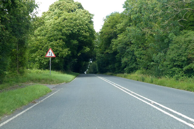
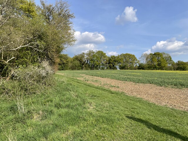
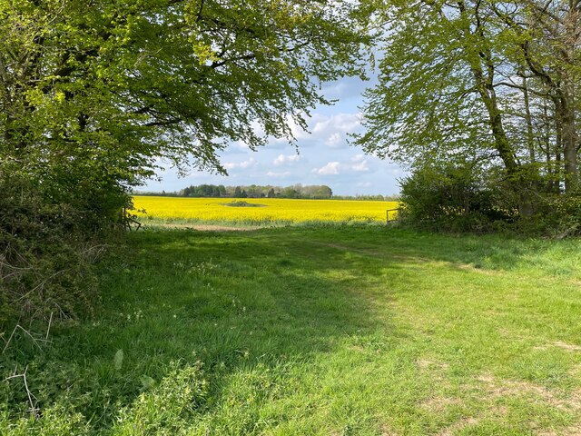
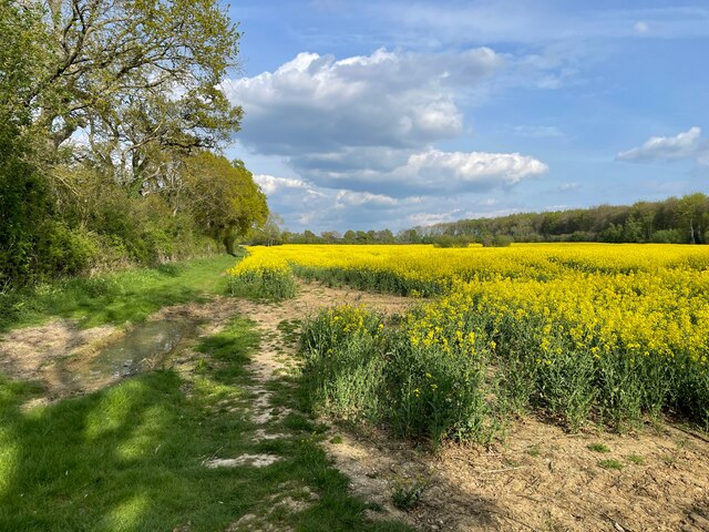
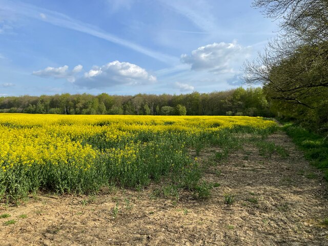
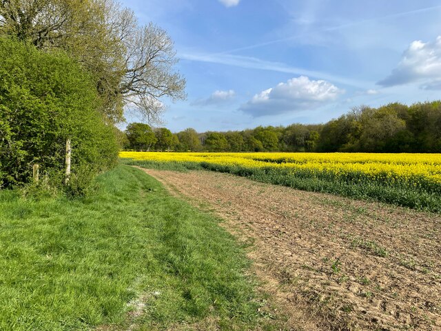
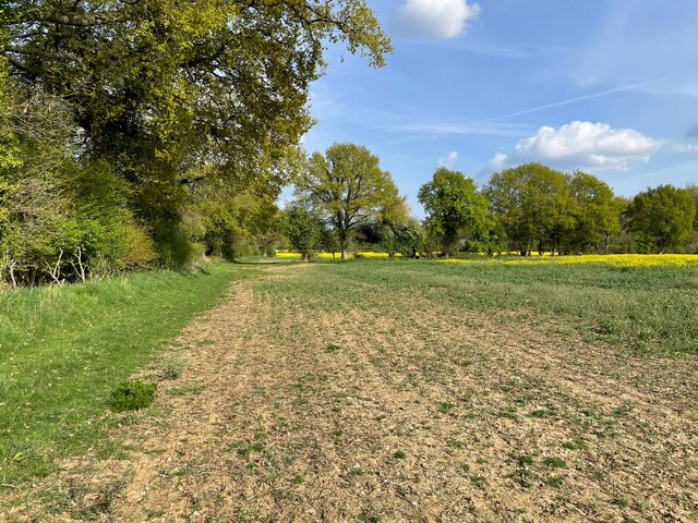
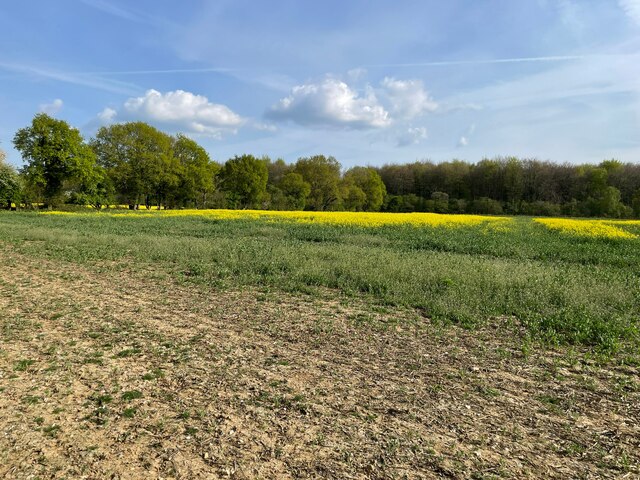
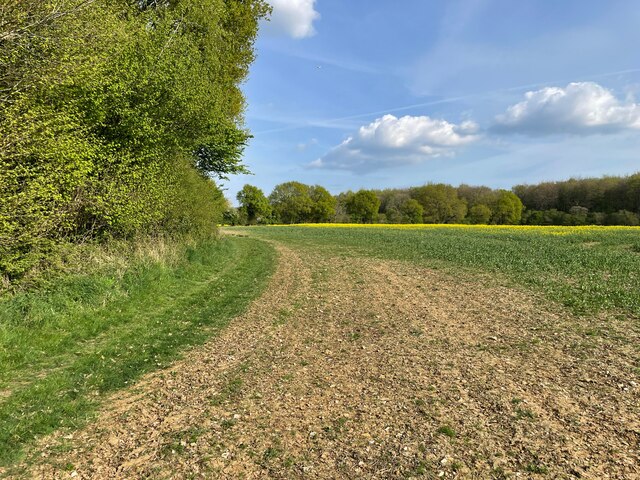
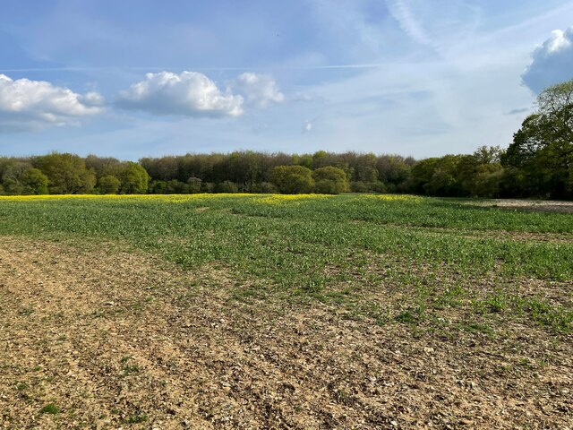
Joey's Belt is a picturesque woodland area located in the county of Hampshire, England. This enchanting forest is known for its abundant variety of wood species and captivating natural beauty. Stretching across several acres, Joey's Belt offers a tranquil escape from the bustling city life.
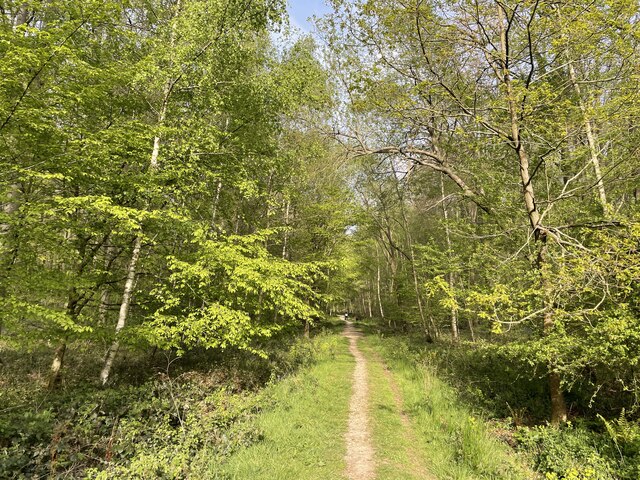
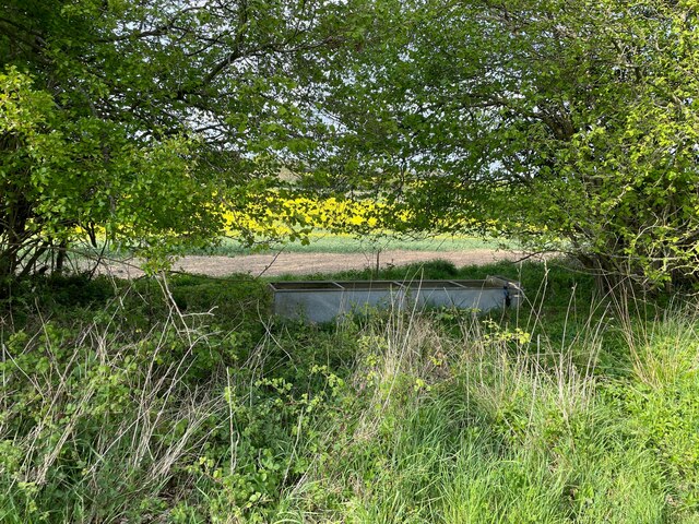
The woodland is characterized by its dense canopy, composed mainly of towering oak, beech, and maple trees. These majestic trees provide a rich habitat for an array of wildlife, including deer, rabbits, and various bird species. The forest floor is covered in a lush carpet of ferns, wildflowers, and mosses, creating a stunning and vibrant undergrowth.
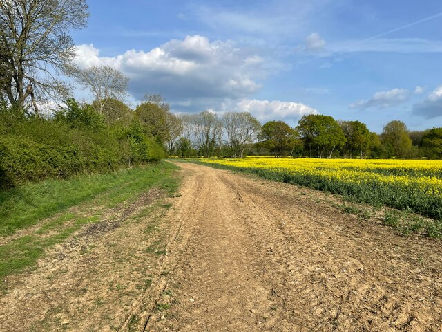
Joey's Belt is a popular destination for nature enthusiasts, hikers, and photographers. Its well-maintained trails and footpaths offer visitors the opportunity to explore its hidden wonders and immerse themselves in the serene atmosphere. The forest also features a small river that meanders through its heart, adding to its allure.
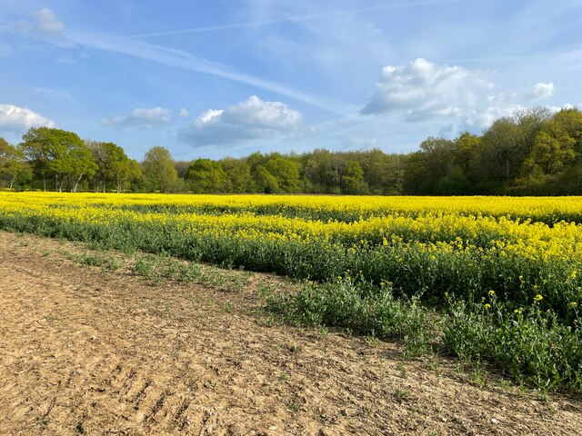
During the autumn season, Joey's Belt becomes a captivating spectacle of colors as the leaves change from vibrant greens to fiery reds, oranges, and yellows. The forest is also home to numerous species of mushrooms, adding an extra touch of magic to the landscape.
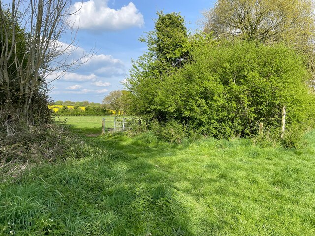
Managed by the Hampshire County Council, Joey's Belt is a cherished natural treasure in the region. It provides a valuable habitat for wildlife, contributes to the local ecosystem, and offers residents and visitors alike a chance to reconnect with nature. With its tranquil ambiance and breathtaking scenery, Joey's Belt is a must-visit destination for anyone seeking solace in the beauty of Hampshire's woodlands.
If you have any feedback on the listing, please let us know in the comments section below.
Joey's Belt Images
Images are sourced within 2km of 51.14808/-1.2539346 or Grid Reference SU5239. Thanks to Geograph Open Source API. All images are credited.
Joey's Belt is located at Grid Ref: SU5239 (Lat: 51.14808, Lng: -1.2539346)
Administrative County: Hampshire
District: Winchester
Police Authority: Hampshire
What 3 Words
///mammoth.gurgled.relocated. Near Kings Worthy, Hampshire
Nearby Locations
Related Wikis

Micheldever
Micheldever is a village and civil parish in Hampshire, England, situated 6 miles (10 km) north of Winchester. It lies upon the River Dever . The river...

St Mary's Church, Micheldever
St Mary's Church is an Anglican church in Micheldever, Hampshire, England. It is in the Diocese of Winchester. The building, which is Grade II* listed...

Hampshire Downs
The Hampshire Downs form a large area of downland in central southern England, mainly in the county of Hampshire but with parts in Berkshire and Wiltshire...

West Stratton
West Stratton is a village in the civil parish of Micheldever in the City of Winchester district of Hampshire, England. The village lies close to the M3...
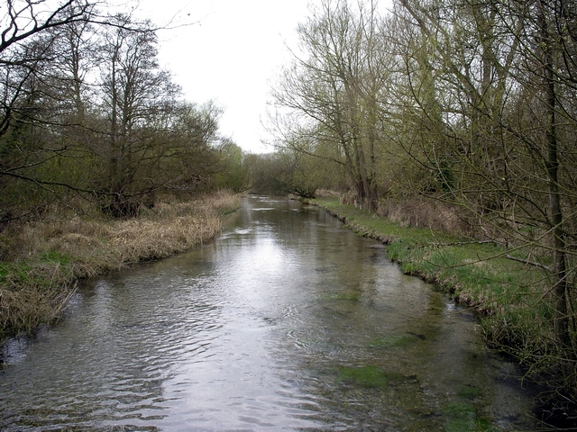
River Dever
The River Dever is a chalk stream in Hampshire in the south of England. It rises at West Stratton near Micheldever and flows westwards for 11 mi (18 km...

Micheldever Wood
Micheldever Wood is a wood near the village of Micheldever, in Hampshire, England, about 5 miles (8 km) north-east of Winchester. It is managed by Forestry...

East Stratton
East Stratton is an estate village and former civil parish, now in the parish of Micheldever, in the Winchester district, in the county of Hampshire, England...

Stratton Park
Stratton Park, in East Stratton, Hampshire, was an English country house, built on the site of a grange of Hyde Abbey after the dissolution of the monasteries...
Nearby Amenities
Located within 500m of 51.14808,-1.2539346Have you been to Joey's Belt?
Leave your review of Joey's Belt below (or comments, questions and feedback).