Highways
Settlement in Hampshire Winchester
England
Highways
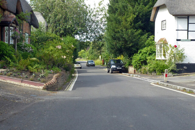
Highways is a small village located in the county of Hampshire, England. Situated in the South East of the country, it lies approximately 12 miles north of the city of Winchester and 17 miles south of Basingstoke. The village is nestled in a rural area, surrounded by picturesque countryside and rolling hills.
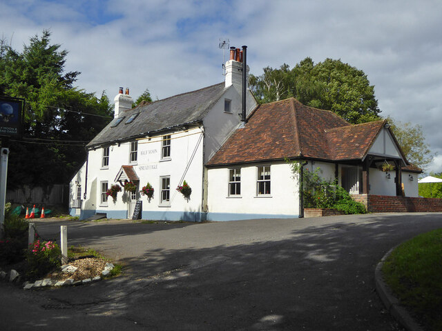
Highways is a close-knit community with a population of around 500 residents. It is known for its peaceful and tranquil atmosphere, making it an ideal place for those seeking a quieter lifestyle away from the hustle and bustle of larger towns and cities. The village offers a range of amenities to cater to the needs of its residents, including a local pub, a community center, and a village hall.
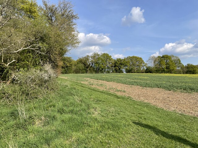
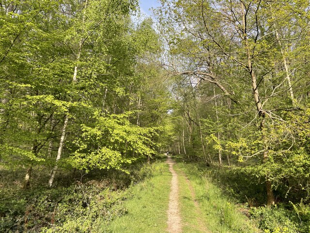
The surrounding countryside provides ample opportunities for outdoor activities such as hiking, cycling, and horse riding. There are several nature reserves and parks nearby, offering stunning views and abundant wildlife. Additionally, the village is well-connected to nearby towns and cities by road, with easy access to major routes such as the A34 and M3 motorway.
Highways is also within close proximity to several historic landmarks and attractions. Winchester Cathedral, one of the largest Gothic cathedrals in Europe, is just a short drive away. The village is also located near the South Downs National Park, a designated Area of Outstanding Natural Beauty, which offers visitors a chance to explore its diverse landscapes and enjoy various recreational activities.
Overall, Highways, Hampshire is a charming village that offers a peaceful and idyllic setting for its residents, while also providing easy access to nearby towns, cities, and popular tourist destinations.
If you have any feedback on the listing, please let us know in the comments section below.
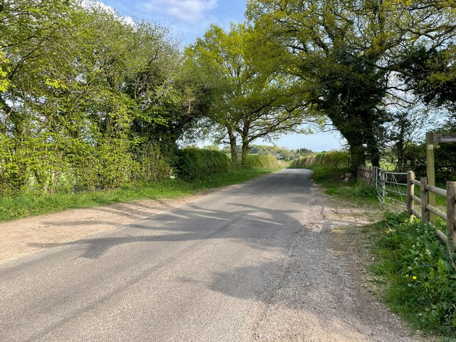
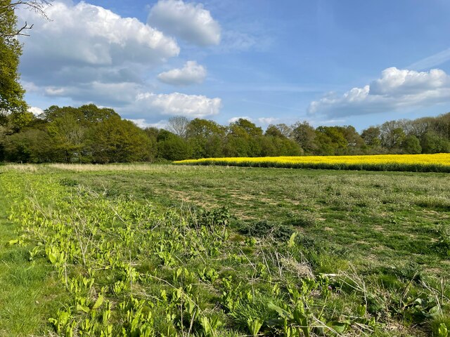
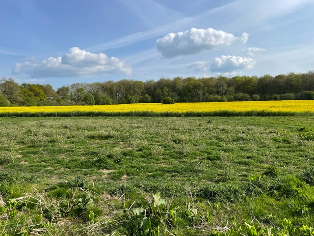
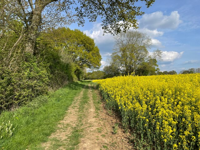
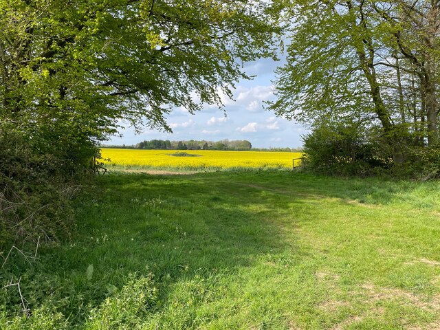
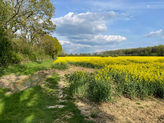
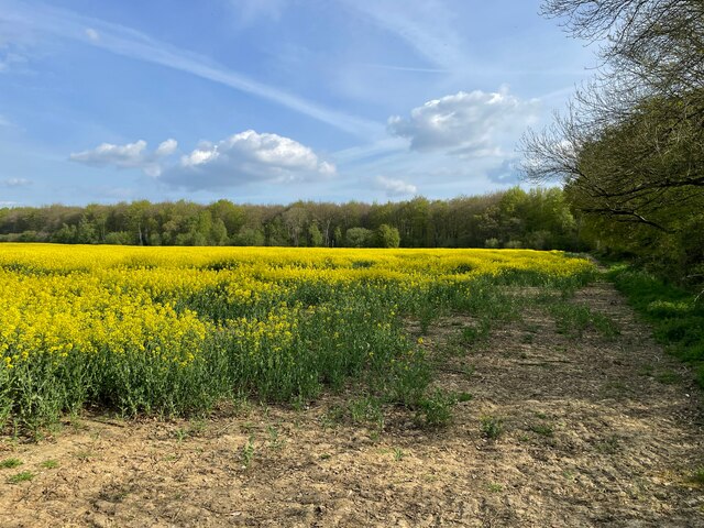
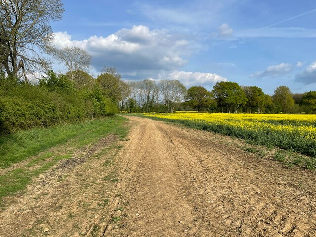
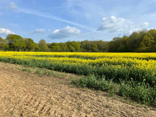
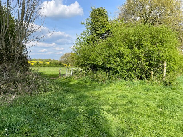
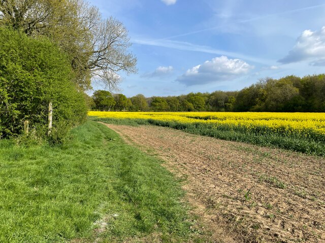
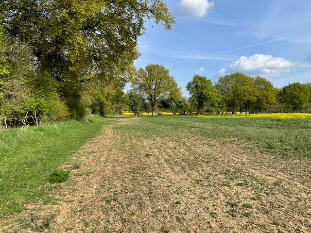
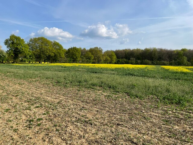
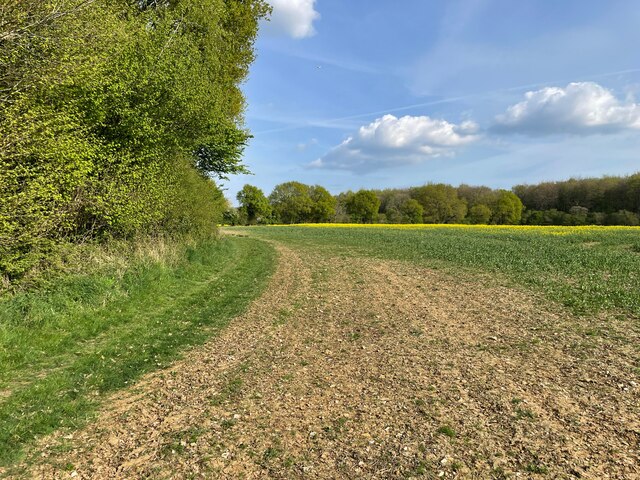
Highways Images
Images are sourced within 2km of 51.149697/-1.2439006 or Grid Reference SU5239. Thanks to Geograph Open Source API. All images are credited.
Highways is located at Grid Ref: SU5239 (Lat: 51.149697, Lng: -1.2439006)
Administrative County: Hampshire
District: Winchester
Police Authority: Hampshire
What 3 Words
///hype.admiral.cyber. Near Kings Worthy, Hampshire
Nearby Locations
Related Wikis

Hampshire Downs
The Hampshire Downs form a large area of downland in central southern England, mainly in the county of Hampshire but with parts in Berkshire and Wiltshire...
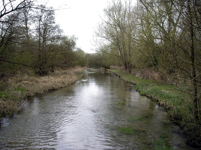
River Dever
The River Dever is a chalk stream in Hampshire in the south of England. It rises at West Stratton near Micheldever and flows westwards for 11 mi (18 km...

West Stratton
West Stratton is a village in the civil parish of Micheldever in the City of Winchester district of Hampshire, England. The village lies close to the M3...

East Stratton
East Stratton is an estate village and former civil parish, now in the parish of Micheldever, in the Winchester district, in the county of Hampshire, England...

Stratton Park
Stratton Park, in East Stratton, Hampshire, was an English country house, built on the site of a grange of Hyde Abbey after the dissolution of the monasteries...

Micheldever
Micheldever is a village and civil parish in Hampshire, England, situated 6 miles (10 km) north of Winchester. It lies upon the River Dever . The river...

St Mary's Church, Micheldever
St Mary's Church is an Anglican church in Micheldever, Hampshire, England. It is in the Diocese of Winchester. The building, which is Grade II* listed...

Micheldever Wood
Micheldever Wood is a wood near the village of Micheldever, in Hampshire, England, about 5 miles (8 km) north-east of Winchester. It is managed by Forestry...
Nearby Amenities
Located within 500m of 51.149697,-1.2439006Have you been to Highways?
Leave your review of Highways below (or comments, questions and feedback).