Bar Plantation

Wood, Forest in Yorkshire

England

Bar Plantation

Old milestone A view of the West Riding CC milestone on the brow of a hill on the A639 a mile northwest of the A1 at Barnsdale Bar.   This face reads - BOROUGHBRIDGE/35 MILES/WETHERBY/22¼ MILES/LEEDS/18½ MILES/ABERFORD/15½ MILES/PONTEFRACT/5¼ MILES.   Some of the legend on this face is below soil level.   Left face -DONCASTER/9 MILES.   
Top -BARNSDALE & LEEDS/ROAD/KIRK SMEATON.   Kirk Smeaton is to the east of the A1.  The foundry name Brayshaw and Booth, Liversedge is on the bevel.
Old milestone Credit: Hilary Jones

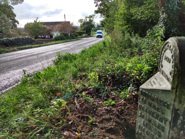
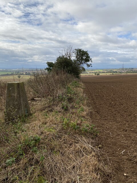
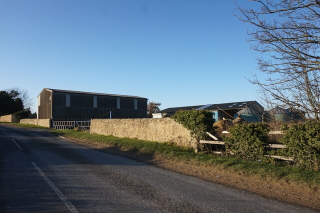
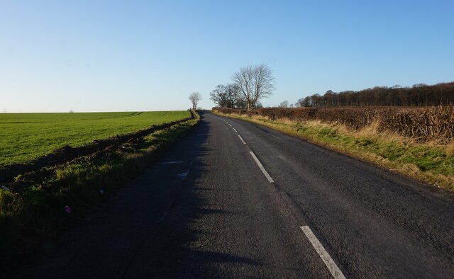
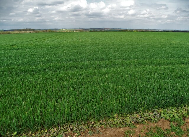
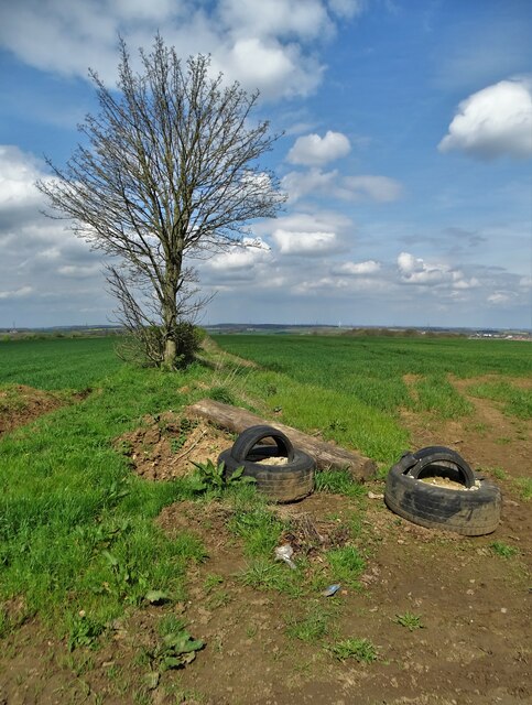
Bar Plantation is a picturesque woodland area located in Yorkshire, England. Situated in the heart of the county, this charming forest is a haven for nature enthusiasts and outdoor lovers. Covering an expansive area, Bar Plantation is known for its dense woodland, diverse flora, and abundance of wildlife.

The forest is predominantly composed of various species of trees, including oak, beech, and birch. These towering trees create a dense canopy that provides shelter and a tranquil ambiance for visitors. The woodland floor is adorned with a rich carpet of mosses, ferns, and wildflowers, adding to the natural beauty of the area.

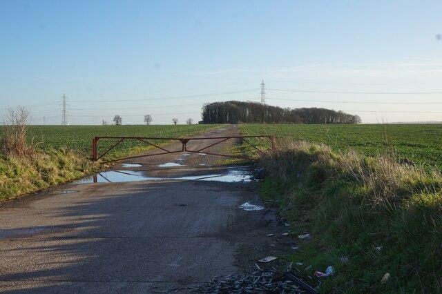
Bar Plantation offers a range of walking trails and paths, making it an ideal destination for hikers and walkers. Visitors can explore the forest at their own pace, immersing themselves in the peaceful surroundings and enjoying the fresh air. The forest's well-maintained trails are suitable for all skill levels, providing options for both leisurely strolls and more challenging hikes.

The plantation is also home to a diverse array of wildlife. Birdwatchers will delight in the opportunity to spot a variety of species, including woodpeckers, owls, and jays. Deer, rabbits, and squirrels are frequently seen in the woodland, adding to the charm and enchantment of the area.

Overall, Bar Plantation in Yorkshire is a delightful woodland retreat, offering visitors a chance to reconnect with nature and unwind in a serene environment. Whether it's a leisurely walk or a wildlife-spotting adventure, this forest provides a welcome escape from the hustle and bustle of everyday life.

If you have any feedback on the listing, please let us know in the comments section below.

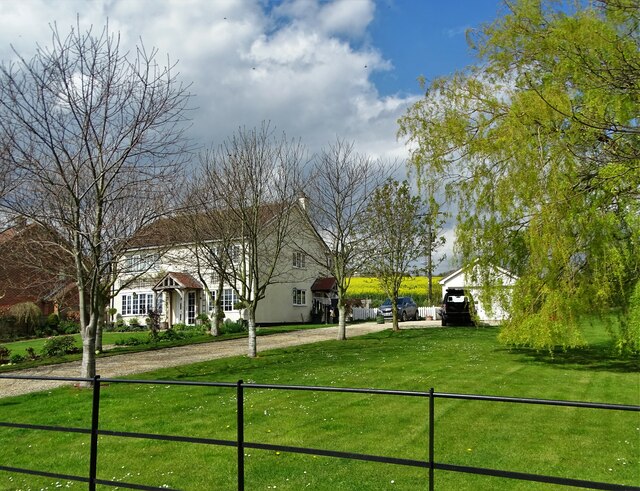
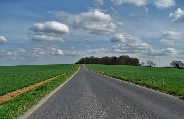
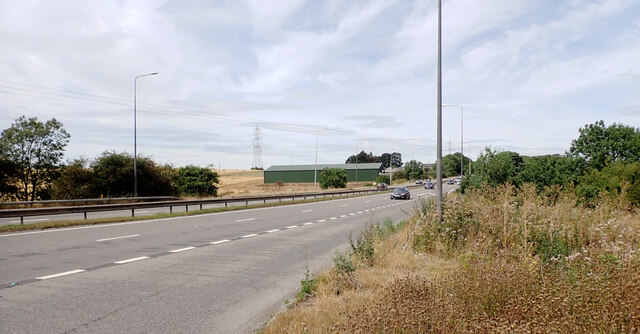
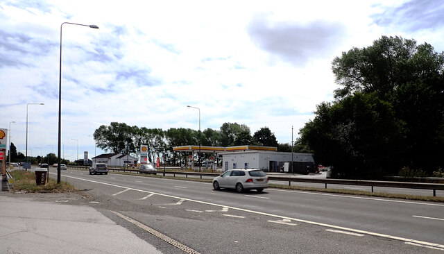
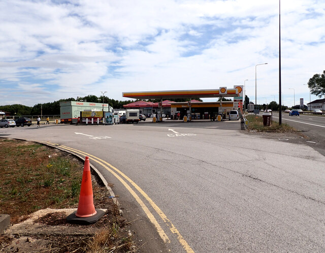
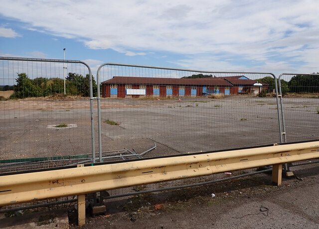
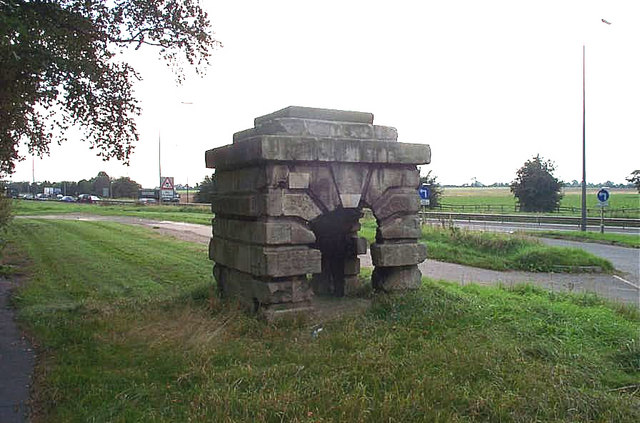
Bar Plantation Images

Images are sourced within 2km of 53.618229/-1.2326966 or Grid Reference SE5013. Thanks to Geograph Open Source API. All images are credited.

Old milestone A view of the West Riding CC milestone on the brow of a hill on the A639 a mile northwest of the A1 at Barnsdale Bar.   This face reads - BOROUGHBRIDGE/35 MILES/WETHERBY/22¼ MILES/LEEDS/18½ MILES/ABERFORD/15½ MILES/PONTEFRACT/5¼ MILES.   Some of the legend on this face is below soil level.   Left face -DONCASTER/9 MILES.   
Top -BARNSDALE & LEEDS/ROAD/KIRK SMEATON.   Kirk Smeaton is to the east of the A1.  The foundry name Brayshaw and Booth, Liversedge is on the bevel.
Old milestone
A view of the West Riding CC milestone on the brow of a hill on the A639 a mile northwest of the A1 at Barnsdale Bar. This face reads - BOROUGHBRIDGE/35 MILES/WETHERBY/22¼ MILES/LEEDS/18½ MILES/ABERFORD/15½ MILES/PONTEFRACT/5¼ MILES. Some of the legend on this face is below soil level. Left face -DONCASTER/9 MILES. Top -BARNSDALE & LEEDS/ROAD/KIRK SMEATON. Kirk Smeaton is to the east of the A1. The foundry name Brayshaw and Booth, Liversedge is on the bevel.
A1 Jam The view in North Yorkshire of the five mile jam towards the M62 junction.
A1 Jam
The view in North Yorkshire of the five mile jam towards the M62 junction.
Barnsdale Trig Point Flush Bracket S1570
Warren House Farm on Woodfield Road
Woodfield Road towards the A1 at Barnsdale Bar
Farm track leading to Summer House Farm
Lay-by by Doncaster Road at Barnsdale Bar
A view of Warren House Farm
Field north west of White Ley Road The crop appears to be barley.
Field north west of White Ley Road
The crop appears to be barley.
Farmland west of Barnsdale Wood Complete with old tyres
Farmland west of Barnsdale Wood
Complete with old tyres
Farmland north of Woodfield Road Looking towards Barnsdale Wood
Farmland north of Woodfield Road
Looking towards Barnsdale Wood
Track through rapeseed to Summer House Farm
Primrose Cottage on New Close Lane
On White Ley Road, heading to  Barnsdale Wood
On White Ley Road, heading to Barnsdale Wood
The A1 at Barnsdale Bar Services The A1 is the longest numbered road in the UK at 410 miles long. It connects London with Edinburgh, via the east of England. 
For much of its path it follows the Great North Road the old coaching route between London and Edinburgh. Several sections of the route are classified as motorway A1(M). The modern A1 bypasses the towns the Great North Road passed through and is dual carriageway for most of its route through England.
The A1 at Barnsdale Bar Services
The A1 is the longest numbered road in the UK at 410 miles long. It connects London with Edinburgh, via the east of England. For much of its path it follows the Great North Road the old coaching route between London and Edinburgh. Several sections of the route are classified as motorway A1(M). The modern A1 bypasses the towns the Great North Road passed through and is dual carriageway for most of its route through England.
Barnsdale Bar Services on the A1 The A1 is the longest numbered road in the UK at 410 miles long. It connects London with Edinburgh, via the east of England. 
For much of its path it follows the Great North Road the old coaching route between London and Edinburgh. Several sections of the route are classified as motorway A1(M). The modern A1 bypasses the towns the Great North Road passed through and is dual carriageway for most of its route through England.
Barnsdale Bar Services on the A1
The A1 is the longest numbered road in the UK at 410 miles long. It connects London with Edinburgh, via the east of England. For much of its path it follows the Great North Road the old coaching route between London and Edinburgh. Several sections of the route are classified as motorway A1(M). The modern A1 bypasses the towns the Great North Road passed through and is dual carriageway for most of its route through England.
Derelict building at Barnsdale Bar Services on the A1
Show me another place!

Bar Plantation is located at Grid Ref: SE5013 (Lat: 53.618229, Lng: -1.2326966)

Division: West Riding

Unitary Authority: Wakefield

Police Authority: West Yorkshire

What 3 Words

///kindness.predict.firming. Near North Elmsall, West Yorkshire

Related Wikis

Barnsdale

Barnsdale, or Barnsdale Forest, is an area of South and West Yorkshire, England. The area falls within the modern-day districts of Doncaster and Wakefield...

Wrangbrook Junction

Wrangbrook Junction near Upton in West Yorkshire was a location where two lines branched off the Hull and Barnsley Railway main line from Hull Cannon Street...

Skelbrooke

Skelbrooke is a village and former civil parish, now in the parish of Hampole, in the Doncaster district, in the county of South Yorkshire, England. In...
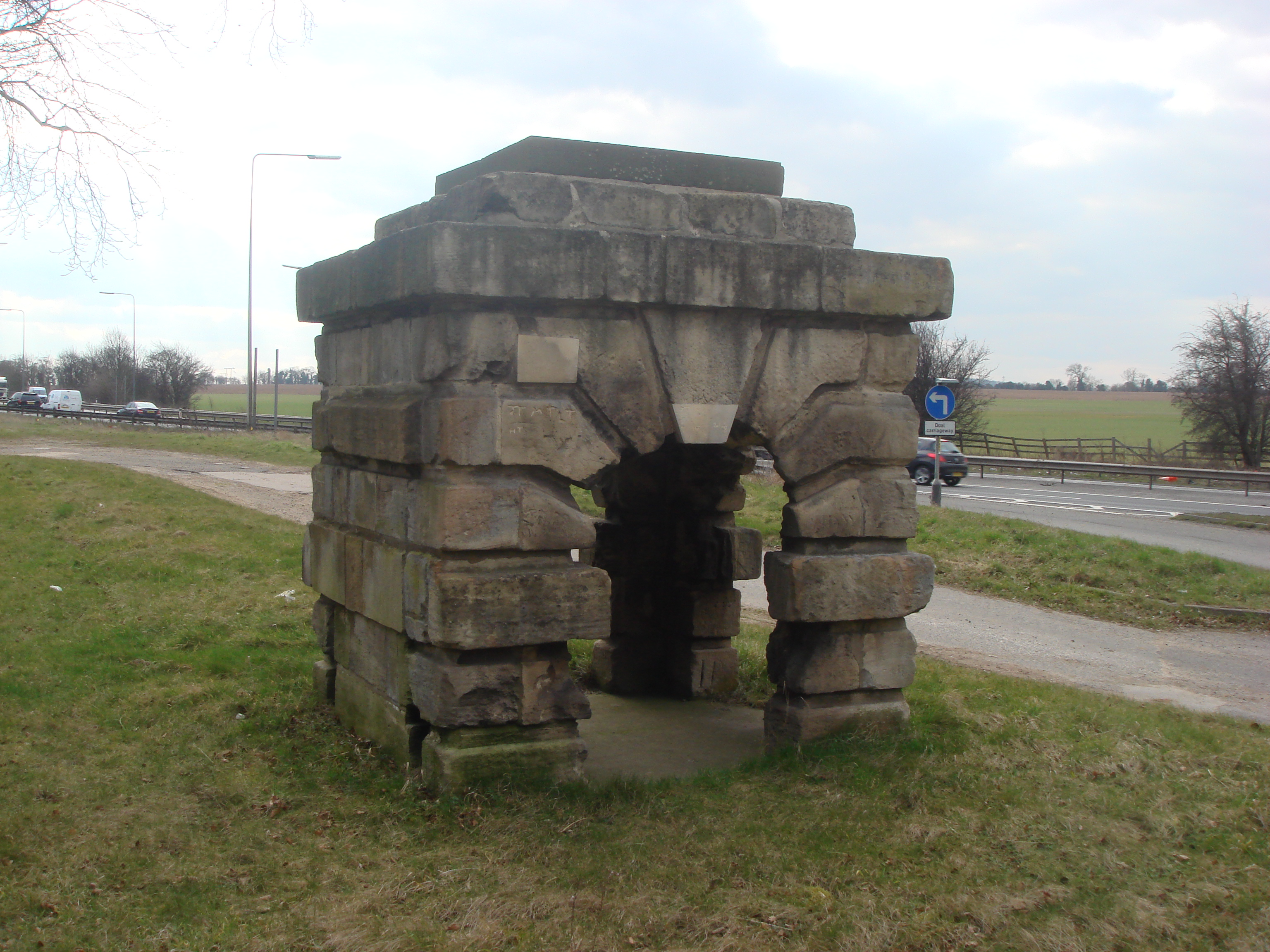
Robin Hood's Well

Robin Hood's Well is a historic structure beside the A1 road near Burghwallis, South Yorkshire, England. It was originally built in 1710 as a well house...

Upton Colliery

Upton Colliery was a coal mine near to the village of Upton in the West Riding of Yorkshire, England. The site was 8.5 miles (13.7 km) north west of Doncaster...

Kirk Smeaton

Kirk Smeaton is a village and civil parish in North Yorkshire, England. It is located at the southern end of the county, close to South Yorkshire and East...

Little John's Well

Little John's Well is a water well situated near to the A638 at Hampole, in the Metropolitan Borough of Doncaster, in what was known as Barnsdale Forest...

Campsmount Academy

Campsmount Academy is a coeducational secondary school and sixth form located in Norton, South Yorkshire, England. Originally known as Campsmount School...

Nearby Amenities

Located within 500m of 53.618229,-1.2326966
Motorway Junction
Barnsdale Bar
Name Signed: yes
Ref: 39
Lat/Long: 53.617017/-1.2299567
Motorway Junction
Barnsdale Bar
Name Signed: yes
Ref: 39
Lat/Long: 53.6173018/-1.2299606
Created By: Merkaartor 0.12
Lat/Long: 53.6201894/-1.2366485
Bus Stop
Great North Road/Barnsdale Bar
Alt Name: Great North Road/Barnsdale Bar
Naptan AltCommonName: Great North Road/Barnsdale Bar
Naptan AtcoCode: 370040633
Naptan Bearing: NW
Naptan CommonName: Great North Road/Barnsdale Bar
Naptan Indicator: 40633
Naptan Landmark: A1 NORTHBOUND
Naptan Street: Great North Road
Naptan Verified: no
Source: naptan_import
Lat/Long: 53.6165889/-1.2298097
Bus Stop
Great North Road/Barnsdale Bar
Alt Name: Great North Road/Barnsdale Bar
Naptan AltCommonName: Great North Road/Barnsdale Bar
Naptan AtcoCode: 370040634
Naptan Bearing: SE
Naptan CommonName: Great North Road/Barnsdale Bar
Naptan Indicator: 40634
Naptan Landmark: A1 SOUTHBOUND
Naptan PlusbusZoneRef: ROTHCEN
Naptan Street: Great North Road
Naptan Verified: no
Source: naptan_import
Lat/Long: 53.6166556/-1.2289922
The data included in this document is from www.openstreetmap.org. The data is made available under ODbL.

Have you been to Bar Plantation?

Leave your review of Bar Plantation below (or comments, questions and feedback).