New Copse
Wood, Forest in Berkshire
England
New Copse

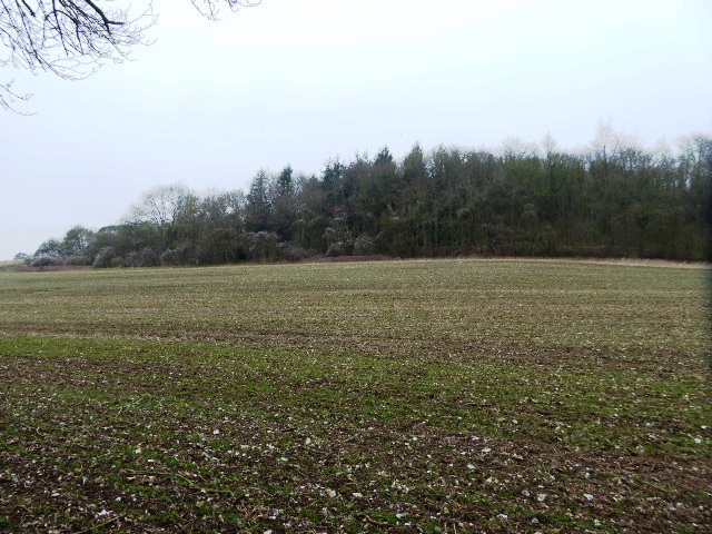
New Copse is a picturesque woodland located in the county of Berkshire, England. Covering an area of approximately 100 acres, it is a popular destination for nature enthusiasts and outdoor lovers alike.
The forest is characterized by its dense canopy of tall, mature trees, predominantly consisting of oak, beech, and silver birch. These majestic trees provide a haven for a diverse range of flora and fauna, creating a thriving ecosystem within the woodland.
Traversing through the forest, visitors will find a network of well-maintained trails and footpaths, allowing them to explore the area at their own pace. The paths wind through the enchanting woodland, providing a serene and peaceful atmosphere for walkers and hikers.
New Copse is home to a rich variety of wildlife, making it a haven for nature lovers. Visitors may encounter native species such as deer, foxes, badgers, and a wide array of birdlife. The woodland is also known for its vibrant wildflower displays during the spring and summer months, adding a burst of color to the already picturesque landscape.
Throughout the year, New Copse hosts various events and activities, including guided nature walks, bird-watching sessions, and educational programs. These initiatives aim to raise awareness about the importance of preserving the natural beauty and biodiversity of the woodland.
Overall, New Copse in Berkshire offers a tranquil escape from the hustle and bustle of everyday life. With its stunning scenery, abundant wildlife, and well-preserved trails, it is a haven for those seeking a connection with nature.
If you have any feedback on the listing, please let us know in the comments section below.
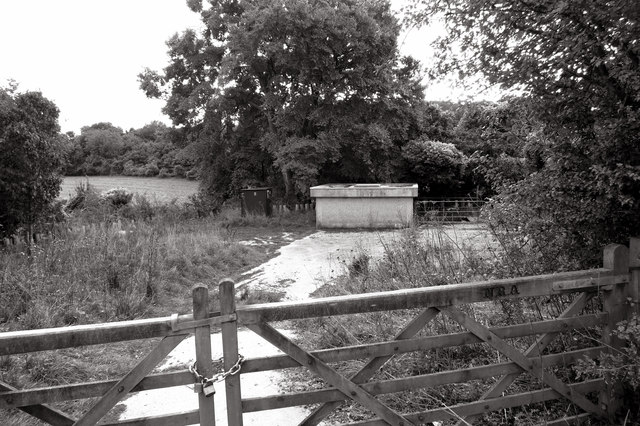
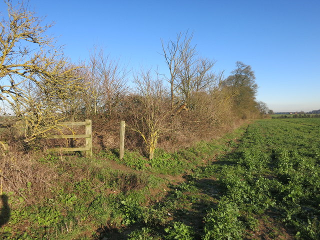
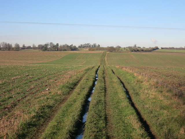
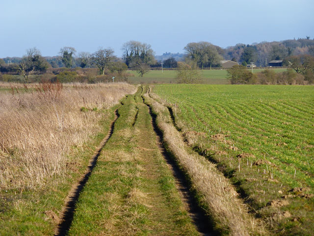
New Copse Images
Images are sourced within 2km of 51.487494/-1.2690635 or Grid Reference SU5076. Thanks to Geograph Open Source API. All images are credited.


New Copse is located at Grid Ref: SU5076 (Lat: 51.487494, Lng: -1.2690635)
Unitary Authority: West Berkshire
Police Authority: Thames Valley
What 3 Words
///bogus.shack.breath. Near Compton, Berkshire
Nearby Locations
Related Wikis

Bothampstead
Bothampstead is a hamlet in the English county of Berkshire, and within the civil parish of Hampstead Norreys. It consists of several houses and a farm...

Perborough Castle
Perborough Castle is the site of an Iron Age univallate hillfort located at Compton in Berkshire. The site covers approximately 14 acres (5.7 ha), and...
Ashridge Wood
Ashridge Wood is a 15.9-hectare (39-acre) biological Site of Special Scientific Interest south-west of Compton in Berkshire. It is in the North Wessex...

Hampstead Norris railway station
Hampstead Norris railway station was a station on the Didcot, Newbury and Southampton Railway in England. It served the village of Hampstead Norreys in...

Hampstead Norreys
Hampstead Norreys (alternatively spelt Hampstead Norris as it is pronounced) is a village and civil parish in Berkshire, England. It is centred on the...

Hampstead Norreys Castle
Hampstead Norreys Castle was a Norman castle in the village of Hampstead Norreys, Berkshire, England. == History == Hampstead Norreys Castle is a Norman...

World's End, Berkshire
World's End is a hamlet in Berkshire, England. It is in the district of West Berkshire, near the A34 north of Newbury. To the north is the village of Beedon...

Eling, Berkshire
Eling is a hamlet in the civil parish of Hampstead Norreys in the English county of Berkshire. The settlement lies next to the M4 motorway, and is located...
Nearby Amenities
Located within 500m of 51.487494,-1.2690635Have you been to New Copse?
Leave your review of New Copse below (or comments, questions and feedback).