Moat Spinney
Wood, Forest in Oxfordshire Cherwell
England
Moat Spinney
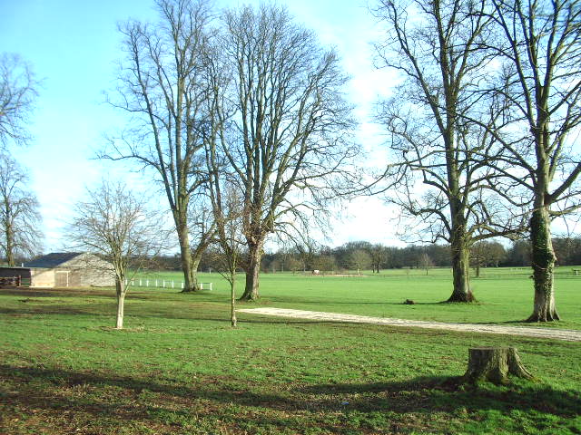
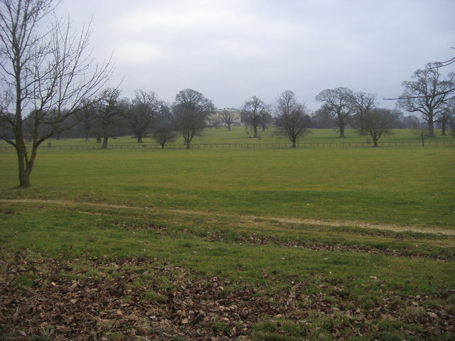
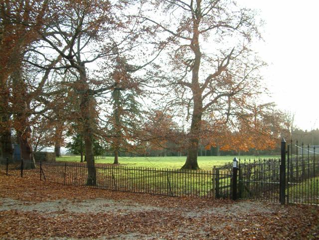
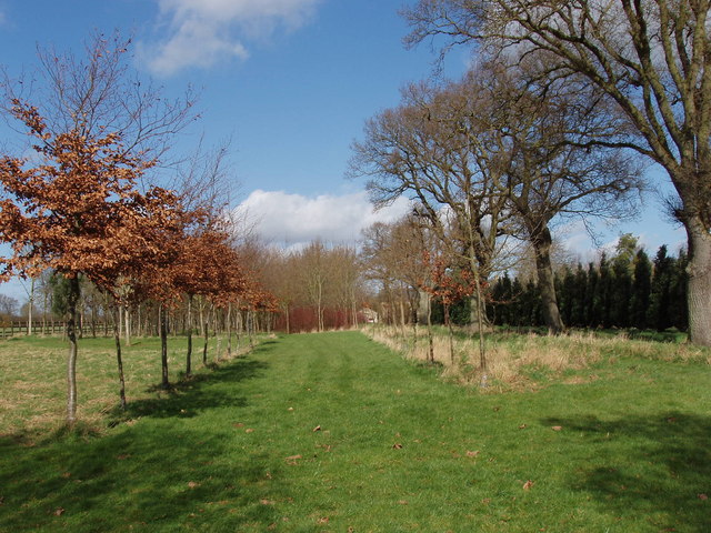
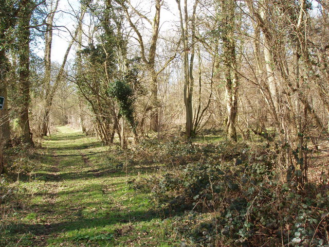
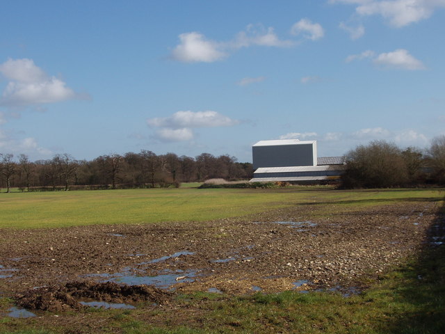
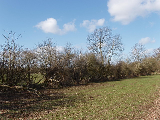
Moat Spinney is a picturesque woodland located in Oxfordshire, England. Situated within the larger area of Wood, Forest, it covers an approximate area of 50 acres. The woodland is characterized by its dense collection of mature trees, creating a serene and tranquil atmosphere for visitors.
As the name suggests, Moat Spinney is named after the presence of a small moat that runs through the woods. This unique feature adds to the charm and historical significance of the site. It is believed that the moat was constructed in medieval times to provide a defensive barrier for the nearby settlement.
The woodland is home to a diverse range of flora and fauna. The canopy is dominated by oak, beech, and ash trees, which provide a habitat for various bird species, including woodpeckers and owls. The forest floor is carpeted with a rich array of wildflowers, including bluebells and primroses, which bloom in the spring.
Moat Spinney offers a variety of recreational activities for visitors to enjoy. There are several footpaths and trails that wind through the woods, providing opportunities for leisurely walks and hikes. The tranquil surroundings make it an ideal location for nature enthusiasts, birdwatchers, and photographers.
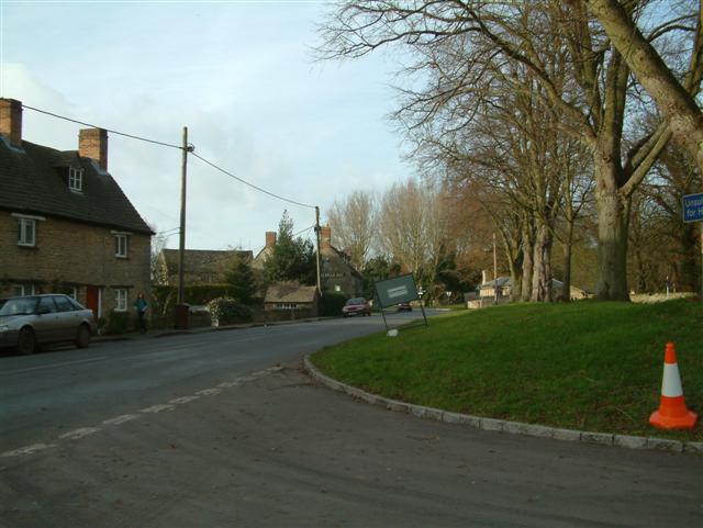
The woodland is managed and maintained by the local council, ensuring that it remains a protected and well-preserved natural habitat. It is easily accessible by car, with ample parking facilities available nearby. Whether seeking a peaceful retreat or an opportunity to connect with nature, Moat Spinney offers a delightful experience for visitors of all ages.
If you have any feedback on the listing, please let us know in the comments section below.
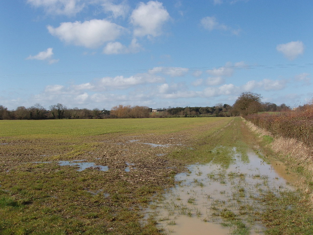
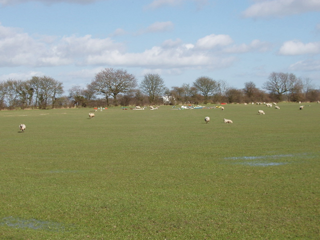
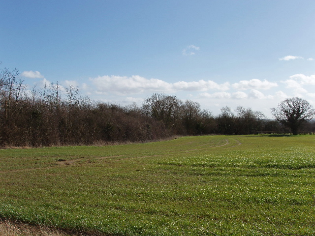
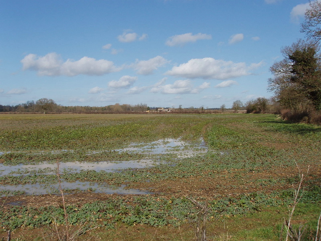
Moat Spinney Images
Images are sourced within 2km of 51.862458/-1.2643114 or Grid Reference SP5018. Thanks to Geograph Open Source API. All images are credited.


Moat Spinney is located at Grid Ref: SP5018 (Lat: 51.862458, Lng: -1.2643114)
Administrative County: Oxfordshire
District: Cherwell
Police Authority: Thames Valley
What 3 Words
///feels.enclosing.plot. Near Kidlington, Oxfordshire
Related Wikis

Bletchingdon Park
Bletchington Park is a Grade II* listed Palladian country house in Bletchingdon, Oxfordshire. == History == Bletchington's medieval manor house was rebuilt...

Bletchingdon
Bletchingdon (also known as Bletchington) is a village and civil parish 2 miles (3 km) north of Kidlington and 6 miles (10 km) southwest of Bicester in...
Kirtlington
Kirtlington is a village and civil parish in Oxfordshire about 6+1⁄2 miles (10.5 km) west of Bicester. The parish includes the hamlet of Northbrook. The...

Kirtlington Quarry
Kirtlington Quarry is a 3.1-hectare (7.7-acre) geological Site of Special Scientific Interest west of Kirtlington in Oxfordshire. It is a Geological Conservation...

Weston Fen, Oxfordshire
Weston Fen is a 14-hectare (35-acre) biological Site of Special Scientific Interest north of Weston-on-the-Green in Oxfordshire.This site has diverse habitats...
Bletchington railway station
Bletchington railway station is a disused station in Oxfordshire at Enslow, England, a hamlet 1.25 miles (2 km) west of the village of Bletchingdon. The...

Ploughley Rural District
Ploughley was a rural district in Oxfordshire, England, from 1932 to 1974. It entirely surrounded Bicester but did not include it. It was created in 1932...

The Manor Country House Hotel, Weston-on-the-Green
The Manor Country House Hotel in Weston-on-the-Green is a building of historical significance and is Grade II* listed on the English Heritage Register...
Nearby Amenities
Located within 500m of 51.862458,-1.2643114Have you been to Moat Spinney?
Leave your review of Moat Spinney below (or comments, questions and feedback).