Crutchmoor Plantation
Wood, Forest in Oxfordshire Cherwell
England
Crutchmoor Plantation
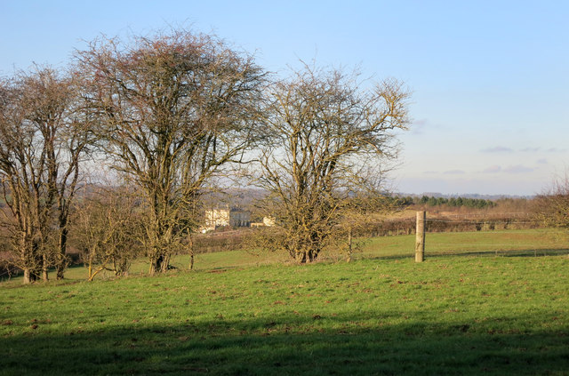
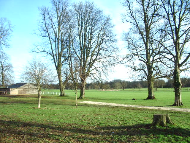
Crutchmoor Plantation, located in Oxfordshire, England, is a picturesque woodland situated within a larger forested area. Spanning over several acres, this plantation is known for its dense and diverse collection of trees and wildlife, making it a popular destination for nature enthusiasts and hikers alike.
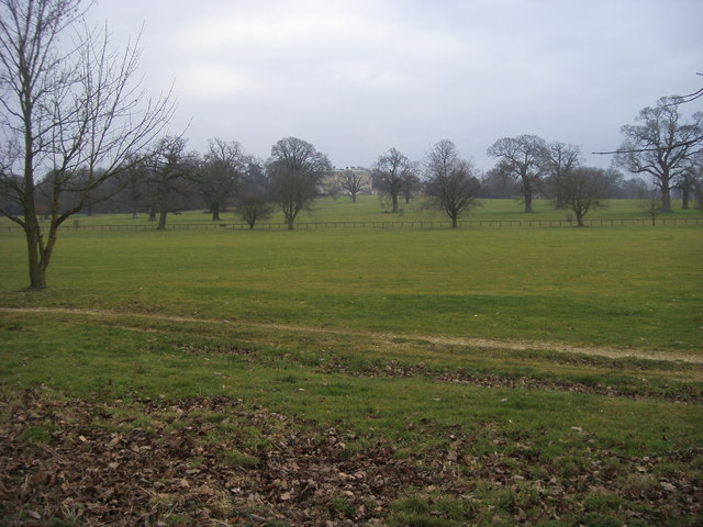
The woodland is primarily composed of a variety of deciduous and coniferous trees, including oak, beech, birch, and pine, creating a vibrant and ever-changing landscape throughout the year. The tall canopy formed by these trees provides shelter and habitat for a wide range of flora and fauna, from delicate wildflowers to various species of birds, mammals, and insects.
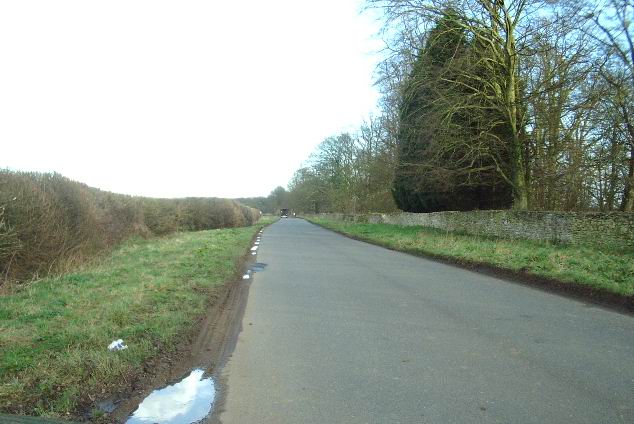
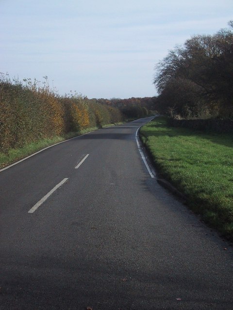
Crutchmoor Plantation offers visitors an opportunity to explore its well-maintained trails, which wind through the forest, allowing for a peaceful and immersive experience in nature. The paths are carefully marked, ensuring easy navigation and accessibility for all visitors, including those with mobility challenges.
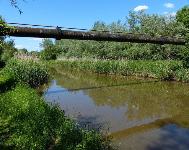
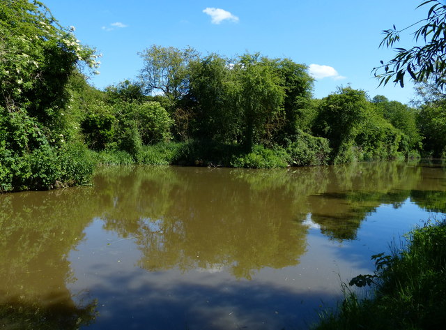
The plantation also boasts a small lake, nestled amidst the trees, adding to the overall charm and tranquility of the area. This water body serves as a habitat for aquatic plants and creatures, further enhancing the biodiversity found within Crutchmoor.
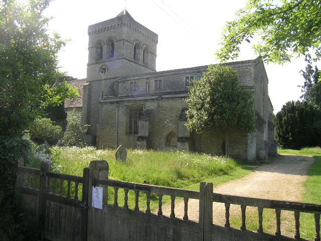
In addition to its natural beauty, Crutchmoor Plantation has historical significance, with remnants of old farm buildings and walls dating back to the 19th century still visible in certain areas. These remnants provide a glimpse into the past and add a touch of heritage to the woodland.
Overall, Crutchmoor Plantation in Oxfordshire is a captivating forested area, offering a delightful blend of natural wonders, recreational opportunities, and a touch of history for visitors to enjoy and explore.
If you have any feedback on the listing, please let us know in the comments section below.
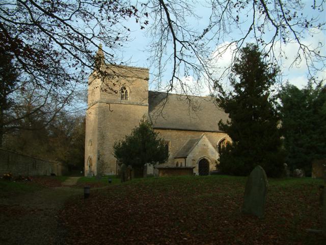
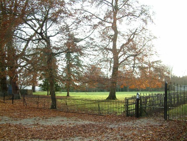
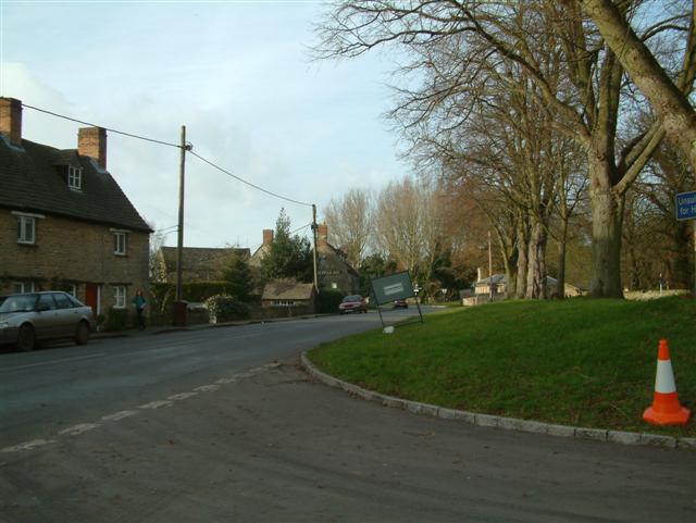
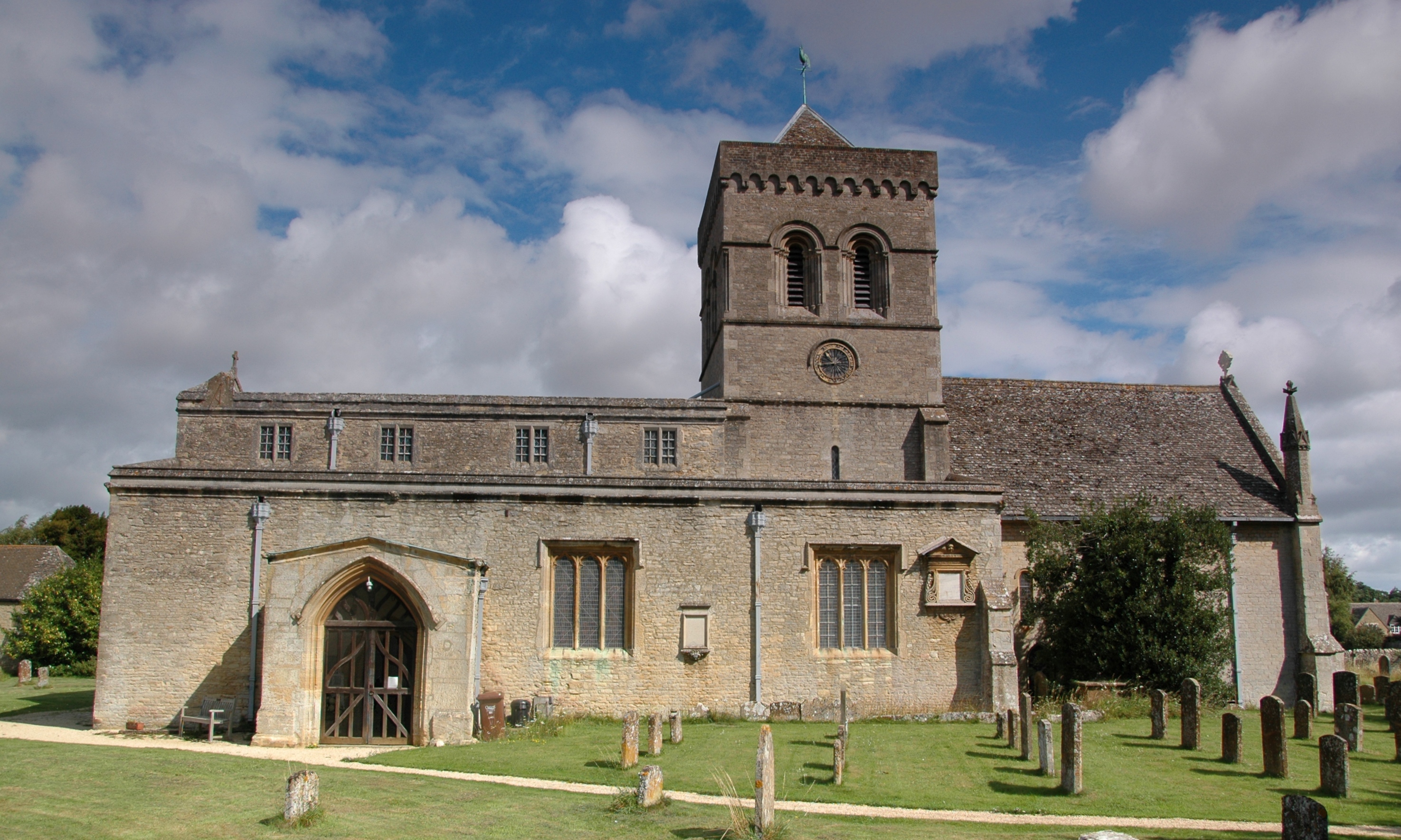
Crutchmoor Plantation Images
Images are sourced within 2km of 51.866653/-1.2738719 or Grid Reference SP5018. Thanks to Geograph Open Source API. All images are credited.


Crutchmoor Plantation is located at Grid Ref: SP5018 (Lat: 51.866653, Lng: -1.2738719)
Administrative County: Oxfordshire
District: Cherwell
Police Authority: Thames Valley
What 3 Words
///shipwreck.interest.december. Near Kidlington, Oxfordshire
Related Wikis
Kirtlington
Kirtlington is a village and civil parish in Oxfordshire about 6+1⁄2 miles (10.5 km) west of Bicester. The parish includes the hamlet of Northbrook. The...

Bletchingdon Park
Bletchington Park is a Grade II* listed Palladian country house in Bletchingdon, Oxfordshire. == History == Bletchington's medieval manor house was rebuilt...

Kirtlington Quarry
Kirtlington Quarry is a 3.1-hectare (7.7-acre) geological Site of Special Scientific Interest west of Kirtlington in Oxfordshire. It is a Geological Conservation...

Bletchingdon
Bletchingdon (also known as Bletchington) is a village and civil parish 2 miles (3 km) north of Kidlington and 6 miles (10 km) southwest of Bicester in...
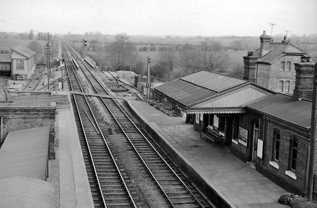
Bletchington railway station
Bletchington railway station is a disused station in Oxfordshire at Enslow, England, a hamlet 1.25 miles (2 km) west of the village of Bletchingdon. The...
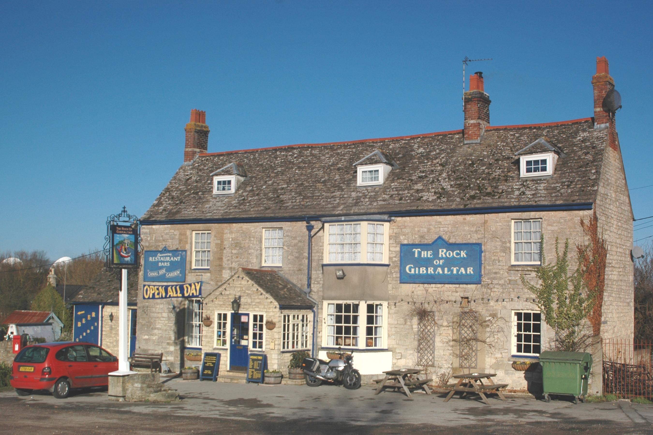
Enslow
Enslow is a hamlet on the banks of both the River Cherwell and the Oxford Canal in Bletchingdon civil parish, Oxfordshire. The medieval main road linking...

Tackley railway station
Tackley railway station is on the Cherwell Valley Line in Oxfordshire, England, serving the village of Tackley and its surrounding area. Great Western...

Weston Fen, Oxfordshire
Weston Fen is a 14-hectare (35-acre) biological Site of Special Scientific Interest north of Weston-on-the-Green in Oxfordshire.This site has diverse habitats...
Nearby Amenities
Located within 500m of 51.866653,-1.2738719Have you been to Crutchmoor Plantation?
Leave your review of Crutchmoor Plantation below (or comments, questions and feedback).