Gossway Copse
Wood, Forest in Oxfordshire Cherwell
England
Gossway Copse
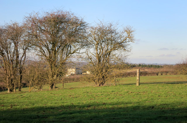
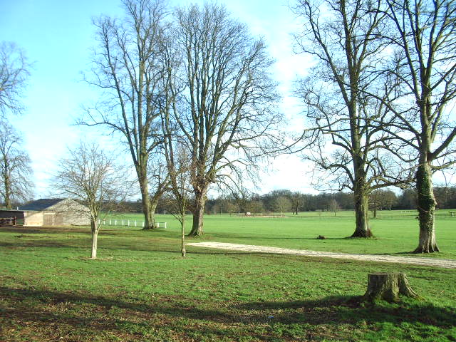
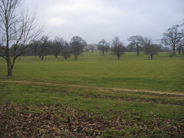
Gossway Copse is a picturesque woodland located in Oxfordshire, England. Spanning approximately 10 hectares, this enchanting copse is a haven for nature enthusiasts and those seeking tranquility in a natural setting.
The copse is characterized by a diverse range of tree species, including oak, beech, ash, and birch. These towering trees create a dense canopy, allowing only dappled sunlight to filter through to the forest floor. This creates a unique and magical atmosphere, especially during the spring and summer months when the copse is alive with the melodious sounds of birdsong.
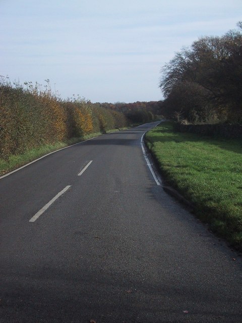
Numerous walking trails wind their way through Gossway Copse, providing visitors with the opportunity to explore the natural beauty of the woodland. The trails are well-maintained and suitable for all ages and fitness levels, making it an ideal destination for families and nature lovers alike.
Wildlife thrives within the copse, with a plethora of species calling it their home. Visitors may be lucky enough to spot red squirrels, badgers, and a variety of woodland birds, including woodpeckers and jays. The copse also boasts a diverse range of flora, with carpets of bluebells and wild garlic blanketing the forest floor in spring.
Gossway Copse is a cherished natural gem in Oxfordshire, attracting visitors year-round who seek solace in its tranquil surroundings and appreciate the beauty of the natural world. With its breathtaking scenery, diverse wildlife, and well-maintained trails, it is a must-visit destination for anyone looking to escape the hustle and bustle of daily life and immerse themselves in the wonders of nature.
If you have any feedback on the listing, please let us know in the comments section below.
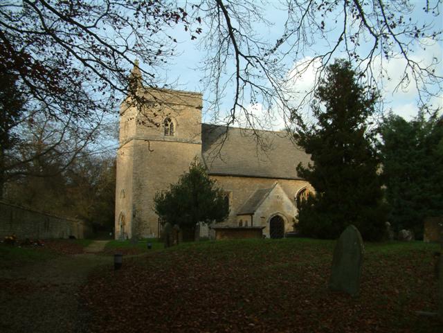
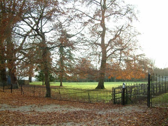
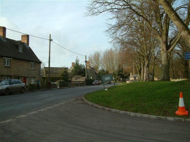
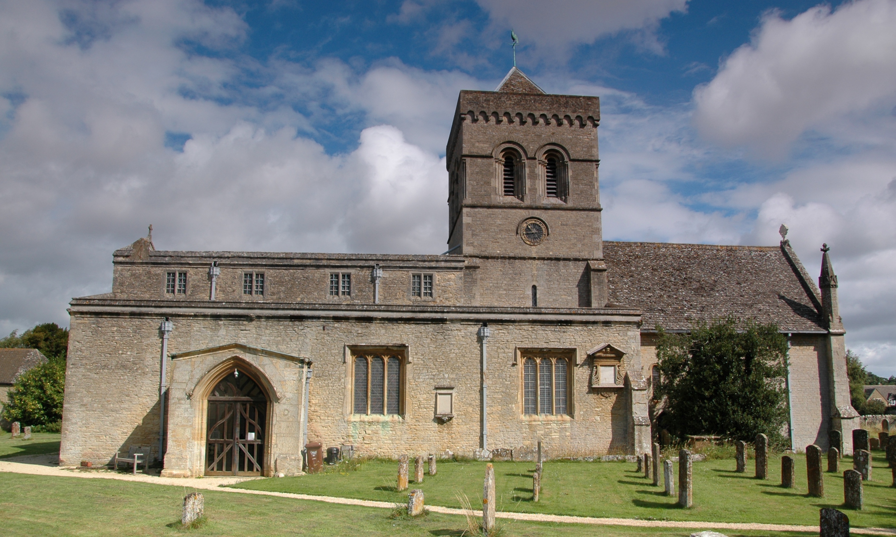
Gossway Copse Images
Images are sourced within 2km of 51.866958/-1.2751886 or Grid Reference SP5018. Thanks to Geograph Open Source API. All images are credited.


Gossway Copse is located at Grid Ref: SP5018 (Lat: 51.866958, Lng: -1.2751886)
Administrative County: Oxfordshire
District: Cherwell
Police Authority: Thames Valley
What 3 Words
///tram.funny.shoebox. Near Kidlington, Oxfordshire
Related Wikis
Kirtlington
Kirtlington is a village and civil parish in Oxfordshire about 6+1⁄2 miles (10.5 km) west of Bicester. The parish includes the hamlet of Northbrook. The...

Bletchingdon Park
Bletchington Park is a Grade II* listed Palladian country house in Bletchingdon, Oxfordshire. == History == Bletchington's medieval manor house was rebuilt...

Kirtlington Quarry
Kirtlington Quarry is a 3.1-hectare (7.7-acre) geological Site of Special Scientific Interest west of Kirtlington in Oxfordshire. It is a Geological Conservation...

Bletchingdon
Bletchingdon (also known as Bletchington) is a village and civil parish 2 miles (3 km) north of Kidlington and 6 miles (10 km) southwest of Bicester in...
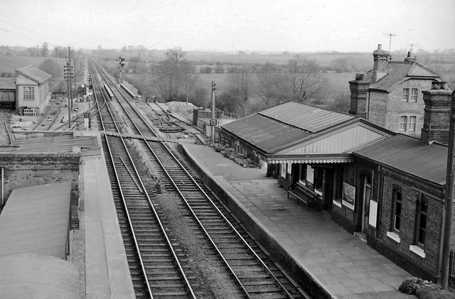
Bletchington railway station
Bletchington railway station is a disused station in Oxfordshire at Enslow, England, a hamlet 1.25 miles (2 km) west of the village of Bletchingdon. The...
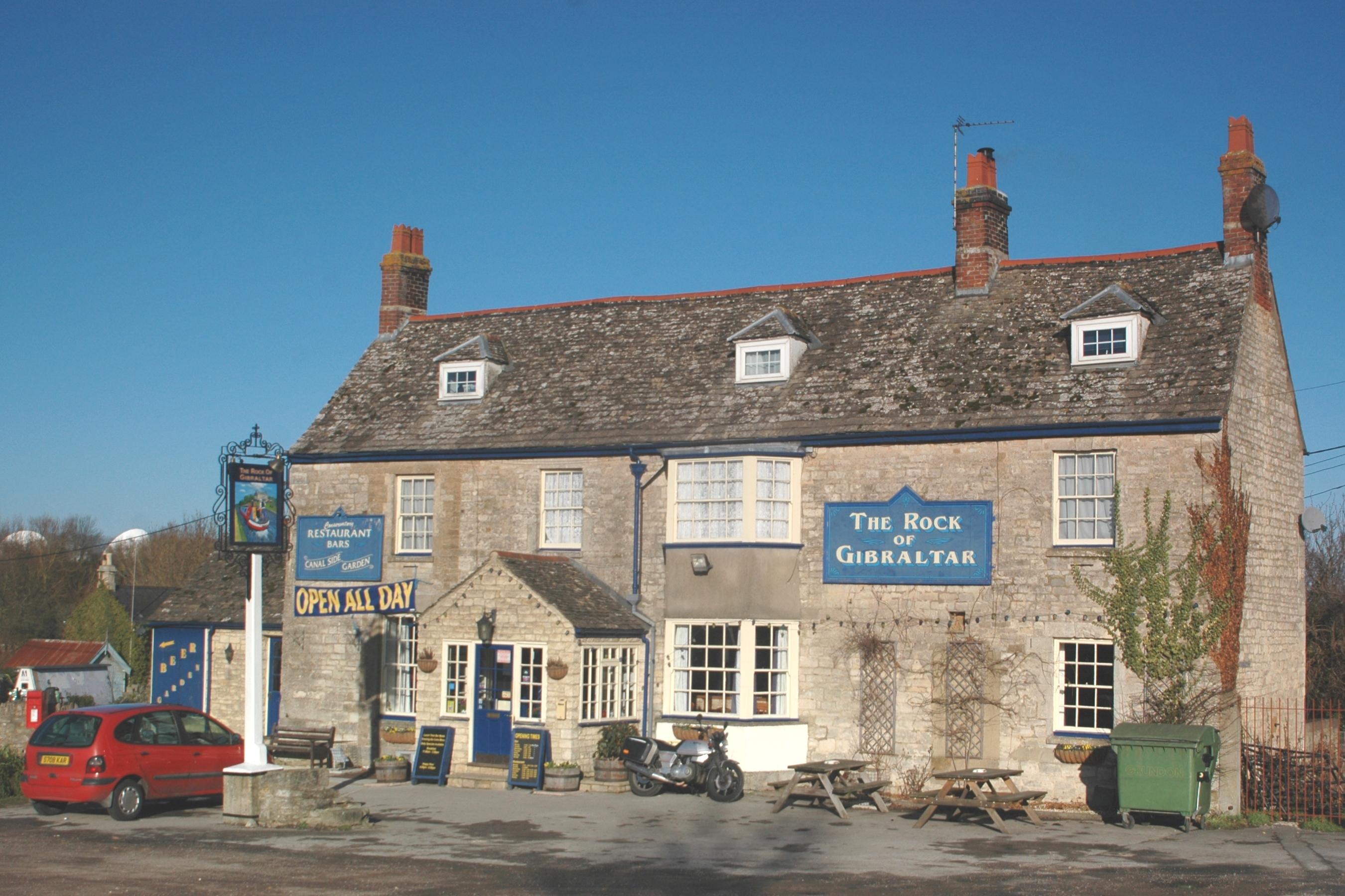
Enslow
Enslow is a hamlet on the banks of both the River Cherwell and the Oxford Canal in Bletchingdon civil parish, Oxfordshire. The medieval main road linking...

Tackley railway station
Tackley railway station is on the Cherwell Valley Line in Oxfordshire, England, serving the village of Tackley and its surrounding area. Great Western...

Weston Fen, Oxfordshire
Weston Fen is a 14-hectare (35-acre) biological Site of Special Scientific Interest north of Weston-on-the-Green in Oxfordshire.This site has diverse habitats...
Nearby Amenities
Located within 500m of 51.866958,-1.2751886Have you been to Gossway Copse?
Leave your review of Gossway Copse below (or comments, questions and feedback).