Draycott

Settlement in Gloucestershire Cotswold

England

Draycott

Former Aston Magna church No longer a church, now converted into a private residence, the hedge is so high the tower is barely visible.
Former Aston Magna church Credit: Philip Halling

Draycott is a small village located in the county of Gloucestershire, England. Situated in the beautiful Cotswolds region, it is nestled within rolling hills and picturesque countryside. The village is positioned approximately 10 miles south of the historic town of Cheltenham and 3 miles east of the charming village of Winchcombe.

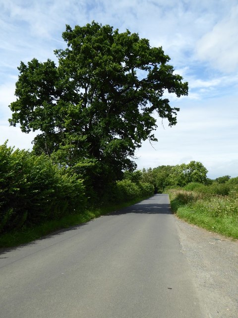
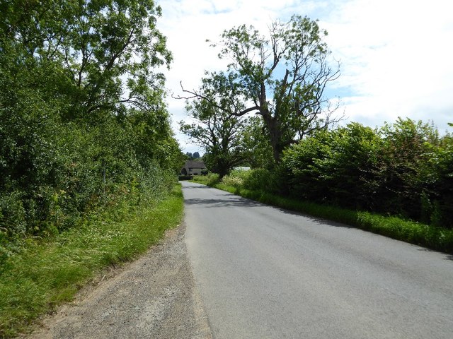
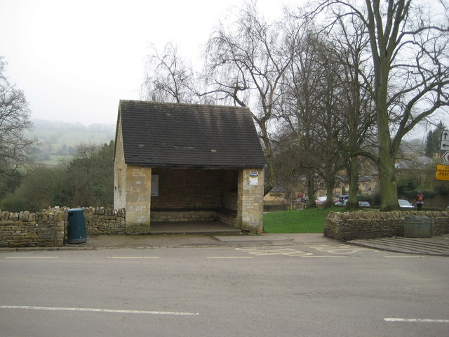
Draycott is a quintessential English village, known for its traditional stone cottages and idyllic rural charm. The population is relatively small, with around 300 inhabitants. The village is primarily residential, offering a peaceful and tranquil environment for its residents.

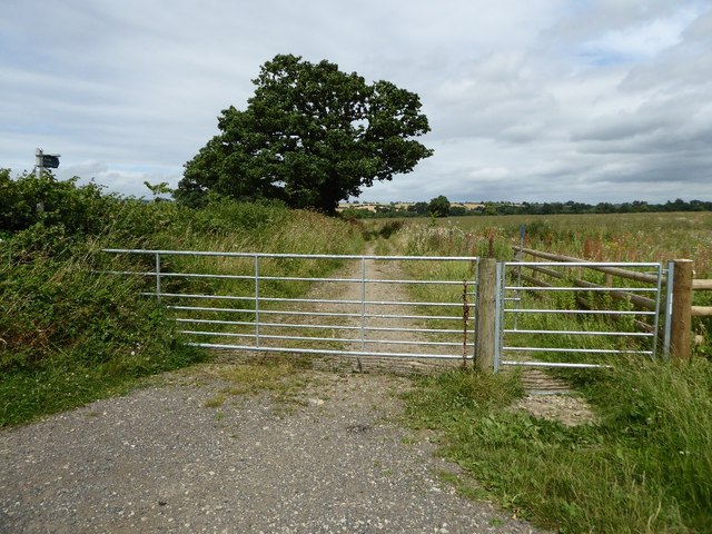
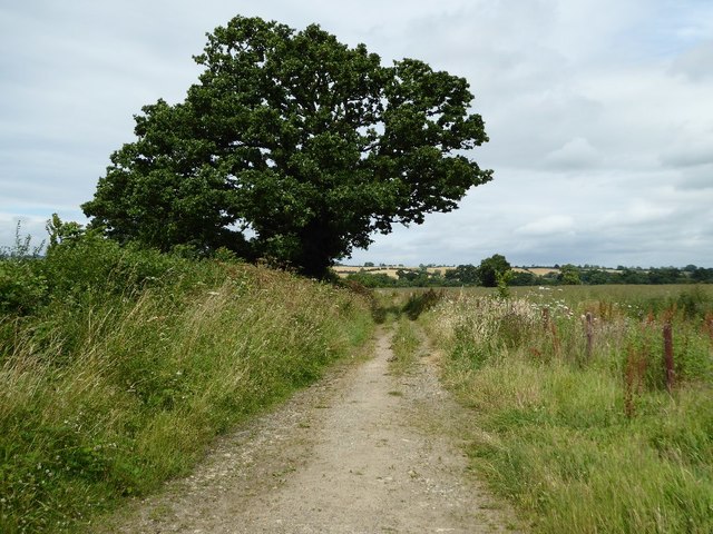
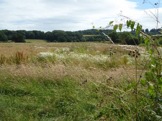
The village is surrounded by stunning natural landscapes, making it an ideal location for outdoor enthusiasts. There are numerous walking and cycling trails in the area, allowing visitors to explore the Cotswolds' beauty firsthand. The nearby Cotswold Way, a long-distance footpath, passes close to Draycott, attracting walkers from all over.

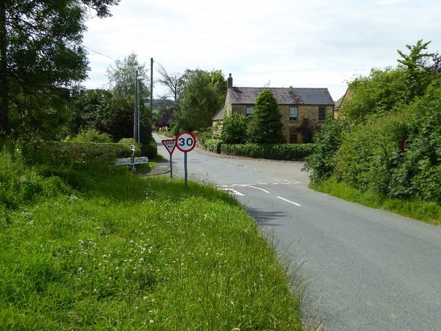
While Draycott is a rural village, it benefits from its close proximity to larger towns and cities. Cheltenham and Winchcombe offer a range of amenities, including shops, restaurants, and cultural attractions. Draycott itself has limited facilities, with a small village hall serving as the community hub.

Overall, Draycott is a charming and peaceful village, offering a slice of traditional English country life. With its stunning surroundings and convenient location, it is an appealing destination for those seeking a slower pace of life and a closer connection to nature.

If you have any feedback on the listing, please let us know in the comments section below.
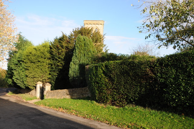
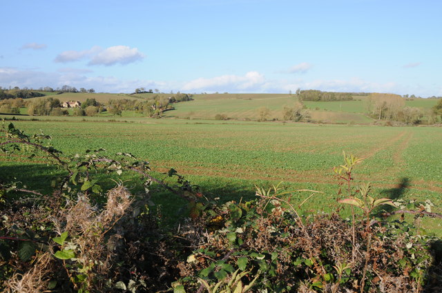
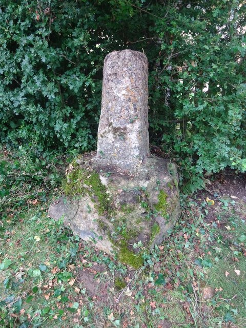
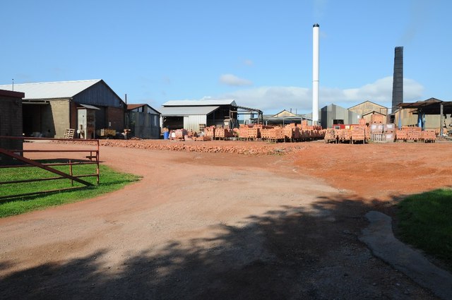
Draycott Images

Images are sourced within 2km of 52.020646/-1.736049 or Grid Reference SP1835. Thanks to Geograph Open Source API. All images are credited.

Former Aston Magna church No longer a church, now converted into a private residence, the hedge is so high the tower is barely visible.
Former Aston Magna church
No longer a church, now converted into a private residence, the hedge is so high the tower is barely visible.
View over the hedge This country road to the north of Aston Magna briefly enters this square hence the view to Neighbrook over the hedge.
View over the hedge
This country road to the north of Aston Magna briefly enters this square hence the view to Neighbrook over the hedge.
Wayside Cross, Aston Magna, Blockley 15ᵗʰ C shaft and base with shaped stops on octagonal plinth. 
These crosses were placed for pilgrims to stop and pray for a safe journey, probably en route to Oxford.

Grade II listed Nᴼ 1088642 <span class="nowrap"><a title="https://historicengland.org.uk/listing/the-list/list-entry/1088642" rel="nofollow ugc noopener" href="https://historicengland.org.uk/listing/the-list/list-entry/1088642">Link</a><img style="margin-left:2px;" alt="External link" title="External link - shift click to open in new window" src="https://s1.geograph.org.uk/img/external.png" width="10" height="10"/></span>

Milestone Society National ID: GLCO_BLO
Wayside Cross, Aston Magna, Blockley
15ᵗʰ C shaft and base with shaped stops on octagonal plinth. These crosses were placed for pilgrims to stop and pray for a safe journey, probably en route to Oxford. Grade II listed Nᴼ 1088642 LinkExternal link Milestone Society National ID: GLCO_BLO
Northcot Bricks Limited The Northcot Brick works are beside the Worcester to Oxford Railway and Station Road between Blockley and Paxford,
Northcot Bricks Limited
The Northcot Brick works are beside the Worcester to Oxford Railway and Station Road between Blockley and Paxford,
Chimneys at Northcot Brick Works, Chimneys at Northcot Brick Works viewed from Station Road between Blockley and Paxford.
Chimneys at Northcot Brick Works,
Chimneys at Northcot Brick Works viewed from Station Road between Blockley and Paxford.
Field near Grey stone Farm A bridleway follows the hedgerow to the right of this field near GreyStone Farm which can be seen by the hedge to the left.
Field near Grey stone Farm
A bridleway follows the hedgerow to the right of this field near GreyStone Farm which can be seen by the hedge to the left.
Headland track near Wellacres Farm Headland track near Wellacres Farm to the north of the village of Draycott.
Headland track near Wellacres Farm
Headland track near Wellacres Farm to the north of the village of Draycott.
Entrance to Northwick Business Centre Entrance to Northwick Business Centre near the village of Draycott.
Entrance to Northwick Business Centre
Entrance to Northwick Business Centre near the village of Draycott.
Gate and track Gateway and track to farmland near the village of Draycott.  This is also the route of a bridleway.
Gate and track
Gateway and track to farmland near the village of Draycott. This is also the route of a bridleway.
Farmland track Farmland track and bridleway near Draycott.
Farmland track
Farmland track and bridleway near Draycott.
Farmland at Draycott Difficult to identify the crop being grown here in this field on the edge of the village of Drayton.
Farmland at Draycott
Difficult to identify the crop being grown here in this field on the edge of the village of Drayton.
Crossroads in Draycott
Oak tree beside the road An oak tree in the hedgerow beside a country road near Draycott.
Oak tree beside the road
An oak tree in the hedgerow beside a country road near Draycott.
Road approaching Draycott
Batsford view The view towards the Gloucestershire village.
Batsford view
The view towards the Gloucestershire village.
Batsford Junction The view near the Gloucestershire village.
Batsford Junction
The view near the Gloucestershire village.
The reason for 'Doing Posh' The dedication plaque for the village bus shelter.
The Coronation of Queen Elizabeth II.
The reason for 'Doing Posh'
The dedication plaque for the village bus shelter. The Coronation of Queen Elizabeth II.
Blockley does posh Whilst the camera does not capture the warmth of the Cotswold stone.
This is one well kept and crafted bus shelter.
It is over 60 years old and commemorates Queen Elizabeth II Coronation.
<a href="https://www.geograph.org.uk/photo/5308627">SP1635 : The reason for 'Doing Posh'</a> has a photo of the plaque.
Blockley does posh
Whilst the camera does not capture the warmth of the Cotswold stone. This is one well kept and crafted bus shelter. It is over 60 years old and commemorates Queen Elizabeth II Coronation. SP1635 : The reason for 'Doing Posh' has a photo of the plaque.
Show me another place!

Draycott is located at Grid Ref: SP1835 (Lat: 52.020646, Lng: -1.736049)

Administrative County: Gloucestershire

District: Cotswold

Police Authority: Gloucestershire

What 3 Words

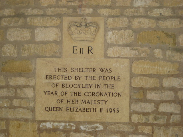
///imperious.shopping.consumed. Near Blockley, Gloucestershire

Related Wikis

Draycott, Gloucestershire

Draycott is a small hamlet in north Gloucestershire between Moreton-in-Marsh and Blockley, within Blockley civil parish. It is not mentioned in Domesday...

Blockley railway station

Blockley railway station served the village of Blockley, Gloucestershire, England from 1853 to 1966 on the Oxford, Worcester and Wolverhampton Railway...

Wellacre Quarry

Wellacre Quarry (grid reference SP180370) is a 12.3 hectare geological Site of Special Scientific Interest in Gloucestershire, notified in 1974. It is...

Aston Magna

Aston Magna is a hamlet located off Fosse Way in north Gloucestershire, England, between Moreton-in-Marsh and Shipston-on-Stour. It forms part of the...

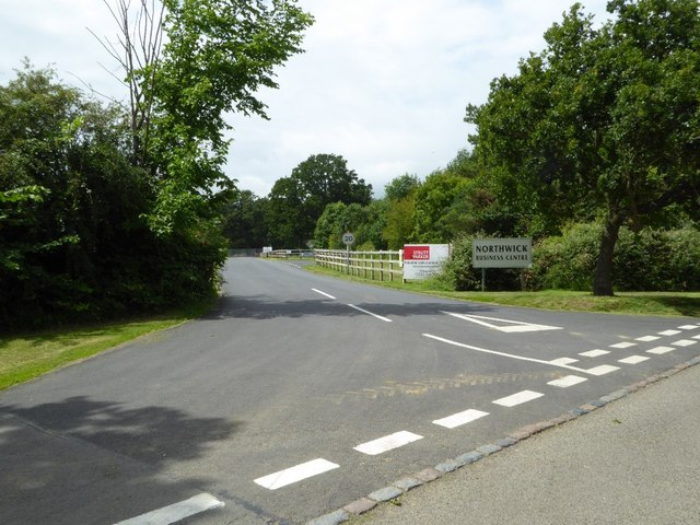
Northwick Park, Gloucestershire

Northwick Park is a residential estate and business centre near Blockley in Gloucestershire, England. The estate is built in the grounds of the former...

Blockley

Blockley is a village, civil parish and ecclesiastical parish in the Cotswold district of Gloucestershire, England, about 3 miles (5 km) northwest of Moreton...

Upper Ditchford

Upper Ditchford is an abandoned village to the west of the Fosse Way between Moreton-in-Marsh and Stretton on Fosse, now in the county of Gloucestershire...

Batsford

Batsford is a village and civil parish in the Cotswold district of Gloucestershire, England. The village is about 1½ miles north-west of Moreton-in...

Nearby Amenities

Located within 500m of 52.020646,-1.736049
Draycott
Is In: Gloucestershire, England, UK
Place: hamlet
Wikidata: Q9210689
Lat/Long: 52.0204666/-1.7381563
Bus Stop
Wydelands & Millennium Green
Bus: yes
Naptan AtcoCode: 1600GL1653
Naptan Bearing: W
Naptan CommonName: Wydelands & Millennium Green
Naptan Indicator: Opp
Naptan NaptanCode: glogjawp
Naptan Street: Northcot Ln
Naptan Verified: no
Public Transport: platform
Source: naptan_import
Lat/Long: 52.0196035/-1.7388978
Bus Stop
Wydelands & Millennium Green
Bus: yes
Naptan AtcoCode: 1600GL1654
Naptan Bearing: E
Naptan CommonName: Wydelands & Millennium Green
Naptan NaptanCode: glogjawt
Naptan Street: Northcott Ln
Naptan Verified: no
Public Transport: platform
Source: naptan_import
Lat/Long: 52.0197439/-1.7387219
Bus Stop
Draycott Business Park
Bus: yes
Naptan AtcoCode: 1600GLC575
Naptan Bearing: E
Naptan CommonName: Draycott Industrial Estate
Naptan Indicator: Opp
Naptan NaptanCode: glogjatp
Naptan Street: Northcot Ln
Naptan Verified: no
Public Transport: platform
Source: naptan_import
Lat/Long: 52.0187185/-1.7426042
Turning Circle
Lat/Long: 52.0206568/-1.7392198
Power: pole
Source: Bing
Lat/Long: 52.0242101/-1.7376439
Power: pole
Source: Bing
Lat/Long: 52.0226479/-1.7403596
Power: pole
Source: Bing
Lat/Long: 52.0222526/-1.7410409
Power: pole
Source: Bing
Lat/Long: 52.0230168/-1.7397213
Power: pole
Source: Bing
Lat/Long: 52.0233908/-1.7390775
Power: pole
Source: Bing
Lat/Long: 52.0210674/-1.7431504
Power: pole
Source: Bing
Lat/Long: 52.0218531/-1.7417463
Power: pole
Source: Bing
Lat/Long: 52.0237505/-1.7384472
Power: pole
Source: Bing
Lat/Long: 52.020952/-1.7414738
Public Bookcase
Booth: K6
Colour: red
Disused Amenity: telephone
Man Made: telephone_box
Public Bookcase Type: phone_box
Lat/Long: 52.0201637/-1.7372176
Post Box
Post Box Type: lamp
Lat/Long: 52.0201323/-1.7372511
Bench
Lat/Long: 52.0200283/-1.7372162
Fixme: continues
Lat/Long: 52.0193451/-1.7301643
Wydelands
Location Transition: yes
Power: pole
Transformer: distribution
Voltage Primary: 11000
Lat/Long: 52.0199327/-1.739725
Power: pole
Lat/Long: 52.020432/-1.7405847
Location Transition: yes
Power: pole
Lat/Long: 52.0250002/-1.7361074
Blockley Sewage Station
Location Transition: yes
Power: pole
Transformer: distribution
Voltage Primary: 11000
Lat/Long: 52.0245534/-1.7370576
Power: pole
Lat/Long: 52.0214785/-1.7424019
New Draycott - Trans
Location Transition: yes
Power: pole
Transformer: distribution
Voltage Primary: 11000
Lat/Long: 52.0215107/-1.7399798
Power: pole
Lat/Long: 52.0164895/-1.7387125
Power: pole
Lat/Long: 52.0168163/-1.7397431
Cotek Papers
Power: transformer
Transformer: distribution
Voltage Primary: 11000
Lat/Long: 52.017848/-1.7415744
The data included in this document is from www.openstreetmap.org. The data is made available under ODbL.

Have you been to Draycott?

Leave your review of Draycott below (or comments, questions and feedback).