Draycott

Settlement in Somerset Mendip

England

Draycott

Draycott Moor Part of the Somerset Levels. Nyland Hill is in the distance.
Draycott Moor Credit: David Purchase

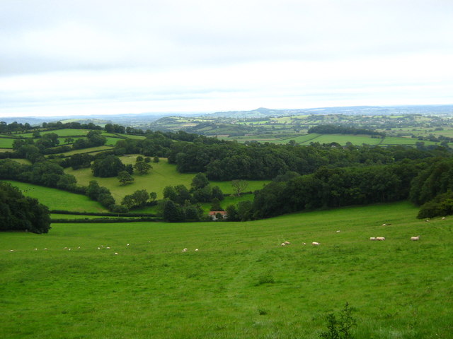
Draycott is a small village located in the county of Somerset, in the southwestern region of England. Situated approximately 3 miles northeast of Cheddar and 12 miles southeast of the city of Bristol, the village is nestled in the beautiful Mendip Hills Area of Outstanding Natural Beauty.

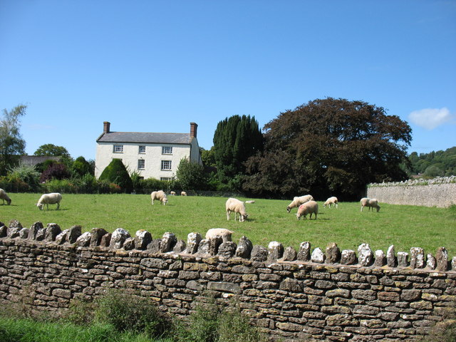
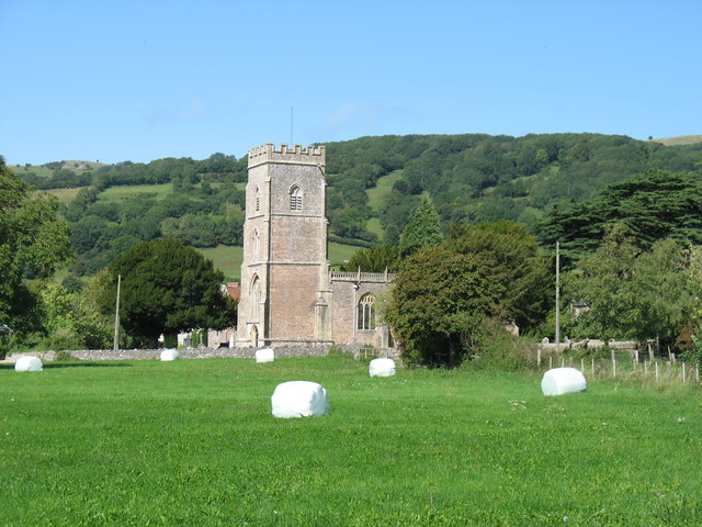
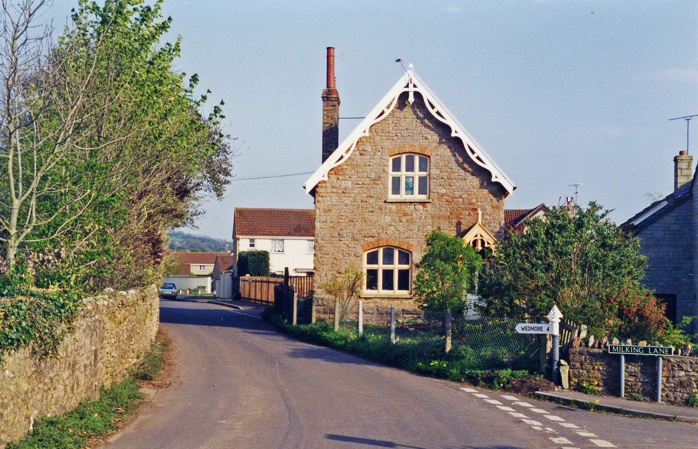
The village of Draycott boasts a rich history, with evidence of human settlement in the area tracing back to the Iron Age. The village is characterized by its charming stone-built cottages and traditional architecture, which adds to its quaint and picturesque appeal.

While Draycott is a relatively small village, it offers a range of amenities and services to its residents. These include a primary school, a village hall, and a post office. The village also has a local pub, serving as a social hub for both locals and visitors alike.

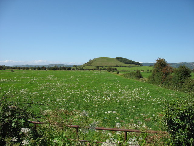
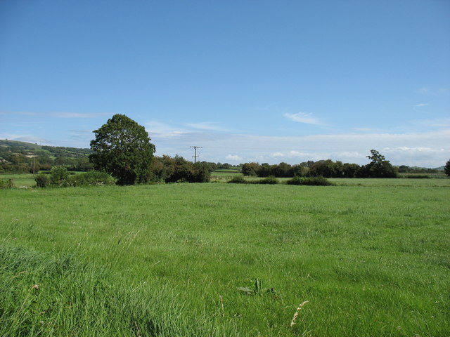
The surrounding countryside of Draycott provides ample opportunities for outdoor activities and exploration. The nearby Mendip Hills offer stunning walks and hikes, with breathtaking views of the surrounding landscape. Additionally, the famous Cheddar Gorge, renowned for its dramatic cliffs and stunning caves, is just a short distance away.

Draycott is well-connected to other parts of Somerset and beyond. The nearby A371 road provides easy access to the larger towns and cities in the area, while the nearby train stations of Yatton and Weston-super-Mare offer regular services to Bristol and other major cities.

Overall, Draycott is a charming village that offers a peaceful and idyllic lifestyle, surrounded by stunning natural beauty and with easy access to both rural and urban amenities.

If you have any feedback on the listing, please let us know in the comments section below.
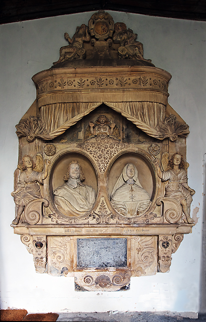
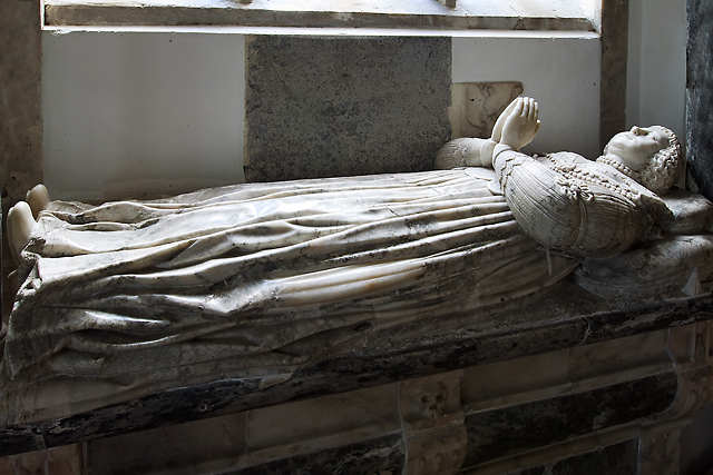
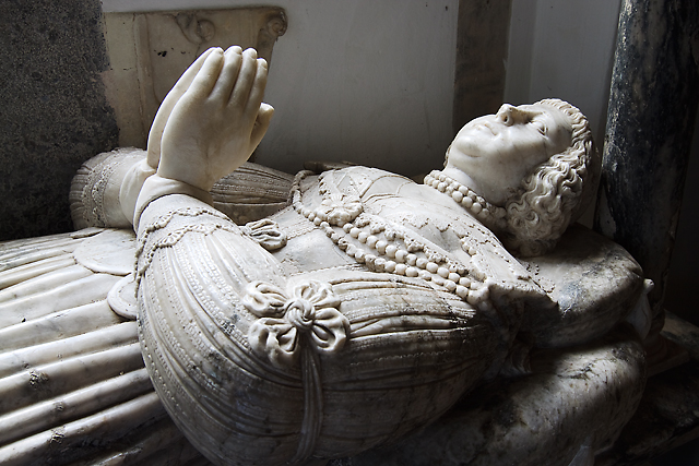
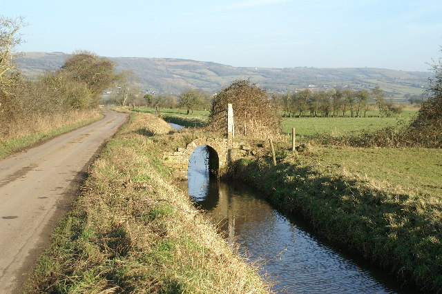
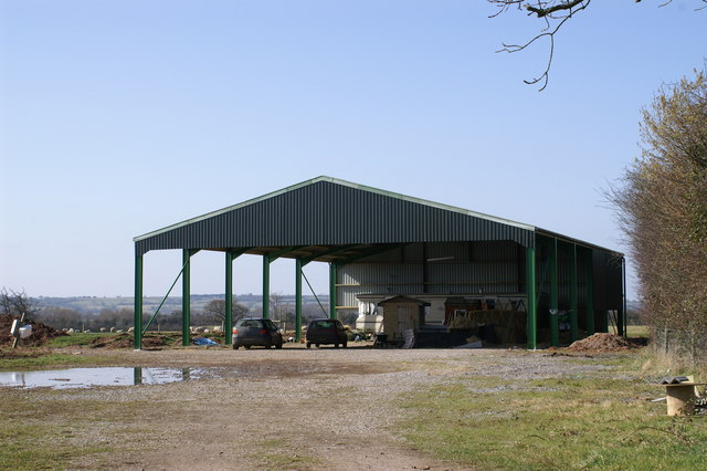
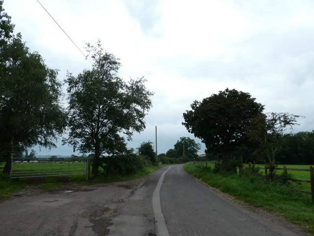
Draycott Images

Images are sourced within 2km of 51.256214/-2.754885 or Grid Reference ST4751. Thanks to Geograph Open Source API. All images are credited.

Draycott Moor Part of the Somerset Levels. Nyland Hill is in the distance.
Draycott Moor
Part of the Somerset Levels. Nyland Hill is in the distance.
Stoke Moor On the Somerset Levels.
Stoke Moor
On the Somerset Levels.
In Rodney Stoke
In Rodney Stoke
St Leonard's church, Rodney Stoke
St Leonard's church, Rodney Stoke - monument to Sir Edward Rodney This monument has two oval recesses featuring the busts of Sir Edward Rodney (†1657) and his wife (†1659) under a canopy with a raised curtain. They are flanked left and right by two seated angels, a third sits on a cloud below the canopy. It was Sir Edward who gave the church its chancel screen, pulpit, and font cover.
St Leonard's church, Rodney Stoke - monument to Sir Edward Rodney
This monument has two oval recesses featuring the busts of Sir Edward Rodney (†1657) and his wife (†1659) under a canopy with a raised curtain. They are flanked left and right by two seated angels, a third sits on a cloud below the canopy. It was Sir Edward who gave the church its chancel screen, pulpit, and font cover.
St Leonard's church, Rodney Stoke - monument to Anne Lakes This monument in the north chapel is to Anne Lakes (†1630), wife of George Rodney and daughter of Sir Thomas Lakes of Channons in Middlesex. Her effigy in alabaster lies on top of a sarcophagus base below a delicate arch supported by Ionic columns. The arch is decorated inside with stars and clouds.
St Leonard's church, Rodney Stoke - monument to Anne Lakes
This monument in the north chapel is to Anne Lakes (†1630), wife of George Rodney and daughter of Sir Thomas Lakes of Channons in Middlesex. Her effigy in alabaster lies on top of a sarcophagus base below a delicate arch supported by Ionic columns. The arch is decorated inside with stars and clouds.
St Leonard's church, Rodney Stoke - monument to Anne Lakes (2) detail
St Leonard's church, Rodney Stoke - monument to Anne Lakes (3) detail
St Leonard's church, Rodney Stoke - monument to George Rodney The monument to George Rodney (†1651) shows him as the demi-figure in a shroud rising from a coffin set between two earth -bound putti. An angel in the clouds in the open segmental pediment blows a trumpet. The base plinth is decorated with strapwork.
St Leonard's church, Rodney Stoke - monument to George Rodney
The monument to George Rodney (†1651) shows him as the demi-figure in a shroud rising from a coffin set between two earth -bound putti. An angel in the clouds in the open segmental pediment blows a trumpet. The base plinth is decorated with strapwork.
Little arched bridge over a Rhyne
Lower Stoke Farm
Lower Stoke Farm
St Leonard's Church In Rodney Stoke founded 1175
St Leonard's Church
In Rodney Stoke founded 1175
Rush hour in Rodney Stoke
St Leonard, Rodney Stoke: August 2023
St Leonard, Rodney Stoke: centenary commemoration Not many villages had no casualties during The Great War. Those that did not are called "Thankful Villages" <span class="nowrap"><a title="https://www.historic-uk.com/HistoryUK/HistoryofBritain/Thankful-Villages/" rel="nofollow ugc noopener" href="https://www.historic-uk.com/HistoryUK/HistoryofBritain/Thankful-Villages/">Link</a><img style="margin-left:2px;" alt="External link" title="External link - shift click to open in new window" src="https://s1.geograph.org.uk/img/external.png" width="10" height="10"/></span>
St Leonard, Rodney Stoke: centenary commemoration
Not many villages had no casualties during The Great War. Those that did not are called "Thankful Villages" LinkExternal link
St Leonard, Rodney Stoke: with all our thanks Not many villages had no casualties during The Great War. Those that did not are called "Thankful Villages" <span class="nowrap"><a title="https://www.historic-uk.com/HistoryUK/HistoryofBritain/Thankful-Villages/" rel="nofollow ugc noopener" href="https://www.historic-uk.com/HistoryUK/HistoryofBritain/Thankful-Villages/">Link</a><img style="margin-left:2px;" alt="External link" title="External link - shift click to open in new window" src="https://s1.geograph.org.uk/img/external.png" width="10" height="10"/></span>
St Leonard, Rodney Stoke: with all our thanks
Not many villages had no casualties during The Great War. Those that did not are called "Thankful Villages" LinkExternal link
St Leonard, Rodney Stoke: the Thankful Window Not many villages had no casualties during The Great War. Those that did not are called "Thankful Villages" <span class="nowrap"><a title="https://www.historic-uk.com/HistoryUK/HistoryofBritain/Thankful-Villages/" rel="nofollow ugc noopener" href="https://www.historic-uk.com/HistoryUK/HistoryofBritain/Thankful-Villages/">Link</a><img style="margin-left:2px;" alt="External link" title="External link - shift click to open in new window" src="https://s1.geograph.org.uk/img/external.png" width="10" height="10"/></span>
St Leonard, Rodney Stoke: the Thankful Window
Not many villages had no casualties during The Great War. Those that did not are called "Thankful Villages" LinkExternal link
Inside St Leonard, Rodney Stoke (A)
Show me another place!

Draycott is located at Grid Ref: ST4751 (Lat: 51.256214, Lng: -2.754885)

Administrative County: Somerset

District: Mendip

Police Authority: Avon and Somerset

What 3 Words

///geology.foam.partly. Near Draycott, Somerset

Nearby Locations

Draycott

Related Wikis

Draycott, Somerset

Draycott is a village in Somerset, England, neighbouring the village of Cheddar on the southern edge of the Mendip Hills Area of Outstanding Natural Beauty...

Draycott railway station

Draycott railway station was a station on the Bristol and Exeter Railway's Cheddar Valley line in Draycott, Somerset. The station was opened with the extension...

Draycott Sleights

Draycott Sleights (grid reference ST483518) is a 61.95 hectares (153.1 acres) biological Site of Special Scientific Interest at Draycott in the Mendip...

Cheddar Ales

Cheddar Ales is an independent, artisanal brewery located in the village of Cheddar in Somerset, England, which produces a range of regular and seasonal...

Rodney Stoke

Rodney Stoke is a small village and civil parish, located at grid reference ST486501, 5 miles north-west of Wells, in the English county of Somerset. The...

Rodney Stoke SSSI

Rodney Stoke (grid reference ST492507) is a 69.6 hectare (172.0 acre) biological Site of Special Scientific Interest, just north of the village of Rodney...

Westbury Camp

Westbury Camp is a univallate Iron Age hill fort in the Mendip Hills in Somerset, England. The hill fort is situated in the parish of Rodney Stoke, approximately...

Cheddar A.F.C.

Cheddar Association Football Club is a football club based in Cheddar, near Wells in Somerset, England. They are currently members of the Western League...

Nearby Amenities

Located within 500m of 51.256214,-2.754885
Draycott
Place: village
Source: npe
Wikidata: Q5306087
Wikipedia: en:Draycott, Somerset
Lat/Long: 51.2556653/-2.7509388
Historic: memorial
Memorial: war_memorial
Lat/Long: 51.2553972/-2.7500206
Pub
Strawberry Special
Addr City: Bristol
Addr Housename: Strawberry Special
Addr Postcode: BS27 3TQ
Addr Street: Station Road
Opening Hours: Mo-Fr 19:00-23:00; We,Fr 12:00-14:00; Sa 12:00-00:00, Su 12:00-22:30
Outdoor Seating: yes
Website: http://www.strawberryspecial.com/
Lat/Long: 51.2528459/-2.7535941
Sharon’s house
Tourism: hostel
Lat/Long: 51.2555663/-2.7540885
Post Box
Operator: Royal Mail
Post Box Type: wall
Ref: BS27 159D
Royal Cypher: GVIR
Royal Cypher Wikidata: Q33102169
Lat/Long: 51.2577602/-2.7525486
Bus Stop
Back Lane (Eastbound)
Bus: yes
Departures Board: timetable
Naptan AtcoCode: 3600SOB21246
Naptan Bearing: SE
Naptan CommonName: Back Lane
Naptan Indicator: SE-bound
Naptan NaptanCode: sotawjmj
Naptan Street: Wells Road
Naptan Verified: no
Operator: Libra Travel
Public Transport: platform
Shelter: yes
Lat/Long: 51.2558698/-2.7506942
Bus Stop
Back Lane (Westbound)
Bus: yes
Departures Board: timetable
Naptan AtcoCode: 3600SOB21245
Naptan Bearing: NW
Naptan CommonName: Back Lane
Naptan Indicator: NW-bound
Naptan NaptanCode: sotawjgw
Naptan Street: Wells Road
Naptan Verified: no
Operator: Libra Travel
Public Transport: platform
Shelter: yes
Lat/Long: 51.2563261/-2.7514144
Draycott Community Shop
Addr City: Cheddar
Addr Housename: Draycott Community Shop
Addr Postcode: BS27 3TH
Addr Street: The Street
Opening Hours: Mo-Sa 08:00-17:00; Su 08:00-13:00
Payment Cards: yes
Payment Cash: yes
Shop: convenience
Lat/Long: 51.2546692/-2.7517524
The data included in this document is from www.openstreetmap.org. The data is made available under ODbL.

Have you been to Draycott?

Leave your review of Draycott below (or comments, questions and feedback).