Blockley

Civil Parish in Gloucestershire Cotswold

England

Blockley

Village Signpost on Station Road in Blockley Located on the southeast side of the B4479 Station Road in Blockley parish.

Milestone Society National ID: GL_SP1735V
Village Signpost on Station Road in Blockley Credit: Roadside Relics

Blockley is a civil parish located in the Cotswold district of Gloucestershire, England. Situated in the north of the county, the village of Blockley lies on the B4479 road, approximately three miles northwest of Moreton-in-Marsh. The parish covers an area of around 2,000 acres and is characterized by its picturesque Cotswold stone buildings and rolling countryside.

Blockley has a rich history, dating back to the Domesday Book of 1086. The village was primarily known for its wool industry during the medieval period, with many of its buildings constructed using locally quarried limestone. Today, the village retains its historic charm, with several notable landmarks, including St. Peter and St. Paul Church, which dates back to the 12th century.

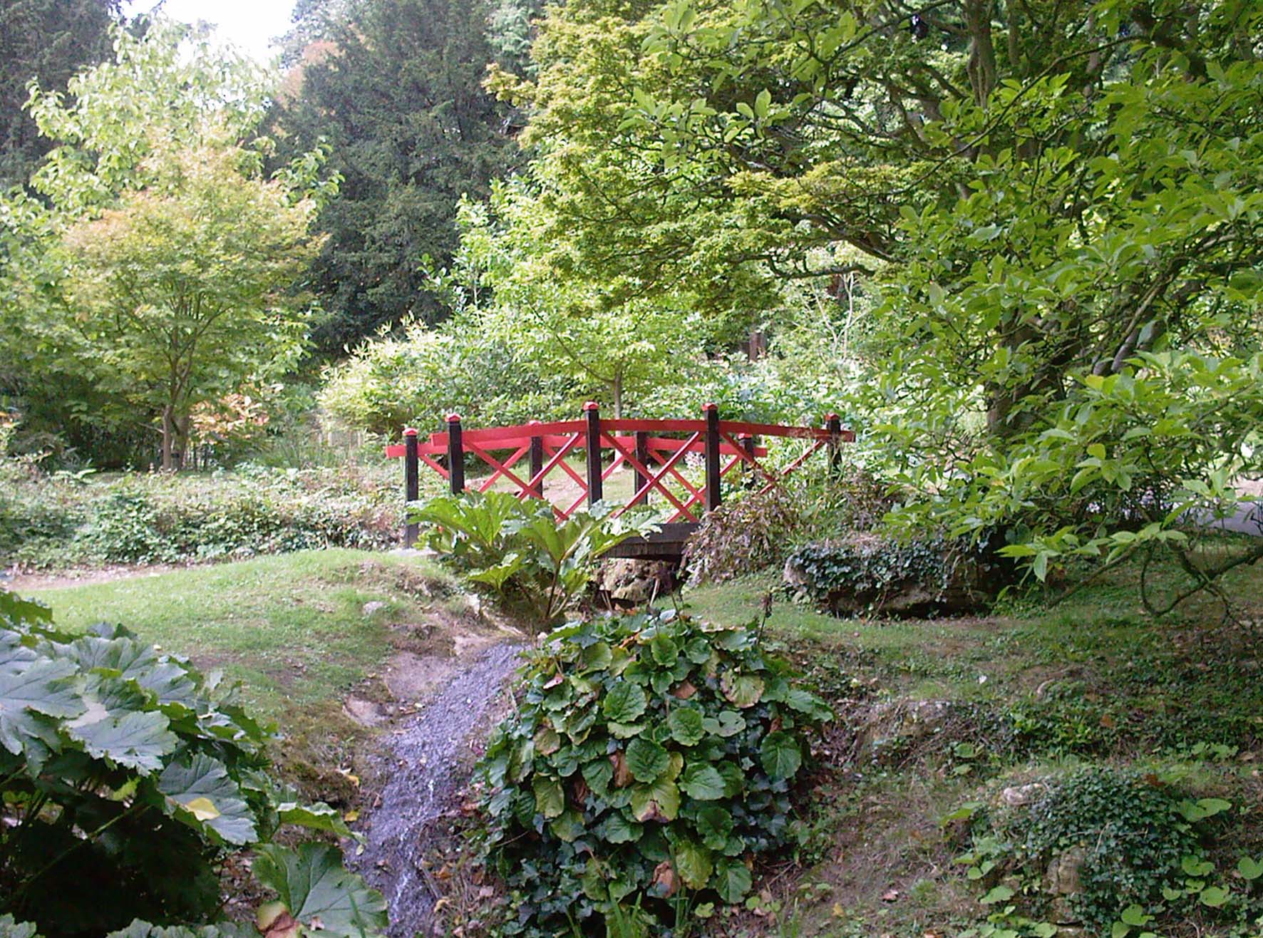
The village is home to a close-knit community, with a population of around 1,500 residents. It offers a range of amenities, including a primary school, a post office, a village shop, and a pub. The surrounding countryside is popular with walkers and nature enthusiasts, with numerous footpaths and trails providing access to the beautiful Cotswold landscape.

Blockley is well-connected, with regular bus services connecting the village to nearby towns and villages. It also benefits from its proximity to Moreton-in-Marsh, which provides further amenities and transport links, including a railway station on the London Paddington to Hereford line.

Overall, Blockley is a charming and idyllic village in Gloucestershire, offering a peaceful rural lifestyle and a strong sense of community.

If you have any feedback on the listing, please let us know in the comments section below.
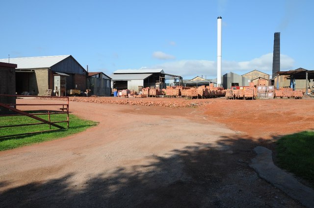
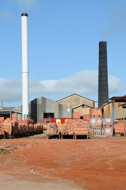
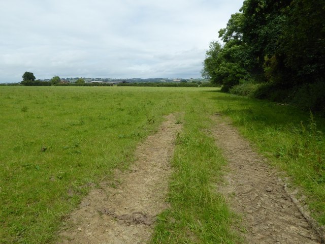
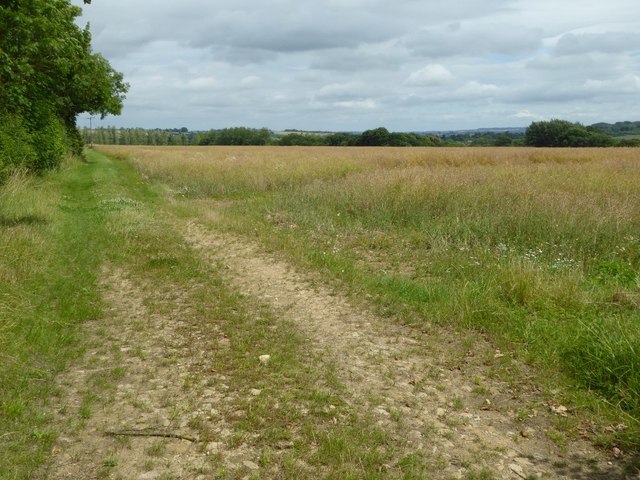
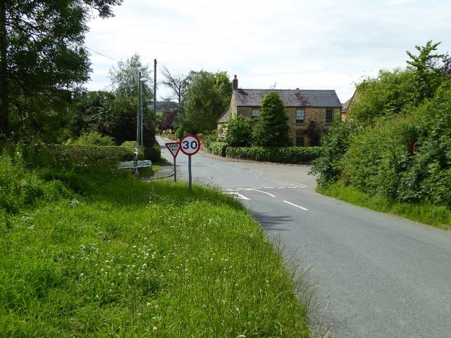
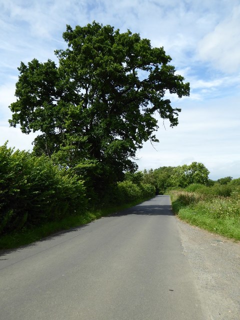
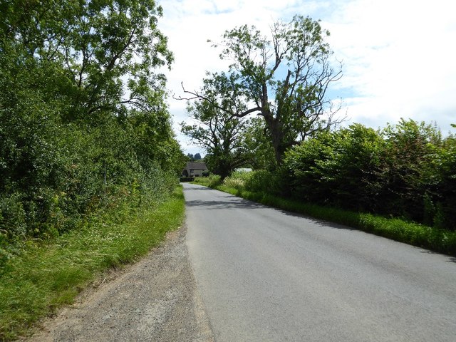
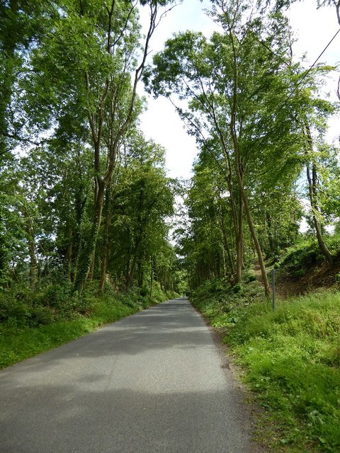
Blockley Images

Images are sourced within 2km of 52.020652/-1.738949 or Grid Reference SP1835. Thanks to Geograph Open Source API. All images are credited.

Village Signpost on Station Road in Blockley Located on the southeast side of the B4479 Station Road in Blockley parish.

Milestone Society National ID: GL_SP1735V
Village Signpost on Station Road in Blockley
Located on the southeast side of the B4479 Station Road in Blockley parish. Milestone Society National ID: GL_SP1735V
Northcot Bricks Limited The Northcot Brick works are beside the Worcester to Oxford Railway and Station Road between Blockley and Paxford,
Northcot Bricks Limited
The Northcot Brick works are beside the Worcester to Oxford Railway and Station Road between Blockley and Paxford,
Chimneys at Northcot Brick Works, Chimneys at Northcot Brick Works viewed from Station Road between Blockley and Paxford.
Chimneys at Northcot Brick Works,
Chimneys at Northcot Brick Works viewed from Station Road between Blockley and Paxford.
Field near Grey stone Farm A bridleway follows the hedgerow to the right of this field near GreyStone Farm which can be seen by the hedge to the left.
Field near Grey stone Farm
A bridleway follows the hedgerow to the right of this field near GreyStone Farm which can be seen by the hedge to the left.
Headland track near Wellacres Farm Headland track near Wellacres Farm to the north of the village of Draycott.
Headland track near Wellacres Farm
Headland track near Wellacres Farm to the north of the village of Draycott.
Entrance to Northwick Business Centre Entrance to Northwick Business Centre near the village of Draycott.
Entrance to Northwick Business Centre
Entrance to Northwick Business Centre near the village of Draycott.
Gate and track Gateway and track to farmland near the village of Draycott.  This is also the route of a bridleway.
Gate and track
Gateway and track to farmland near the village of Draycott. This is also the route of a bridleway.
Farmland track Farmland track and bridleway near Draycott.
Farmland track
Farmland track and bridleway near Draycott.
Farmland at Draycott Difficult to identify the crop being grown here in this field on the edge of the village of Drayton.
Farmland at Draycott
Difficult to identify the crop being grown here in this field on the edge of the village of Drayton.
Crossroads in Draycott
Oak tree beside the road An oak tree in the hedgerow beside a country road near Draycott.
Oak tree beside the road
An oak tree in the hedgerow beside a country road near Draycott.
Road approaching Draycott
Road passing through Beech Plantation Road passing through Beech Plantation in Northwick Park.
Road passing through Beech Plantation
Road passing through Beech Plantation in Northwick Park.
Batsford Junction The view near the Gloucestershire village.
Batsford Junction
The view near the Gloucestershire village.
The reason for 'Doing Posh' The dedication plaque for the village bus shelter.
The Coronation of Queen Elizabeth II.
The reason for 'Doing Posh'
The dedication plaque for the village bus shelter. The Coronation of Queen Elizabeth II.
Blockley does posh Whilst the camera does not capture the warmth of the Cotswold stone.
This is one well kept and crafted bus shelter.
It is over 60 years old and commemorates Queen Elizabeth II Coronation.
<a href="https://www.geograph.org.uk/photo/5308627">SP1635 : The reason for 'Doing Posh'</a> has a photo of the plaque.
Blockley does posh
Whilst the camera does not capture the warmth of the Cotswold stone. This is one well kept and crafted bus shelter. It is over 60 years old and commemorates Queen Elizabeth II Coronation. SP1635 : The reason for 'Doing Posh' has a photo of the plaque.
Green in Winter A rather grand conifer in Lower Street.
Green in Winter
A rather grand conifer in Lower Street.
I have a question Are the railings to keep us out or them in?
Quite a number of tombs in this church yard have railings around them.
One would speculate that these are post WWII.
The tomb in front is a bale reflecting the wool trade of the past.
I have a question
Are the railings to keep us out or them in? Quite a number of tombs in this church yard have railings around them. One would speculate that these are post WWII. The tomb in front is a bale reflecting the wool trade of the past.
Show me another place!

Blockley is located at Grid Ref: SP1835 (Lat: 52.020652, Lng: -1.738949)

Administrative County: Gloucestershire

District: Cotswold

Police Authority: Gloucestershire

What 3 Words

///area.trifling.juniors. Near Blockley, Gloucestershire

Related Wikis

Draycott, Gloucestershire

Draycott is a small hamlet in north Gloucestershire between Moreton-in-Marsh and Blockley, within Blockley civil parish. It is not mentioned in Domesday...

Blockley railway station

Blockley railway station served the village of Blockley, Gloucestershire, England from 1853 to 1966 on the Oxford, Worcester and Wolverhampton Railway...

Wellacre Quarry

Wellacre Quarry (grid reference SP180370) is a 12.3 hectare geological Site of Special Scientific Interest in Gloucestershire, notified in 1974. It is...

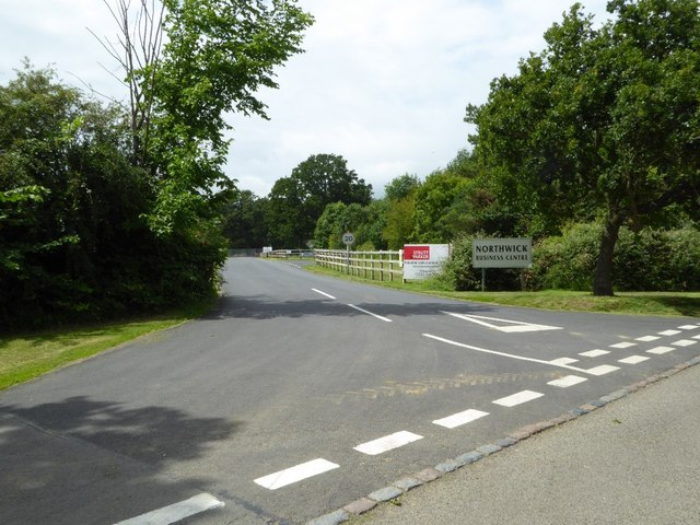
Northwick Park, Gloucestershire

Northwick Park is a residential estate and business centre near Blockley in Gloucestershire, England. The estate is built in the grounds of the former...

Aston Magna

Aston Magna is a hamlet located off Fosse Way in north Gloucestershire, England, between Moreton-in-Marsh and Shipston-on-Stour. It forms part of the...

Blockley

Blockley is a village, civil parish and ecclesiastical parish in the Cotswold district of Gloucestershire, England, about 3 miles (5 km) northwest of Moreton...

Batsford

Batsford is a village and civil parish in the Cotswold district of Gloucestershire, England. The village is about 1½ miles north-west of Moreton-in...

Batsford Arboretum

Batsford Arboretum is a 55-acre (220,000 m2) arboretum and botanical garden near Batsford in Gloucestershire, England, about 1½ miles north-west of Moreton...

Nearby Amenities

Located within 500m of 52.020652,-1.738949
Draycott
Is In: Gloucestershire, England, UK
Place: hamlet
Wikidata: Q9210689
Lat/Long: 52.0204666/-1.7381563
Bus Stop
Wydelands & Millennium Green
Bus: yes
Naptan AtcoCode: 1600GL1653
Naptan Bearing: W
Naptan CommonName: Wydelands & Millennium Green
Naptan Indicator: Opp
Naptan NaptanCode: glogjawp
Naptan Street: Northcot Ln
Naptan Verified: no
Public Transport: platform
Source: naptan_import
Lat/Long: 52.0196035/-1.7388978
Bus Stop
Wydelands & Millennium Green
Bus: yes
Naptan AtcoCode: 1600GL1654
Naptan Bearing: E
Naptan CommonName: Wydelands & Millennium Green
Naptan NaptanCode: glogjawt
Naptan Street: Northcott Ln
Naptan Verified: no
Public Transport: platform
Source: naptan_import
Lat/Long: 52.0197439/-1.7387219
Bus Stop
Northwick Crossroads
Bus: yes
Naptan AtcoCode: 1600GL3559
Naptan Bearing: NE
Naptan CommonName: Northwick Crossroads
Naptan NaptanCode: glogjapw
Naptan Street: Station Rd B4479
Naptan Verified: no
Public Transport: platform
Source: naptan_import
Lat/Long: 52.0235497/-1.7440339
Bus Stop
Northwick Crossroads
Bus: yes
Naptan AtcoCode: 1600GL3560
Naptan Bearing: SW
Naptan CommonName: Northwick Crossroads
Naptan NaptanCode: glogjapt
Naptan Street: Station Rd B4479
Naptan Verified: no
Public Transport: platform
Source: naptan_import
Lat/Long: 52.0234509/-1.744049
Bus Stop
Draycott Business Park
Bus: yes
Naptan AtcoCode: 1600GLC575
Naptan Bearing: E
Naptan CommonName: Draycott Industrial Estate
Naptan Indicator: Opp
Naptan NaptanCode: glogjatp
Naptan Street: Northcot Ln
Naptan Verified: no
Public Transport: platform
Source: naptan_import
Lat/Long: 52.0187185/-1.7426042
Bus Stop
Draycott Business Park
Bus: yes
Naptan AtcoCode: 1600GLC576
Naptan Bearing: W
Naptan CommonName: Draycott Industrial Estate
Naptan NaptanCode: glogjatm
Naptan Street: Northcot Ln
Naptan Verified: no
Public Transport: platform
Source: naptan_import
Lat/Long: 52.0186197/-1.7426485
Turning Circle
Lat/Long: 52.0206568/-1.7392198
Entrance: yes
Lat/Long: 52.0166184/-1.7420041
Entrance: yes
Lat/Long: 52.0167316/-1.7421526
Power: pole
Source: Bing
Lat/Long: 52.0242101/-1.7376439
Power: pole
Source: Bing
Lat/Long: 52.0226479/-1.7403596
Power: pole
Source: Bing
Lat/Long: 52.0222526/-1.7410409
Power: pole
Source: Bing
Lat/Long: 52.0230168/-1.7397213
Power: pole
Source: Bing
Lat/Long: 52.0202926/-1.7444674
Power: pole
Source: Bing
Lat/Long: 52.0233908/-1.7390775
Power: pole
Source: Bing
Lat/Long: 52.0210674/-1.7431504
Power: pole
Source: Bing
Lat/Long: 52.0218531/-1.7417463
Power: pole
Source: Bing
Lat/Long: 52.0237505/-1.7384472
Power: pole
Source: Bing
Lat/Long: 52.0206887/-1.7437835
Power: pole
Source: Bing
Lat/Long: 52.0195713/-1.7456757
Power: pole
Source: Bing
Lat/Long: 52.020952/-1.7414738
Public Bookcase
Booth: K6
Colour: red
Disused Amenity: telephone
Man Made: telephone_box
Public Bookcase Type: phone_box
Lat/Long: 52.0201637/-1.7372176
Post Box
Post Box Type: lamp
Lat/Long: 52.0201323/-1.7372511
Bench
Lat/Long: 52.0200283/-1.7372162
Wydelands
Location Transition: yes
Power: pole
Transformer: distribution
Voltage Primary: 11000
Lat/Long: 52.0199327/-1.739725
Power: pole
Lat/Long: 52.020432/-1.7405847
Blockley Sewage Station
Location Transition: yes
Power: pole
Transformer: distribution
Voltage Primary: 11000
Lat/Long: 52.0245534/-1.7370576
Power: pole
Lat/Long: 52.0214785/-1.7424019
Power: pole
Lat/Long: 52.0199129/-1.745123
New Draycott - Trans
Location Transition: yes
Power: pole
Transformer: distribution
Voltage Primary: 11000
Lat/Long: 52.0215107/-1.7399798
Power: pole
Lat/Long: 52.0164895/-1.7387125
Power: pole
Lat/Long: 52.0168163/-1.7397431
Power: pole
Lat/Long: 52.0171341/-1.7407409
Location Transition: yes
Power: pole
Lat/Long: 52.017241/-1.7410883
Draycot Industrial
Power: transformer
Transformer: distribution
Voltage Primary: 11000
Lat/Long: 52.0172455/-1.7420974
Cotek Papers
Power: transformer
Transformer: distribution
Voltage Primary: 11000
Lat/Long: 52.017848/-1.7415744
The data included in this document is from www.openstreetmap.org. The data is made available under ODbL.

Have you been to Blockley?

Leave your review of Blockley below (or comments, questions and feedback).