Allotment Plantation
Wood, Forest in Berkshire
England
Allotment Plantation
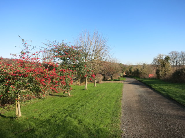
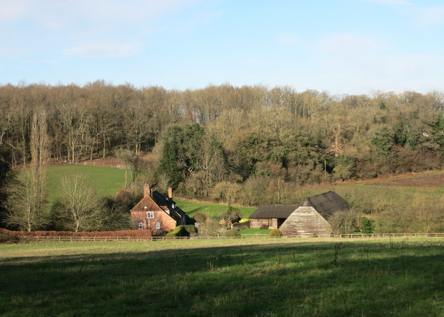
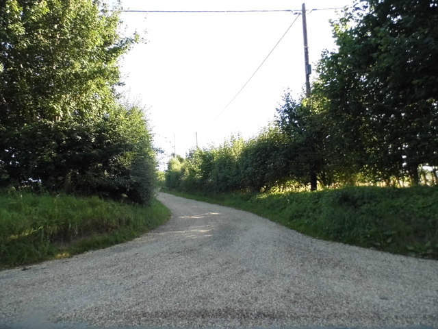
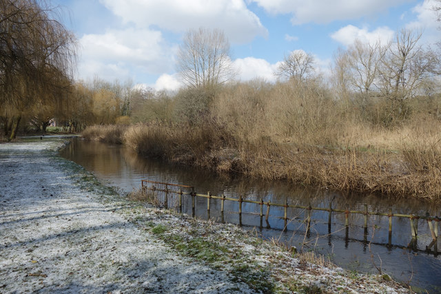
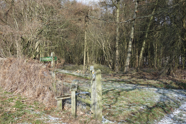
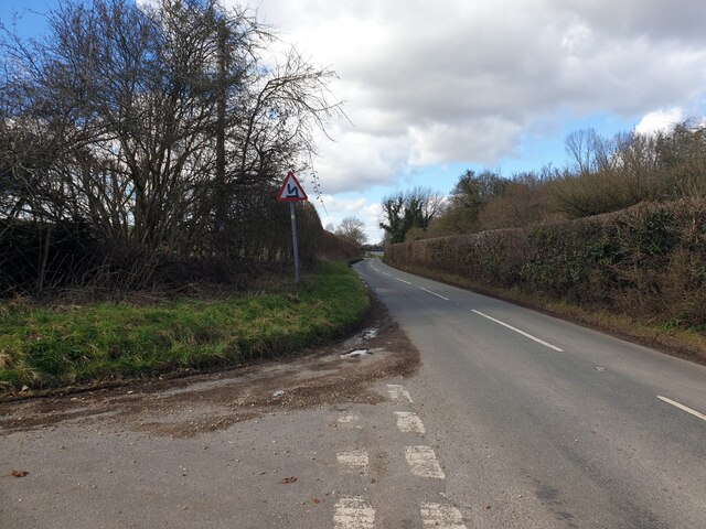
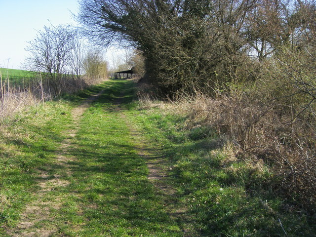
The Allotment Plantation is a woodland area located in Berkshire, England. Covering a vast expanse of land, the plantation is known for its dense and diverse forest, making it a popular destination for nature enthusiasts and hikers alike.
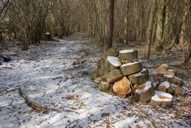
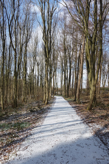
The woodland is primarily composed of a variety of deciduous trees, such as oak, beech, and birch. These trees provide a canopy that creates a serene and shaded atmosphere, perfect for escaping the hustle and bustle of everyday life. The forest floor is covered in a thick carpet of moss and ferns, adding to the enchanting quality of the area.
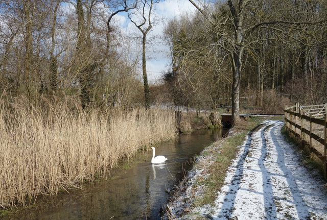
The Allotment Plantation is home to a wide range of flora and fauna, making it a haven for wildlife. Visitors may spot various species of birds, including woodpeckers, owls, and finches, as they flit among the trees. Squirrels can also be seen scurrying about, gathering nuts and acorns for their winter stash.
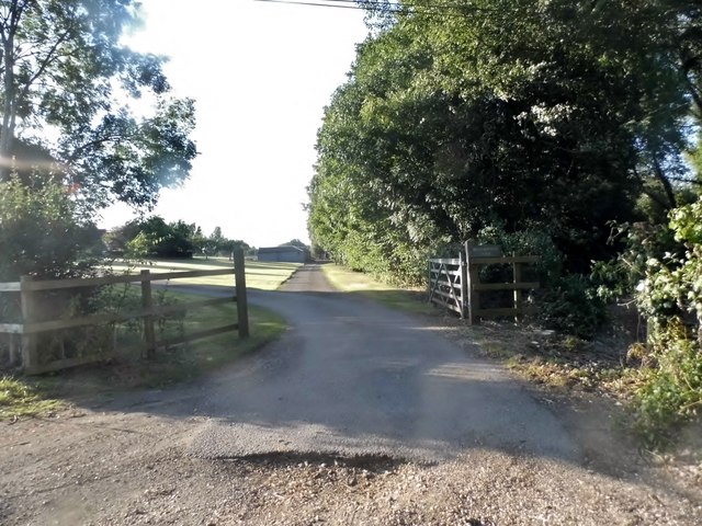
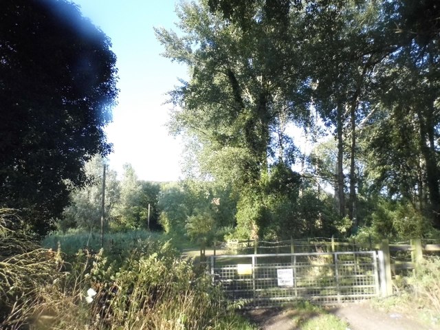
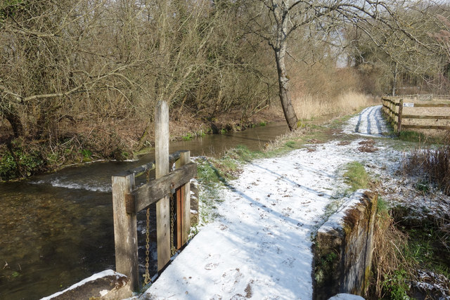
There are several well-maintained trails that wind through the plantation, allowing visitors to explore the area at their leisure. These paths offer stunning views of the woodland, with occasional clearings that provide glimpses of the surrounding countryside.
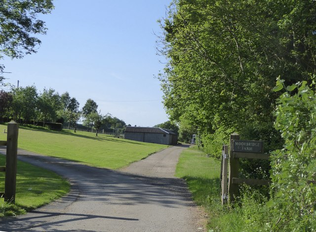
The Allotment Plantation is managed by the local council, ensuring the preservation of its natural beauty. It is open to the public year-round and offers a peaceful retreat for those seeking solace in nature. Whether it's a leisurely stroll or an adventurous hike, the Allotment Plantation is a must-visit destination for anyone with an appreciation for the great outdoors.
If you have any feedback on the listing, please let us know in the comments section below.
Allotment Plantation Images
Images are sourced within 2km of 51.417202/-1.3844077 or Grid Reference SU4268. Thanks to Geograph Open Source API. All images are credited.
Allotment Plantation is located at Grid Ref: SU4268 (Lat: 51.417202, Lng: -1.3844077)
Unitary Authority: West Berkshire
Police Authority: Thames Valley
What 3 Words
///truffles.name.dance. Near Winterbourne, Berkshire
Related Wikis
Stockcross
Stockcross is a village in Berkshire, England. The village lies to the west of Newbury in the civil parish of Speen and the district of West Berkshire...

Hunts Green, Berkshire
Hunts Green is a hamlet in Berkshire, England, and part of the civil parish of Boxford. The settlement lies west of the A34 road (Newbury Bypass) and approximately...
Hungerford Newtown
Hungerford Newtown is a hamlet in the civil parish of Hungerford, Berkshire, England. It is south of the M4 motorway, near junction 14, on the A338, and...
The Vineyard Hotel
The Vineyard is a hotel, restaurant and spa located near Newbury, Berkshire, United Kingdom, rated 5-star prior to 2014. It has won a number of awards...

Stockcross and Bagnor Halt railway station
Stockcross and Bagnor Halt railway station was a railway station near Newbury, Berkshire, UK, on the Lambourn Valley Railway. It served the villages of...

Marsh Benham
Marsh Benham is a village in the civil parish of Speen in the county of Berkshire, England. It is situated in the unitary authority of West Berkshire,...
Wickham Heath
Wickham Heath is a small hamlet in Berkshire, England, and part of the civil parish of Welford. The settlement lies on the B4000, approximately 4 miles...

Woodspeen
Woodspeen is a village in Berkshire, England, and part of the civil parish of Speen. The settlement lies near to the A34 road (Newbury Bypass), and is...
Nearby Amenities
Located within 500m of 51.417202,-1.3844077Have you been to Allotment Plantation?
Leave your review of Allotment Plantation below (or comments, questions and feedback).