Oak Copse
Wood, Forest in Berkshire
England
Oak Copse
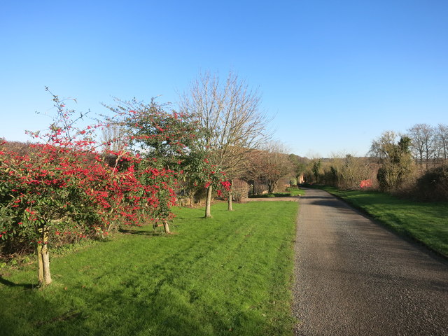
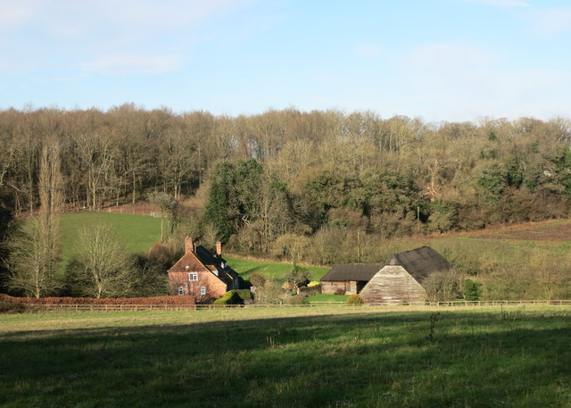
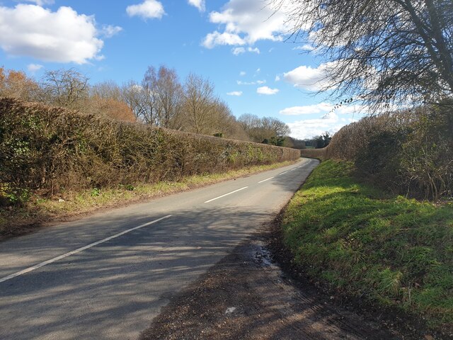
Oak Copse is a picturesque woodland located in Berkshire, England. Situated in the heart of the county, this forested area covers approximately 100 acres and is known for its dense population of oak trees, hence its name. Oak Copse is a popular destination for nature enthusiasts, hikers, and those seeking tranquility amidst nature's beauty.
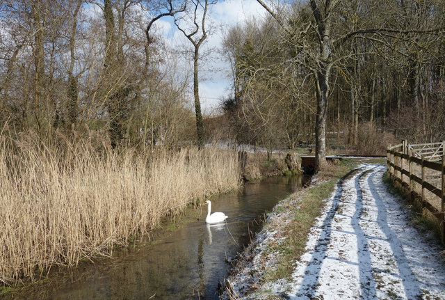
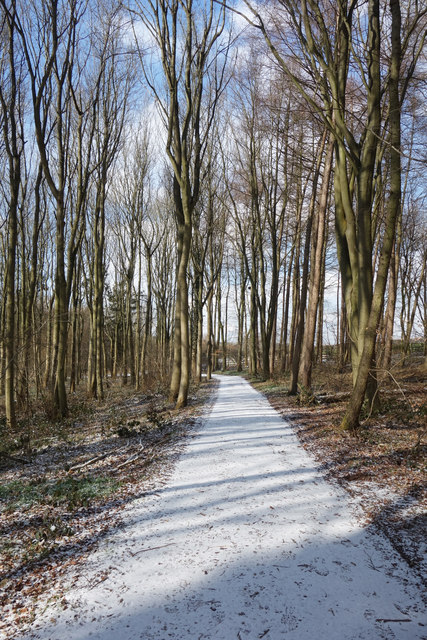
The forest is characterized by its mature and majestic oak trees, which provide a rich canopy that filters sunlight and creates a pleasant, shaded environment. The towering oaks, with their gnarled trunks and sprawling branches, create a sense of enchantment and wonder as visitors stroll through the woodland.
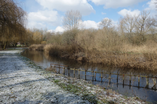
The forest floor of Oak Copse is covered in a lush carpet of wildflowers, ferns, and mosses, adding to its natural charm. This vibrant undergrowth is home to a variety of small animals, birds, and insects, making it a haven for wildlife enthusiasts and birdwatchers.
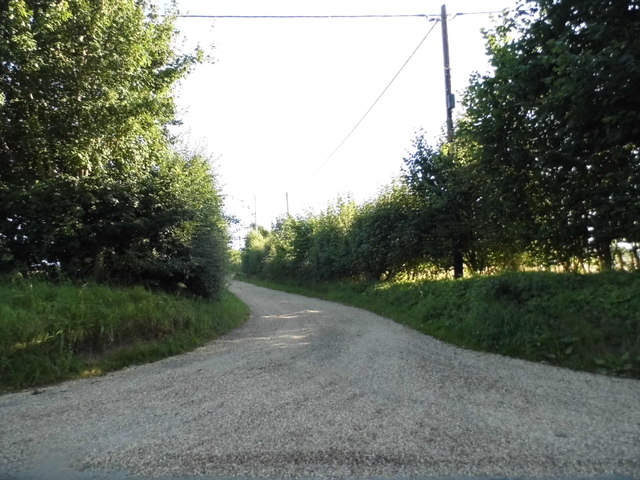
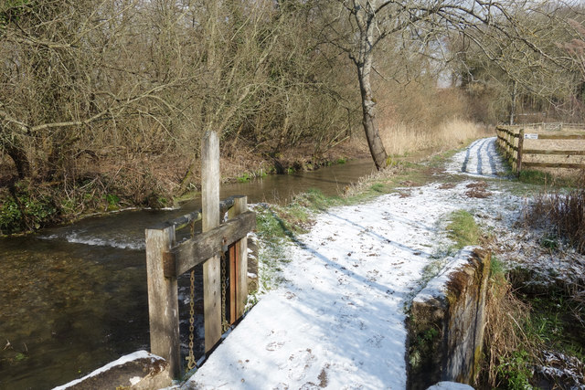
The woodland itself is crisscrossed by a network of well-maintained footpaths, allowing visitors to explore the forest and witness its beauty up close. These paths wind through the oak groves, leading to hidden clearings, babbling brooks, and small ponds, providing opportunities for peaceful reflection and relaxation.
Oak Copse is open to the public throughout the year and is particularly popular during the spring and summer months when the forest is alive with the sounds of birdsong and the scent of wildflowers. It offers a serene escape from the hustle and bustle of everyday life, providing a place for visitors to connect with nature and appreciate the tranquility of the woodland environment.
If you have any feedback on the listing, please let us know in the comments section below.
Oak Copse Images
Images are sourced within 2km of 51.413851/-1.3849128 or Grid Reference SU4268. Thanks to Geograph Open Source API. All images are credited.


Oak Copse is located at Grid Ref: SU4268 (Lat: 51.413851, Lng: -1.3849128)
Unitary Authority: West Berkshire
Police Authority: Thames Valley
What 3 Words
///food.cloud.screeches. Near Winterbourne, Berkshire
Related Wikis
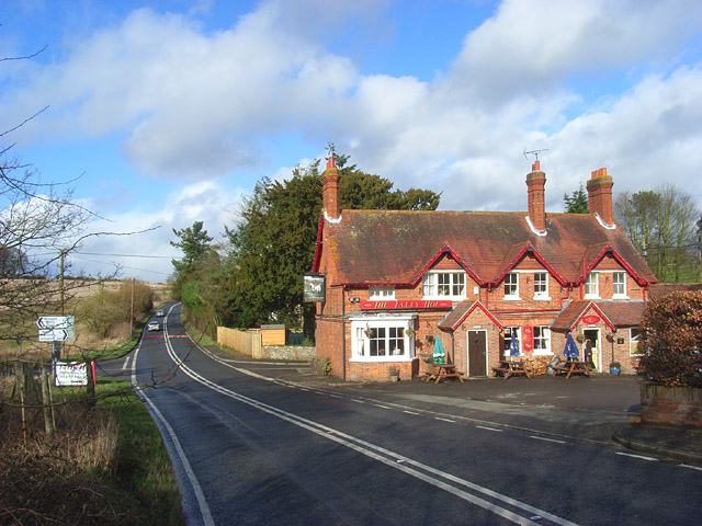
Stockcross
Stockcross is a village in Berkshire, England. The village lies to the west of Newbury in the civil parish of Speen and the district of West Berkshire...

Marsh Benham
Marsh Benham is a village in the civil parish of Speen in the county of Berkshire, England. It is situated in the unitary authority of West Berkshire,...

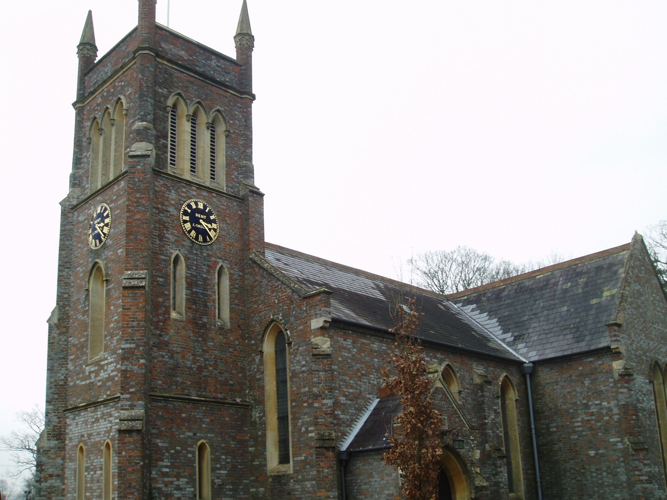
The Vineyard Hotel
The Vineyard is a hotel, restaurant and spa located near Newbury, Berkshire, United Kingdom, rated 5-star prior to 2014. It has won a number of awards...
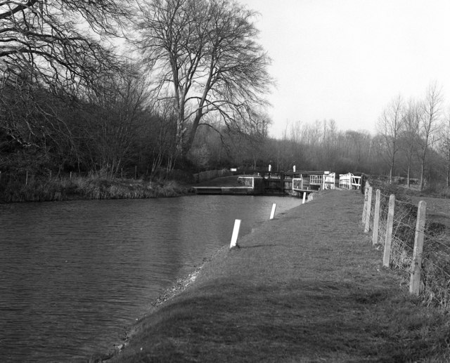
Copse Lock
Copse Lock is a lock on the Kennet and Avon Canal, between Kintbury and Newbury, Berkshire, England. The lock has a rise/fall of 6 ft 0 in (1.82 m)....
Hamstead Lock
Hamstead Lock is a lock on the Kennet and Avon Canal, at Hamstead Marshall between Kintbury and Newbury, Berkshire, England. The lock has a rise/fall...

Stockcross and Bagnor Halt railway station
Stockcross and Bagnor Halt railway station was a railway station near Newbury, Berkshire, UK, on the Lambourn Valley Railway. It served the villages of...
Hunts Green, Berkshire
Hunts Green is a hamlet in Berkshire, England, and part of the civil parish of Boxford. The settlement lies west of the A34 road (Newbury Bypass) and approximately...
Hungerford Newtown
Hungerford Newtown is a hamlet in the civil parish of Hungerford, Berkshire, England. It is south of the M4 motorway, near junction 14, on the A338, and...
Nearby Amenities
Located within 500m of 51.413851,-1.3849128Have you been to Oak Copse?
Leave your review of Oak Copse below (or comments, questions and feedback).