Common Wood

Wood, Forest in Berkshire

England

Common Wood

Red Berries at Coombesbury Farm Colourful winter fruit beside Coombesbury Lane.
Very neat along here. It looks like a private drive, but it's an ordinary road.
Red Berries at Coombesbury Farm Credit: Des Blenkinsopp

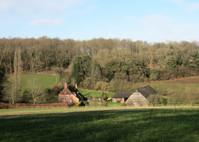
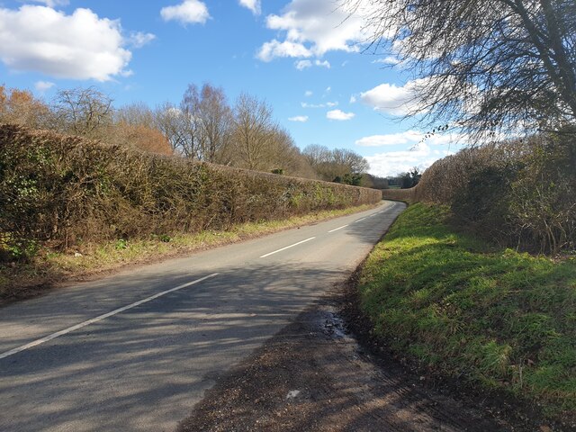
Common Wood is a picturesque forest located in the county of Berkshire, England. Covering an area of approximately 1,000 acres, it is a popular destination for nature lovers and outdoor enthusiasts. The wood is situated in the southern part of the county, near the town of Thatcham.

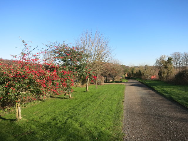
The woodland is primarily composed of deciduous trees such as oak, beech, and birch, which create a vibrant and diverse ecosystem. It is home to a variety of wildlife, including deer, foxes, squirrels, and a wide array of bird species. Nature enthusiasts can often spot rare and endangered species of butterflies and insects fluttering about.

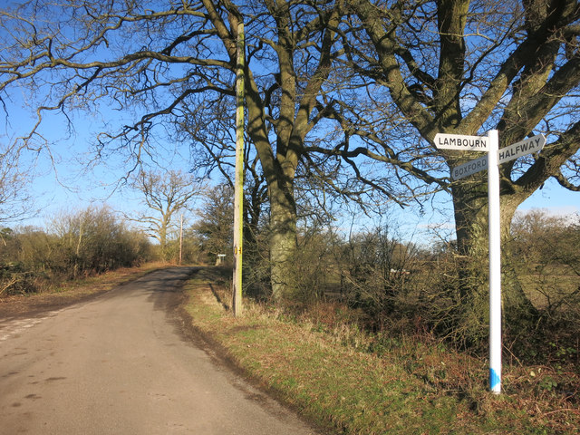
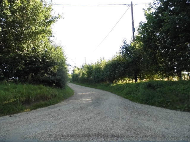
Common Wood offers a network of well-maintained trails and pathways, making it an ideal location for walking, hiking, and cycling. Visitors can explore the wood at their own pace, immersing themselves in the tranquil atmosphere and enjoying the sights and sounds of nature. The forest also provides opportunities for picnicking and camping, allowing visitors to fully appreciate the beauty of the surroundings.

The wood holds great historical significance, with evidence of human activity dating back to the Iron Age. Archaeological discoveries, including ancient burial mounds and remnants of settlements, highlight the area's rich cultural heritage.

Common Wood is easily accessible, with ample parking facilities and nearby public transportation options. It is a cherished natural gem in Berkshire, offering a peaceful retreat from the hustle and bustle of urban life.

If you have any feedback on the listing, please let us know in the comments section below.
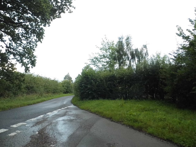
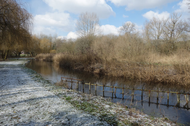
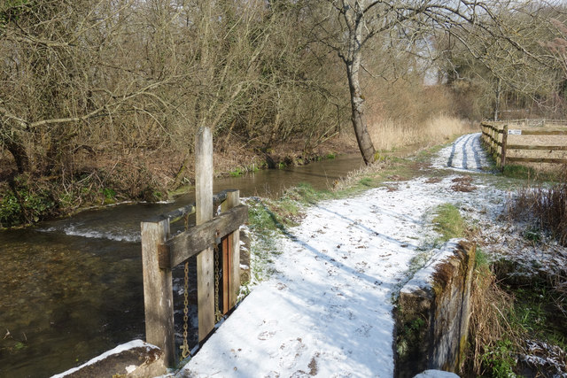
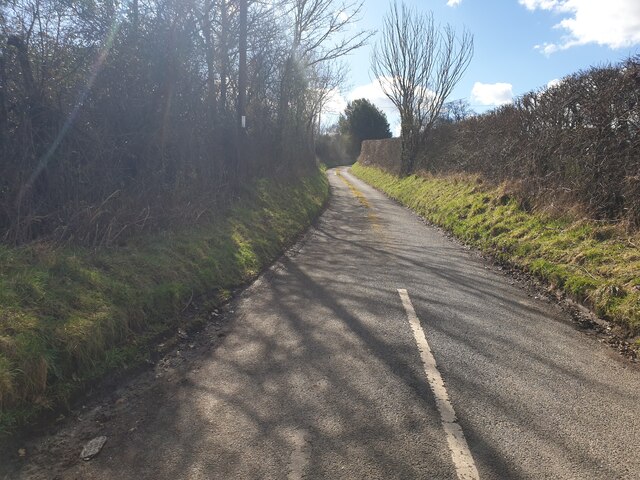
Common Wood Images

Images are sourced within 2km of 51.414959/-1.3938996 or Grid Reference SU4268. Thanks to Geograph Open Source API. All images are credited.

Red Berries at Coombesbury Farm Colourful winter fruit beside Coombesbury Lane.
Very neat along here. It looks like a private drive, but it's an ordinary road.
Red Berries at Coombesbury Farm
Colourful winter fruit beside Coombesbury Lane. Very neat along here. It looks like a private drive, but it's an ordinary road.
Lower Farm, Ownham Upper Farm is on the other side of the trees.
Lower Farm, Ownham
Upper Farm is on the other side of the trees.
Junction for Lambourn A lane near Hoe Benham.
Junction for Lambourn
A lane near Hoe Benham.
Track to Huntsgreen Farm, Hunt's Green
Junction on Hoe Benham Lane
The Lambourn at Hunt's Green
Sluice Gate on the Lambourn The river divides into several channels here and flows around some old water meadows.
Sluice Gate on the Lambourn
The river divides into several channels here and flows around some old water meadows.
Coomesbury Lane Looking up Coomesbury Lane from near to Lambourn Road.
Coomesbury Lane
Looking up Coomesbury Lane from near to Lambourn Road.
Lambourn Road Looking east along Lambourn Road from Coomesbury Lane.
Lambourn Road
Looking east along Lambourn Road from Coomesbury Lane.
Hoe Benham Lane At a junction between an unnamed lane and Hoe Benham Lane. Both lead to Ermin Street (the B4000).
Hoe Benham Lane
At a junction between an unnamed lane and Hoe Benham Lane. Both lead to Ermin Street (the B4000).
Welcome to Hoe Benham A lane entering Hoe Benham, a hamlet.
Welcome to Hoe Benham
A lane entering Hoe Benham, a hamlet.
Two Farms near Boxford This grid square contains at least three farms, two of which are visible in this picture. The farm to the left behind the trees is Ownham and the farm to the right of the picture, Moorbridge farm. The other farm, Coombesbury Farm is more or less south east of this view
Two Farms near Boxford
This grid square contains at least three farms, two of which are visible in this picture. The farm to the left behind the trees is Ownham and the farm to the right of the picture, Moorbridge farm. The other farm, Coombesbury Farm is more or less south east of this view
Coombesbury Farm Building This farm is situated amongst three other farms in this grid square. This view is of one of the barns on Coombesbury Lane in the south eastern section of the grid square. This view was more or less from south west of the barn.
Coombesbury Farm Building
This farm is situated amongst three other farms in this grid square. This view is of one of the barns on Coombesbury Lane in the south eastern section of the grid square. This view was more or less from south west of the barn.
Coombesbury Farm This view, looking more or less north east along the road towards the farm buildings. This grid square is  all farmland.
Coombesbury Farm
This view, looking more or less north east along the road towards the farm buildings. This grid square is all farmland.
River Lambourn One of the braided streams of the river.  I don't know whether the scaffold piling is intended to be permanent, but it look rather ugly.
River Lambourn
One of the braided streams of the river. I don't know whether the scaffold piling is intended to be permanent, but it look rather ugly.
Old entrance lodge, Benham Park. Benham Park is a Georgian mansion which was built for Lord Craven in 1775. It is now an office complex and the entrance is now at the other end of the park near the A4/A34 junction.
Old entrance lodge, Benham Park.
Benham Park is a Georgian mansion which was built for Lord Craven in 1775. It is now an office complex and the entrance is now at the other end of the park near the A4/A34 junction.
The Lake Benham Park: Near Speen and Newbury This lake view is of the far western section of the lake and situated in the centre of this grid square. This picture was taken from the north side of the lake looking south west.
The Lake Benham Park: Near Speen and Newbury
This lake view is of the far western section of the lake and situated in the centre of this grid square. This picture was taken from the north side of the lake looking south west.
Hamstead Lock at Marsh Benham The lock is situated in the southern most edge of the grid square. This picture was taken looking west.
Hamstead Lock at Marsh Benham
The lock is situated in the southern most edge of the grid square. This picture was taken looking west.
Show me another place!

Common Wood is located at Grid Ref: SU4268 (Lat: 51.414959, Lng: -1.3938996)

Unitary Authority: West Berkshire

Police Authority: Thames Valley

What 3 Words

///geek.socialite.dice. Near Wickham, Berkshire

Related Wikis

Wickham Heath

Wickham Heath is a small hamlet in Berkshire, England, and part of the civil parish of Welford. The settlement lies on the B4000, approximately 4 miles...

Stockcross

Stockcross is a village in Berkshire, England. The village lies to the west of Newbury in the civil parish of Speen and the district of West Berkshire...

Marsh Benham

Marsh Benham is a village in the civil parish of Speen in the county of Berkshire, England. It is situated in the unitary authority of West Berkshire,...
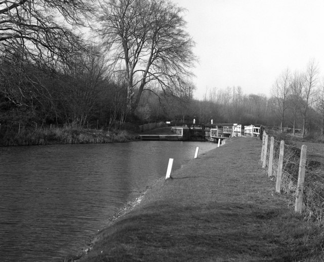
Copse Lock

Copse Lock is a lock on the Kennet and Avon Canal, between Kintbury and Newbury, Berkshire, England. The lock has a rise/fall of 6 ft 0 in (1.82 m)....

Nearby Amenities

Located within 500m of 51.414959,-1.3938996
Power: pole
Source: Bing
Lat/Long: 51.4123937/-1.3995378
Power: pole
Source: Bing
Lat/Long: 51.4131407/-1.3994847
Power: pole
Source: Bing
Lat/Long: 51.4139369/-1.399478
Power: pole
Source: Bing
Lat/Long: 51.4143759/-1.4001855
Power: pole
Source: Bing
Lat/Long: 51.414821/-1.4008939
Power: pole
Source: Bing
Lat/Long: 51.4138804/-1.3981988
Power: pole
Source: Bing
Lat/Long: 51.4138307/-1.3968899
Power: pole
Source: Bing
Lat/Long: 51.4137832/-1.3955829
The data included in this document is from www.openstreetmap.org. The data is made available under ODbL.

Have you been to Common Wood?

Leave your review of Common Wood below (or comments, questions and feedback).