Broom Covert

Wood, Forest in Berkshire

England

Broom Covert

Red Berries at Coombesbury Farm Colourful winter fruit beside Coombesbury Lane.
Very neat along here. It looks like a private drive, but it's an ordinary road.
Red Berries at Coombesbury Farm Credit: Des Blenkinsopp

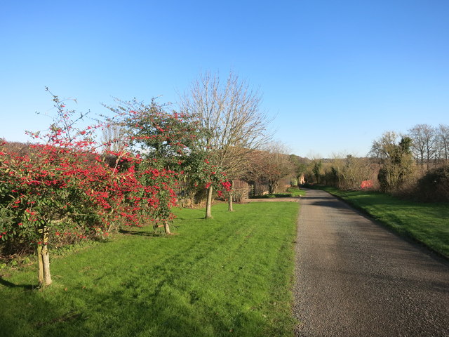
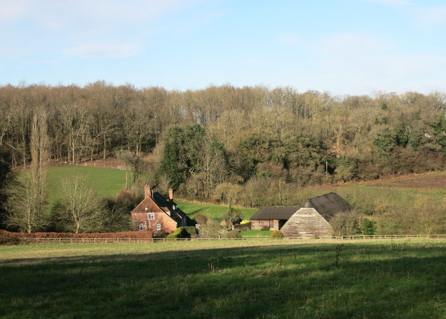
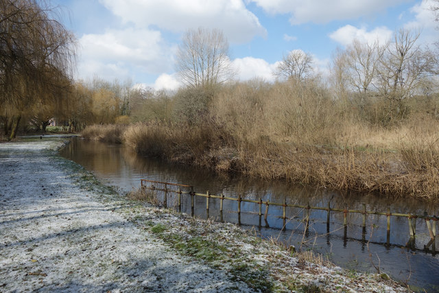
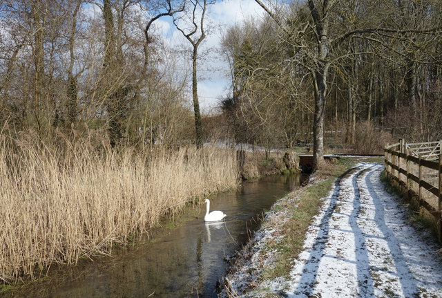
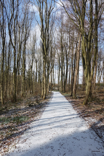
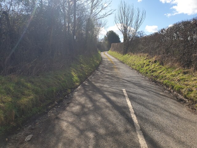
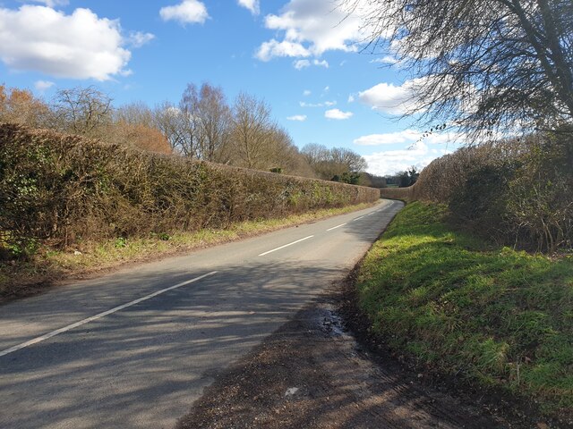
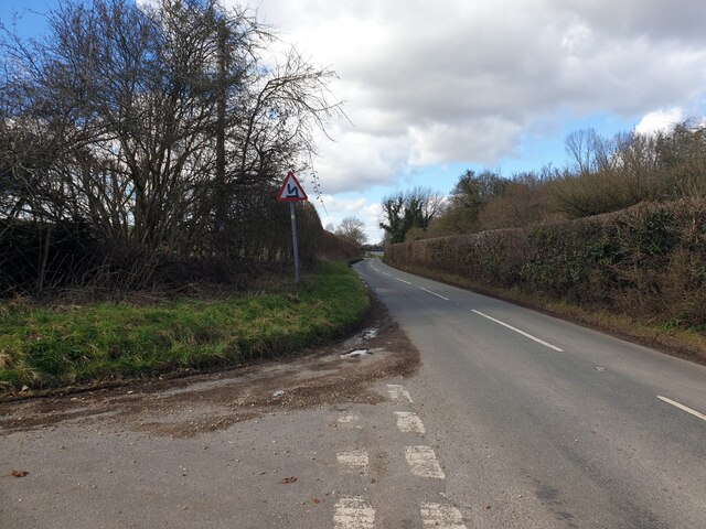
Broom Covert is a dense woodland area located in Berkshire, England. Situated within the larger forested region of the county, it is a notable natural feature that attracts both locals and tourists alike. The woodland covers an approximate area of 200 acres and is characterized by its diverse range of tree species, including oak, birch, beech, and pine.

The forest floor of Broom Covert is rich with a variety of wildflowers, ferns, and mosses, creating a vibrant and picturesque landscape. This abundance of plant life provides a habitat for numerous species of wildlife, such as deer, rabbits, foxes, and a variety of bird species, making it a popular spot for nature enthusiasts and birdwatchers.

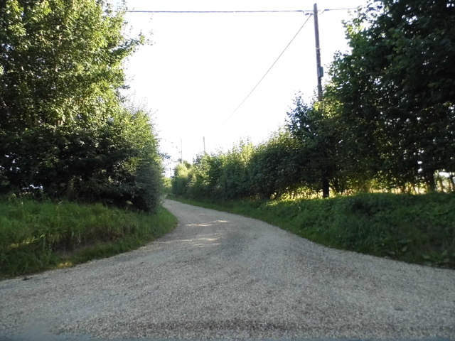
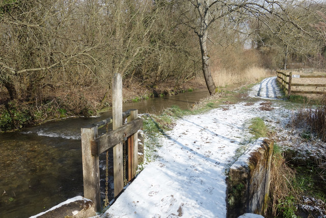
The woodland is intersected by a network of footpaths and trails, allowing visitors to explore its beauty at their own pace. These paths wind through the forest, leading to hidden clearings and secluded spots that offer a tranquil and peaceful atmosphere.

Broom Covert has a rich history, with evidence of human activity dating back to ancient times. The woodland was once used for timber production, and remnants of old saw pits and charcoal platforms can still be found scattered throughout the area. Today, the woodland is managed by local authorities, focusing on conservation and maintaining a balanced ecosystem.

Overall, Broom Covert in Berkshire is a captivating woodland area, offering a serene and scenic escape from the hustle and bustle of everyday life. Its diverse flora and fauna, coupled with its rich history, make it a must-visit destination for nature lovers and those seeking a tranquil retreat.

If you have any feedback on the listing, please let us know in the comments section below.

Broom Covert Images

Images are sourced within 2km of 51.415564/-1.39103 or Grid Reference SU4268. Thanks to Geograph Open Source API. All images are credited.

Red Berries at Coombesbury Farm Colourful winter fruit beside Coombesbury Lane.
Very neat along here. It looks like a private drive, but it's an ordinary road.
Red Berries at Coombesbury Farm
Colourful winter fruit beside Coombesbury Lane. Very neat along here. It looks like a private drive, but it's an ordinary road.
Lower Farm, Ownham Upper Farm is on the other side of the trees.
Lower Farm, Ownham
Upper Farm is on the other side of the trees.
Letterbox near Ownham The road is called Rood Hill further north but uncertain if it continues all the way to Newbury
Letterbox near Ownham
The road is called Rood Hill further north but uncertain if it continues all the way to Newbury
Track to Huntsgreen Farm, Hunt's Green
The Lambourn at Hunt's Green
Swan on the Lambourn This is a side channel around some old water meadows.
Swan on the Lambourn
This is a side channel around some old water meadows.
Lambourn Valley Way in the Snow In a wood called Jannaways.
Lambourn Valley Way in the Snow
In a wood called Jannaways.
Sluice Gate on the Lambourn The river divides into several channels here and flows around some old water meadows.
Sluice Gate on the Lambourn
The river divides into several channels here and flows around some old water meadows.
Coomesbury Lane Looking up Coomesbury Lane from near to Lambourn Road.
Coomesbury Lane
Looking up Coomesbury Lane from near to Lambourn Road.
Lambourn Road Looking east along Lambourn Road from Coomesbury Lane.
Lambourn Road
Looking east along Lambourn Road from Coomesbury Lane.
Lambourn Road Looking west along Lambourn Road from Coomesbury Lane.
Lambourn Road
Looking west along Lambourn Road from Coomesbury Lane.
Path to Bagnor From Boxford the path to Bagnor goes left by Jannaways
Path to Bagnor
From Boxford the path to Bagnor goes left by Jannaways
Two Farms near Boxford This grid square contains at least three farms, two of which are visible in this picture. The farm to the left behind the trees is Ownham and the farm to the right of the picture, Moorbridge farm. The other farm, Coombesbury Farm is more or less south east of this view
Two Farms near Boxford
This grid square contains at least three farms, two of which are visible in this picture. The farm to the left behind the trees is Ownham and the farm to the right of the picture, Moorbridge farm. The other farm, Coombesbury Farm is more or less south east of this view
Coombesbury Farm Building This farm is situated amongst three other farms in this grid square. This view is of one of the barns on Coombesbury Lane in the south eastern section of the grid square. This view was more or less from south west of the barn.
Coombesbury Farm Building
This farm is situated amongst three other farms in this grid square. This view is of one of the barns on Coombesbury Lane in the south eastern section of the grid square. This view was more or less from south west of the barn.
Coombesbury Farm This view, looking more or less north east along the road towards the farm buildings. This grid square is  all farmland.
Coombesbury Farm
This view, looking more or less north east along the road towards the farm buildings. This grid square is all farmland.
Snowdrops at Jannaways The Lambourn Valley Path passes through copses of woodland in this area, in which we found snowdrops in profusion.  Spring is coming.
Snowdrops at Jannaways
The Lambourn Valley Path passes through copses of woodland in this area, in which we found snowdrops in profusion. Spring is coming.
Felling on the Lambourn There had been a lot of felling in the area.  The trees, and the sawdust, were very red.  This is exactly the colour we saw.  What species of tree is this?  The river I know, it is the Lambourn.
Felling on the Lambourn
There had been a lot of felling in the area. The trees, and the sawdust, were very red. This is exactly the colour we saw. What species of tree is this? The river I know, it is the Lambourn.
Show me another place!

Broom Covert is located at Grid Ref: SU4268 (Lat: 51.415564, Lng: -1.39103)

Unitary Authority: West Berkshire

Police Authority: Thames Valley

What 3 Words

///gems.boards.cobbles. Near Wickham, Berkshire

Related Wikis

Stockcross

Stockcross is a village in Berkshire, England. The village lies to the west of Newbury in the civil parish of Speen and the district of West Berkshire...
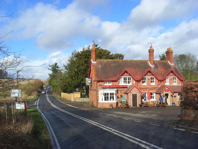
Wickham Heath

Wickham Heath is a small hamlet in Berkshire, England, and part of the civil parish of Welford. The settlement lies on the B4000, approximately 4 miles...

Marsh Benham

Marsh Benham is a village in the civil parish of Speen in the county of Berkshire, England. It is situated in the unitary authority of West Berkshire,...
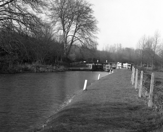
Copse Lock

Copse Lock is a lock on the Kennet and Avon Canal, between Kintbury and Newbury, Berkshire, England. The lock has a rise/fall of 6 ft 0 in (1.82 m)....

Hamstead Lock

Hamstead Lock is a lock on the Kennet and Avon Canal, at Hamstead Marshall between Kintbury and Newbury, Berkshire, England. The lock has a rise/fall...

Ownham

Ownham is a hamlet in Berkshire, England, and part of the civil parish of Boxford (where according to the Grid Ref at the 2011 Census the majority of the...

Hunts Green, Berkshire

Hunts Green is a hamlet in Berkshire, England, and part of the civil parish of Boxford. The settlement lies west of the A34 road (Newbury Bypass) and approximately...

Hungerford Newtown

Hungerford Newtown is a hamlet in the civil parish of Hungerford, Berkshire, England. It is south of the M4 motorway, near junction 14, on the A338, and...

Nearby Amenities

Located within 500m of 51.415564,-1.39103
Power: pole
Source: Bing
Lat/Long: 51.4138307/-1.3968899
Power: pole
Source: Bing
Lat/Long: 51.4137832/-1.3955829
Historic: milestone
Inscription: To Newbury 3; To London 59
Lat/Long: 51.4117565/-1.388251
The data included in this document is from www.openstreetmap.org. The data is made available under ODbL.

Have you been to Broom Covert?

Leave your review of Broom Covert below (or comments, questions and feedback).