Ash
Settlement in Dorset
England
Ash
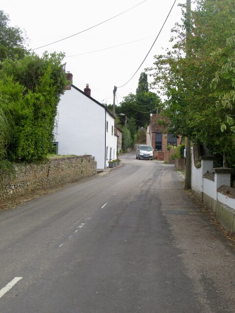
Ash is a charming village located in the county of Dorset, England. Situated on the South Dorset Downs, it lies approximately 10 miles east of the county town of Dorchester and is part of the West Dorset district. With a population of around 1,200 residents, Ash maintains a tight-knit community atmosphere.
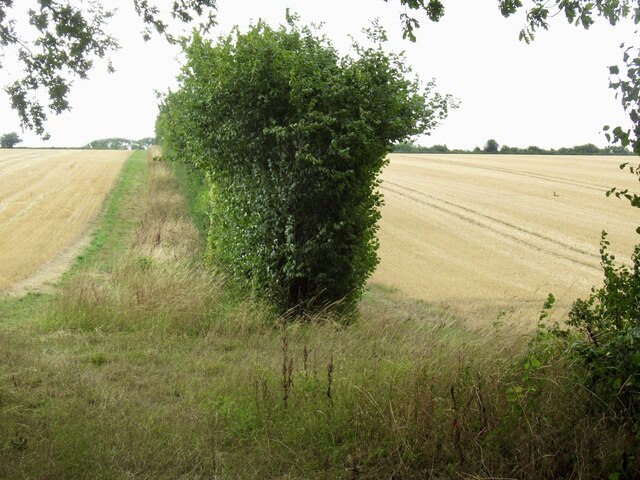
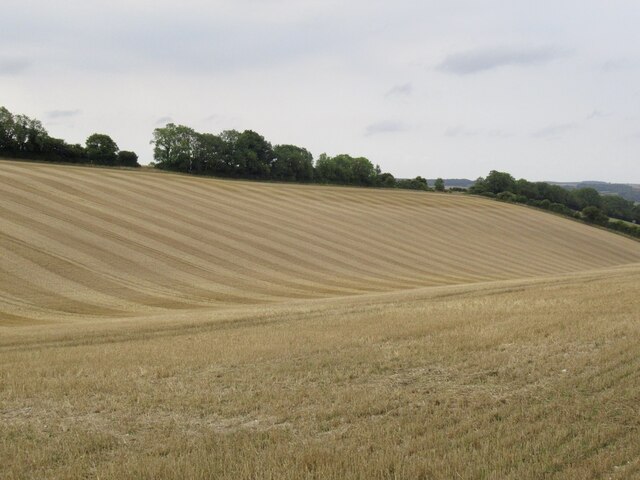
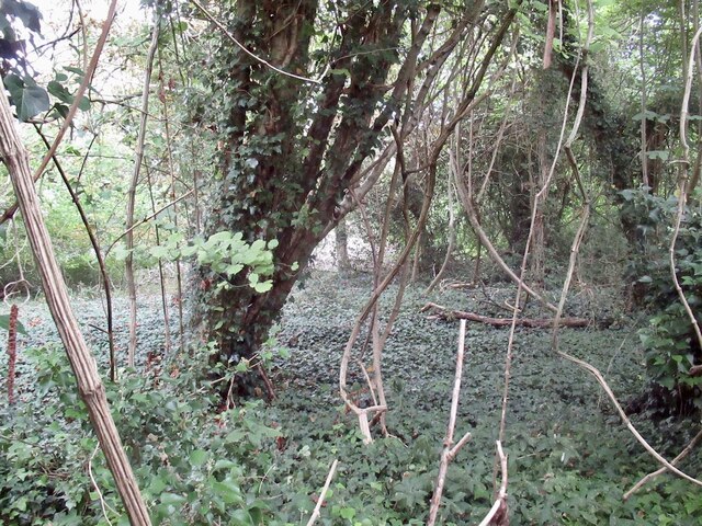
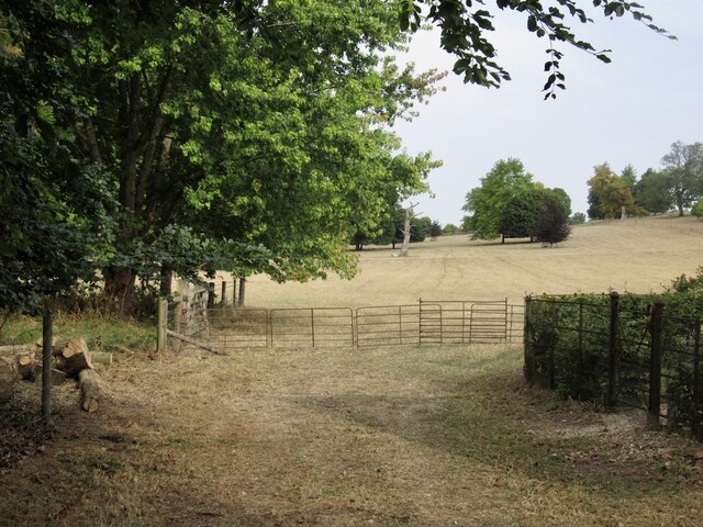
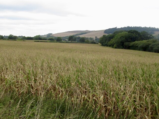
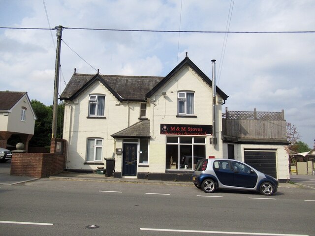
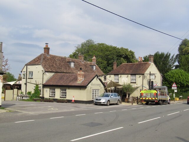
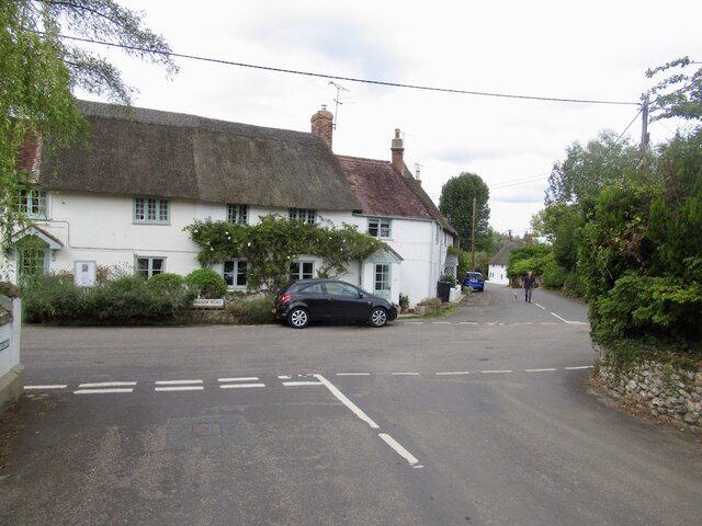
The village is known for its picturesque setting amidst rolling countryside, offering breathtaking views of the surrounding landscape. It is characterized by a mix of traditional thatched cottages, quaint stone houses, and modern dwellings, creating a diverse architectural tapestry.
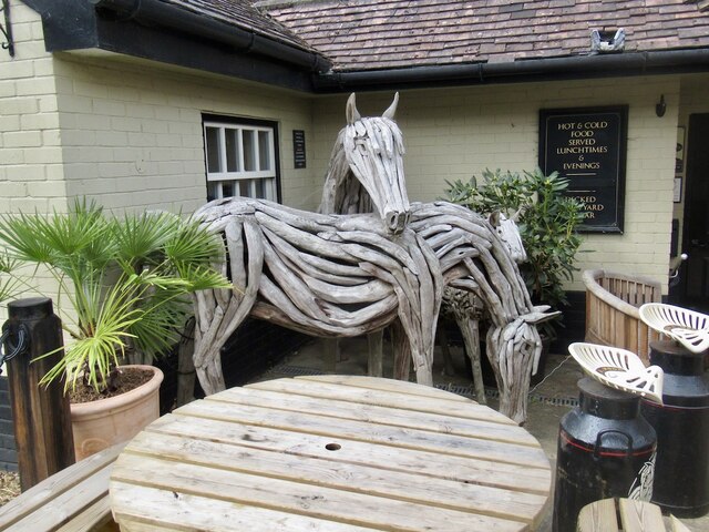
Ash is home to several amenities, including a local pub, a village hall, and a primary school, providing essential services and fostering community engagement. The village also boasts a beautiful 13th-century church, St. Nicholas, which stands as a testament to its rich history.
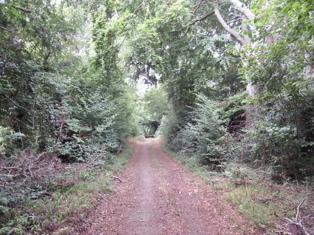
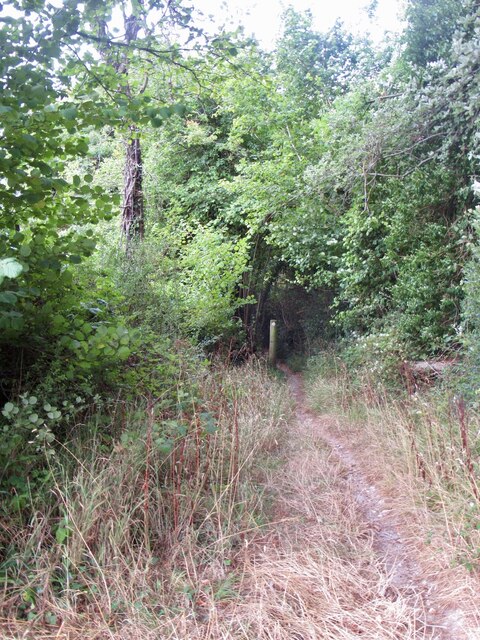
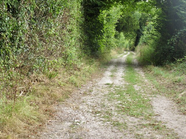
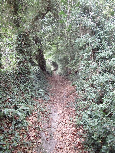
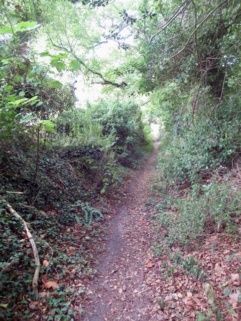
Nature enthusiasts will find themselves in paradise, with numerous walking trails and footpaths meandering through the countryside. The nearby Ashcombe Forest offers an ideal spot for outdoor activities such as hiking and cycling.
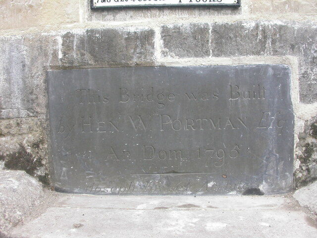
For those seeking a taste of history, Ash is conveniently located near several historical sites. Maiden Castle, one of the largest Iron Age hillforts in Europe, is just a short drive away. Additionally, the vibrant market town of Bridport, renowned for its arts scene and historic charm, is within easy reach.
Overall, Ash, Dorset, offers a tranquil and idyllic setting for residents and visitors alike, combining natural beauty, a strong sense of community, and a rich historical heritage.
If you have any feedback on the listing, please let us know in the comments section below.
Ash Images
Images are sourced within 2km of 50.891997/-2.1923864 or Grid Reference ST8610. Thanks to Geograph Open Source API. All images are credited.

Ash is located at Grid Ref: ST8610 (Lat: 50.891997, Lng: -2.1923864)
Unitary Authority: Dorset
Police Authority: Dorset
What 3 Words
///loses.plantings.voices. Near Shillingstone, Dorset
Nearby Locations
Related Wikis

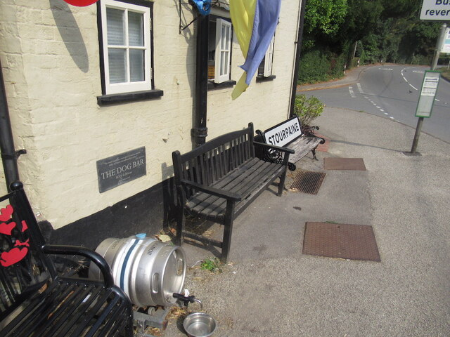
Ash (near Stourpaine)
Ash is a hamlet approximately 0.5 miles (1 km) north of the village of Stourpaine, Dorset, England.Ash was listed in the Domesday Book of 1086. == References... ==

Stourpaine
Stourpaine () is a village and civil parish in the ceremonial county of Dorset in southern England. It is situated in the valley of the River Stour in...

Hod Hill
Hod Hill (or Hodd Hill) is a large hill fort in the Blackmore Vale, 3 miles (5 km) north-west of Blandford Forum, Dorset, England. The fort sits on a 143...

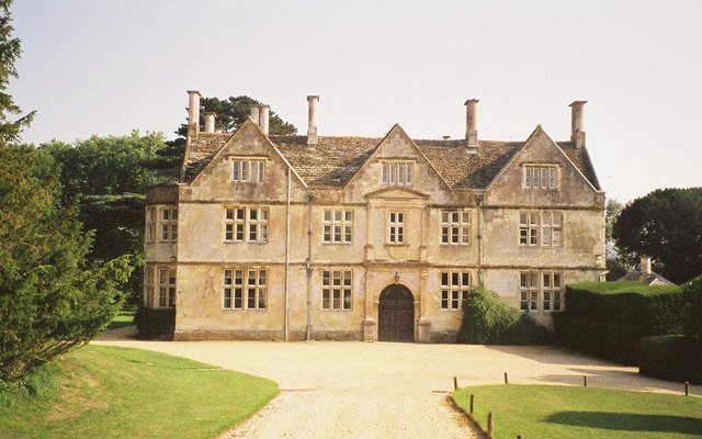
Stepleton House
Stepleton House is a 17th-century country house in the parish of Iwerne Stepleton in Dorset, situated about 5 kilometres (3 mi) north of Blandford Forum...

Stourpaine and Durweston railway station
Stourpaine & Durweston Halt was a railway station in the English county of Dorset. It was located between Shillingstone and Blandford Forum on the Somerset...

Durweston
Durweston ( dər-WES-tən) is a village and civil parish in the English county of Dorset. It lies two miles (three kilometres) northwest of the town of Blandford...

Iwerne Stepleton
Iwerne Stepleton (anciently Ewern Stapleton, etc.) is a small civil parish and former manor in the county of Dorset, England. The parish comprises about...
Hanford School
Hanford School is a girls' boarding preparatory school located in Hanford, Child Okeford, Dorset, England, established in 1947 and located in a grade II...
Nearby Amenities
Located within 500m of 50.891997,-2.1923864Have you been to Ash?
Leave your review of Ash below (or comments, questions and feedback).